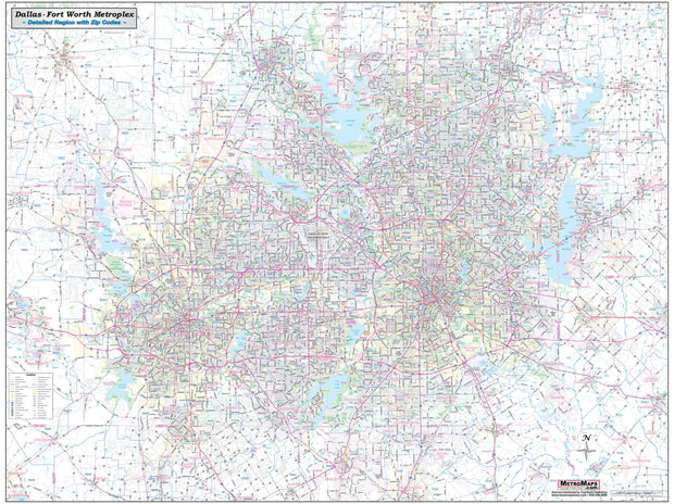
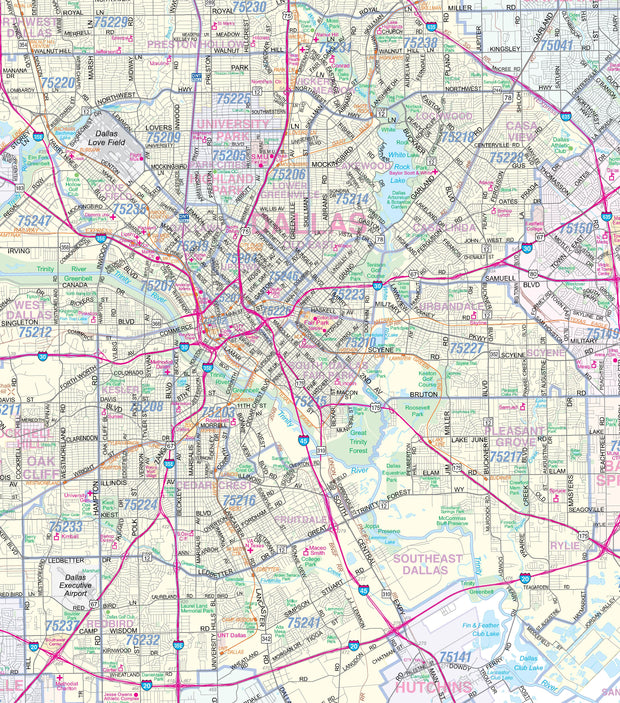
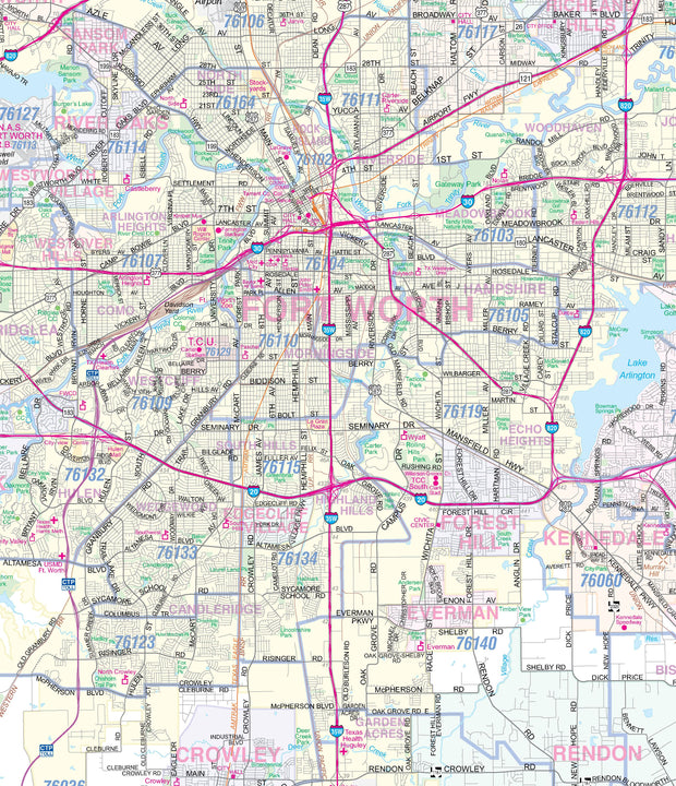
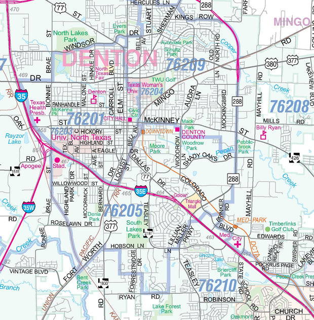
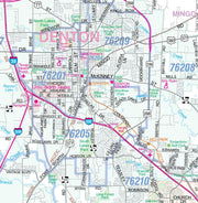
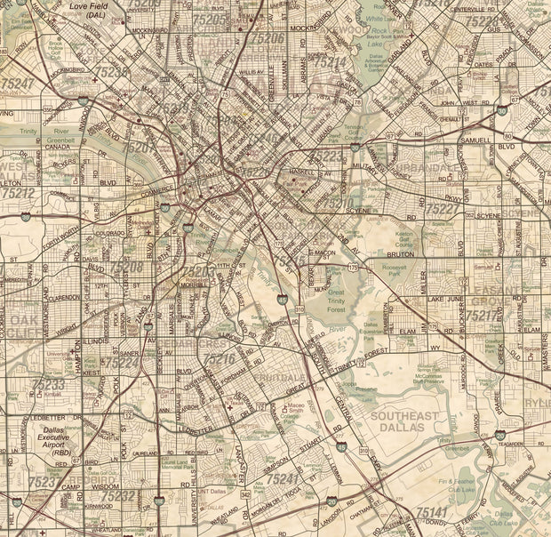
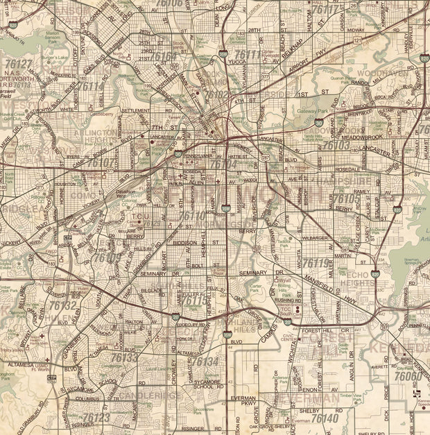
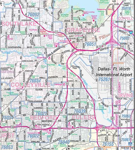
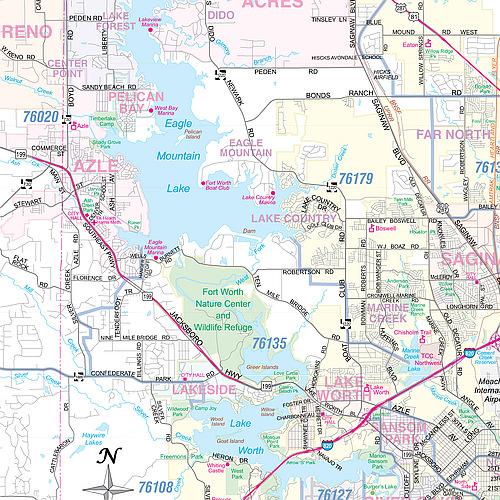
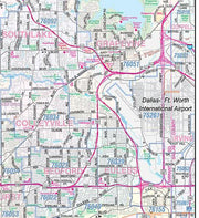
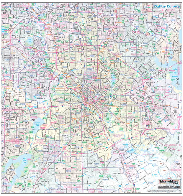
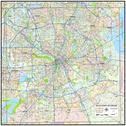
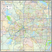
Dallas–Fort Worth, Texas – High-Resolution Satellite View Map
Experience the scale and energy of the Dallas–Fort Worth metroplex from above. This high-resolution satellite view map captures one of the largest and most dynamic urban regions in the United States — where dense city centers, sprawling neighborhoods, major highways, lakes, rivers, and green spaces all come together in a striking aerial landscape.
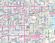
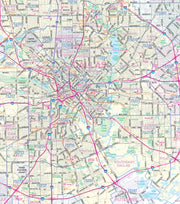
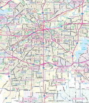
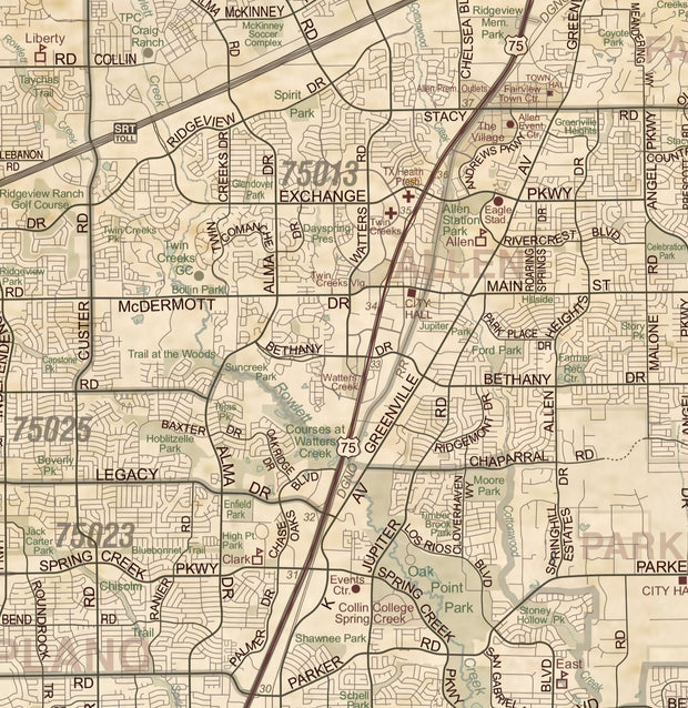
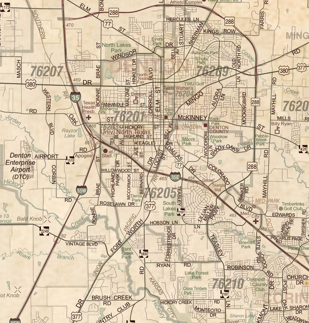
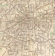
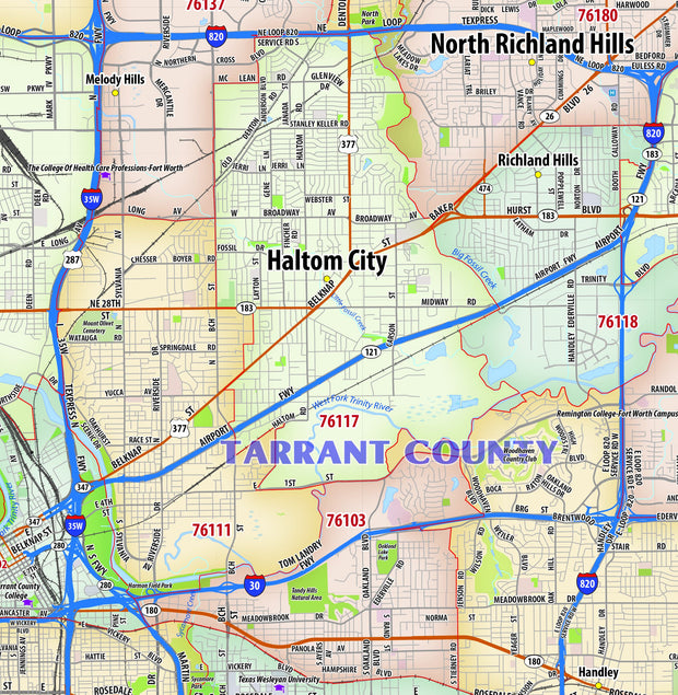
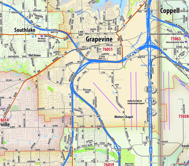
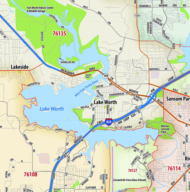
From the distinct skylines of Dallas and Fort Worth to the web of interstates that connect the region, this map reveals the true footprint of North Texas. You’ll see the Trinity River winding through the cities, the surrounding suburbs that stretch for miles, and the balance between urban development and open land that defines the Metroplex.
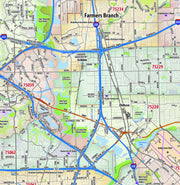
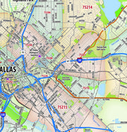
Unlike traditional street maps, this piece shows the real Dallas–Fort Worth — actual buildings, terrain, waterways, and land patterns — offering a true-to-life aerial view that’s both visually impressive and geographically accurate.
Whether you’re a longtime local, a proud Texan, a DFW transplant, or someone with ties to the area through work, school, or family, this map makes a bold and meaningful addition to any wall. It’s perfect for home offices, living rooms, corporate spaces, and real estate or design professionals who appreciate the scale and structure of the region.
Imagery Source & Quality
This product leverages the USGS National Agriculture Imagery Program (NAIP) imagery service from The National Map to generate natural color maps of the Lower 48 U.S. states. The result is a crisp, high-resolution image with realistic color and detail that highlights the streets, waterways, vegetation, and built environment of the Dallas–Fort Worth area with impressive clarity.
Features
-
True satellite imagery in natural color
-
High-resolution detail suitable for large-format printing
-
Clearly recognizable landmarks, neighborhoods, lakes, and terrain
-
A unique alternative to standard street or stylized maps
-
Designed to be both informative and visually striking
Print & Material Options
Your map is printed on heavy 36# bond paper for a durable, high-quality finish. You may also upgrade to satin-finish photo paper for richer color and a smoother, more photographic appearance.
Shipping
Each print is carefully rolled and shipped in a sturdy cardboard tube to ensure it arrives safely and ready for framing.
Bring the Dallas–Fort Worth Metroplex to your wall — not as a diagram, but as it truly looks from above.