Production Time 14-21 days
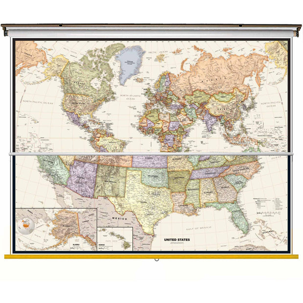
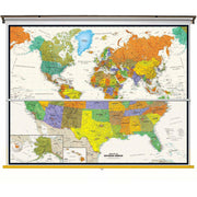
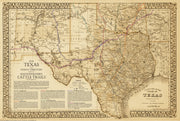
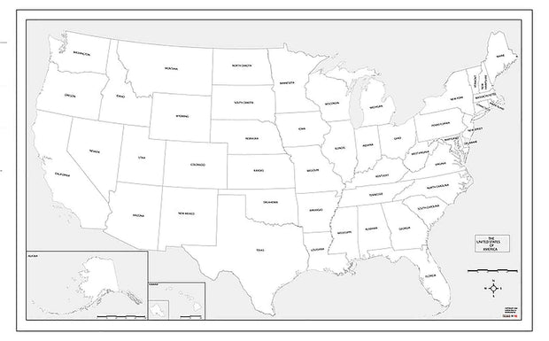
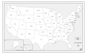
Perfect for home, business, or school, this Contemporary USA Wall Map - Spanish Version combines warm, attractive colors with high-detailed cartography. Details on this United States Wall Map include state boundaries and capitals along with other major cities and towns; major physical features such as mountain ranges and major mountain peaks; major water features such as oceans, seas, gulfs, and rivers; the Interstate highway system and other major roads; and all National Parks as well as other large National Park Service sites. Special features include traditional, blue-colored oceans and a white decorative border.
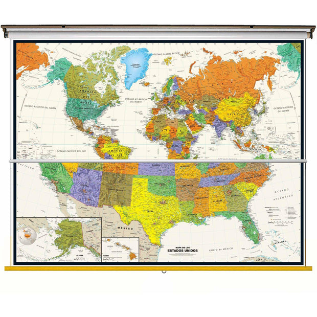
Perfecto para el hogar, negocio o escuela, este Mapa mural contempor?neo espa-ol en EE.UU., combina atractivos colores brillantes con la cartografÍa detallada de alta. Los detalles sobre este Mapa de Estados Unidos incluyen: las fronteras estatales y capitales, junto con otras ciudades y pueblos grandes; las principales caracterÍsticas fÍsicas, tales como cadenas monta-osas y los principales picos de las monta-as; principales caracterÍsticas del agua como oc-anos, mares, golfos, y rÍos; el sistema de autopistas interestatales y otras carreteras principales; y todos los parques nacionales, asÍ como otros sitios del Servicio de Parque Nacional de gran tama-o. Las caracterÍsticas especiales incluyen los oc-anos de color marfil y un borde decorativo negro.
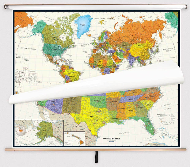
Spring Roller - Set
We know finding the perfect spring roller can be a difficult task. With all the options it can be overwhelming to find the perfect match. With our new sping roller sets, you no longer have to worry about finding your one true map.
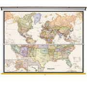
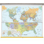
Each map will be laminated then loaded on the spring roller. The map in the back will have a pulldown bar and ring. The map in the front will have a white plastic flip bar. Pull down both maps using the pulldown bar to view the front map. To view the back map, you can flip the front map over the back of the spring roller using the flip bar.
This price includes Button Mounting Brackets to help with hanging and installation once received!
Returns
Unfortunately, with how these sets are made, we are not able to accept returns on our spring roller sets. If they are damaged in transit or you received the wrong order, please CONTACT US and we will get your map order corrected!
These maps are made to order. As such, shipping and handling times can vary from 2-4 weeks depending on the season. The back-to-school season is our busiest time for these maps.