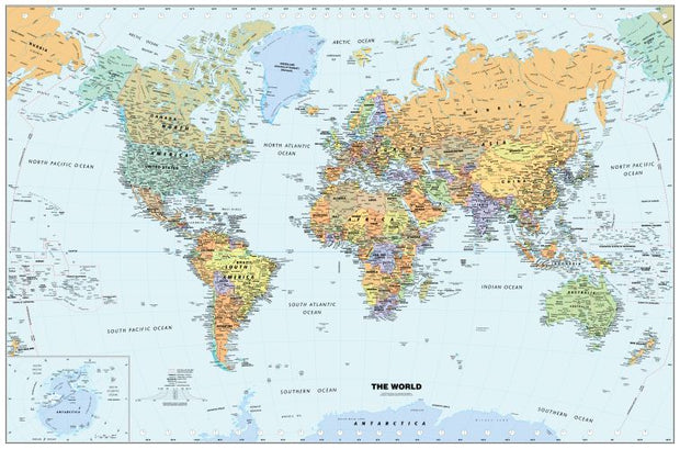
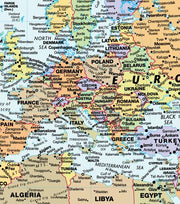
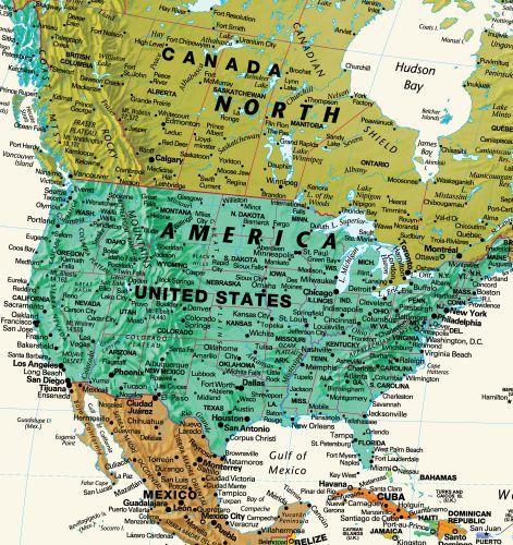
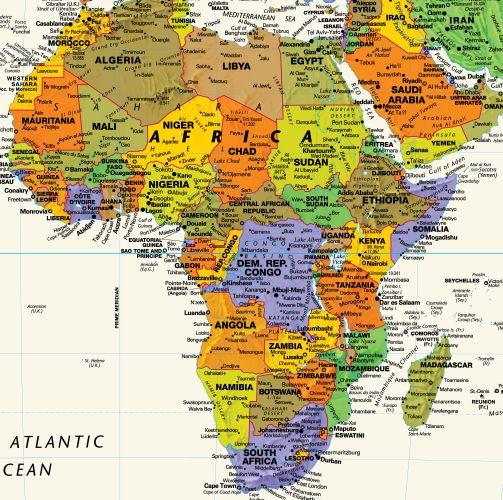
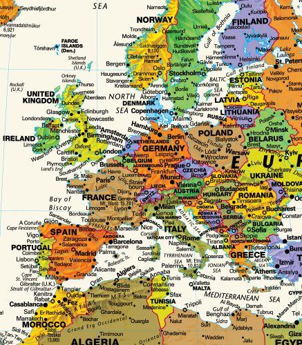
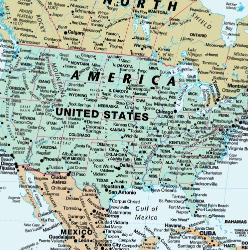
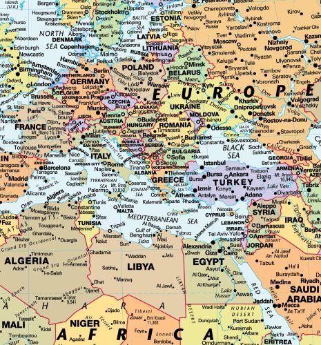
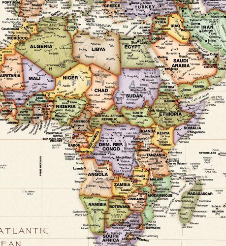
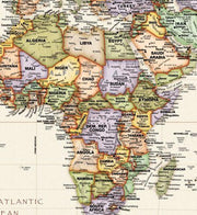
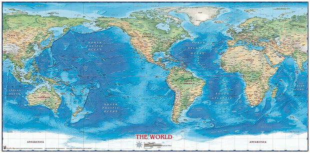
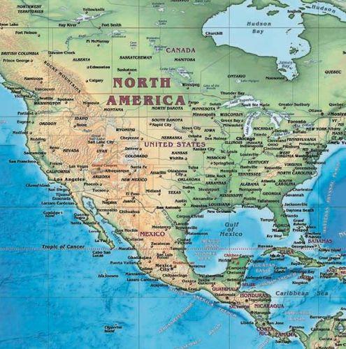
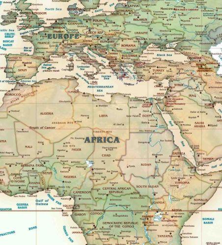
Perfect for home, business, or school, this Classic World Wall Map combines warm, traditional colors with high-detailed cartography. Details on this World Wall Map include: international boundaries and national capitals along with other major cities; major physical features such as mountain ranges, major mountain peaks, island chains, and deserts; and major water features such as oceans, seas, gulfs, and rivers
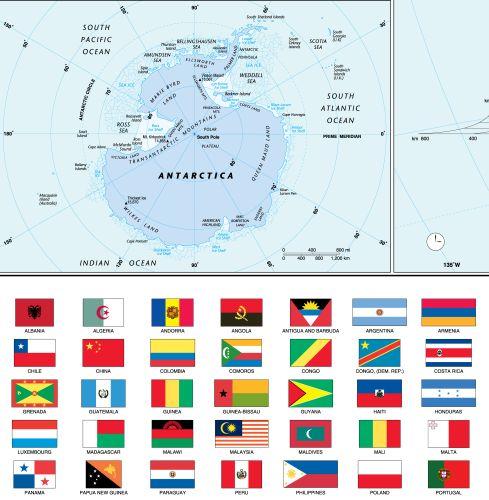
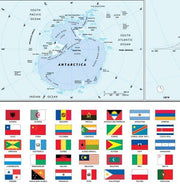
Special features include light blue-colored oceans, a white border, and an inset of Antarctica.This map of the world uses the Van Der Grinten projection
This map ships comes rolled and ships in a sturdy cardboard tube.
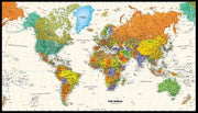
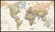
Contemporary World Wall Map by Globe Turner
WORLD04
Regular price
$69.95
-1 in stock
National Capitals
International Boundaries
Major Physical Features
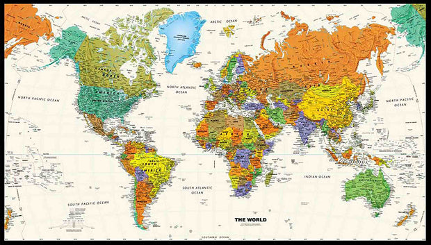
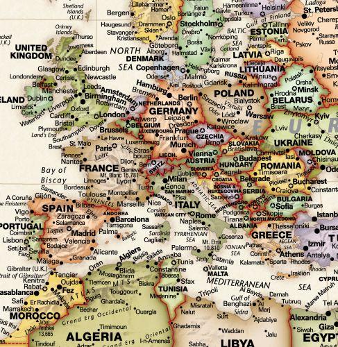
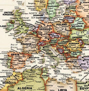
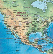
Perfect for home, business, or school, this Contemporary World Wall Map combines bright, attractive colors with high-detailed cartography. Details on this World Wall Map include: international boundaries and national capitals along with other major cities; major physical features such as mountain ranges, major mountain peaks, island chains, and deserts; and major water features such as oceans, seas, gulfs, and rivers.
Special features include ivory-colored oceans and a black decorative border.This map of the world uses the Van Der Grinten projection.
This edition features the new country names of Eswatini and North Macedonia, a new capital city for the country of Palau, Ngerulmud, and a change in name of the capital city of Kazakhstan from Astana to Nursultan.
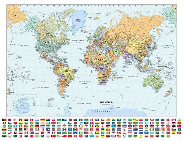
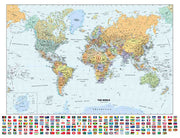
Classic World Wall Map with Flags by Globe Turner
WORLD02
Regular price
$69.95
-3 in stock
National Capitals and Flags
International Boundaries
Major Physical Features
Perfect for home, business, or school, this Classic World Wall Map with Flags combines warm, traditional colors with high-detailed cartography. Details on this World Wall Map include: international boundaries and national capitals along with other major cities; major physical features such as mountain ranges, major mountain peaks, island chains, and deserts; major water features such as oceans, seas, gulfs, and rivers; and national flags of each country.
Special features include light blue-colored oceans, a white decorative border, and an inset of Antarctica.This map of the world uses the Van Der Grinten projection.
This map comes rolled and ships in a sturdy cardboard tube.
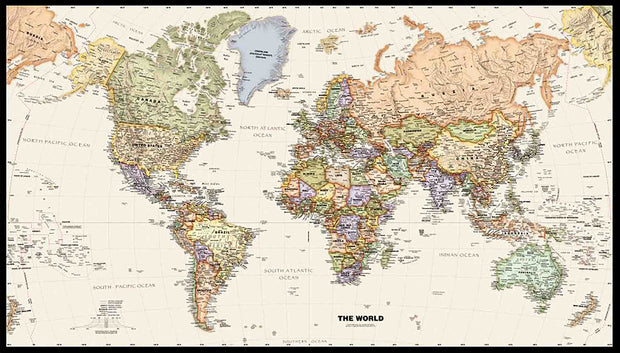
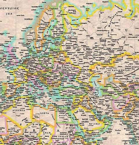
Legacy World Wall Map by Globe Turner
WORLD03
Regular price
$69.95
-2 in stock
National Capitals
International Boundaries
Major Physical Features
Perfect for home, business, or school, this Legacy World Wall Map combines bright, attractive colors with high-detailed cartography in an antique style. Details on this World Wall Map include: international boundaries and national capitals along with other major cities; major physical features such as mountain ranges, major mountain peaks, island chains, and deserts; and major water features such as oceans, seas, gulfs, and rivers.
Special features include ivory-colored oceans and a black decorative border. This map of the world uses the Van Der Grinten projection.
This map comes rolled and ships in a sturdy cardboard tube.
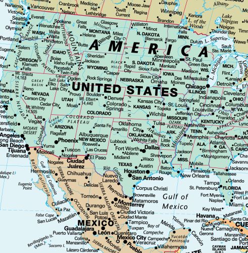
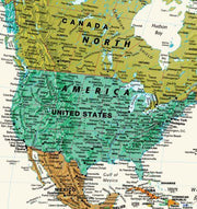
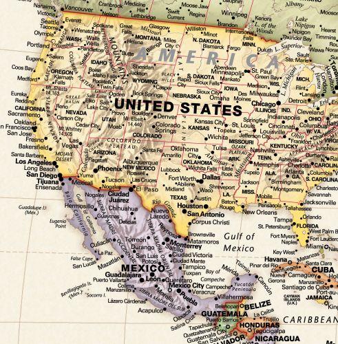
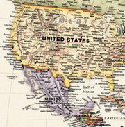
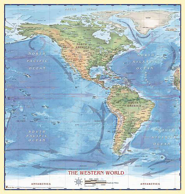
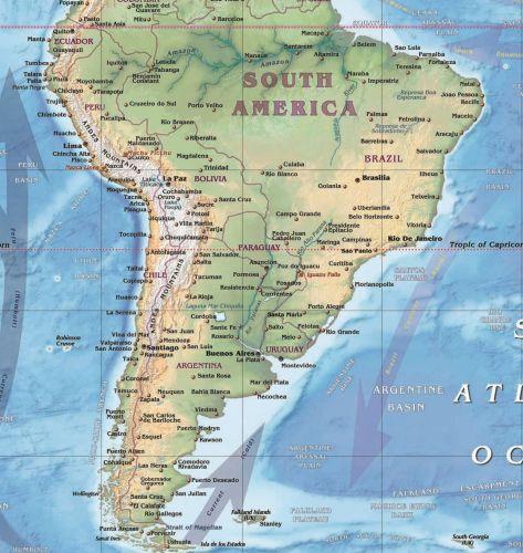
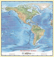
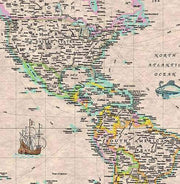
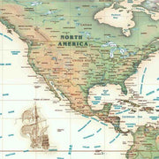
Western Hemisphere Wall Map
WORLD09
Regular price
$69.95
-1 in stock
International Borders
Physical Terrain
Longitude and Latitude
Beautifully illustrated with subtle earth tone hues, the detail is highly legible with country borders clearly defined. In classic Atlas style, this map can be used for general reference, to track current events, or as a piece of art. Decorators will find the color scheme works beautifully with most furniture and trim.
This map comes rolled and ships in a sturdy cardboard tube.
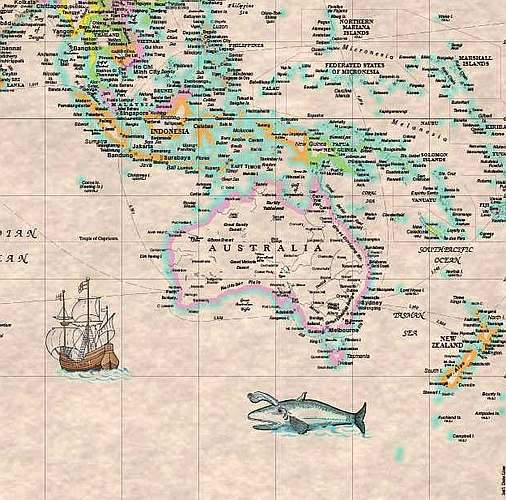
Antiqued World Wall Map
1 review
WORLD07
Regular price
$69.95
-1 in stock
National Borders
International Capitals
Ocean Relief
Introducing Compart Maps Antique World Wall Map/Mural. Beautifully illustrated with subtle antique parchment and earth tone hues, the detail is highly legible with country borders clearly defined.
In classic Antique Atlas style, this map can be used for general reference, to track current events, or as a piece of art.
Decorators will find the color scheme works beautifully with dark wood furniture and trim.
This map comes rolled and ships in a sturdy cardboard tube.
Beautifully illustrated with subtle earth tone hues, the detail is highly legible with country borders clearly defined. In classic Atlas style, this map can be used for general reference, to track current events, or as a piece of art. Decorators will find the color scheme works beautifully with most furniture and trim.
This map comes rolled and ships in a sturdy carboard tube.
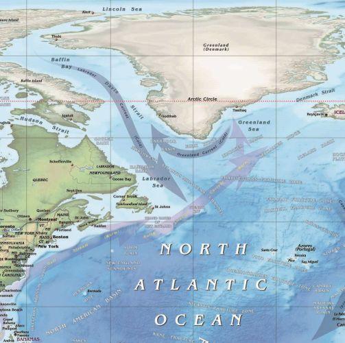
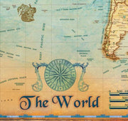
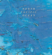
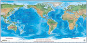
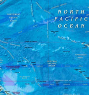
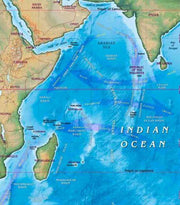
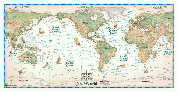
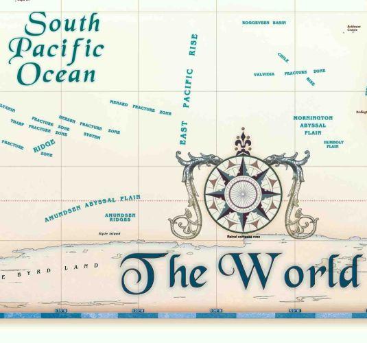
Ocean Map of the World
World08
Regular price
$69.95
0 in stock
Bathymetry and currents
Physical Terrain
Ocean Relief
Beautifully illustrated with subtle earth tone hues, the detail is highly legible with country borders clearly defined. In classic Atlas style, this map can be used for general reference, to track current events, or as a piece of art. Decorators will find the color scheme works beautifully with most furniture and trim.
This map comes rolled and ships in a sturdy cardboard tube,
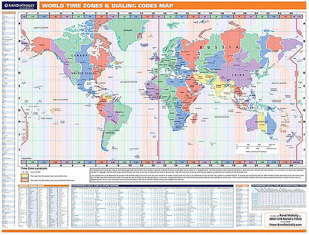
World Time Zone Map by Rand McNally
WORLD12
Regular price
$229.00
0 in stock
Laminated with hanging rails
60" W x 46" H
Time Zone map of world
Full index of countries and major cities
Calling Code Map
This Time Zone and Global Calling Code Map is ideal for use as a business analysis tool. This map has an index for each country and major global cities, a country by country index of calling codes and a handy chart for determining the local time in various countries and cities relative to the U.S.
Comes laminated with hanging rails
Due to its size this map ships UPS and has a fixed shipping cost of $25.00.
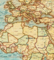
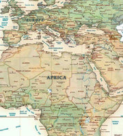
World Antique-Look Wall Map by Kappa Map Group
WORLD10
Regular price
$229.00
0 in stock
Laminated with hanging rails
72" W x 55" H
International Borders
Europe Centered
Antique look
The Antique-Look World Wall Map looks like a valuable old museum piece, yet depicts the world of the 21st century. Europe-centered, this world map is printed on parchment look paper with graphics and coloration reminiscent of the finest antique cartography.
This map measure 72" W x 55" H, has a laminated surface which is both markable and washable and it also comes with hanging rails. A beautiful addition to any home or office.
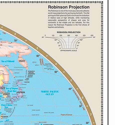
World Large Scale Wall Map by Kappa Map Group
WORLD11
Regular price
$229.00
-1 in stock
Laminated with hanging rails
74" W x 53" H
International Borders
Europe Centered
Country Flags
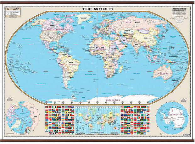
The Robinson Projection Wall Map of the World by Kappa Map Group is laminated, measures 74 by 53 inches, provides color-coded countries, major and capital cities, major water features, national flags, country names, state boundaries, longitude/latitude lines, and international time zones. Comes laminated with hanging rails.
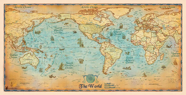
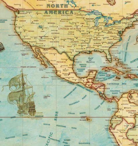
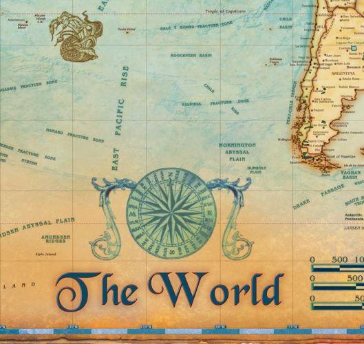
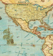
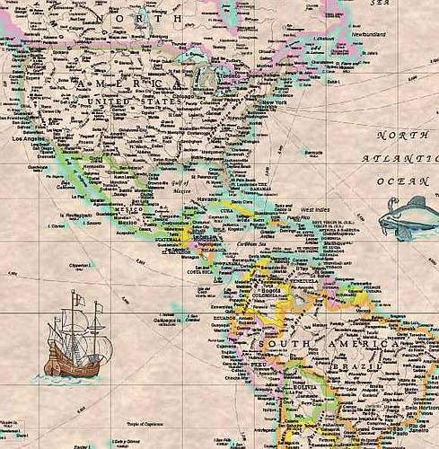
Legacy World Wall Map by Compart Maps
WORLD06
Regular price
$69.95
0 in stock
National Borders
International Capitals
Ocean Relief
Introducing Compart Maps Colorful Legacy World USA Centered Wall Map. Beautifully illustrated with subtle antique parchment and earth tone hues, the detail is highly legible with country borders clearly defined. In classic Antique Atlas style, this map can be used for general reference, to track current events, or as a piece of art. Decorators will find the color scheme works beautifully with dark wood furniture and trim.
This map comes rolled and ships in a sturdy cardboard tube.