


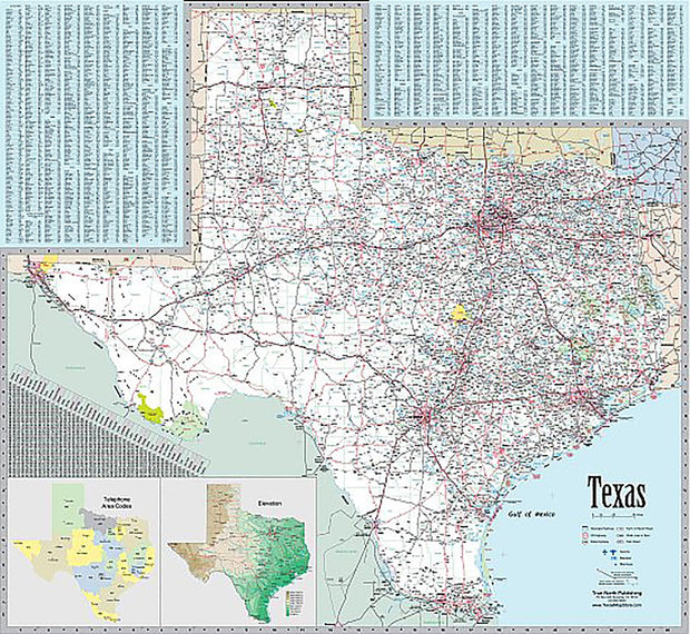

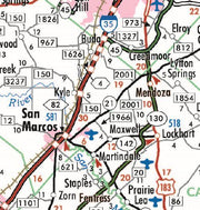
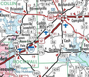


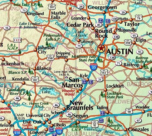


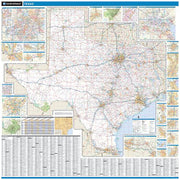


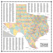

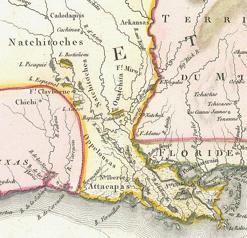
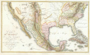


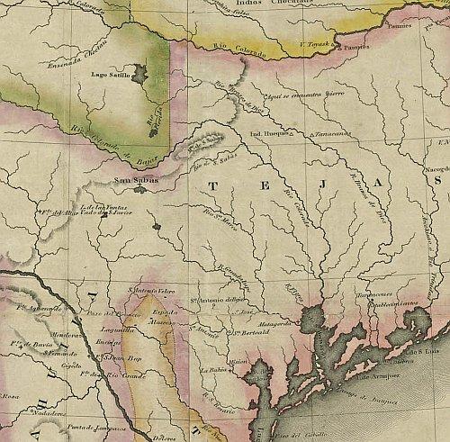
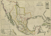


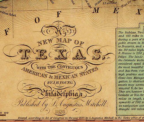


Shop popular Texas Fishing maps by Lake or Reservoir
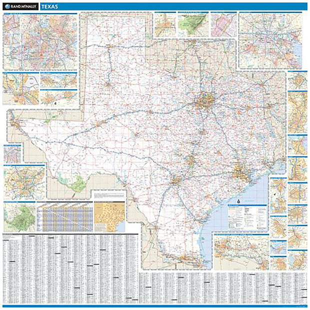
Great quality map!
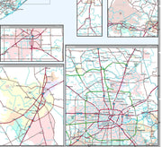
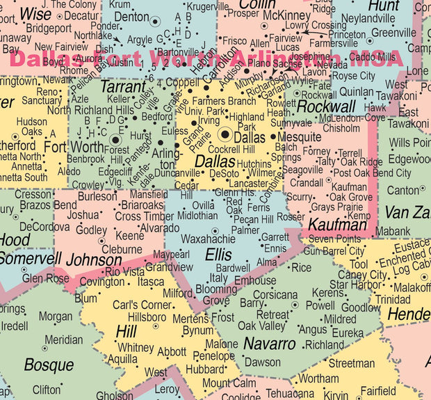
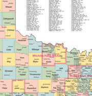
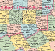
Exactly what I needed for our emergency preparedness. Perfect way to navigate North Texas.
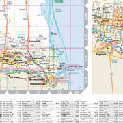
I bought this map so I could locate myself with Latitude and Longitude on Cedar Creek Lake, since I row a v-hull sculling rowboat out into the middle of the lake near Deer Island and Enchanted Oaks Island, and tend to get disoriented without such a map. I bought the laminated version so it would not be ruined by water, and keep it folded to my location in my sculling kit bag brought along. A good map like this of Cedar Creek was hard to find, but this "one fills the bill."
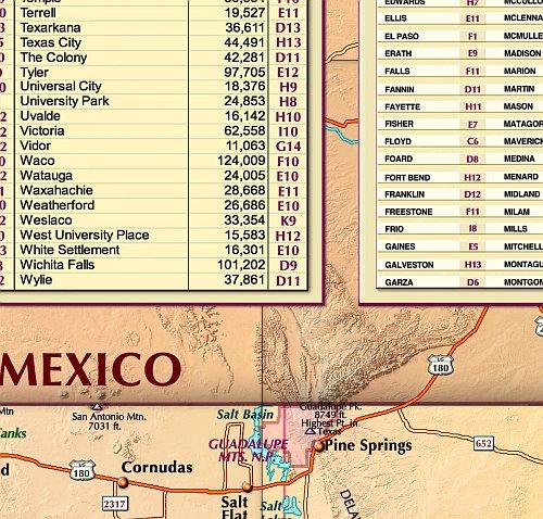
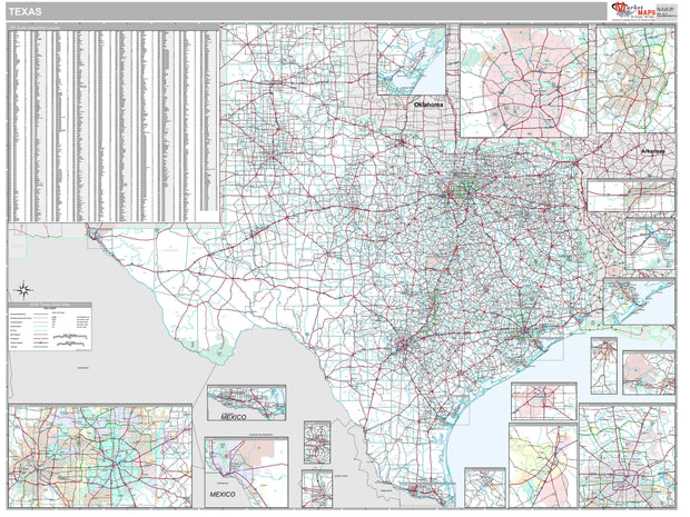
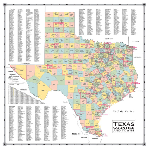
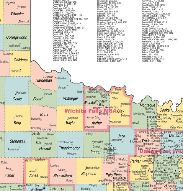
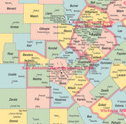
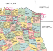
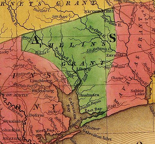
Counties are clearly defined and marked, easy to read.
Very helpful
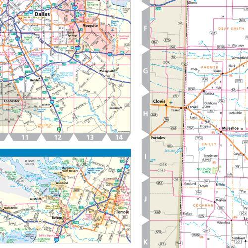
I need a detailed map of Morten's Point Resort


