


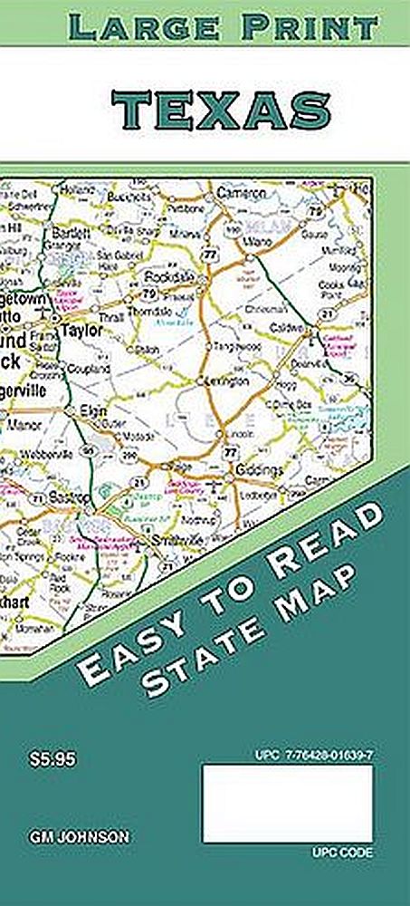

Texas Large Print by GM Johnson
TEXAS19
Regular price
$14.95
![User picture]()
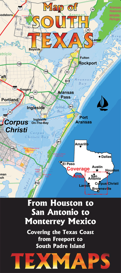
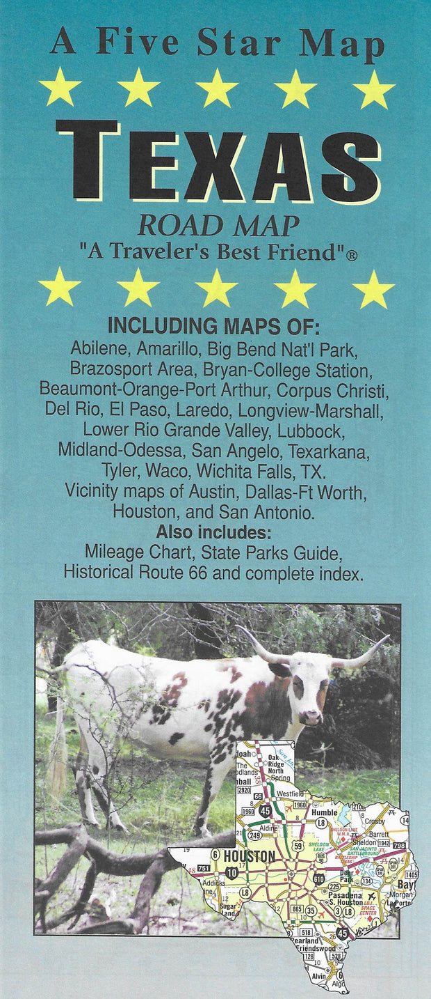
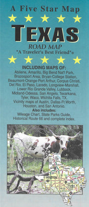
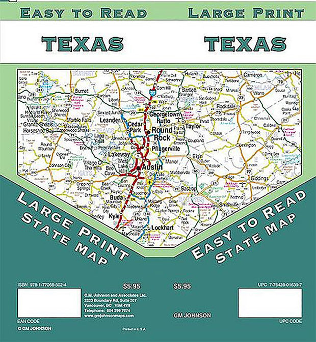
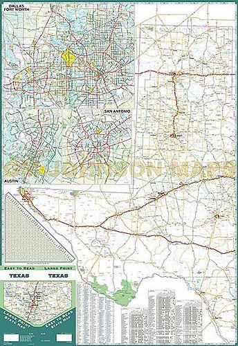
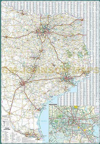
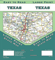
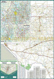
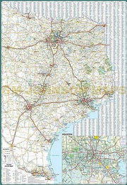
The Texas fold map by GM Johnson is a full-color large print state map, including insets of: Austin, Dallas/Fort Worth, Houston and San Antonio. Features: Airports, detailed Parks and Places of Interest, a Mileage Chart, and Parks and Rec Areas.
Customer Reviews
Based on 2 reviews
100%
(2)
0%
(0)
0%
(0)
0%
(0)
0%
(0)
A
Appreciate being able to read this map! So helpful for our aging eyes. Purchased also as gift for friend.
c
Exactly as described!