Products
- View all
- Abilene Wall Maps
- Amarillo Wall Maps
- Austin Wall Maps
- Birding Maps
- City/ County Folded Maps
- City/ County Street Guide
- City/County Street Maps. City/County Street Maps: Addison
- City/County Street Maps. City/County Street Maps: Alice
- City/County Street Maps. City/County Street Maps: Alvin
- City/County Street Maps. City/County Street Maps: Amarillo
- City/County Street Maps. City/County Street Maps: Arlington
- City/County Street Maps. City/County Street Maps: Austin
- City/County Street Maps. City/County Street Maps: Bandera
- City/County Street Maps. City/County Street Maps: Bay City
- City/County Street Maps. City/County Street Maps: Baytown
- City/County Street Maps. City/County Street Maps: Beaumont
- City/County Street Maps. City/County Street Maps: Belton
- City/County Street Maps. City/County Street Maps: Big Spring
- City/County Street Maps. City/County Street Maps: Brazoria Co./Brazosport
- City/County Street Maps. City/County Street Maps: Brownsville
- City/County Street Maps. City/County Street Maps: Brownwood
- City/County Street Maps. City/County Street Maps: Bryan
- City/County Street Maps. City/County Street Maps: Burkburnett
- City/County Street Maps. City/County Street Maps: Carrollton
- City/County Street Maps. City/County Street Maps: College Station
- City/County Street Maps. City/County Street Maps: Comal County
- City/County Street Maps. City/County Street Maps: Conroe
- City/County Street Maps. City/County Street Maps: Copperas Cove
- City/County Street Maps. City/County Street Maps: Corpus Christi
- City/County Street Maps. City/County Street Maps: Dallas
- City/County Street Maps. City/County Street Maps: Del Rio
- City/County Street Maps. City/County Street Maps: Denton
- City/County Street Maps. City/County Street Maps: Eagle Pass
- City/County Street Maps. City/County Street Maps: El Paso
- City/County Street Maps. City/County Street Maps: Farmers Branch
- City/County Street Maps. City/County Street Maps: Fort Bend County
- City/County Street Maps. City/County Street Maps: Fort Hood
- City/County Street Maps. City/County Street Maps: Fort Worth
- City/County Street Maps. City/County Street Maps: Fredericksburg
- City/County Street Maps. City/County Street Maps: Galveston
- City/County Street Maps. City/County Street Maps: Georgetown
- City/County Street Maps. City/County Street Maps: Golden Triangle
- City/County Street Maps. City/County Street Maps: Grand Prairie
- City/County Street Maps. City/County Street Maps: Greenville
- City/County Street Maps. City/County Street Maps: Guadalupe County
- City/County Street Maps. City/County Street Maps: Harker Heights
- City/County Street Maps. City/County Street Maps: Harlingen
- City/County Street Maps. City/County Street Maps: Houston
- City/County Street Maps. City/County Street Maps: Humble
- City/County Street Maps. City/County Street Maps: Irving
- City/County Street Maps. City/County Street Maps: Kerrville
- City/County Street Maps. City/County Street Maps: Kilgore
- City/County Street Maps. City/County Street Maps: Killeen
- City/County Street Maps. City/County Street Maps: La Porte
- City/County Street Maps. City/County Street Maps: Lamar County
- City/County Street Maps. City/County Street Maps: Laredo
- City/County Street Maps. City/County Street Maps: Longview
- City/County Street Maps. City/County Street Maps: Lufkin
- City/County Street Maps. City/County Street Maps: Manvel
- City/County Street Maps. City/County Street Maps: Montgomery County
- City/County Street Maps. City/County Street Maps: Mt. Pleasant
- City/County Street Maps. City/County Street Maps: Nacogdoches City/County
- City/County Street Maps. City/County Street Maps: New Braunfels
- City/County Street Maps. City/County Street Maps: Orange
- City/County Street Maps. City/County Street Maps: Paris
- City/County Street Maps. City/County Street Maps: Pasadena
- City/County Street Maps. City/County Street Maps: Port Arthur
- City/County Street Maps. City/County Street Maps: Port Lavaca
- City/County Street Maps. City/County Street Maps: Richmond
- City/County Street Maps. City/County Street Maps: Rockport
- City/County Street Maps. City/County Street Maps: Rosenberg
- City/County Street Maps. City/County Street Maps: Round Rock
- City/County Street Maps. City/County Street Maps: San Angelo
- City/County Street Maps. City/County Street Maps: San Antonio
- City/County Street Maps. City/County Street Maps: San Benito
- City/County Street Maps. City/County Street Maps: San Marcos
- City/County Street Maps. City/County Street Maps: Seguin
- City/County Street Maps. City/County Street Maps: Smith County
- City/County Street Maps. City/County Street Maps: South Padre Island
- City/County Street Maps. City/County Street Maps: Sulphur Springs
- City/County Street Maps. City/County Street Maps: Temple
- City/County Street Maps. City/County Street Maps: Texas City
- City/County Street Maps. City/County Street Maps: Texas Hill Country
- City/County Street Maps. City/County Street Maps: The Woodlands
- City/County Street Maps. City/County Street Maps: Tyler
- City/County Street Maps. City/County Street Maps: Victoria
- City/County Street Maps. City/County Street Maps: Waco
- City/County Street Maps. City/County Street Maps: Wichita Falls
- Compart. Compart: Wall Maps
- Decorative Maps
- DFW Wall Maps
- Earth Sciences
- Educational Maps
- El Paso Wall Maps
- Fishing Maps. Fishing Maps: Amistad Reservoir
- Fishing Maps. Fishing Maps: Bardwell Lake
- Fishing Maps. Fishing Maps: Belton Lake
- Fishing Maps. Fishing Maps: Benbrook Lake
- Fishing Maps. Fishing Maps: Brady Creek Reservoir
- Fishing Maps. Fishing Maps: Braunig Lake
- Fishing Maps. Fishing Maps: Caddo Lake
- Fishing Maps. Fishing Maps: Calaveras Lake
- Fishing Maps. Fishing Maps: Canyon Lake
- Fishing Maps. Fishing Maps: Cedar Creek Reservoir
- Fishing Maps. Fishing Maps: Choke Canyon Reservoir
- Fishing Maps. Fishing Maps: E.V. Spence Reservoir
- Fishing Maps. Fishing Maps: Eagle Mountain Lake
- Fishing Maps. Fishing Maps: Falcon Reservoir
- Fishing Maps. Fishing Maps: Fayette County Reservoir
- Fishing Maps. Fishing Maps: Gibbons Creek Reservoir
- Fishing Maps. Fishing Maps: Granger Lake
- Fishing Maps. Fishing Maps: Grapevine Lake
- Fishing Maps. Fishing Maps: Inks Lake
- Fishing Maps. Fishing Maps: Lake Arrowhead
- Fishing Maps. Fishing Maps: Lake Buchanan
- Fishing Maps. Fishing Maps: Lake Cisco
- Fishing Maps. Fishing Maps: Lake Clyde
- Fishing Maps. Fishing Maps: Lake Coleman
- Fishing Maps. Fishing Maps: Lake Conroe
- Fishing Maps. Fishing Maps: Lake Dunlap
- Fishing Maps. Fishing Maps: Lake Fork
- Fishing Maps. Fishing Maps: Lake Houston
- Fishing Maps. Fishing Maps: Lake J.B. Thomas
- Fishing Maps. Fishing Maps: Lake Jacksonville
- Fishing Maps. Fishing Maps: Lake Kemp
- Fishing Maps. Fishing Maps: Lake Kickapoo
- Fishing Maps. Fishing Maps: Lake Lavon
- Fishing Maps. Fishing Maps: Lake Leon
- Fishing Maps. Fishing Maps: Lake Lewisville
- Fishing Maps. Fishing Maps: Lake Livingston
- Fishing Maps. Fishing Maps: Lake Lyndon B. Johnson
- Fishing Maps. Fishing Maps: Lake Marble Falls
- Fishing Maps. Fishing Maps: Lake McQueeney
- Fishing Maps. Fishing Maps: Lake Nacogdoches
- Fishing Maps. Fishing Maps: Lake O' the Pines
- Fishing Maps. Fishing Maps: Lake Palestine
- Fishing Maps. Fishing Maps: Lake Quitman
- Fishing Maps. Fishing Maps: Lake Ray Hubbard
- Fishing Maps. Fishing Maps: Lake Striker
- Fishing Maps. Fishing Maps: Lake Tawakoni
- Fishing Maps. Fishing Maps: Lake Texoma
- Fishing Maps. Fishing Maps: Lake Travis
- Fishing Maps. Fishing Maps: Lake Tyler
- Fishing Maps. Fishing Maps: Lake Waco
- Fishing Maps. Fishing Maps: Lake Whitney
- Fishing Maps. Fishing Maps: Lake Winnsboro
- Fishing Maps. Fishing Maps: Navarro Mills Lake
- Fishing Maps. Fishing Maps: O.H. Ivie Reservoir
- Fishing Maps. Fishing Maps: Pat Mayse Lake
- Fishing Maps. Fishing Maps: Proctor Lake
- Fishing Maps. Fishing Maps: Ray Roberts Lake
- Fishing Maps. Fishing Maps: Richland-Chambers Res.
- Fishing Maps. Fishing Maps: Sam Rayburn Reservoir
- Fishing Maps. Fishing Maps: Stillhouse Hollow Res.
- Fishing Maps. Fishing Maps: Toledo Bend Reservoir
- Fishing Maps. Fishing Maps: Tradinghouse Creek Res.
- Fishing Maps. Fishing Maps: Wright Patman Lake
- Gift Certificates
- Gift Ideas
- Gift Ideas-1
- Golden Triangle
- Historical County Maps. Historical County Maps: Anderson Co
- Historical County Maps. Historical County Maps: Andrews Co
- Historical County Maps. Historical County Maps: Angelina Co
- Historical County Maps. Historical County Maps: Archer Co
- Historical County Maps. Historical County Maps: Armstrong Co
- Historical County Maps. Historical County Maps: Atascosa Co
- Historical County Maps. Historical County Maps: Austin Co
- Historical County Maps. Historical County Maps: Bailey Co
- Historical County Maps. Historical County Maps: Bandera Co
- Historical County Maps. Historical County Maps: Bastrop Co
- Historical County Maps. Historical County Maps: Baylor Co
- Historical County Maps. Historical County Maps: Bee Co
- Historical County Maps. Historical County Maps: Bell Co
- Historical County Maps. Historical County Maps: Bexar Co
- Historical County Maps. Historical County Maps: Blanco Co
- Historical County Maps. Historical County Maps: Borden Co
- Historical County Maps. Historical County Maps: Bosque Co
- Historical County Maps. Historical County Maps: Bowie Co
- Historical County Maps. Historical County Maps: Brazoria Co
- Historical County Maps. Historical County Maps: Brazos Co
- Historical County Maps. Historical County Maps: Brewster Co
- Historical County Maps. Historical County Maps: Briscoe Co
- Historical County Maps. Historical County Maps: Brooks Co
- Historical County Maps. Historical County Maps: Brown Co
- Historical County Maps. Historical County Maps: Burleson Co
- Historical County Maps. Historical County Maps: Burnet Co
- Historical County Maps. Historical County Maps: Caldwell Co
- Historical County Maps. Historical County Maps: Calhoun Co
- Historical County Maps. Historical County Maps: Callahan Co
- Historical County Maps. Historical County Maps: Cameron Co
- Historical County Maps. Historical County Maps: Camp Co
- Historical County Maps. Historical County Maps: Carson Co
- Historical County Maps. Historical County Maps: Cass Co
- Historical County Maps. Historical County Maps: Castro Co
- Historical County Maps. Historical County Maps: Chambers Co
- Historical County Maps. Historical County Maps: Cherokee Co
- Historical County Maps. Historical County Maps: Childress Co
- Historical County Maps. Historical County Maps: Clay Co
- Historical County Maps. Historical County Maps: Cochran Co
- Historical County Maps. Historical County Maps: Coke Co
- Historical County Maps. Historical County Maps: Coleman Co
- Historical County Maps. Historical County Maps: Collin Co
- Historical County Maps. Historical County Maps: Collingsworth Co
- Historical County Maps. Historical County Maps: Colorado Co
- Historical County Maps. Historical County Maps: Comal Co
- Historical County Maps. Historical County Maps: Comanche Co
- Historical County Maps. Historical County Maps: Concho Co
- Historical County Maps. Historical County Maps: Cooke Co
- Historical County Maps. Historical County Maps: Coryell Co
- Historical County Maps. Historical County Maps: Cottle Co
- Historical County Maps. Historical County Maps: Crane Co
- Historical County Maps. Historical County Maps: Crockett Co
- Historical County Maps. Historical County Maps: Crosby Co
- Historical County Maps. Historical County Maps: Culberson Co
- Historical County Maps. Historical County Maps: Dallam Co
- Historical County Maps. Historical County Maps: Dallas Co
- Historical County Maps. Historical County Maps: Dawson Co
- Historical County Maps. Historical County Maps: Deaf Smith Co
- Historical County Maps. Historical County Maps: Delta Co
- Historical County Maps. Historical County Maps: Denton Co
- Historical County Maps. Historical County Maps: DeWitt Co
- Historical County Maps. Historical County Maps: Dickens Co
- Historical County Maps. Historical County Maps: Dimmit Co
- Historical County Maps. Historical County Maps: Donley Co
- Historical County Maps. Historical County Maps: Duval Co
- Historical County Maps. Historical County Maps: Eastland Co
- Historical County Maps. Historical County Maps: Ector Co
- Historical County Maps. Historical County Maps: Edwards Co
- Historical County Maps. Historical County Maps: El Paso Co
- Historical County Maps. Historical County Maps: Ellis Co
- Historical County Maps. Historical County Maps: Erath Co
- Historical County Maps. Historical County Maps: Falls Co
- Historical County Maps. Historical County Maps: Fannin Co
- Historical County Maps. Historical County Maps: Fayette Co
- Historical County Maps. Historical County Maps: Fisher Co
- Historical County Maps. Historical County Maps: Floyd Co
- Historical County Maps. Historical County Maps: Foard Co
- Historical County Maps. Historical County Maps: Fort Bend Co
- Historical County Maps. Historical County Maps: Franklin Co
- Historical County Maps. Historical County Maps: Freestone Co
- Historical County Maps. Historical County Maps: Frio Co
- Historical County Maps. Historical County Maps: Gaines Co
- Historical County Maps. Historical County Maps: Galveston Co
- Historical County Maps. Historical County Maps: Garza Co
- Historical County Maps. Historical County Maps: Gillespie Co
- Historical County Maps. Historical County Maps: Glasscock Co
- Historical County Maps. Historical County Maps: Goliad Co
- Historical County Maps. Historical County Maps: Gonzales Co
- Historical County Maps. Historical County Maps: Gray Co
- Historical County Maps. Historical County Maps: Grayson Co
- Historical County Maps. Historical County Maps: Gregg Co
- Historical County Maps. Historical County Maps: Grimes Co
- Historical County Maps. Historical County Maps: Guadalupe Co
- Historical County Maps. Historical County Maps: Hale Co
- Historical County Maps. Historical County Maps: Hall Co
- Historical County Maps. Historical County Maps: Hamilton Co
- Historical County Maps. Historical County Maps: Hansford Co
- Historical County Maps. Historical County Maps: Hardeman Co
- Historical County Maps. Historical County Maps: Hardin Co
- Historical County Maps. Historical County Maps: Harris Co
- Historical County Maps. Historical County Maps: Harrison Co
- Historical County Maps. Historical County Maps: Hartley Co
- Historical County Maps. Historical County Maps: Haskell Co
- Historical County Maps. Historical County Maps: Hays Co
- Historical County Maps. Historical County Maps: Hemphill Co
- Historical County Maps. Historical County Maps: Henderson Co
- Historical County Maps. Historical County Maps: Hidalgo Co
- Historical County Maps. Historical County Maps: Hill Co
- Historical County Maps. Historical County Maps: Hockley Co
- Historical County Maps. Historical County Maps: Hood Co
- Historical County Maps. Historical County Maps: Hopkins Co
- Historical County Maps. Historical County Maps: Houston Co
- Historical County Maps. Historical County Maps: Howard Co
- Historical County Maps. Historical County Maps: Hudspeth Co
- Historical County Maps. Historical County Maps: Hunt Co
- Historical County Maps. Historical County Maps: Hutchinson Co
- Historical County Maps. Historical County Maps: Irion Co
- Historical County Maps. Historical County Maps: Jack Co
- Historical County Maps. Historical County Maps: Jackson Co
- Historical County Maps. Historical County Maps: Jasper Co
- Historical County Maps. Historical County Maps: Jeff Davis Co
- Historical County Maps. Historical County Maps: Jefferson Co
- Historical County Maps. Historical County Maps: Jim Hogg Co
- Historical County Maps. Historical County Maps: Jim Wells Co
- Historical County Maps. Historical County Maps: Johnson Co
- Historical County Maps. Historical County Maps: Jones Co
- Historical County Maps. Historical County Maps: Karnes Co
- Historical County Maps. Historical County Maps: Kaufman Co
- Historical County Maps. Historical County Maps: Kendall Co
- Historical County Maps. Historical County Maps: Kenedy Co
- Historical County Maps. Historical County Maps: Kerr Co
- Historical County Maps. Historical County Maps: Kimble Co
- Historical County Maps. Historical County Maps: King Co
- Historical County Maps. Historical County Maps: Kinney Co
- Historical County Maps. Historical County Maps: Kleberg Co
- Historical County Maps. Historical County Maps: Knox Co
- Historical County Maps. Historical County Maps: La Salle Co
- Historical County Maps. Historical County Maps: Lamar Co
- Historical County Maps. Historical County Maps: Lamb Co
- Historical County Maps. Historical County Maps: Lampasas Co
- Historical County Maps. Historical County Maps: Lavaca Co
- Historical County Maps. Historical County Maps: Lee Co
- Historical County Maps. Historical County Maps: Leon Co
- Historical County Maps. Historical County Maps: Liberty Co
- Historical County Maps. Historical County Maps: Limestone Co
- Historical County Maps. Historical County Maps: Lipscomb Co
- Historical County Maps. Historical County Maps: Live Oak Co
- Historical County Maps. Historical County Maps: Llano Co
- Historical County Maps. Historical County Maps: Loving Co
- Historical County Maps. Historical County Maps: Lubbock Co
- Historical County Maps. Historical County Maps: Lynn Co
- Historical County Maps. Historical County Maps: Madison Co
- Historical County Maps. Historical County Maps: Marion Co
- Historical County Maps. Historical County Maps: Martin Co
- Historical County Maps. Historical County Maps: Mason Co
- Historical County Maps. Historical County Maps: Matagorda Co
- Historical County Maps. Historical County Maps: Maverick Co
- Historical County Maps. Historical County Maps: McCulloch Co
- Historical County Maps. Historical County Maps: McLennan Co
- Historical County Maps. Historical County Maps: McMullen Co
- Historical County Maps. Historical County Maps: Medina Co
- Historical County Maps. Historical County Maps: Menard Co
- Historical County Maps. Historical County Maps: Midland Co
- Historical County Maps. Historical County Maps: Milam Co
- Historical County Maps. Historical County Maps: Mills Co
- Historical County Maps. Historical County Maps: Mitchell Co
- Historical County Maps. Historical County Maps: Montague Co
- Historical County Maps. Historical County Maps: Montgomery Co
- Historical County Maps. Historical County Maps: Moore Co
- Historical County Maps. Historical County Maps: Morris Co
- Historical County Maps. Historical County Maps: Motley Co
- Historical County Maps. Historical County Maps: Nacogdoches Co
- Historical County Maps. Historical County Maps: Navarro Co
- Historical County Maps. Historical County Maps: Newton Co
- Historical County Maps. Historical County Maps: Nolan Co
- Historical County Maps. Historical County Maps: Nueces Co
- Historical County Maps. Historical County Maps: Ochiltree Co
- Historical County Maps. Historical County Maps: Oldham Co
- Historical County Maps. Historical County Maps: Orange Co
- Historical County Maps. Historical County Maps: Palo Pinto Co
- Historical County Maps. Historical County Maps: Panola Co
- Historical County Maps. Historical County Maps: Parker Co
- Historical County Maps. Historical County Maps: Parmer Co
- Historical County Maps. Historical County Maps: Pecos Co
- Historical County Maps. Historical County Maps: Polk Co
- Historical County Maps. Historical County Maps: Potter Co
- Historical County Maps. Historical County Maps: Presidio Co
- Historical County Maps. Historical County Maps: Rains Co
- Historical County Maps. Historical County Maps: Randall Co
- Historical County Maps. Historical County Maps: Reagan Co
- Historical County Maps. Historical County Maps: Real Co
- Historical County Maps. Historical County Maps: Red River Co
- Historical County Maps. Historical County Maps: Reeves Co
- Historical County Maps. Historical County Maps: Refugio Co
- Historical County Maps. Historical County Maps: Roberts Co
- Historical County Maps. Historical County Maps: Robertson Co
- Historical County Maps. Historical County Maps: Rockwall Co
- Historical County Maps. Historical County Maps: Runnels Co
- Historical County Maps. Historical County Maps: Rusk Co
- Historical County Maps. Historical County Maps: Sabine Co
- Historical County Maps. Historical County Maps: San Augustine Co
- Historical County Maps. Historical County Maps: San Jacinto Co
- Historical County Maps. Historical County Maps: San Patricio Co
- Historical County Maps. Historical County Maps: San Saba Co
- Historical County Maps. Historical County Maps: Schleicher Co
- Historical County Maps. Historical County Maps: Scurry Co
- Historical County Maps. Historical County Maps: Shackelford Co
- Historical County Maps. Historical County Maps: Shelby Co
- Historical County Maps. Historical County Maps: Sherman Co
- Historical County Maps. Historical County Maps: Smith Co
- Historical County Maps. Historical County Maps: Somervell Co
- Historical County Maps. Historical County Maps: Starr Co
- Historical County Maps. Historical County Maps: Stephens Co
- Historical County Maps. Historical County Maps: Sterling Co
- Historical County Maps. Historical County Maps: Stonewall Co
- Historical County Maps. Historical County Maps: Sutton Co
- Historical County Maps. Historical County Maps: Swisher Co
- Historical County Maps. Historical County Maps: Tarrant Co
- Historical County Maps. Historical County Maps: Taylor Co
- Historical County Maps. Historical County Maps: Terrell Co
- Historical County Maps. Historical County Maps: Terry Co
- Historical County Maps. Historical County Maps: Throckmorton Co
- Historical County Maps. Historical County Maps: Titus Co
- Historical County Maps. Historical County Maps: Tom Green Co
- Historical County Maps. Historical County Maps: Travis Co
- Historical County Maps. Historical County Maps: Trinity Co
- Historical County Maps. Historical County Maps: Tyler Co
- Historical County Maps. Historical County Maps: Upshur Co
- Historical County Maps. Historical County Maps: Upton Co
- Historical County Maps. Historical County Maps: Uvalde Co
- Historical County Maps. Historical County Maps: Val Verde Co
- Historical County Maps. Historical County Maps: Van Zandt Co
- Historical County Maps. Historical County Maps: Victoria Co
- Historical County Maps. Historical County Maps: Walker Co
- Historical County Maps. Historical County Maps: Waller Co
- Historical County Maps. Historical County Maps: Ward Co
- Historical County Maps. Historical County Maps: Washington Co
- Historical County Maps. Historical County Maps: Webb Co
- Historical County Maps. Historical County Maps: Wharton Co
- Historical County Maps. Historical County Maps: Wheeler Co
- Historical County Maps. Historical County Maps: Wichita Co
- Historical County Maps. Historical County Maps: Wilbarger Co
- Historical County Maps. Historical County Maps: Willacy Co
- Historical County Maps. Historical County Maps: Williamson Co
- Historical County Maps. Historical County Maps: Wilson Co
- Historical County Maps. Historical County Maps: Winkler Co
- Historical County Maps. Historical County Maps: Wise Co
- Historical County Maps. Historical County Maps: Wood Co
- Historical County Maps. Historical County Maps: Yoakum Co
- Historical County Maps. Historical County Maps: Young Co
- Historical County Maps. Historical County Maps: Zapata Co
- Historical County Maps. Historical County Maps: Zavala Co
- Houston Wall Maps
- Key Maps. Key Maps: Atlases
- Key Maps. Key Maps: Wall Maps
- lamar-co-1
- Mapsco. Mapsco: Folded Maps
- Other States. Other States: Alabama
- Other States. Other States: California
- Other States. Other States: California-1
- Other States. Other States: Colorado
- Other States. Other States: Florida
- Other States. Other States: Georgia
- Other States. Other States: Illinois
- Other States. Other States: Indiana
- Other States. Other States: Kentucky
- Other States. Other States: Maryland
- Other States. Other States: Massachusetts
- Other States. Other States: Montana
- Other States. Other States: New Hampshire
- Other States. Other States: New York
- Other States. Other States: Ohio
- Other States. Other States: Pennsylvania
- Other States. Other States: Tennessee
- Other States. Other States: Vermont
- Other States. Other States: Virginia
- Other States. Other States: Washington D.C.
- Rand McNally. Rand McNally: Folded Maps
- San Antonio Wall Maps
- Texas City Wall Maps: Austin
- Texas Historical Maps
- Texas Historical Maps. Texas Historical Maps: Maps of Texas Frontier
- Texas Road Maps
- Texas Road Maps. Texas Road Maps: Texas Folded Maps
- Texas Road Maps. Texas Road Maps: Texas Road Atlases
- Texas Topographic Maps. Texas Topographic Maps: Anderson Co
- Texas Topographic Maps. Texas Topographic Maps: Angelina Co
- Texas Topographic Maps. Texas Topographic Maps: Aransas Co
- Texas Topographic Maps. Texas Topographic Maps: Archer Co
- Texas Topographic Maps. Texas Topographic Maps: Atascosa Co
- Texas Topographic Maps. Texas Topographic Maps: Austin Co
- Texas Topographic Maps. Texas Topographic Maps: Bandera Co
- Texas Topographic Maps. Texas Topographic Maps: Bastrop Co
- Texas Topographic Maps. Texas Topographic Maps: Bee Co
- Texas Topographic Maps. Texas Topographic Maps: Bell Co
- Texas Topographic Maps. Texas Topographic Maps: Bexar Co
- Texas Topographic Maps. Texas Topographic Maps: Blanco Co
- Texas Topographic Maps. Texas Topographic Maps: Bosque Co
- Texas Topographic Maps. Texas Topographic Maps: Bowie Co
- Texas Topographic Maps. Texas Topographic Maps: Brazoria Co
- Texas Topographic Maps. Texas Topographic Maps: Brazos Co
- Texas Topographic Maps. Texas Topographic Maps: Brewster Co
- Texas Topographic Maps. Texas Topographic Maps: Brooks Co
- Texas Topographic Maps. Texas Topographic Maps: Brown Co
- Texas Topographic Maps. Texas Topographic Maps: Burleson Co
- Texas Topographic Maps. Texas Topographic Maps: Burnet Co
- Texas Topographic Maps. Texas Topographic Maps: Caldwell Co
- Texas Topographic Maps. Texas Topographic Maps: Calhoun Co
- Texas Topographic Maps. Texas Topographic Maps: Callahan Co
- Texas Topographic Maps. Texas Topographic Maps: Cameron Co
- Texas Topographic Maps. Texas Topographic Maps: Carson Co
- Texas Topographic Maps. Texas Topographic Maps: Cass Co
- Texas Topographic Maps. Texas Topographic Maps: Chambers Co
- Texas Topographic Maps. Texas Topographic Maps: Cherokee Co
- Texas Topographic Maps. Texas Topographic Maps: Clay Co
- Texas Topographic Maps. Texas Topographic Maps: Coke Co
- Texas Topographic Maps. Texas Topographic Maps: Coleman Co
- Texas Topographic Maps. Texas Topographic Maps: Collin Co
- Texas Topographic Maps. Texas Topographic Maps: Colorado Co
- Texas Topographic Maps. Texas Topographic Maps: Comal Co
- Texas Topographic Maps. Texas Topographic Maps: Comanche Co
- Texas Topographic Maps. Texas Topographic Maps: Concho Co
- Texas Topographic Maps. Texas Topographic Maps: Cooke Co
- Texas Topographic Maps. Texas Topographic Maps: Coryell Co
- Texas Topographic Maps. Texas Topographic Maps: Crane Co
- Texas Topographic Maps. Texas Topographic Maps: Crockett Co
- Texas Topographic Maps. Texas Topographic Maps: Culberson Co
- Texas Topographic Maps. Texas Topographic Maps: Current Topographic Maps
- Texas Topographic Maps. Texas Topographic Maps: Dallas Co
- Texas Topographic Maps. Texas Topographic Maps: Denton Co
- Texas Topographic Maps. Texas Topographic Maps: DeWitt Co
- Texas Topographic Maps. Texas Topographic Maps: Dimmit Co
- Texas Topographic Maps. Texas Topographic Maps: Duval Co
- Texas Topographic Maps. Texas Topographic Maps: Eastland Co
- Texas Topographic Maps. Texas Topographic Maps: Edwards Co
- Texas Topographic Maps. Texas Topographic Maps: El Paso Co
- Texas Topographic Maps. Texas Topographic Maps: Ellis Co
- Texas Topographic Maps. Texas Topographic Maps: Erath Co
- Texas Topographic Maps. Texas Topographic Maps: Falls Co
- Texas Topographic Maps. Texas Topographic Maps: Fayette Co
- Texas Topographic Maps. Texas Topographic Maps: Fisher Co
- Texas Topographic Maps. Texas Topographic Maps: Foard Co
- Texas Topographic Maps. Texas Topographic Maps: Fort Bend Co
- Texas Topographic Maps. Texas Topographic Maps: Freestone Co
- Texas Topographic Maps. Texas Topographic Maps: Frio Co
- Texas Topographic Maps. Texas Topographic Maps: Galveston Co
- Texas Topographic Maps. Texas Topographic Maps: Gillespie Co
- Texas Topographic Maps. Texas Topographic Maps: Glasscock Co
- Texas Topographic Maps. Texas Topographic Maps: Goliad Co
- Texas Topographic Maps. Texas Topographic Maps: Gonzales Co
- Texas Topographic Maps. Texas Topographic Maps: Grayson Co
- Texas Topographic Maps. Texas Topographic Maps: Gregg Co
- Texas Topographic Maps. Texas Topographic Maps: Grimes Co
- Texas Topographic Maps. Texas Topographic Maps: Guadalupe Co
- Texas Topographic Maps. Texas Topographic Maps: Hamilton Co
- Texas Topographic Maps. Texas Topographic Maps: Hardeman Co
- Texas Topographic Maps. Texas Topographic Maps: Hardin Co
- Texas Topographic Maps. Texas Topographic Maps: Harris Co
- Texas Topographic Maps. Texas Topographic Maps: Harrison Co
- Texas Topographic Maps. Texas Topographic Maps: Haskell Co
- Texas Topographic Maps. Texas Topographic Maps: Hays Co
- Texas Topographic Maps. Texas Topographic Maps: Henderson Co
- Texas Topographic Maps. Texas Topographic Maps: Hidalgo Co
- Texas Topographic Maps. Texas Topographic Maps: Hill Co
- Texas Topographic Maps. Texas Topographic Maps: Hood Co
- Texas Topographic Maps. Texas Topographic Maps: Houston Co
- Texas Topographic Maps. Texas Topographic Maps: Howard Co
- Texas Topographic Maps. Texas Topographic Maps: Hudspeth Co
- Texas Topographic Maps. Texas Topographic Maps: Hunt Co
- Texas Topographic Maps. Texas Topographic Maps: Hutchinson Co
- Texas Topographic Maps. Texas Topographic Maps: Irion Co
- Texas Topographic Maps. Texas Topographic Maps: Jack Co
- Texas Topographic Maps. Texas Topographic Maps: Jackson Co
- Texas Topographic Maps. Texas Topographic Maps: Jasper Co
- Texas Topographic Maps. Texas Topographic Maps: Jeff Davis Co
- Texas Topographic Maps. Texas Topographic Maps: Jefferson Co
- Texas Topographic Maps. Texas Topographic Maps: Jim Hogg Co
- Texas Topographic Maps. Texas Topographic Maps: Jim Wells Co
- Texas Topographic Maps. Texas Topographic Maps: Johnson Co
- Texas Topographic Maps. Texas Topographic Maps: Jones Co
- Texas Topographic Maps. Texas Topographic Maps: Karnes Co
- Texas Topographic Maps. Texas Topographic Maps: Kaufman Co
- Texas Topographic Maps. Texas Topographic Maps: Kendall Co
- Texas Topographic Maps. Texas Topographic Maps: Kenedy Co
- Texas Topographic Maps. Texas Topographic Maps: Kent Co
- Texas Topographic Maps. Texas Topographic Maps: Kerr Co
- Texas Topographic Maps. Texas Topographic Maps: Kimble Co
- Texas Topographic Maps. Texas Topographic Maps: Kinney Co
- Texas Topographic Maps. Texas Topographic Maps: Kleberg Co
- Texas Topographic Maps. Texas Topographic Maps: La Salle Co
- Texas Topographic Maps. Texas Topographic Maps: Lampasas Co
- Texas Topographic Maps. Texas Topographic Maps: Lavaca Co
- Texas Topographic Maps. Texas Topographic Maps: Lee Co
- Texas Topographic Maps. Texas Topographic Maps: Leon Co
- Texas Topographic Maps. Texas Topographic Maps: Liberty Co
- Texas Topographic Maps. Texas Topographic Maps: Limestone Co
- Texas Topographic Maps. Texas Topographic Maps: Live Oak Co
- Texas Topographic Maps. Texas Topographic Maps: Llano Co
- Texas Topographic Maps. Texas Topographic Maps: Llano Co-1
- Texas Topographic Maps. Texas Topographic Maps: Loving Co
- Texas Topographic Maps. Texas Topographic Maps: Madison Co
- Texas Topographic Maps. Texas Topographic Maps: Marion Co
- Texas Topographic Maps. Texas Topographic Maps: Martin Co
- Texas Topographic Maps. Texas Topographic Maps: Mason Co
- Texas Topographic Maps. Texas Topographic Maps: Matagorda Co
- Texas Topographic Maps. Texas Topographic Maps: Maverick Co
- Texas Topographic Maps. Texas Topographic Maps: McCulloch Co
- Texas Topographic Maps. Texas Topographic Maps: McLennan Co
- Texas Topographic Maps. Texas Topographic Maps: McMullen Co
- Texas Topographic Maps. Texas Topographic Maps: Medina Co
- Texas Topographic Maps. Texas Topographic Maps: Menard Co
- Texas Topographic Maps. Texas Topographic Maps: Midland Co
- Texas Topographic Maps. Texas Topographic Maps: Milam Co
- Texas Topographic Maps. Texas Topographic Maps: Mills Co
- Texas Topographic Maps. Texas Topographic Maps: Montague Co
- Texas Topographic Maps. Texas Topographic Maps: Moore Co
- Texas Topographic Maps. Texas Topographic Maps: Morris Co
- Texas Topographic Maps. Texas Topographic Maps: Nacogdoches Co
- Texas Topographic Maps. Texas Topographic Maps: Newton Co
- Texas Topographic Maps. Texas Topographic Maps: Nolan Co
- Texas Topographic Maps. Texas Topographic Maps: Nueces Co
- Texas Topographic Maps. Texas Topographic Maps: Orange Co
- Texas Topographic Maps. Texas Topographic Maps: Palo Pinto Co
- Texas Topographic Maps. Texas Topographic Maps: Parker Co
- Texas Topographic Maps. Texas Topographic Maps: Pecos Co
- Texas Topographic Maps. Texas Topographic Maps: Polk Co
- Texas Topographic Maps. Texas Topographic Maps: Potter Co
- Texas Topographic Maps. Texas Topographic Maps: Presidio Co
- Texas Topographic Maps. Texas Topographic Maps: Reagan Co
- Texas Topographic Maps. Texas Topographic Maps: Real Co
- Texas Topographic Maps. Texas Topographic Maps: Red River Co
- Texas Topographic Maps. Texas Topographic Maps: Reeves Co
- Texas Topographic Maps. Texas Topographic Maps: Refugio Co
- Texas Topographic Maps. Texas Topographic Maps: Robertson Co
- Texas Topographic Maps. Texas Topographic Maps: Rockwall Co
- Texas Topographic Maps. Texas Topographic Maps: Runnels Co
- Texas Topographic Maps. Texas Topographic Maps: Rusk Co
- Texas Topographic Maps. Texas Topographic Maps: Sabine Co
- Texas Topographic Maps. Texas Topographic Maps: San Jacinto Co
- Texas Topographic Maps. Texas Topographic Maps: San Particio Co
- Texas Topographic Maps. Texas Topographic Maps: San Saba Co
- Texas Topographic Maps. Texas Topographic Maps: Schleicher Co
- Texas Topographic Maps. Texas Topographic Maps: Shakelford Co
- Texas Topographic Maps. Texas Topographic Maps: Smith Co
- Texas Topographic Maps. Texas Topographic Maps: Somervell Co
- Texas Topographic Maps. Texas Topographic Maps: Starr Co
- Texas Topographic Maps. Texas Topographic Maps: Stephens Co
- Texas Topographic Maps. Texas Topographic Maps: Sterling Co
- Texas Topographic Maps. Texas Topographic Maps: Stonewall Co
- Texas Topographic Maps. Texas Topographic Maps: Sutton Co
- Texas Topographic Maps. Texas Topographic Maps: Tarrant Co
- Texas Topographic Maps. Texas Topographic Maps: Taylor Co
- Texas Topographic Maps. Texas Topographic Maps: Terrell Co
- Texas Topographic Maps. Texas Topographic Maps: Throckmorton Co
- Texas Topographic Maps. Texas Topographic Maps: Tom Green Co
- Texas Topographic Maps. Texas Topographic Maps: Travis Co
- Texas Topographic Maps. Texas Topographic Maps: Tyler Co
- Texas Topographic Maps. Texas Topographic Maps: Upton Co
- Texas Topographic Maps. Texas Topographic Maps: Uvalde Co
- Texas Topographic Maps. Texas Topographic Maps: Val Verde Co
- Texas Topographic Maps. Texas Topographic Maps: Van Zandt Co
- Texas Topographic Maps. Texas Topographic Maps: Victoria Co
- Texas Topographic Maps. Texas Topographic Maps: Waller Co
- Texas Topographic Maps. Texas Topographic Maps: Ward Co
- Texas Topographic Maps. Texas Topographic Maps: Washington Co
- Texas Topographic Maps. Texas Topographic Maps: Webb Co
- Texas Topographic Maps. Texas Topographic Maps: Wharton Co
- Texas Topographic Maps. Texas Topographic Maps: Wichita Co
- Texas Topographic Maps. Texas Topographic Maps: Wilbarger Co
- Texas Topographic Maps. Texas Topographic Maps: Willacy Co
- Texas Topographic Maps. Texas Topographic Maps: Williamson Co
- Texas Topographic Maps. Texas Topographic Maps: Wilson Co
- Texas Topographic Maps. Texas Topographic Maps: Wise Co
- Texas Topographic Maps. Texas Topographic Maps: Young Co
- Texas Topographic Maps. Texas Topographic Maps: Zapata Co
- Texas Topographic Maps. Texas Topographic Maps: Zavala Co
- Texas Wall Maps
- Texmaps. Texmaps: Atlases
- Texmaps. Texmaps: Folded Maps
- TX City / County Maps. TX City / County Maps: Amarillo
- TX City / County Maps. TX City / County Maps: Atascosa Co.
- TX City / County Maps. TX City / County Maps: Austin
- TX City / County Maps. TX City / County Maps: Austin/Travis Co.
- TX City / County Maps. TX City / County Maps: Bee Co.
- TX City / County Maps. TX City / County Maps: Brazoria Co.
- TX City / County Maps. TX City / County Maps: Bryan/College Station
- TX City / County Maps. TX City / County Maps: Calhoun Co.
- TX City / County Maps. TX City / County Maps: Central Texas
- TX City / County Maps. TX City / County Maps: Comal Co.
- TX City / County Maps. TX City / County Maps: Corpus Christi
- TX City / County Maps. TX City / County Maps: Corpus Christi/Nueces Co.
- TX City / County Maps. TX City / County Maps: Dallas/ Ft. Worth & Vicinity
- TX City / County Maps. TX City / County Maps: Dallas/Dallas Co.
- TX City / County Maps. TX City / County Maps: DeWitt Co.
- TX City / County Maps. TX City / County Maps: Dimmit Co.
- TX City / County Maps. TX City / County Maps: Duval Co.
- TX City / County Maps. TX City / County Maps: El Paso-1
- TX City / County Maps. TX City / County Maps: Fort Bend Co.
- TX City / County Maps. TX City / County Maps: Frio Co.
- TX City / County Maps. TX City / County Maps: Galveston
- TX City / County Maps. TX City / County Maps: Galveston/Galveston Co.
- TX City / County Maps. TX City / County Maps: Golden Triangle
- TX City / County Maps. TX City / County Maps: Golden Triangle-1
- TX City / County Maps. TX City / County Maps: Goliad Co.
- TX City / County Maps. TX City / County Maps: Gonzales Co.
- TX City / County Maps. TX City / County Maps: Guadalupe Co.
- TX City / County Maps. TX City / County Maps: Houston
- TX City / County Maps. TX City / County Maps: Houston/Harris Co.
- TX City / County Maps. TX City / County Maps: Jackson Co.
- TX City / County Maps. TX City / County Maps: Jefferson Co.
- TX City / County Maps. TX City / County Maps: Jim Hogg Co.
- TX City / County Maps. TX City / County Maps: Karnes Co.
- TX City / County Maps. TX City / County Maps: La Salle Co.
- TX City / County Maps. TX City / County Maps: Laredo/Webb Co.
- TX City / County Maps. TX City / County Maps: Lavaca Co.
- TX City / County Maps. TX City / County Maps: Live Oak Co.
- TX City / County Maps. TX City / County Maps: Lubbock
- TX City / County Maps. TX City / County Maps: Matagorda Co.
- TX City / County Maps. TX City / County Maps: Maverick Co.
- TX City / County Maps. TX City / County Maps: McMullen Co.
- TX City / County Maps. TX City / County Maps: Midland/ Odessa
- TX City / County Maps. TX City / County Maps: Montgomery Co.
- TX City / County Maps. TX City / County Maps: Orange Co.
- TX City / County Maps. TX City / County Maps: Refugio Co.
- TX City / County Maps. TX City / County Maps: San Antonio
- TX City / County Maps. TX City / County Maps: San Antonio/Bexar Co.
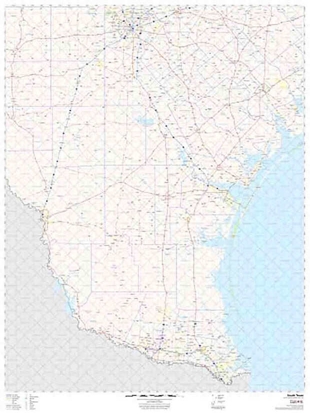
- TX City / County Maps. TX City / County Maps: South Texas
- TX City / County Maps. TX City / County Maps: Victoria Area
- TX City / County Maps. TX City / County Maps: Webb Co.
- TX City / County Maps. TX City / County Maps: Wharton Co.
- TX City / County Maps. TX City / County Maps: Wilson Co.
- TX City / County Maps. TX City / County Maps: Zapata Co.
- TX City / County Maps. TX City / County Maps: Zavala Co.
- Universal Map. Universal Map: Wall Maps
- USA Maps
- USA Maps. USA Maps: USA Historical Maps
- USA Maps. USA Maps: USA Wall Maps
- War Maps. War Maps: Civil War Maps
- War Maps. War Maps: Revolutionary War Maps
- World Maps. World Maps: Globes
- World Maps. World Maps: World Wall Maps
Quick view

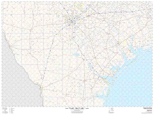
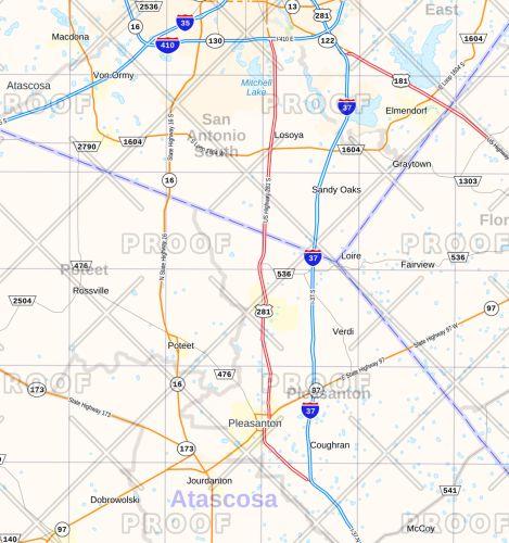
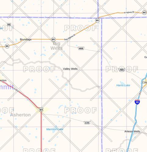
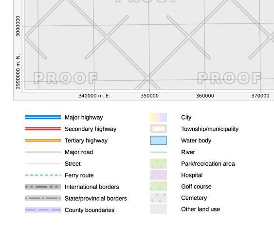
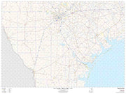
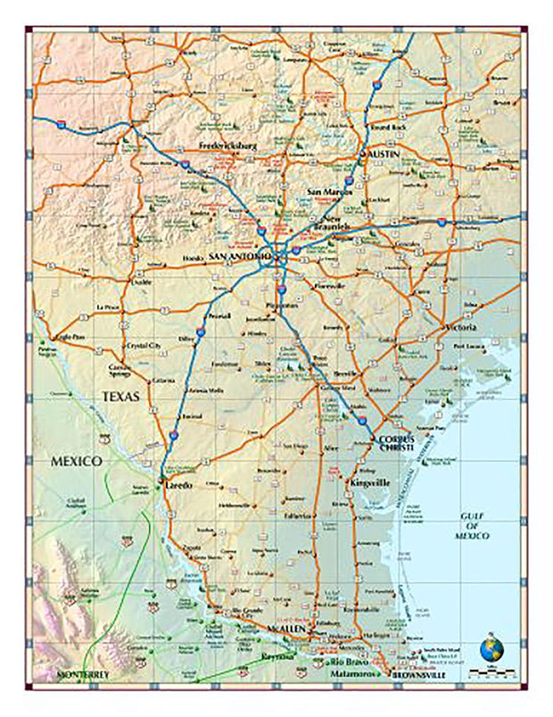
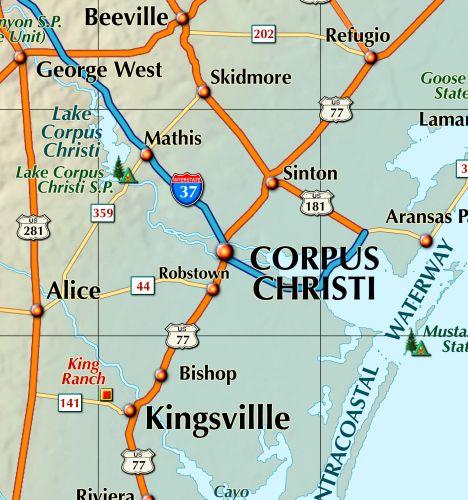
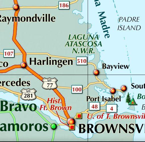
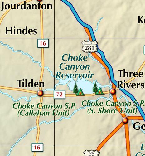
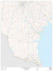
Eagle Ford Shale Wall Map
from $175.00
Quick view

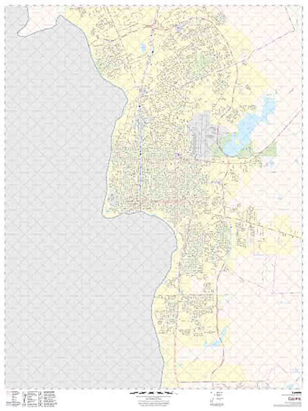
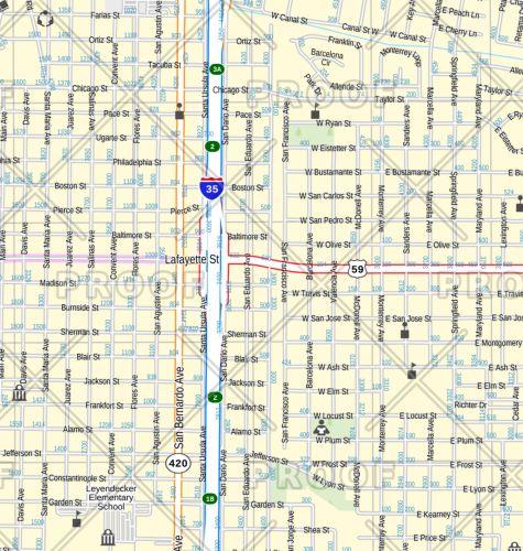
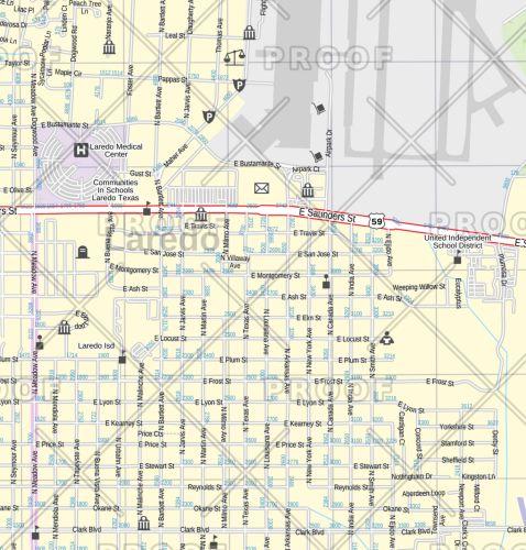
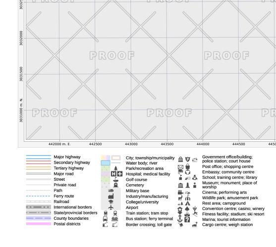
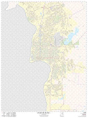
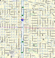
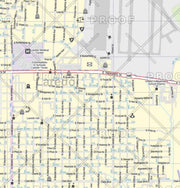
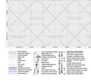
Laredo Wall Map by Map Sherpa
from $175.00
Quick view

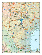
South Texas Regional Map
from $7.95


