0 in stock
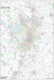
Austin, Texas – High-Resolution Satellite View Map
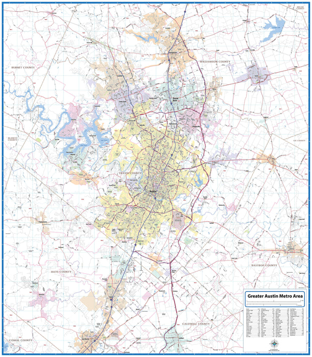
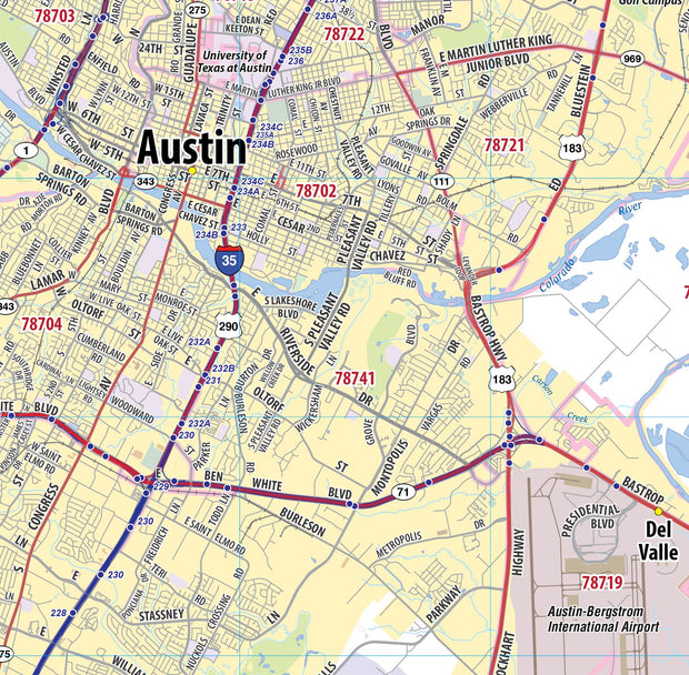
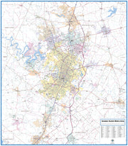
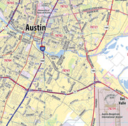
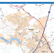
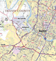
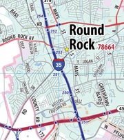
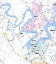
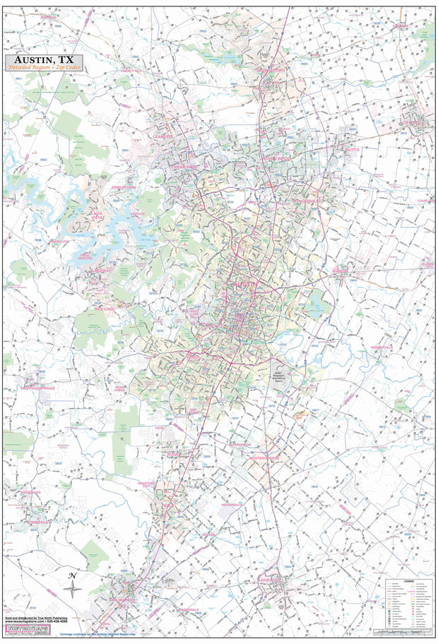
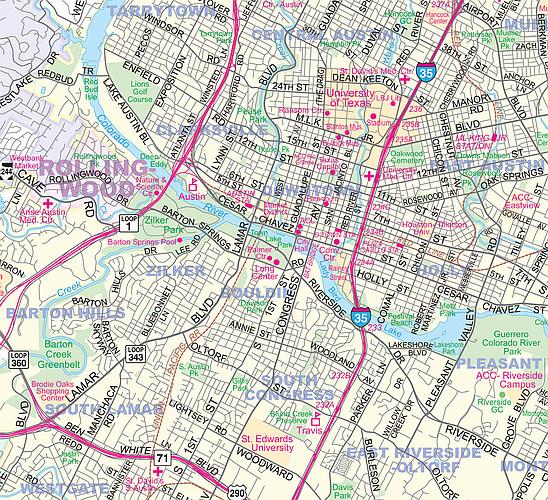
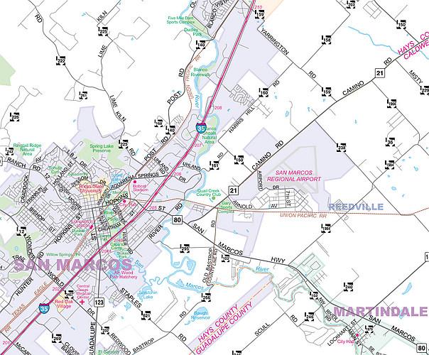
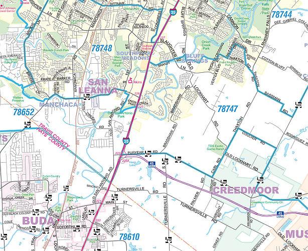
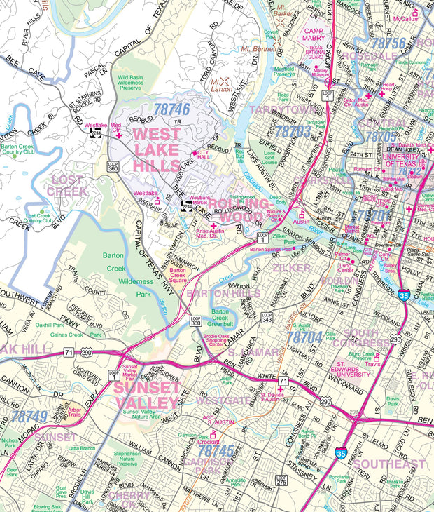
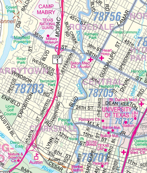
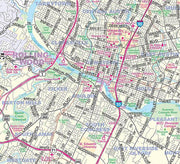
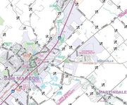
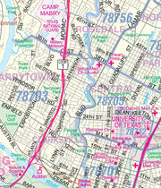
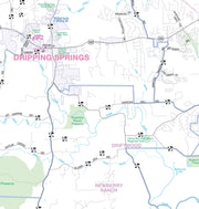
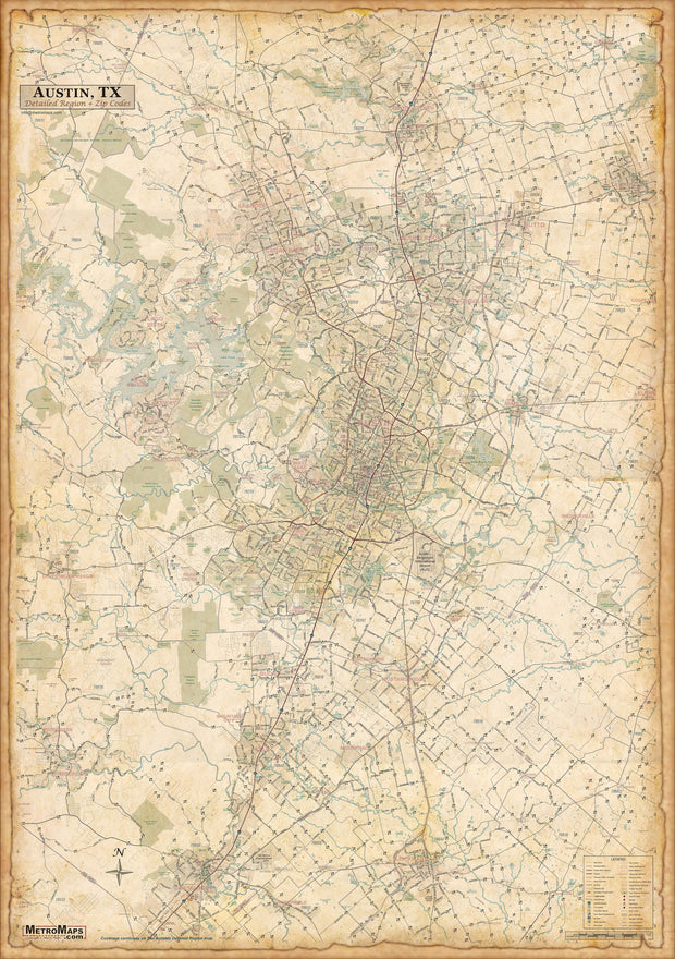
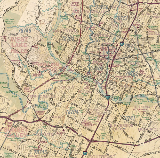
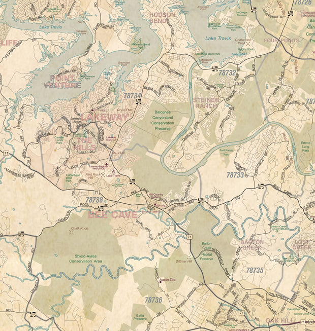
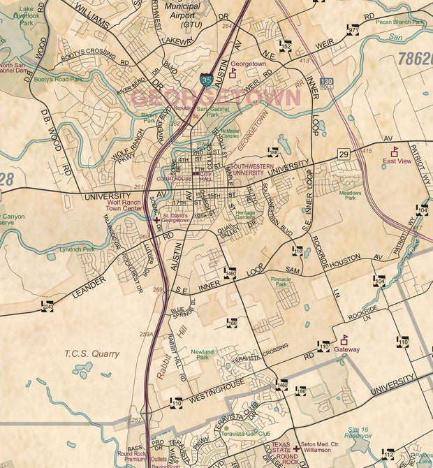
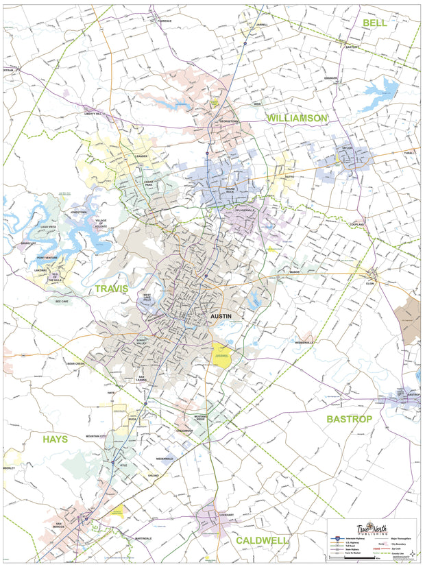
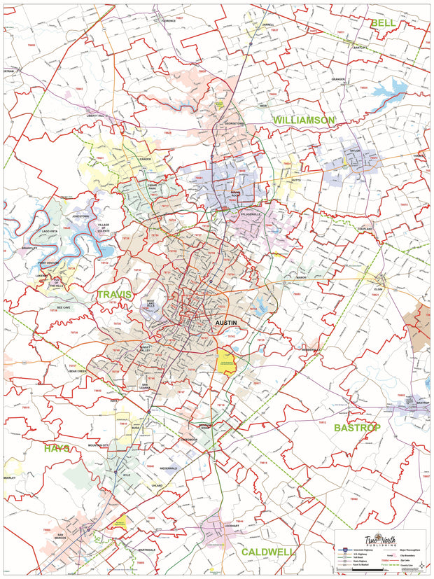
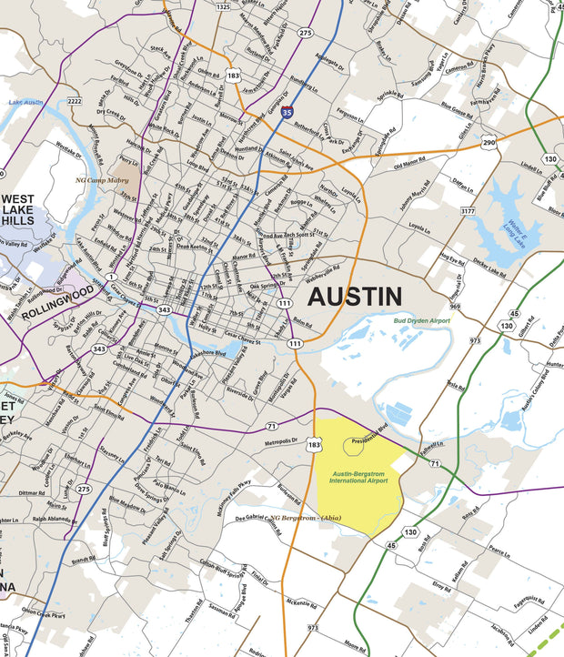
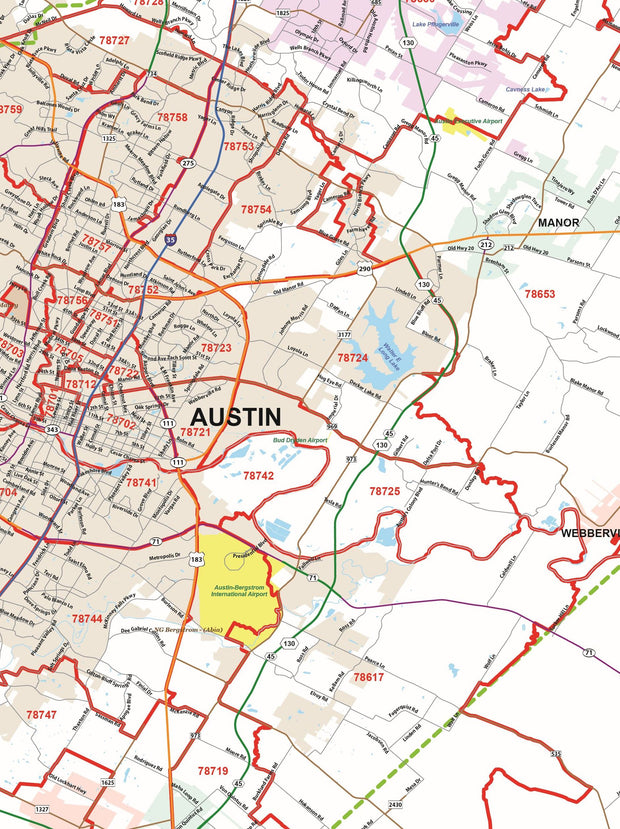
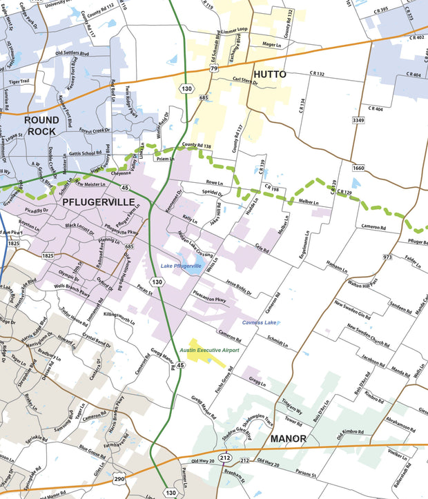
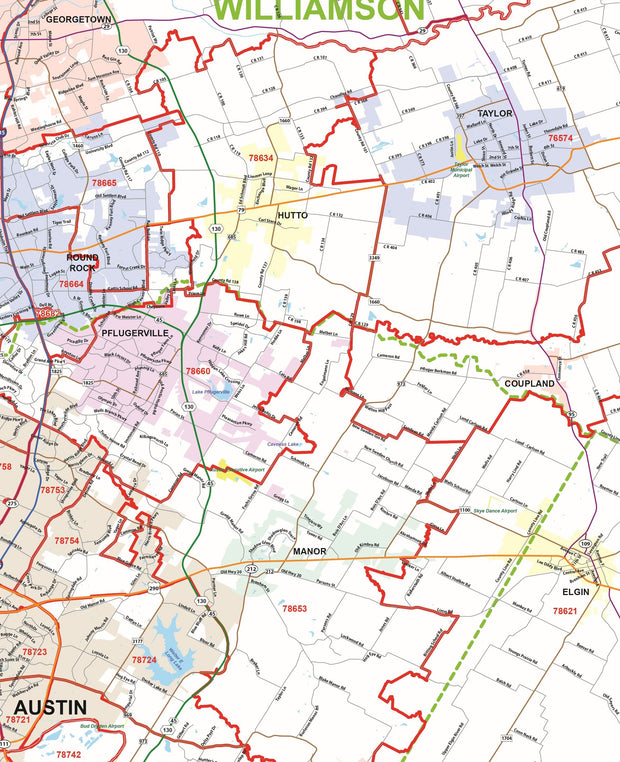
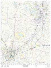
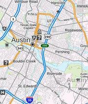
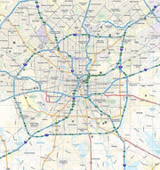
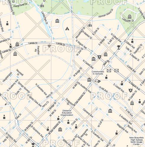
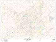
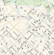
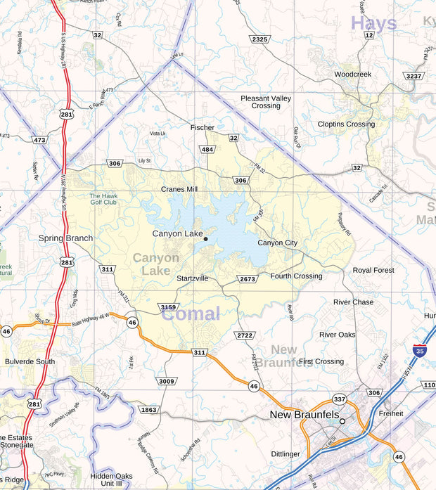
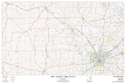
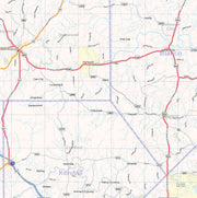
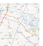
See Austin from a whole new perspective. This detailed satellite view map captures the city’s unique blend of urban energy and natural beauty—from the winding Colorado River and Lady Bird Lake to downtown’s dense grid, surrounding neighborhoods, highways, parks, and greenbelts.
Unlike traditional road maps, this piece shows the real Austin—actual buildings, terrain, waterways, and landscape patterns—giving you a true-to-life aerial view that’s both visually striking and geographically accurate.
Whether you’re a longtime local, a proud Texan, a UT grad, or someone who simply loves the city’s vibe, this map makes a bold statement on any wall. It’s perfect for home offices, living rooms, real estate offices, or as a meaningful gift connected to a place that matters.
Imagery Source & Quality
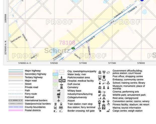
This product leverages the USGS National Agriculture Imagery Program (NAIP) imagery service from The National Map to generate natural color maps of the Lower 48 U.S. states. The result is a crisp, high-resolution image with realistic color and detail that highlights Austin’s streets, waterways, vegetation, and built environment with impressive clarity.
Features
-
True satellite imagery in natural color
-
High-resolution detail suitable for large-format printing
-
Clearly recognizable landmarks, neighborhoods, and terrain
-
A unique alternative to standard street or stylized maps
-
Designed to be both informative and visually striking
Print & Material Options
Your map is printed on heavy 36# bond paper for a durable, high-quality finish. You may also choose an upgrade to satin-finish photo paper for enhanced color depth and a smoother, more photographic appearance.
Shipping
Each print is carefully rolled and shipped in a sturdy cardboard tube to ensure it arrives safely and ready for framing.
Bring Austin to your wall—not as a diagram, but as it truly looks from above.