This is a high-resolution reproduction printed on 24 lb. bond paper.
PLEASE NOTE: This map does not cover the entire county. The principle county within which the map coverage lies is listed first with partial coverage as noted.
22"W x 30"H
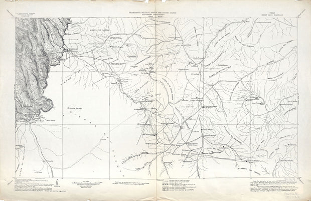
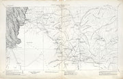
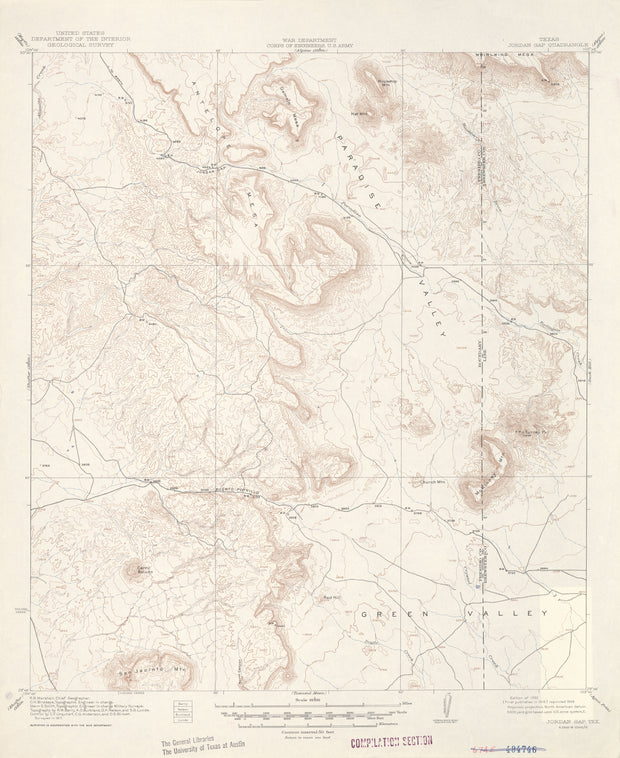
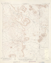
Boquillas 1916, US Army Corps of Engineers
HST0754
Regular price
$29.95
0 in stock
COUNTY: Brewster/Coahuila, Mex.; SCALE: 1:125,000
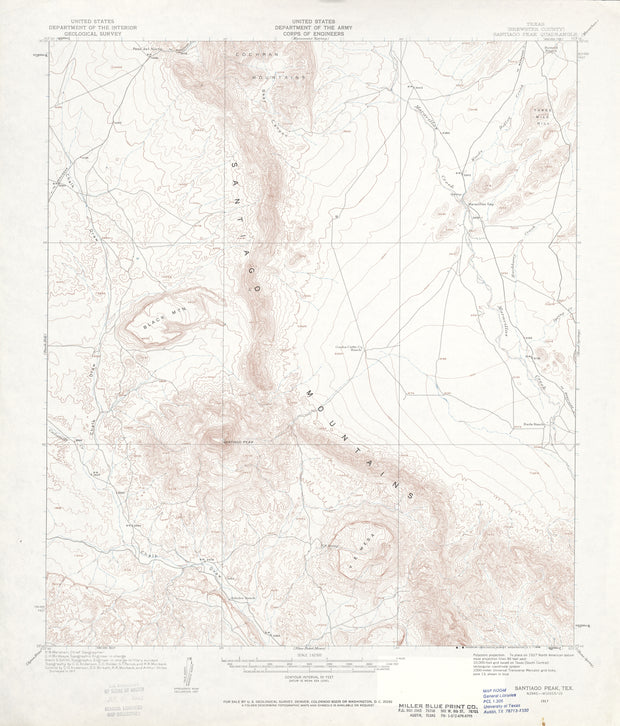
This is a high-resolution reproduction printed on 24 lb. bond paper.
PLEASE NOTE: This map does not cover the entire county. The principle county within which the map coverage lies is listed first with partial coverage as noted.
22"W x 30"H
Santiago Peak 1917, USGS
HST0343
Regular price
$29.95
0 in stock
COUNTY: Brewster; SCALE: 1:62,500
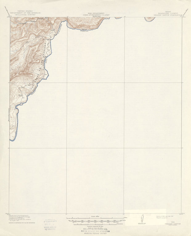
This is a high-resolution reproduction printed on 24 lb. bond paper.
PLEASE NOTE: This map does not cover the entire county. The principle county within which the map coverage lies is listed first with partial coverage as noted.
22"W x 30"H
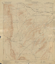
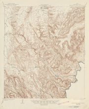
Reagan Canyon 1917, USGS
HST0313
Regular price
$29.95
0 in stock
COUNTY: Brewster; SCALE: 1:62,500
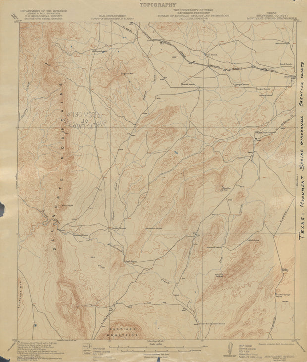
This is a high-resolution reproduction printed on 24 lb. bond paper.
PLEASE NOTE: This map does not cover the entire county. The principle county within which the map coverage lies is listed first with partial coverage as noted.
22"W x 30"H
Monument Spring 1920, USGS
HST0268
Regular price
$29.95
0 in stock
COUNTY: Brewster; SCALE: 1:62,500
This is a high-resolution reproduction printed on 24 lb. bond paper.
PLEASE NOTE: This map does not cover the entire county. The principle county within which the map coverage lies is listed first with partial coverage as noted.
22"W x 30"H
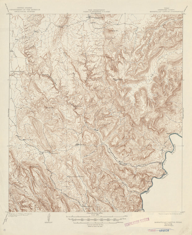
Maravillas Canyon 1917, USGS
HST0250
Regular price
$29.95
0 in stock
COUNTY: Brewster; SCALE: 1:62,500
This is a high-resolution reproduction printed on 24 lb. bond paper.
PLEASE NOTE: This map does not cover the entire county. The principle county within which the map coverage lies is listed first with partial coverage as noted.
22"W x 30"H
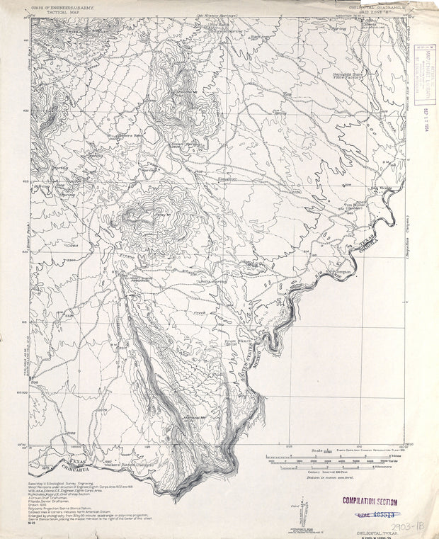
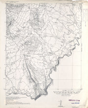
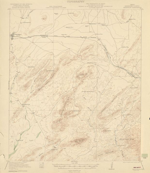
Marathon 1920, USGS
HST0249
Regular price
$29.95
0 in stock
COUNTY: Brewster; SCALE: 1:62,500
This is a high-resolution reproduction printed on 24 lb. bond paper.
PLEASE NOTE: This map does not cover the entire county. The principle county within which the map coverage lies is listed first with partial coverage as noted.
22"W x 30"H
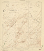
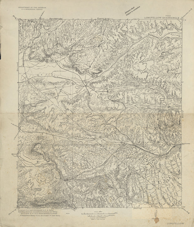
Longfellow 1920(?), USGS
HST0243
Regular price
$29.95
0 in stock
COUNTY: Pecos/Brewster; SCALE: 1:125,000
This is a high-resolution reproduction printed on 24 lb. bond paper.
PLEASE NOTE: This map does not cover the entire county. The principle county within which the map coverage lies is listed first with partial coverage as noted.
This is a high-resolution reproduction printed on 24 lb. bond paper.
PLEASE NOTE: This map does not cover the entire county. The principle county within which the map coverage lies is listed first with partial coverage as noted.
22"W x 30"H
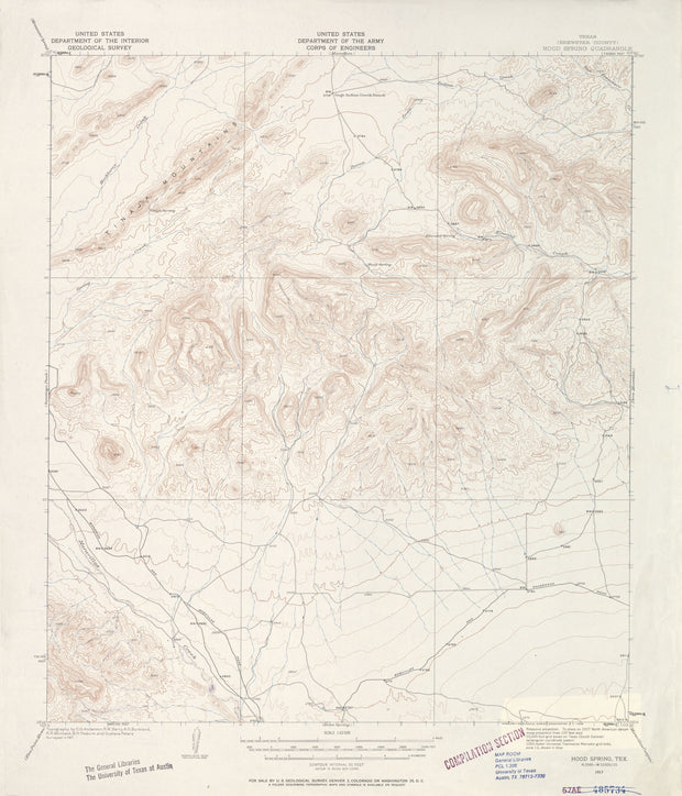
Hood Spring 1917, USGS
HST0203
Regular price
$29.95
0 in stock
COUNTY: Brewster; SCALE: 1:62,500
This is a high-resolution reproduction printed on 24 lb. bond paper.
PLEASE NOTE: This map does not cover the entire county. The principle county within which the map coverage lies is listed first with partial coverage as noted.
22"W x 30"H
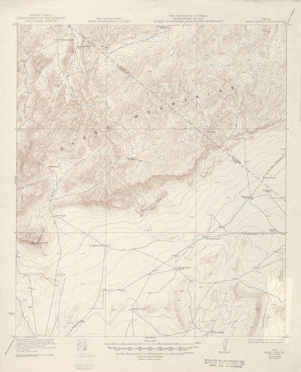
Hess Canyon 1921, USGS
HST0199
Regular price
$29.95
0 in stock
COUNTY: Brewster (partial Pecos); SCALE: 1:62,500
This is a high-resolution reproduction printed on 24 lb. bond paper.
PLEASE NOTE: This map does not cover the entire county. The principle county within which the map coverage lies is listed first with partial coverage as noted.
22"W x 30"H
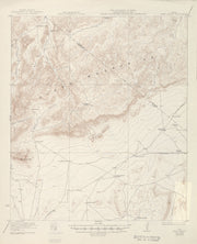
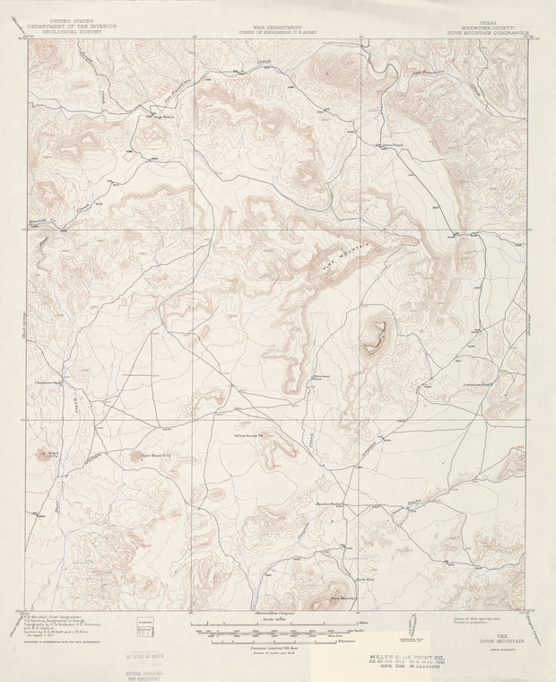
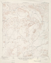
Dove Mountain 1917, USGS
HST0143
Regular price
$29.95
0 in stock
COUNTY: Brewster; SCALE: 1:62,500
This is a high-resolution reproduction printed on 24 lb. bond paper.
PLEASE NOTE: This map does not cover the entire county. The principle county within which the map coverage lies is listed first with partial coverage as noted.
22"W x 30"H
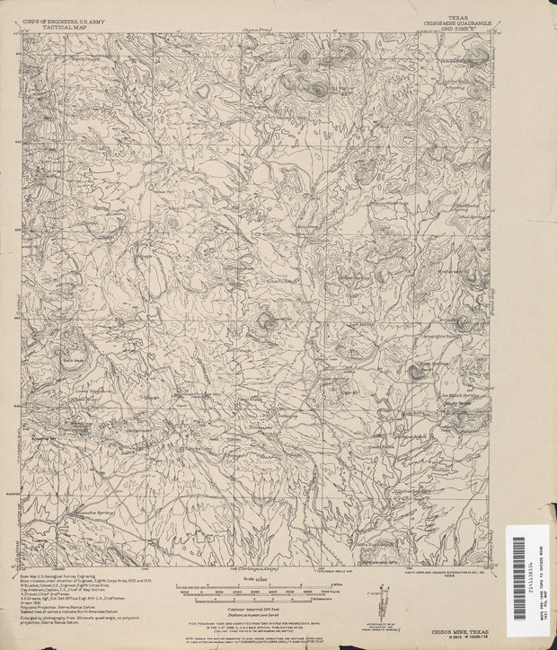
Chisos Mine 1931, US Army Corps of Engineers
HST0117
Regular price
$29.95
0 in stock
COUNTY: Brewster; SCALE: 1:62,500
This is a high-resolution reproduction printed on 24 lb. bond paper.
PLEASE NOTE: This map does not cover the entire county. The principle county within which the map coverage lies is listed first with partial coverage as noted.
22"W x 30"H
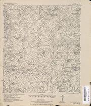
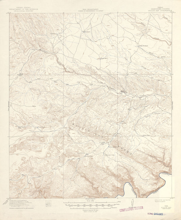
Bullis Gap 1917, USGS
HST0105
Regular price
$29.95
0 in stock
COUNTY: Brewster; SCALE: 1:62,500
This is a high-resolution reproduction printed on 24 lb. bond paper.
PLEASE NOTE: This map does not cover the entire county. The principle county within which the map coverage lies is listed first with partial coverage as noted.
22"W x 30"H
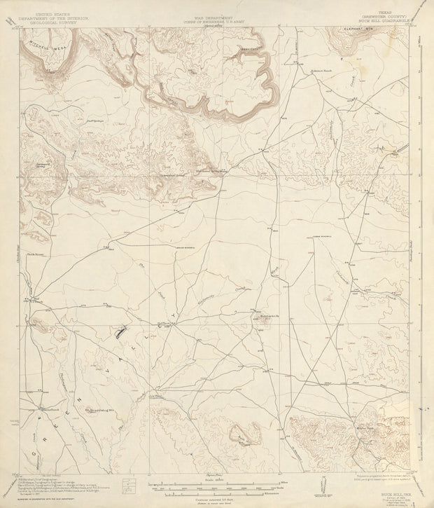
Buck Hill 1917, USGS
HST0102
Regular price
$29.95
0 in stock
COUNTY: Brewster; SCALE: 1:62,500
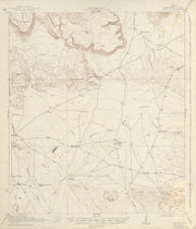
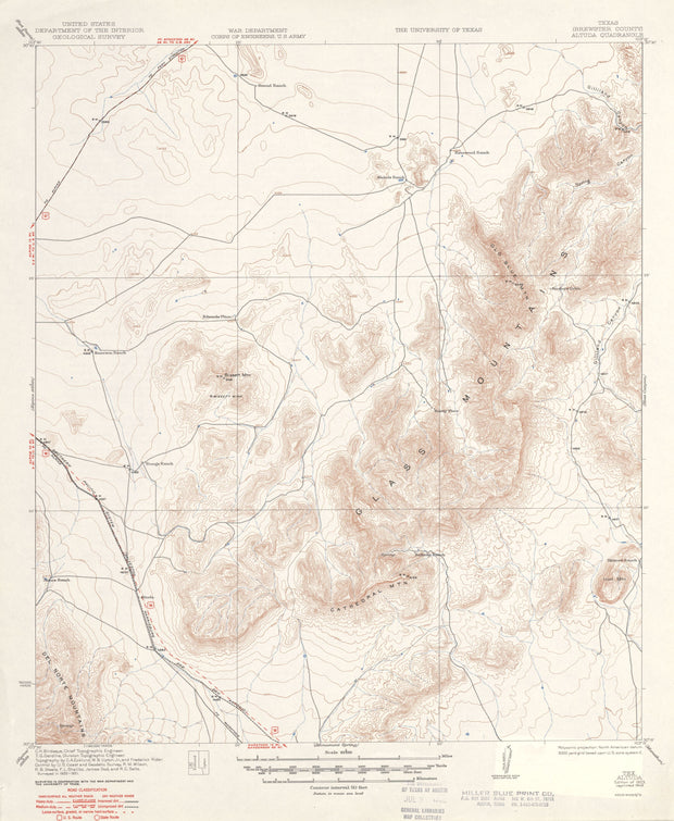
This is a high-resolution reproduction printed on 24 lb. bond paper.
PLEASE NOTE: This map does not cover the entire county. The principle county within which the map coverage lies is listed first with partial coverage as noted.
22"W x 30"H
Altuda 1921, USGS
HST0057
Regular price
$29.95
0 in stock
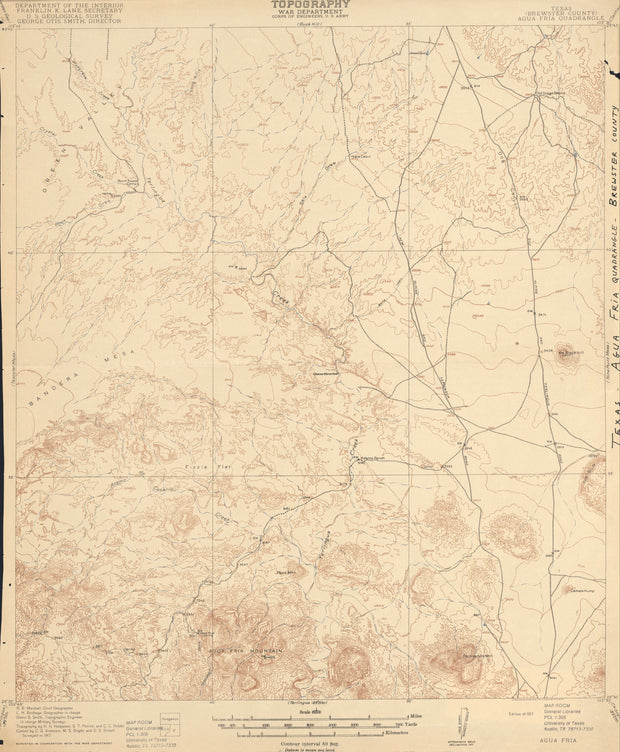
COUNTY: Brewster; SCALE: 1:62,500 This is a high-resolution reproduction printed on 24 lb. bond paper. PLEASE NOTE: This map does not cover the entire county. The principle county within which the map coverage lies is listed first with partial coverage as noted.
22"W x 30"H
Agua Fria 1917, USGS
HST0049
Regular price
$29.95
0 in stock
COUNTY: Brewster; SCALE: 1:125,000 This is a high-resolution reproduction printed on 24 lb. bond paper. PLEASE NOTE: This map does not cover the entire county. The principle county within which the map coverage lies is listed first with partial coverage as noted.