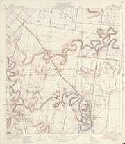
This is a high-resolution reproduction printed on 24 lb. bond paper.
PLEASE NOTE: This map does not cover the entire county. The principle county within which the map coverage lies is listed first with partial coverage as noted.
22"W x 30"H
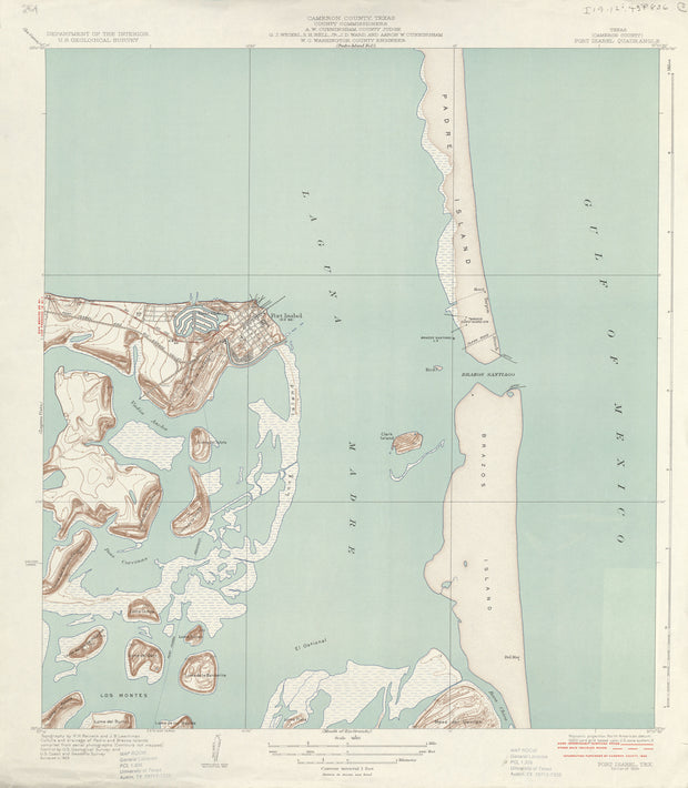
Port Isabel 1929, USGS
HST0309
Regular price
$29.95
0 in stock
COUNTY: Cameron; SCALE: 1:31,680
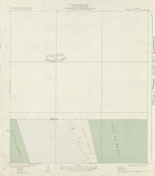
This is a high-resolution reproduction printed on 24 lb. bond paper.
PLEASE NOTE: This map does not cover the entire county. The principle county within which the map coverage lies is listed first with partial coverage as noted.
22"W x 30"H
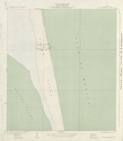
Padre Island No 3 1930, USGS
HST0295
Regular price
$29.95
0 in stock
COUNTY: Cameron; SCALE: 1:31,680
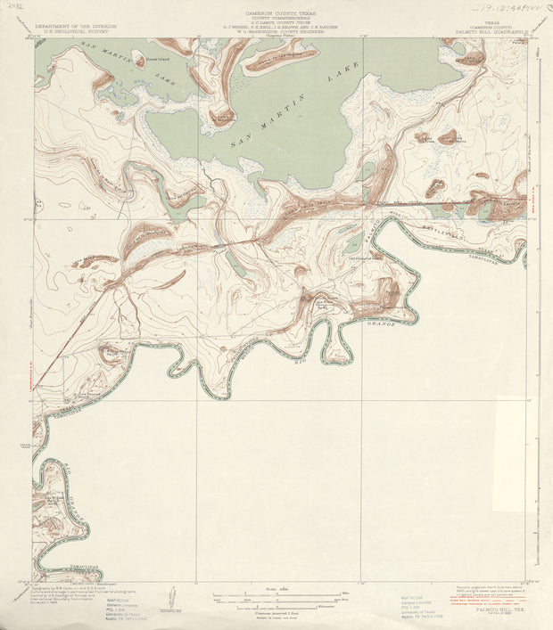
This is a high-resolution reproduction printed on 24 lb. bond paper.
PLEASE NOTE: This map does not cover the entire county. The principle county within which the map coverage lies is listed first with partial coverage as noted.
22"W x 30"H
Palmito Hill 1929, USGS
HST0298
Regular price
$29.95
0 in stock
COUNTY: Cameron; SCALE: 1:31,680
This is a high-resolution reproduction printed on 24 lb. bond paper.
PLEASE NOTE: This map does not cover the entire county. The principle county within which the map coverage lies is listed first with partial coverage as noted.
22"W x 30"H
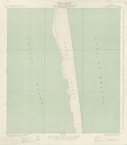
Padre Island No 2 1930, USGS
HST0294
Regular price
$29.95
0 in stock
COUNTY: Cameron; SCALE: 1:31,680
This is a high-resolution reproduction printed on 24 lb. bond paper.
PLEASE NOTE: This map does not cover the entire county. The principle county within which the map coverage lies is listed first with partial coverage as noted.
22"W x 30"H
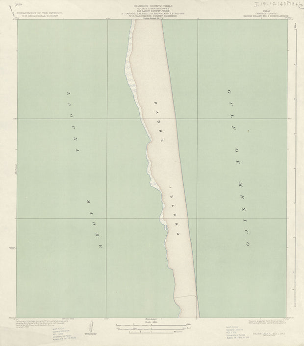
Padre Island No 1 1930, USGS
HST0293
Regular price
$29.95
0 in stock
COUNTY: Cameron; SCALE: 1:31,680
This is a high-resolution reproduction printed on 24 lb. bond paper.
PLEASE NOTE: This map does not cover the entire county. The principle county within which the map coverage lies is listed first with partial coverage as noted.
22"W x 30"H
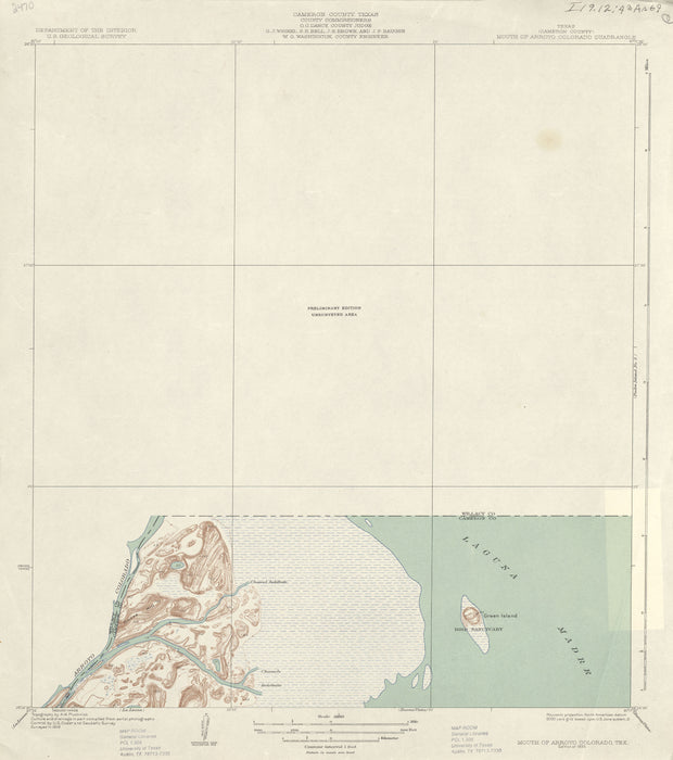
Mouth Of Arroyo Colorado 1929, USGS
HST0272
Regular price
$29.95
0 in stock
COUNTY: Cameron; SCALE: 1:31,680
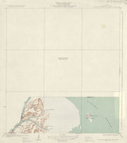
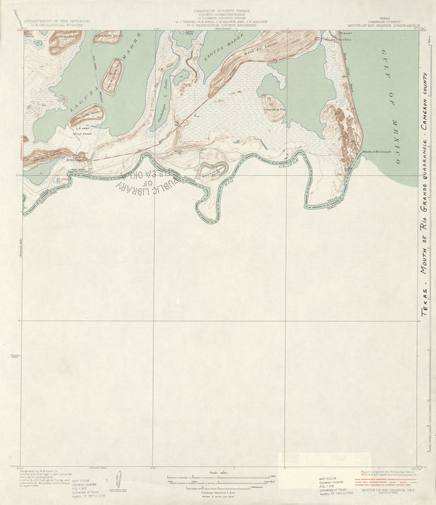
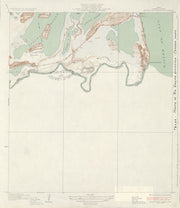
This is a high-resolution reproduction printed on 24 lb. bond paper.
PLEASE NOTE: This map does not cover the entire county. The principle county within which the map coverage lies is listed first with partial coverage as noted.
22"W x 30"H
Mouth Of Rio Grande 1929, USGS
HST0273
Regular price
$29.95
0 in stock
COUNTY: Cameron; SCALE: 1:31,680
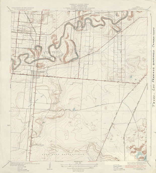
This is a high-resolution reproduction printed on 24 lb. bond paper.
PLEASE NOTE: This map does not cover the entire county. The principle county within which the map coverage lies is listed first with partial coverage as noted.
22"W x 30"H
Los Fresnos 1930, USGS
HST0246
Regular price
$29.95
0 in stock
COUNTY: Cameron; SCALE: 1:31,680
This is a high-resolution reproduction printed on 24 lb. bond paper.
PLEASE NOTE: This map does not cover the entire county. The principle county within which the map coverage lies is listed first with partial coverage as noted.
22"W x 30"H
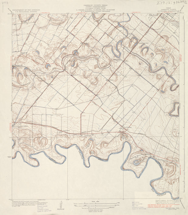
La Paloma 1929, USGS
HST0229
Regular price
$29.95
0 in stock
COUNTY: Cameron; SCALE: 1:31,680
This is a high-resolution reproduction printed on 24 lb. bond paper.
PLEASE NOTE: This map does not cover the entire county. The principle county within which the map coverage lies is listed first with partial coverage as noted.
22"W x 30"H
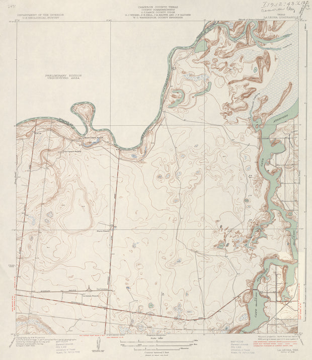
La Leona 1930, USGS
HST0228
Regular price
$29.95
0 in stock
COUNTY: Cameron; SCALE: 1:31,680
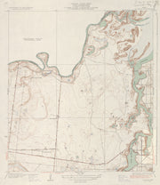
This is a high-resolution reproduction printed on 24 lb. bond paper.
PLEASE NOTE: This map does not cover the entire county. The principle county within which the map coverage lies is listed first with partial coverage as noted.
22"W x 30"H
La Feria 1929, USGS
HST0226
Regular price
$29.95
0 in stock
COUNTY: Cameron; SCALE: 1:31,680
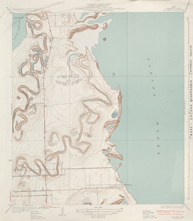
This is a high-resolution reproduction printed on 24 lb. bond paper.
PLEASE NOTE: This map does not cover the entire county. The principle county within which the map coverage lies is listed first with partial coverage as noted.
22"W x 30"H
La Coma 1929, USGS
HST0225
Regular price
$29.95
0 in stock
COUNTY: Cameron; SCALE: 1:31,680
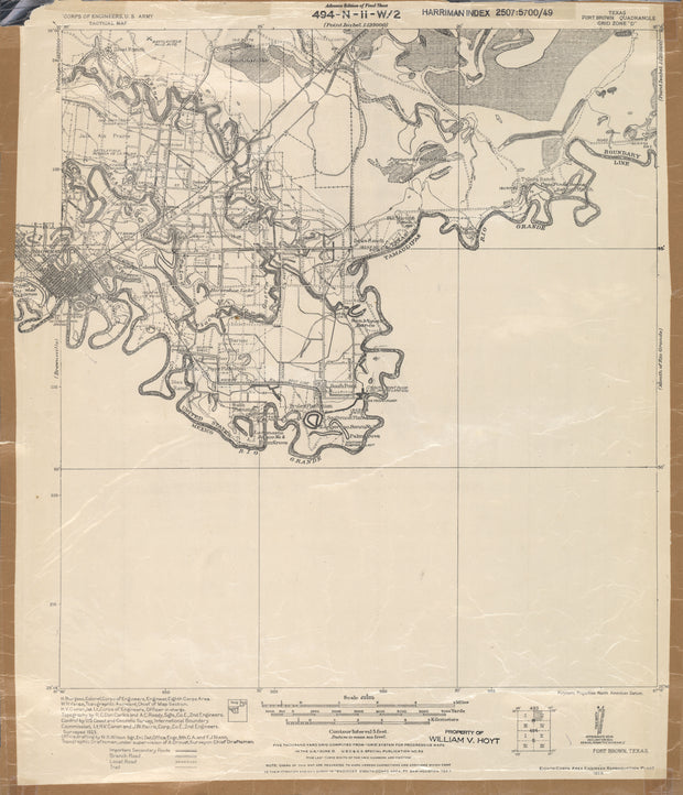
This is a high-resolution reproduction printed on 24 lb. bond paper.
PLEASE NOTE: This map does not cover the entire county. The principle county within which the map coverage lies is listed first with partial coverage as noted.
22"W x 30"H
Fort Brown 1923, US Army Corps of Engineers
HST0168
Regular price
$29.95
0 in stock
COUNTY: Cameron; SCALE: 1:62,500
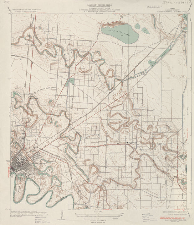
This is a high-resolution reproduction printed on 24 lb. bond paper.
PLEASE NOTE: This map does not cover the entire county. The principle county within which the map coverage lies is listed first with partial coverage as noted.
22"W x 30"H
East Brownsville 1930, USGS
HST0148
Regular price
$29.95
0 in stock
COUNTY: Cameron; SCALE: 1:31,680
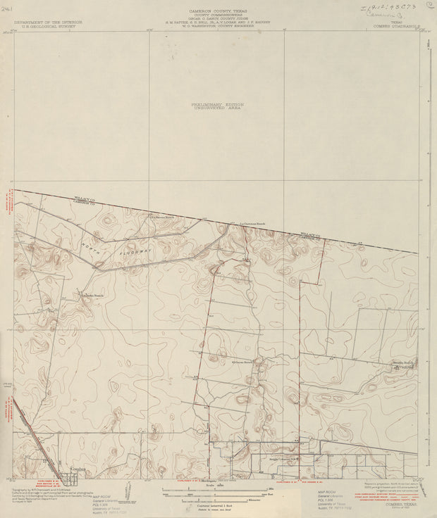
This is a high-resolution reproduction printed on 24 lb. bond paper.
PLEASE NOTE: This map does not cover the entire county. The principle county within which the map coverage lies is listed first with partial coverage as noted.
22"W x 30"H
Combes 1929, USGS
HST0128
Regular price
$29.95
0 in stock
COUNTY: Cameron; SCALE: 1:31,680
This is a high-resolution reproduction printed on 24 lb. bond paper.
PLEASE NOTE: This map does not cover the entire county. The principle county within which the map coverage lies is listed first with partial coverage as noted.
22"W x 30"H
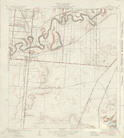
Buena Vista 1929, USGS
HST0104
Regular price
$29.95
0 in stock
COUNTY: Cameron; SCALE: 1:31,680
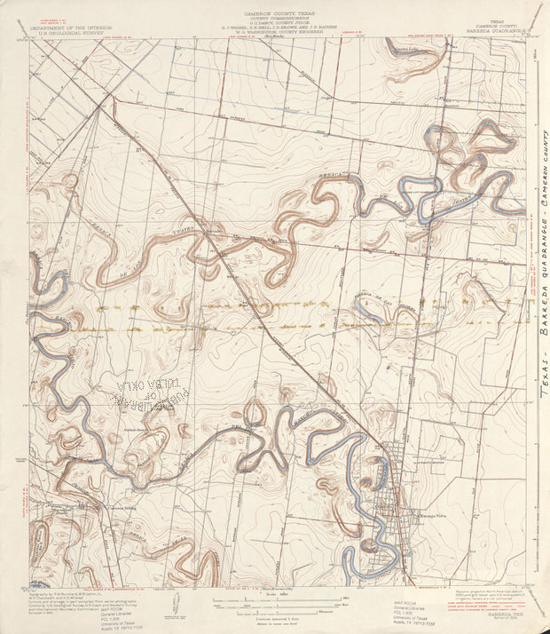
This is a high-resolution reproduction printed on 24 lb. bond paper.
PLEASE NOTE: This map does not cover the entire county. The principle county within which the map coverage lies is listed first with partial coverage as noted.
22"W x 30"H
Barreda 1930, USGS
HST0071
Regular price
$29.95
0 in stock
COUNTY: Cameron; SCALE: 1:31,680
This is a high-resolution reproduction printed on 24 lb. bond paper.
PLEASE NOTE: This map does not cover the entire county. The principle county within which the map coverage lies is listed first with partial coverage as noted.