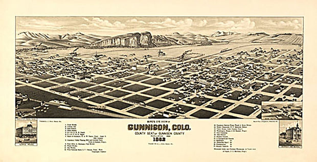
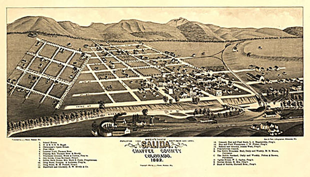
0 in stock
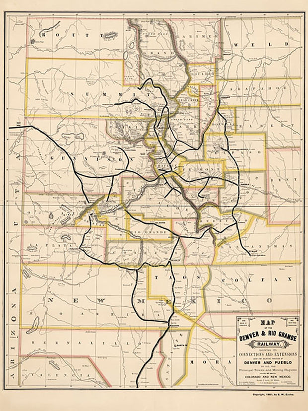
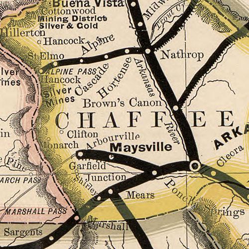
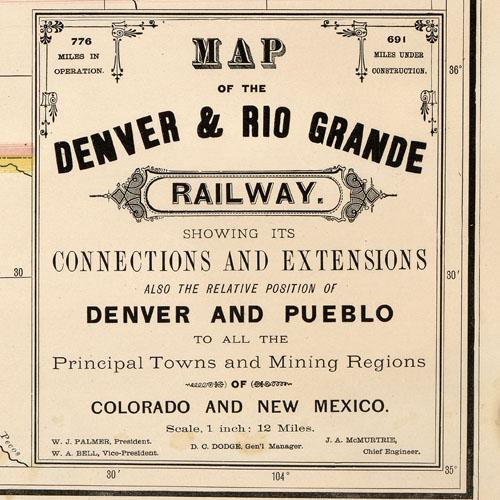
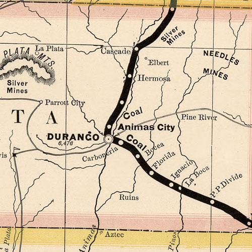
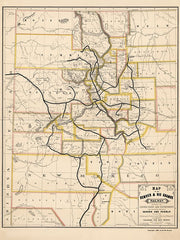
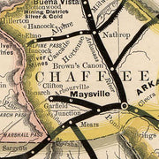
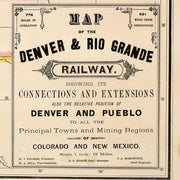
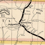
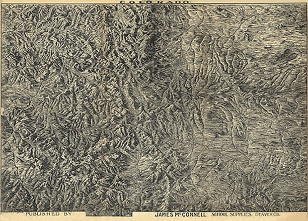
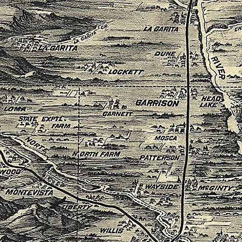
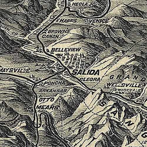
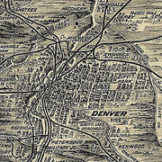
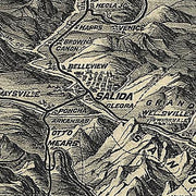
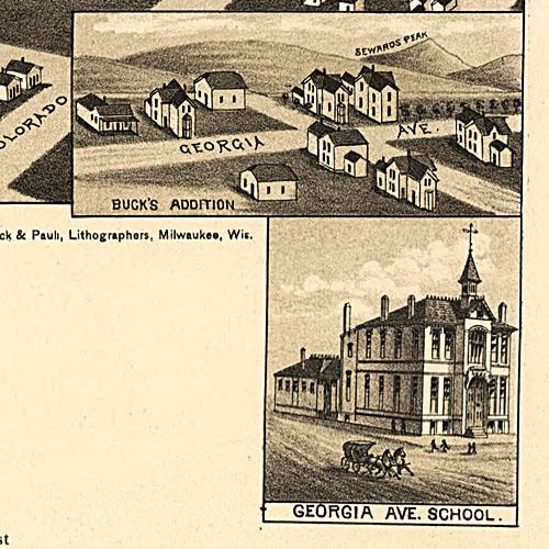
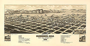
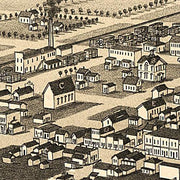
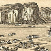
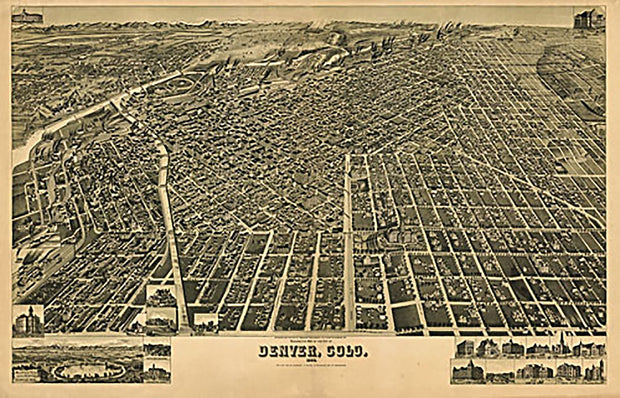
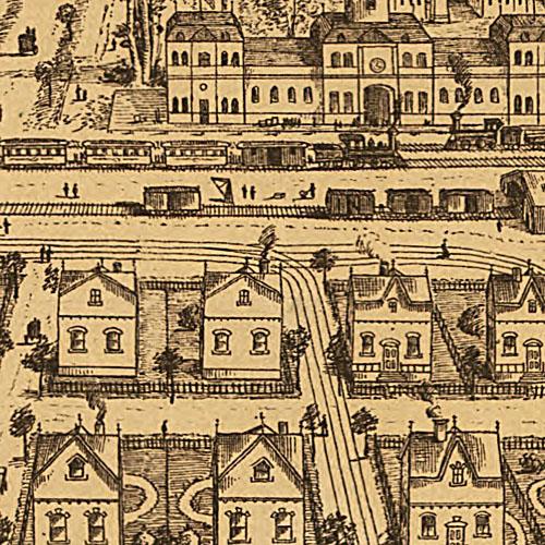
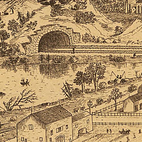
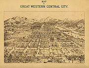
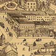
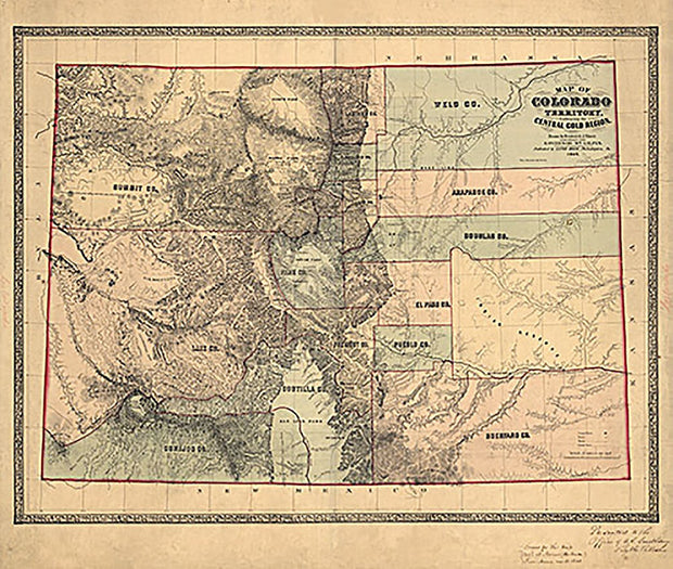
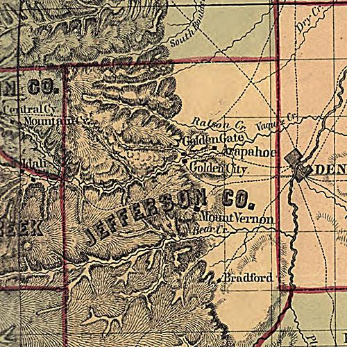
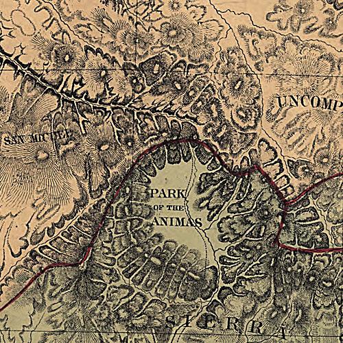
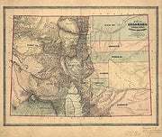
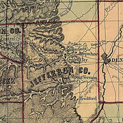
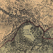
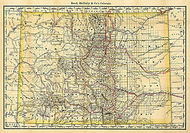
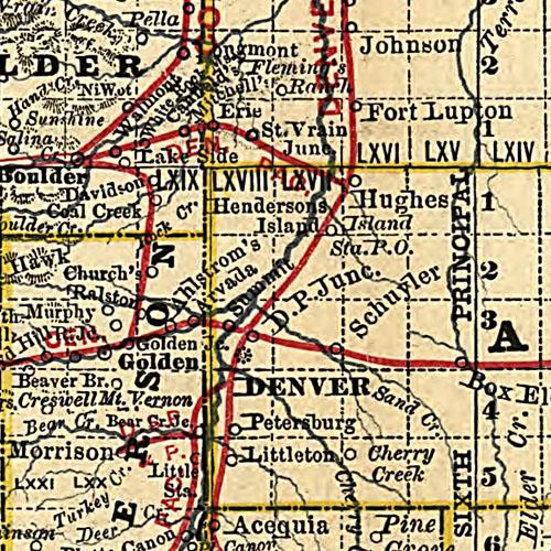
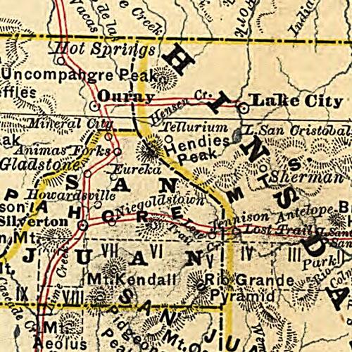
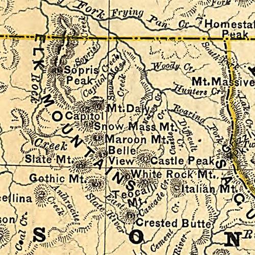
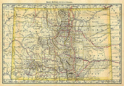
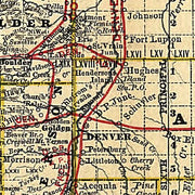
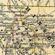
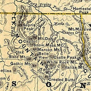
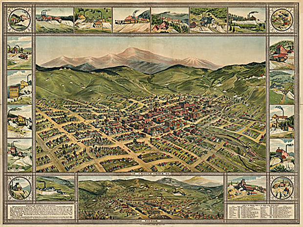
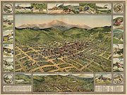
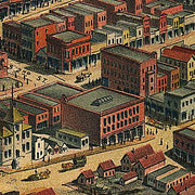
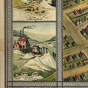
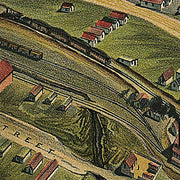
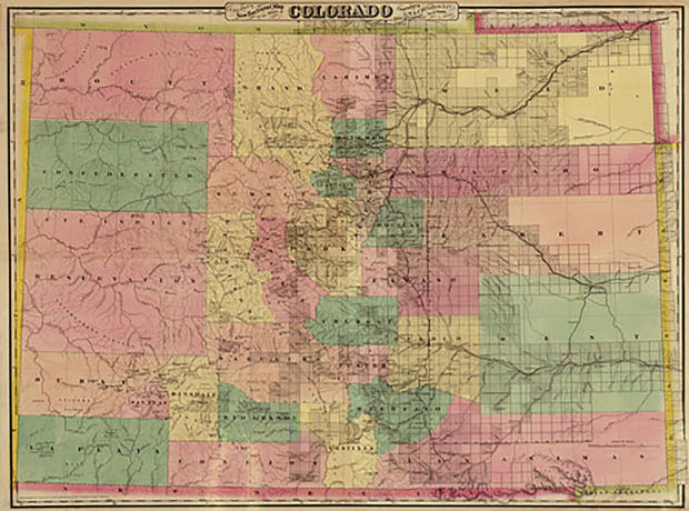
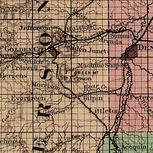
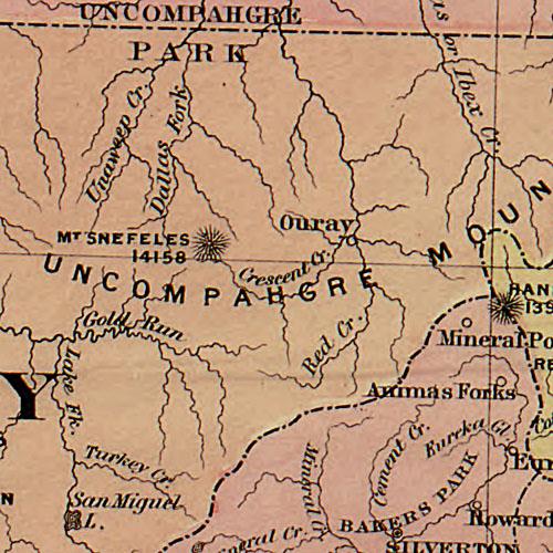
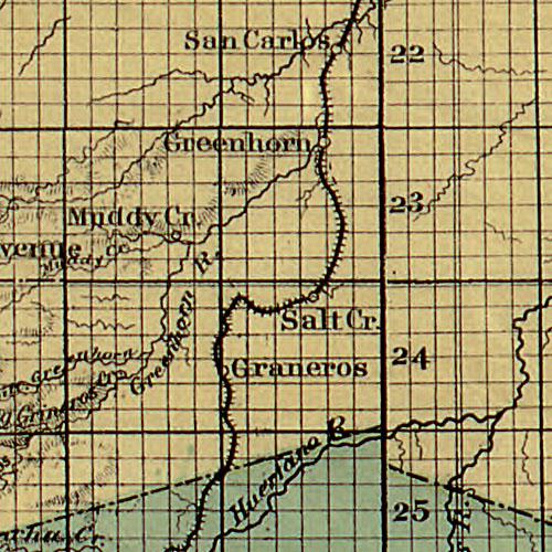
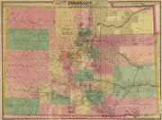
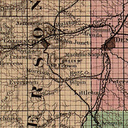
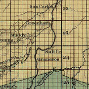
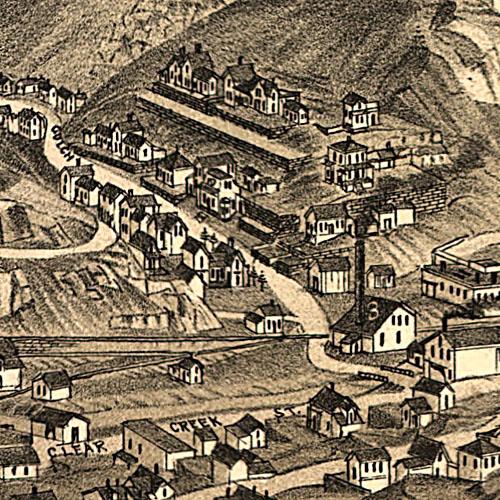
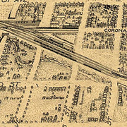
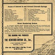
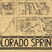
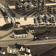
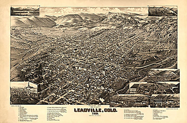
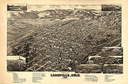
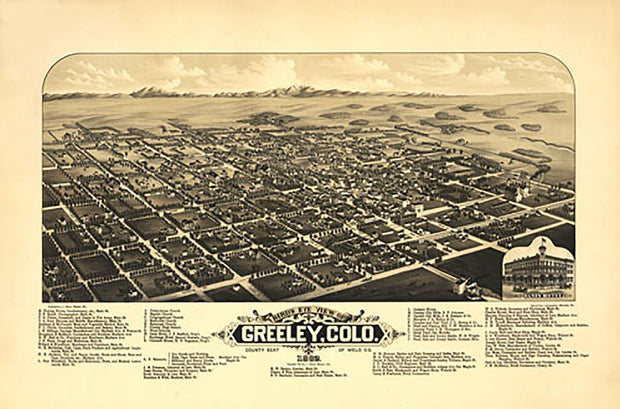
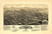
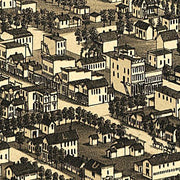
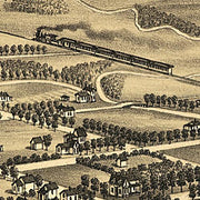
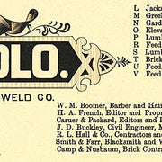
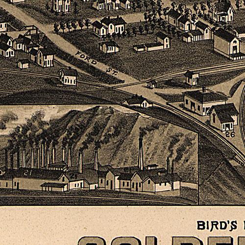
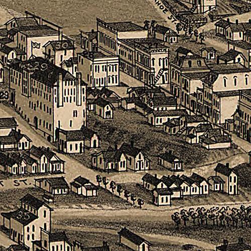
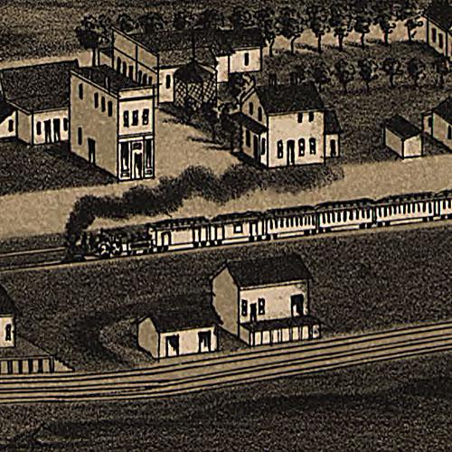
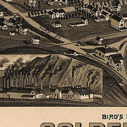
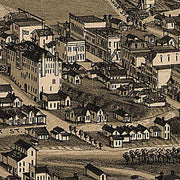
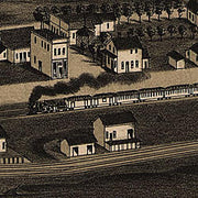
Indexed map of Colorado showing the railroads in the state, and the express company doing business over each, also counties and rivers.
Rand McNally and Company. CREATED/PUBLISHED
Chicago, 1879. SUMMARY -
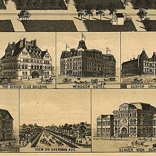
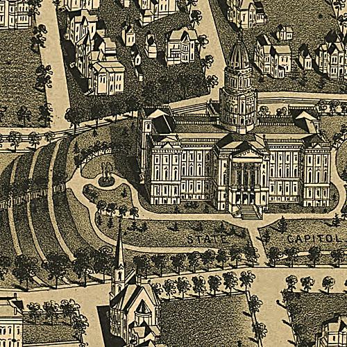
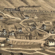
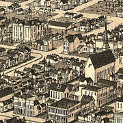
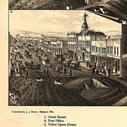
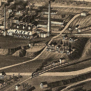
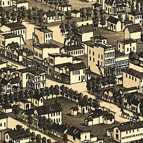
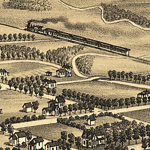
Shows relief by hachures, drainage, counties, cities and towns, roads, and the railroads with names along the lines.
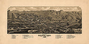
This beautiful antique map reproduction is printed on heavy acid-free stock with fade proof inks and is excellent for framing.
26"W x 18"H