-1 in stock
- Laminated with wood hanging rails
- 65" W x 50" H
- Separate index included
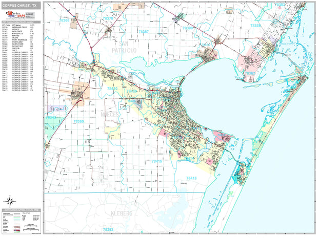
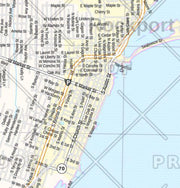
- Includes Corpus, Calallen, Robstown, Port A, Ingleside, Aransas Pass
- Zip Code Boundaries Included
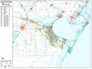
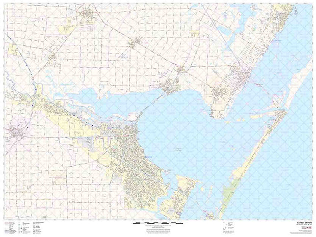
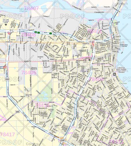
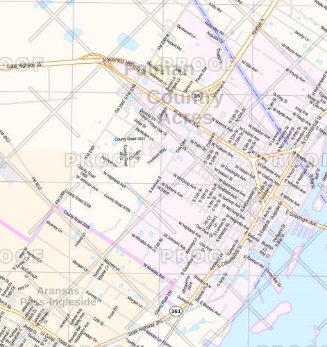
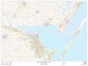
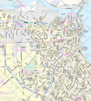
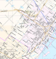
This 5th Edition wall map covers all of the greater Corpus Christi area and includes Calallen, Robstown, Portland, Port Aransas, Ingleside, and Aransas Pass. It also has insets of Portland, Port Aransas, Ingleside, Aransas Pass, and Downtown Corpus Christi and features airports, golf courses/country clubs, railroads, lat/long lines, zip codes/boundaries, shopping centers, parks, cemeteries, schools, hospitals, post offices, city limits and annexations, fire/police stations, and points of interest. Hanging rails are included on top and bottom for easy wall mounting. Street indexing is found in a separate book.
Click
HERE for a larger view of this map