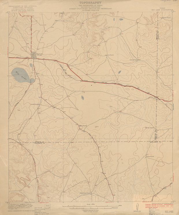
This is a high-resolution reproduction printed on 24 lb. bond paper.
PLEASE NOTE: This map does not cover the entire county. The principle county within which the map coverage lies is listed first with partial coverage as noted.
This is a high-resolution reproduction printed on 24 lb. bond paper.
PLEASE NOTE: This map does not cover the entire county. The principle county within which the map coverage lies is listed first with partial coverage as noted.
22"W x 30"H
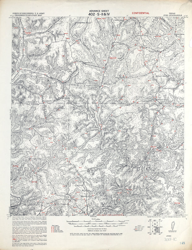
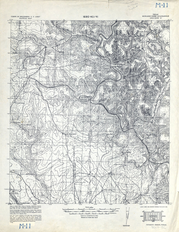
Juno 1919, US Army Corps of Engineers
HST0855
Regular price
$29.95
0 in stock
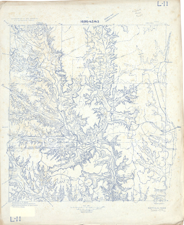
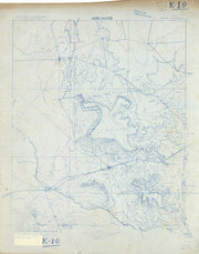
COUNTY: Crockett/Val Verde; SCALE: 1:125,000
This is a high-resolution reproduction printed on 24 lb. bond paper.
PLEASE NOTE: This map does not cover the entire county. The principle county within which the map coverage lies is listed first with partial coverage as noted.
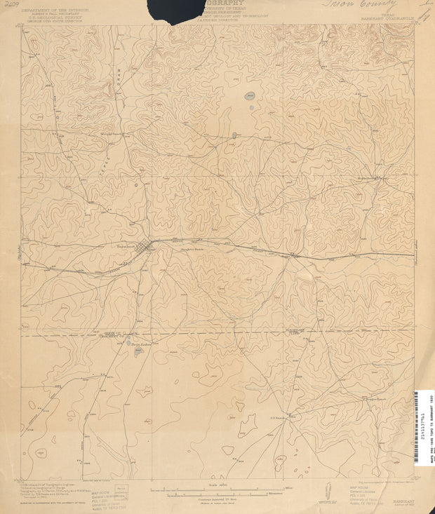
This is a high-resolution reproduction printed on 24 lb. bond paper.
PLEASE NOTE: This map does not cover the entire county. The principle county within which the map coverage lies is listed first with partial coverage as noted.
This is a high-resolution reproduction printed on 24 lb. bond paper.
PLEASE NOTE: This map does not cover the entire county. The principle county within which the map coverage lies is listed first with partial coverage as noted.
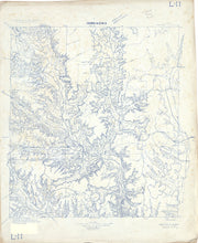
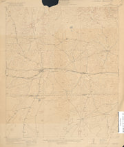
This is a high-resolution reproduction printed on 24 lb. bond paper.
PLEASE NOTE: This map does not cover the entire county. The principle county within which the map coverage lies is listed first with partial coverage as noted.
22"W x 30"H
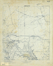
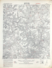
Barnhart 1920, USGS
HST0070
Regular price
$29.95
-1 in stock
COUNTY: Irion (partial Crockett); SCALE: 1:62,500
This is a high-resolution reproduction printed on 24 lb. bond paper.
PLEASE NOTE: This map does not cover the entire county. The principle county within which the map coverage lies is listed first with partial coverage as noted.