-3 in stock
- Laminated with wood hanging rails
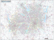
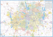
- 60" W x 70" H
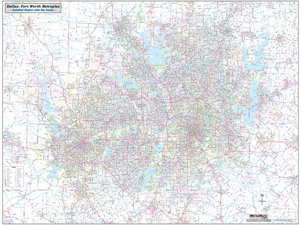
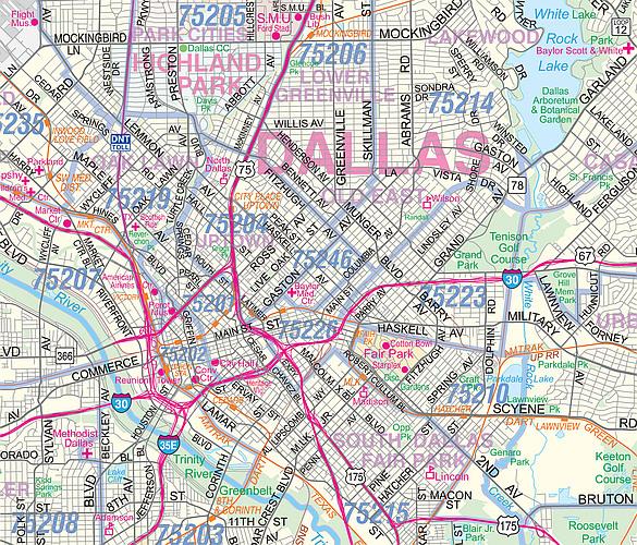
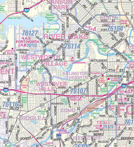
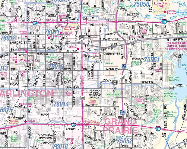
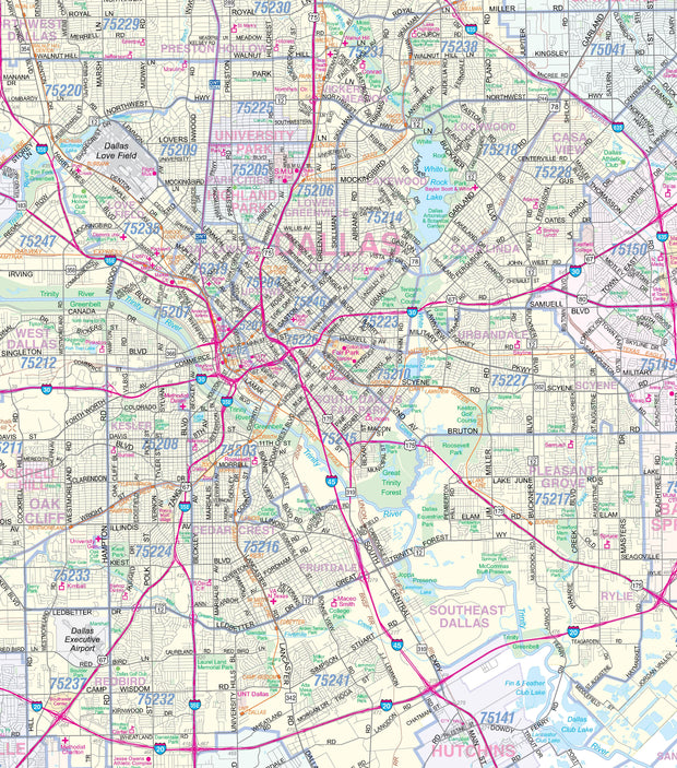
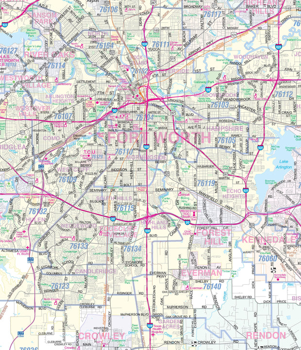
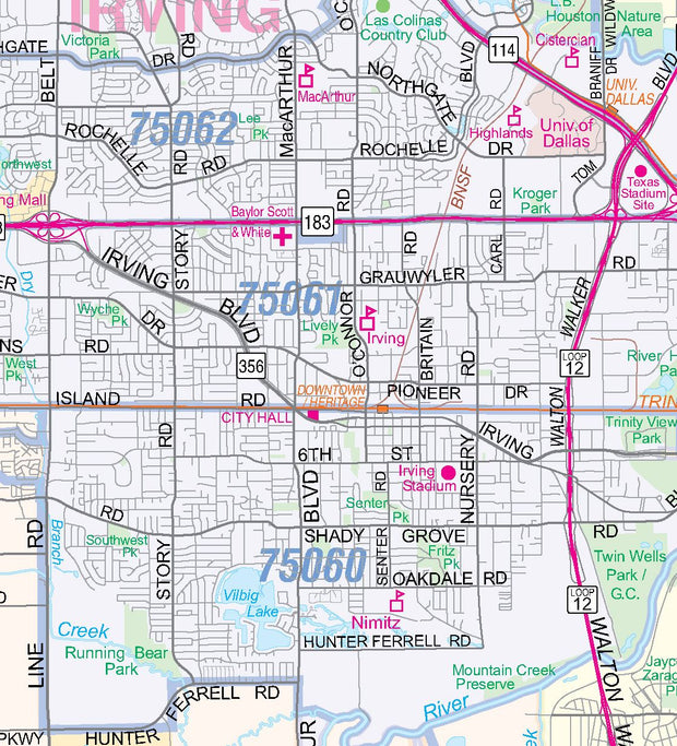
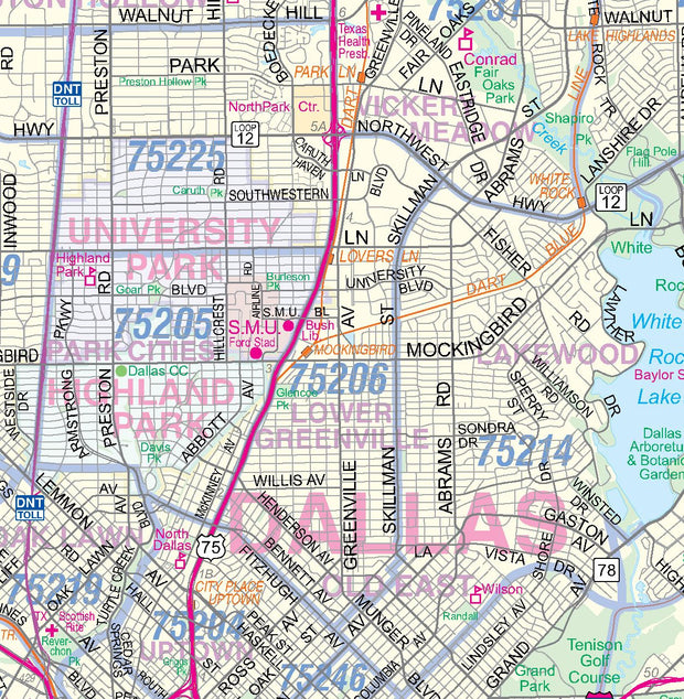
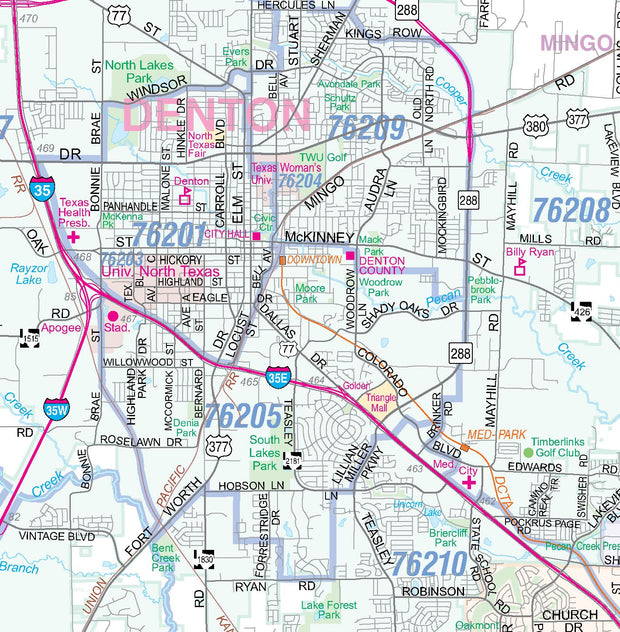
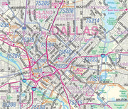
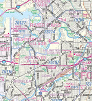
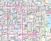
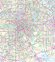
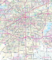
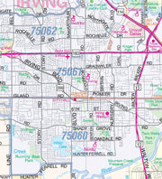
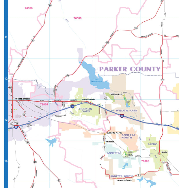
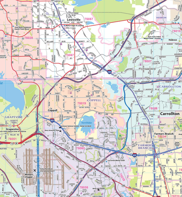
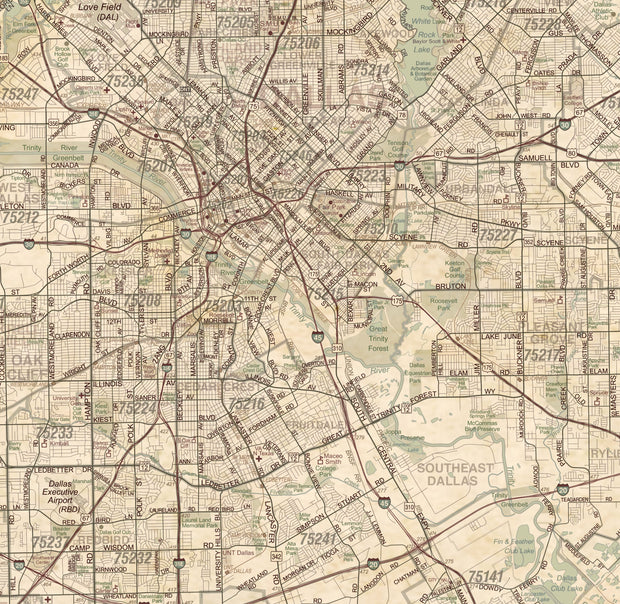
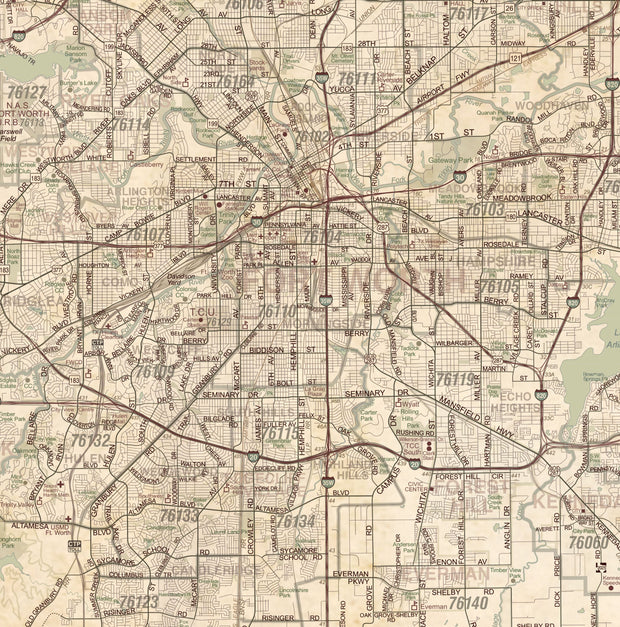
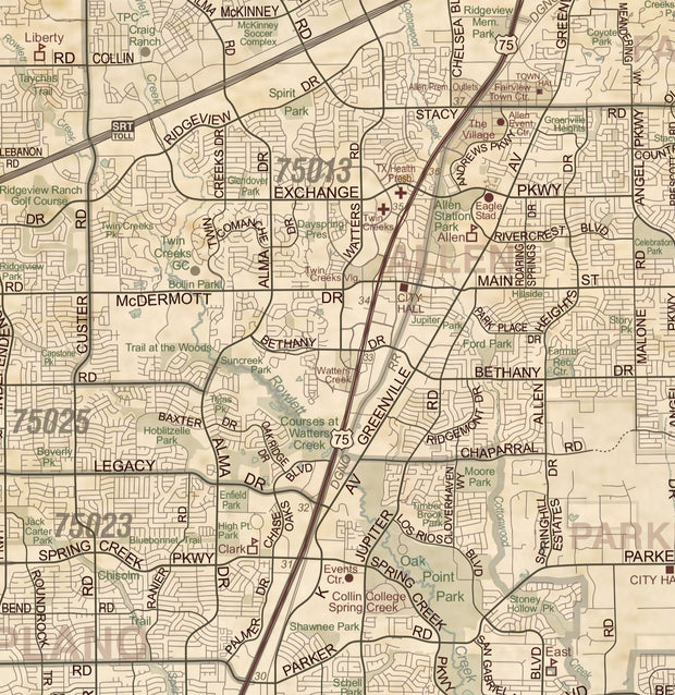
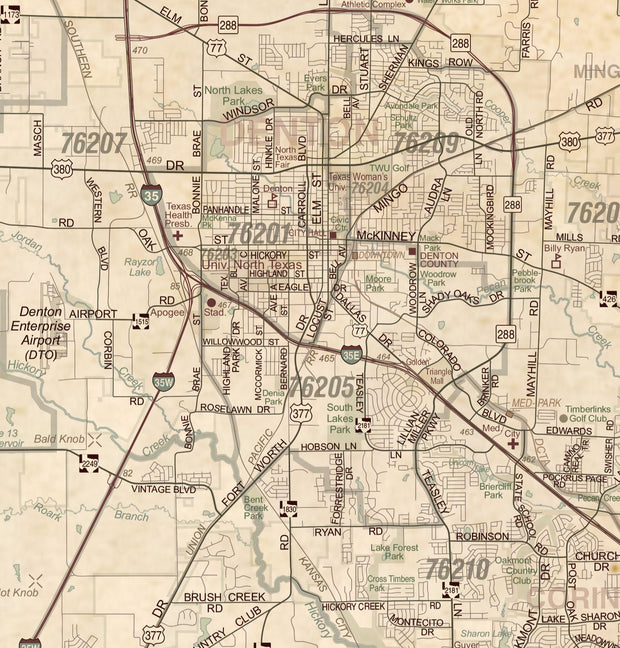
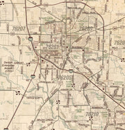
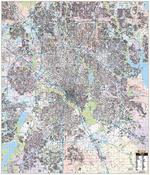
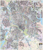
- Mapsco cartography, street level detail
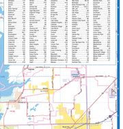
- Full index in separate book
- Compatible with Mapsco Street Guide
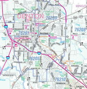
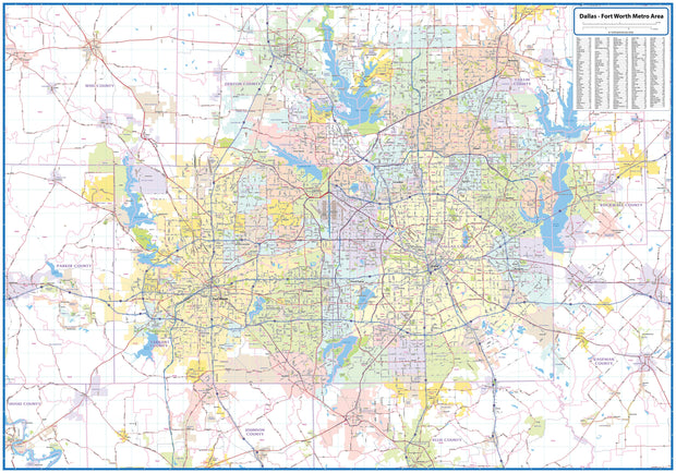
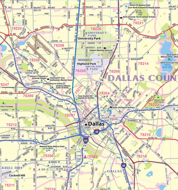
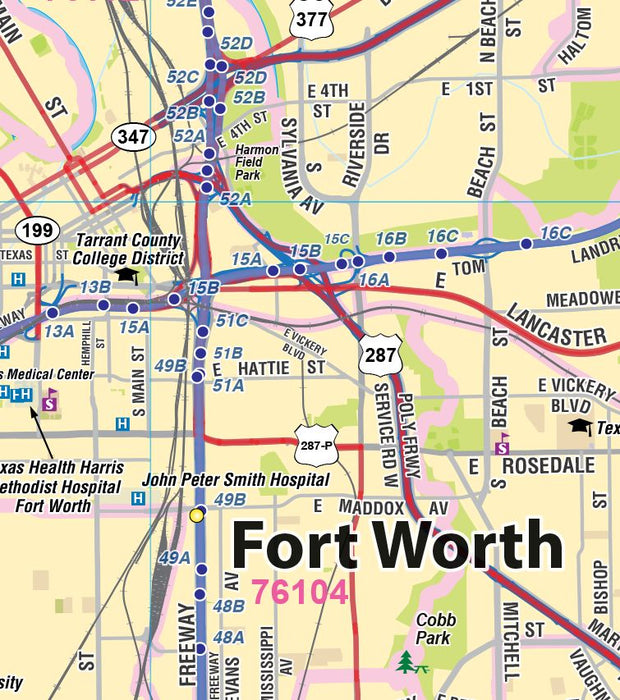
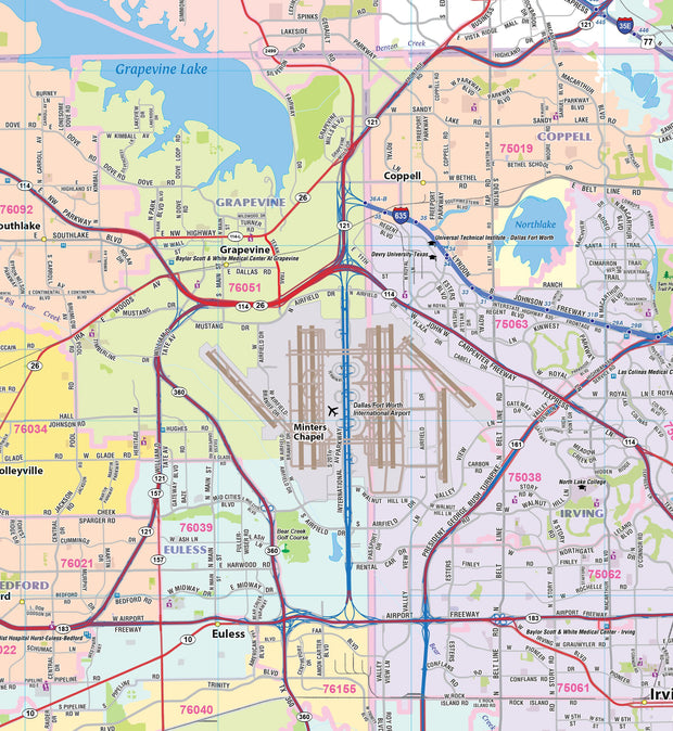
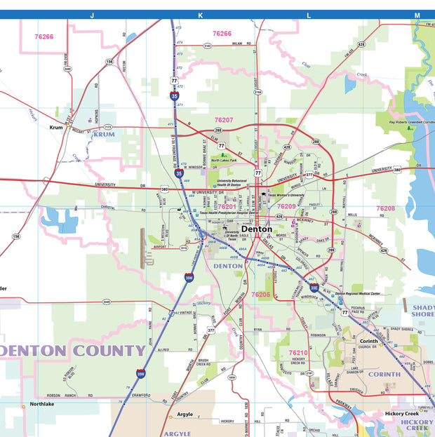
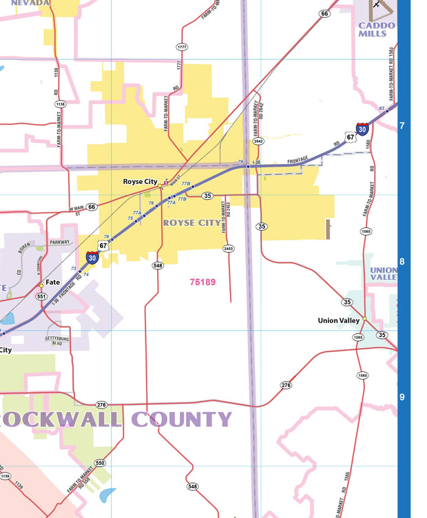
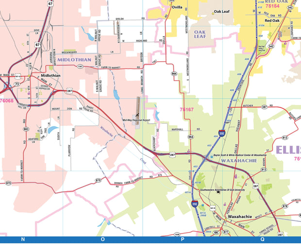
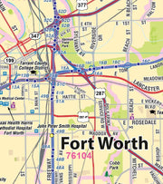
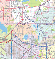
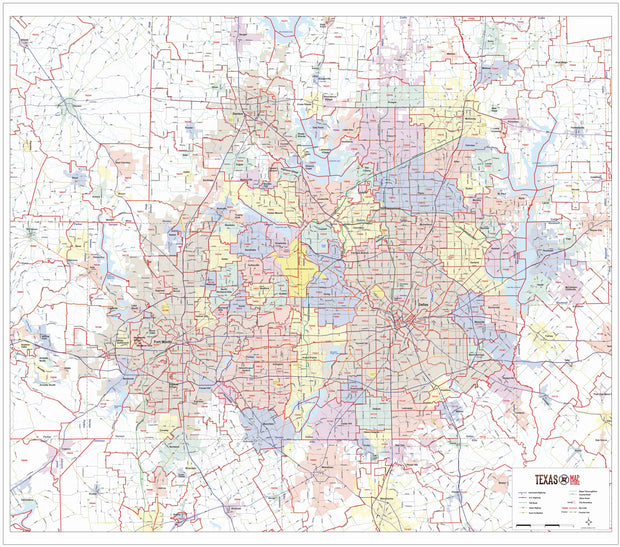
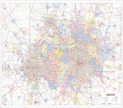
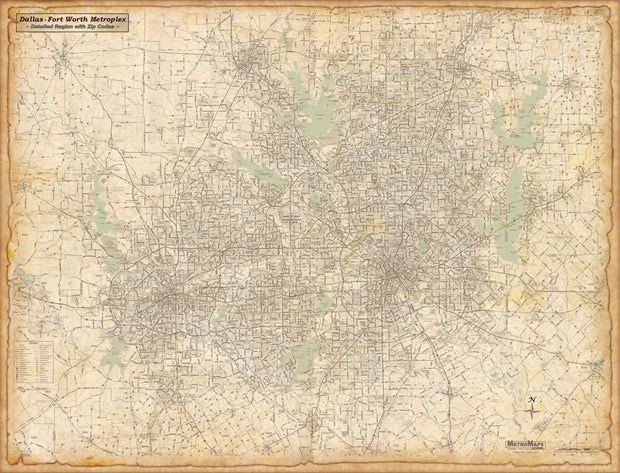
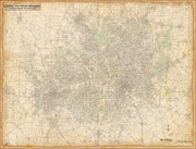
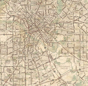
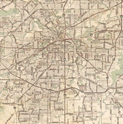
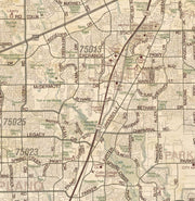
This Dallas Wall Map by Mapsco (Kappa Map Group) measures 60" x 70" (5' W x 5'10" H) and features up-to-date cartography, with new streets and changes in complete street detail and updated to match the Mapsco Street Guide. The map is printed in color, with a markable and washable laminated surface and comes with a street index in a separate booklet.
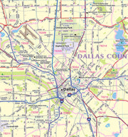
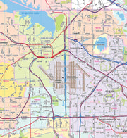
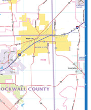
The area of coverage includes all of the city of Dallas and surrounding areas with the following boundaries:
- North to Plano and Parker
- South to cover all of the cities of Wilmer and Desoto
- East to cover all of the cities of Mesquite and Sachse
- West to the Dallas County line and Dallas/Fort Worth International Airport
Details and features include:
Airports, block numbers, cemeteries, city limits, schools, fire & police stations, golf & country clubs, government buildings, hospitals, libraries, points of interest, post offices, railroads, parks, shopping centers, water features and zip codes and zip code boundaries.
Hanging strips are included, top and bottom, for easy wall mounting.