-22 in stock
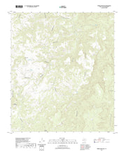
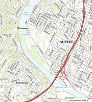
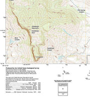
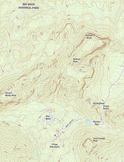
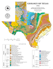
Learn more about the geological history of the rocks around you! This full-color map presents surface rock outcrop information - age, depositional environment, rock type, and names of formations - and includes major highways, towns, and landmarks. A stratigraphic column and mileage chart fill out the front of the map and various cross sections, inset maps showing gemstone locations, places of geological interest, fossil localities and much more, cover the back.