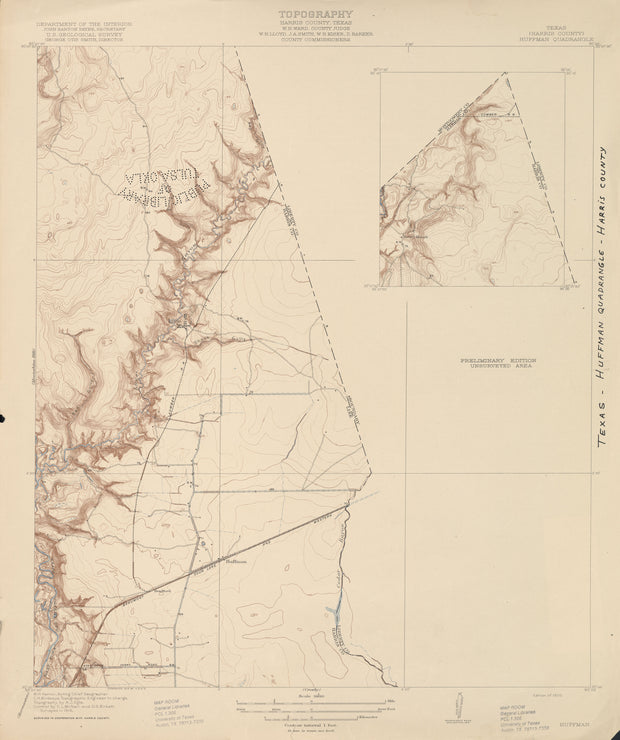
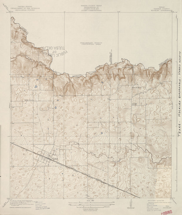
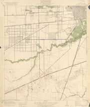
COUNTY: Harris; SCALE: 1:31,680 This is a high-resolution reproduction printed on 24 lb. bond paper. PLEASE NOTE: This map does not cover the entire county. The principle county within which the map coverage lies is listed first with partial coverage as noted.
22"W x 30"H
Hockley 1916, USGS
HST0031
Regular price
$29.95
0 in stock
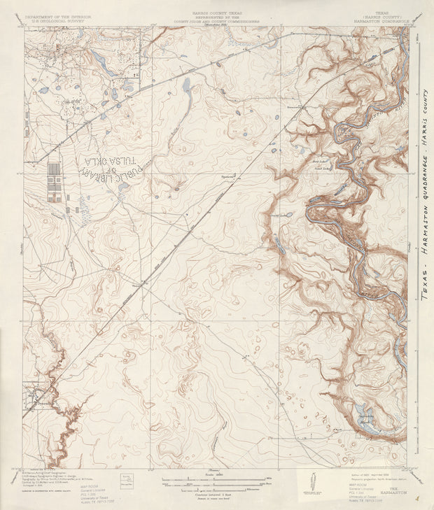
COUNTY: Harris; SCALE: 1:31,680 This is a high-resolution reproduction printed on 24 lb. bond paper. PLEASE NOTE: This map does not cover the entire county. The principle county within which the map coverage lies is listed first with partial coverage as noted.
22"W x 30"H
Harmaston 1916, USGS
HST0029
Regular price
$29.95
-1 in stock
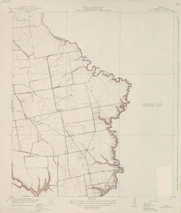
COUNTY: Harris; SCALE: 1:31,680 This is a high-resolution reproduction printed on 24 lb. bond paper. PLEASE NOTE: This map does not cover the entire county. The principle county within which the map coverage lies is listed first with partial coverage as noted.
22"W x 30"H
Cedar Bayou 1916, USGS
HST0023
Regular price
$29.95
0 in stock
COUNTY: Harris; SCALE: 1:31,680 This is a high-resolution reproduction printed on 24 lb. bond paper. PLEASE NOTE: This map does not cover the entire county. The principle county within which the map coverage lies is listed first with partial coverage as noted.
22"W x 30"H
Bellaire 1915, USGS
HST0021
Regular price
$29.95
0 in stock
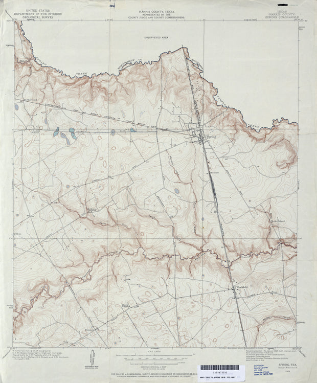
COUNTY: Harris; SCALE: 1:31,680 This is a high-resolution reproduction printed on 24 lb. bond paper. PLEASE NOTE: This map does not cover the entire county. The principle county within which the map coverage lies is listed first with partial coverage as noted.
22"W x 30"H
Spring 1916, USGS
HST0968
Regular price
$29.95
0 in stock
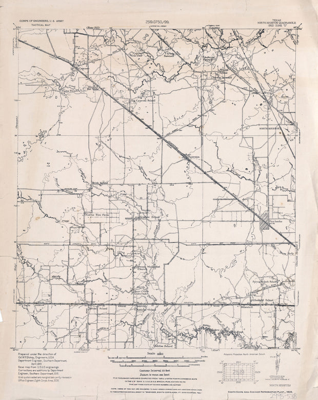
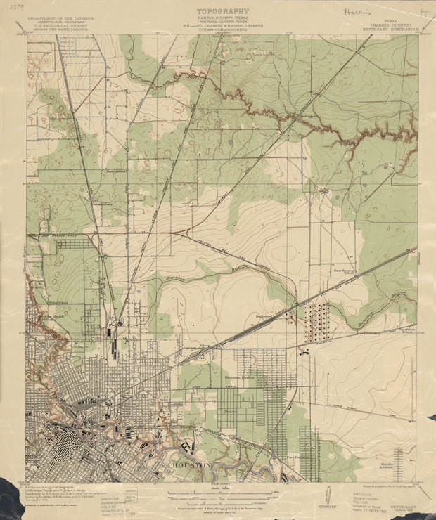
COUNTY: Harris; SCALE: 1:24,000
This is a high-resolution reproduction printed on 24 lb. bond paper.
PLEASE NOTE: This map does not cover the entire county. The principle county within which the map coverage lies is listed first with partial coverage as noted.
22"W x 30"H
North Houston 1928, US Army Corps of Engineers
HST0891
Regular price
$29.95
0 in stock
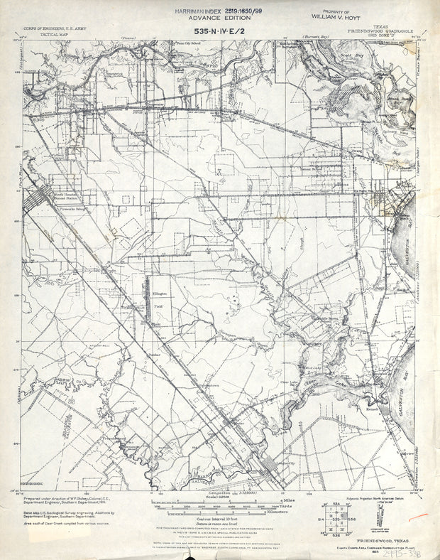
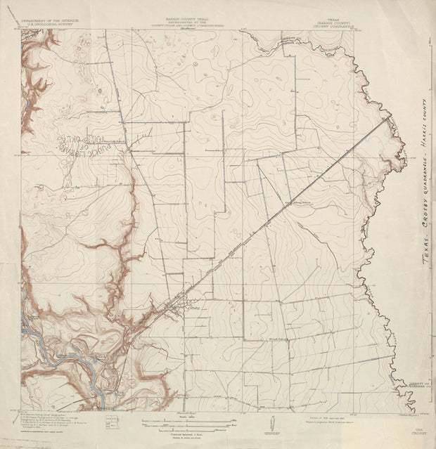
COUNTY: Harris; SCALE: 1:62,500
This is a high-resolution reproduction printed on 24 lb. bond paper.
PLEASE NOTE: This map does not cover the entire county. The principle county within which the map coverage lies is listed first with partial coverage as noted.
This is a high-resolution reproduction printed on 24 lb. bond paper.
PLEASE NOTE: This map does not cover the entire county. The principle county within which the map coverage lies is listed first with partial coverage as noted.
This is a high-resolution reproduction printed on 24 lb. bond paper.
PLEASE NOTE: This map does not cover the entire county. The principle county within which the map coverage lies is listed first with partial coverage as noted.
Crosby 1916, USGS
HST0135
Regular price
$29.95
0 in stock
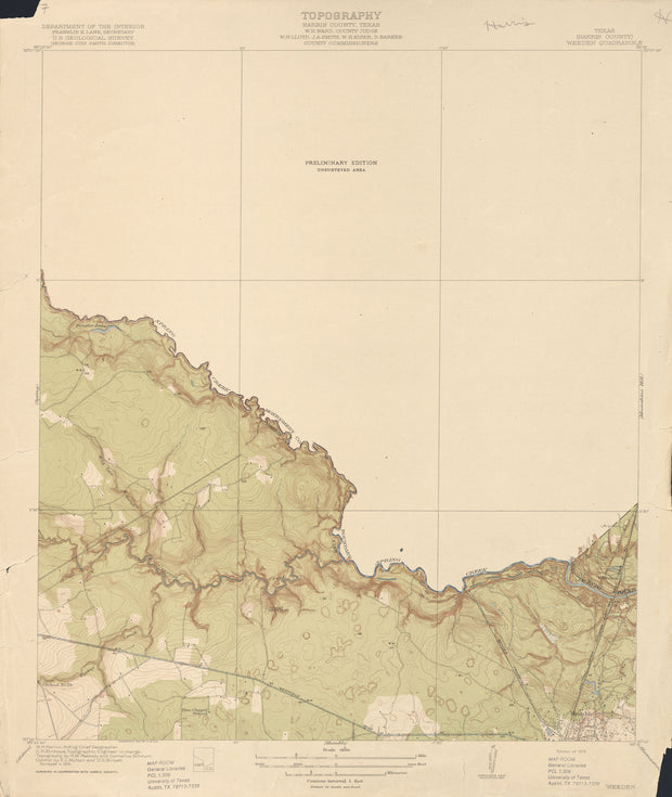
COUNTY: Harris; SCALE: 1:31,680
This is a high-resolution reproduction printed on 24 lb. bond paper.
PLEASE NOTE: This map does not cover the entire county. The principle county within which the map coverage lies is listed first with partial coverage as noted.
22"W x 30"H
Weeden 1916, USGS
HST0045
Regular price
$29.95
0 in stock
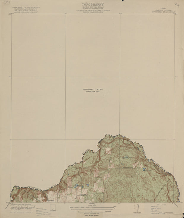
COUNTY: Harris; SCALE: 1:31,680 This is a high-resolution reproduction printed on 24 lb. bond paper. PLEASE NOTE: This map does not cover the entire county. The principle county within which the map coverage lies is listed first with partial coverage as noted.
22"W x 30"H
Stuebner 1916, USGS
HST0042
Regular price
$29.95
0 in stock
COUNTY: Harris; SCALE: 1:31,680 This is a high-resolution reproduction printed on 24 lb. bond paper. PLEASE NOTE: This map does not cover the entire county. The principle county within which the map coverage lies is listed first with partial coverage as noted.
22"W x 30"H
Settegast 1916, USGS
HST0041
Regular price
$29.95
0 in stock
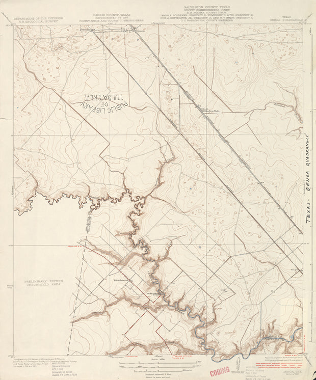
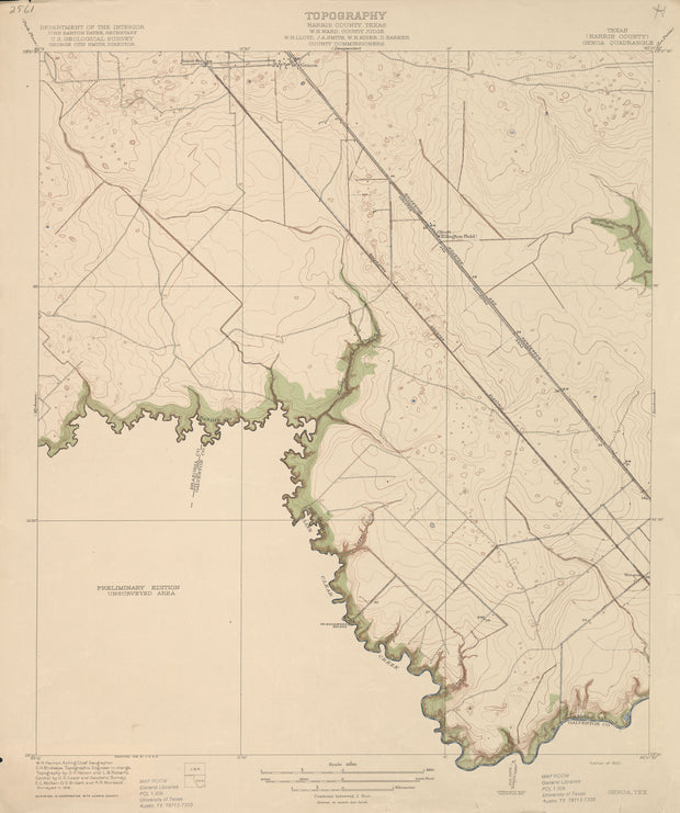
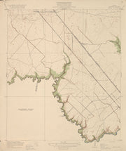
COUNTY: Harris; SCALE: 1:31,680 This is a high-resolution reproduction printed on 24 lb. bond paper. PLEASE NOTE: This map does not cover the entire county. The principle county within which the map coverage lies is listed first with partial coverage as noted.
22"W x 30"H
Genoa 1916, USGS
HST0028
Regular price
$29.95
0 in stock
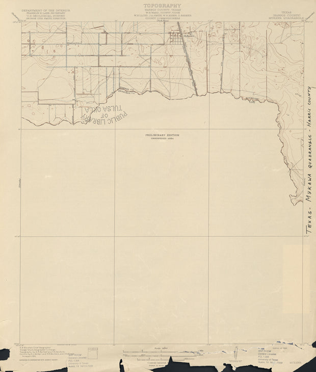
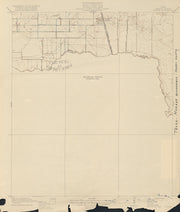
COUNTY: Harris; SCALE: 1:31,680 This is a high-resolution reproduction printed on 24 lb. bond paper. PLEASE NOTE: This map does not cover the entire county. The principle county within which the map coverage lies is listed first with partial coverage as noted.
22"W x 30"H
Mykawa 1915, USGS
HST0038
Regular price
$29.95
0 in stock
COUNTY: Harris; SCALE: 1:31,680 This is a high-resolution reproduction printed on 24 lb. bond paper. PLEASE NOTE: This map does not cover the entire county. The principle county within which the map coverage lies is listed first with partial coverage as noted.
22"W x 30"H
Moonshine Hill 1916, USGS
HST0036
Regular price
$29.95
-1 in stock
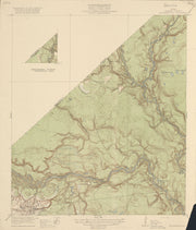
COUNTY: Harris; SCALE: 1:31,680 This is a high-resolution reproduction printed on 24 lb. bond paper. PLEASE NOTE: This map does not cover the entire county. The principle county within which the map coverage lies is listed first with partial coverage as noted.
22"W x 30"H
Fauna 1916, USGS
HST0027
Regular price
$29.95
0 in stock
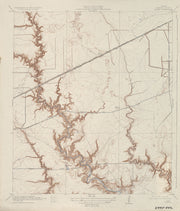
COUNTY: Harris; SCALE: 1:31,680 This is a high-resolution reproduction printed on 24 lb. bond paper. PLEASE NOTE: This map does not cover the entire county. The principle county within which the map coverage lies is listed first with partial coverage as noted.
22"W x 30"H
Clodine 1915, USGS
HST0024
Regular price
$29.95
0 in stock
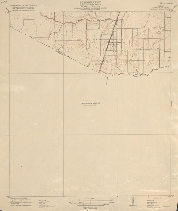
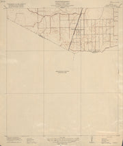
COUNTY: Harris; SCALE: 1:31,680 This is a high-resolution reproduction printed on 24 lb. bond paper. PLEASE NOTE: This map does not cover the entire county. The principle county within which the map coverage lies is listed first with partial coverage as noted.
22"W x 30"H
Almeda 1915, USGS
HST0020
Regular price
$29.95
0 in stock
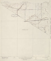
COUNTY: Harris; SCALE: 1:31,680 This is a high-resolution reproduction printed on 24 lb. bond paper. PLEASE NOTE: This map does not cover the entire county. The principle county within which the map coverage lies is listed first with partial coverage as noted.