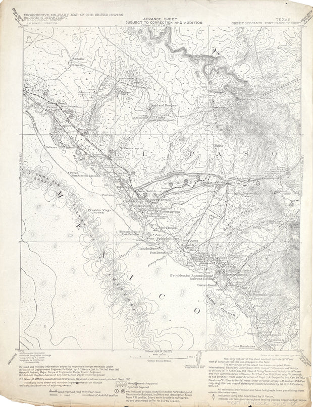
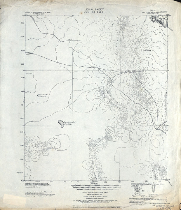
COUNTY: Hudspeth (partial El Paso); SCALE: 1:62,500
This is a high-resolution reproduction printed on 24 lb. bond paper.
PLEASE NOTE: This map does not cover the entire county. The principle county within which the map coverage lies is listed first with partial coverage as noted.
22"W x 30"H
Fort Hancock 1916, US Army Corps of Engineers
HST0821
Regular price
$29.95
-2 in stock
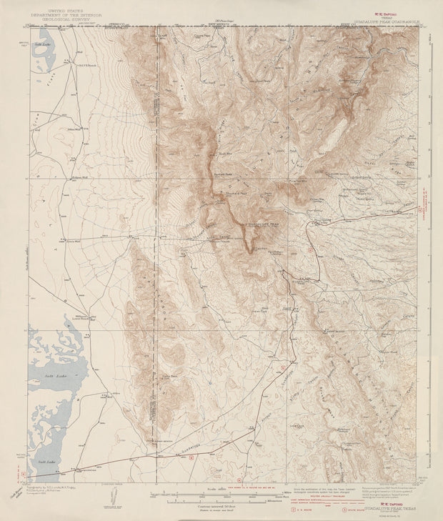
COUNTY: El Paso (now Hudspeth); SCALE: 1:125,000
This is a high-resolution reproduction printed on 24 lb. bond paper.
PLEASE NOTE: This map does not cover the entire county. The principle county within which the map coverage lies is listed first with partial coverage as noted.
22"W x 30"H
Guadalupe Peak 1933, USGS
HST0193
Regular price
$29.95
-2 in stock
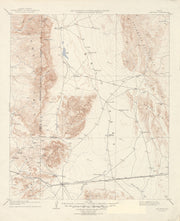
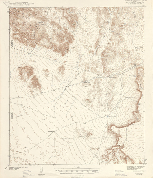
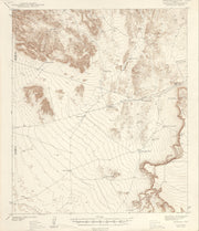
COUNTY: Hudspeth/Culberson; SCALE: 1:62,500
This is a high-resolution reproduction printed on 24 lb. bond paper.
PLEASE NOTE: This map does not cover the entire county. The principle county within which the map coverage lies is listed first with partial coverage as noted.
This is a high-resolution reproduction printed on 24 lb. bond paper.
PLEASE NOTE: This map does not cover the entire county. The principle county within which the map coverage lies is listed first with partial coverage as noted.
22"W x 30"H
Borrego 1940, USGS
HST0094
Regular price
$29.95
0 in stock
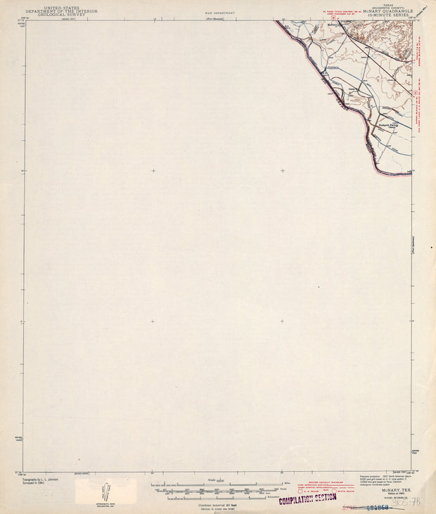
COUNTY: Hudspeth (partial El Paso); SCALE: 1:62,500
This is a high-resolution reproduction printed on 24 lb. bond paper.
PLEASE NOTE: This map does not cover the entire county. The principle county within which the map coverage lies is listed first with partial coverage as noted.
22"W x 30"H
McNary 1941, USGS
HST0881
Regular price
$29.95
0 in stock
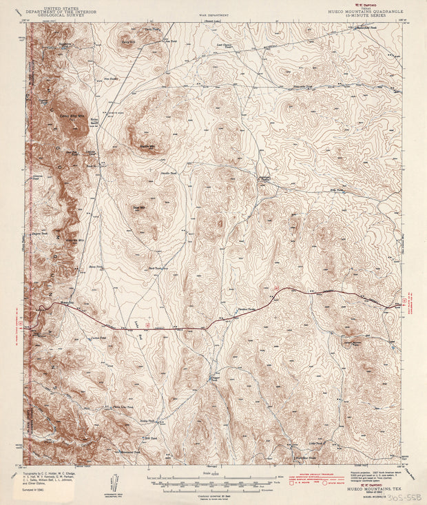
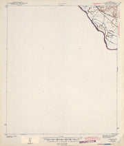
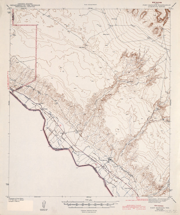
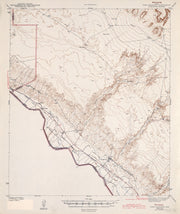
COUNTY: Hudspeth; SCALE: 1:62,500
This is a high-resolution reproduction printed on 24 lb. bond paper.
PLEASE NOTE: This map does not cover the entire county. The principle county within which the map coverage lies is listed first with partial coverage as noted.
This is a high-resolution reproduction printed on 24 lb. bond paper.
PLEASE NOTE: This map does not cover the entire county. The principle county within which the map coverage lies is listed first with partial coverage as noted.
22"W x 30"H
Fort Hancock 1941, USGS
HST0822
Regular price
$29.95
0 in stock
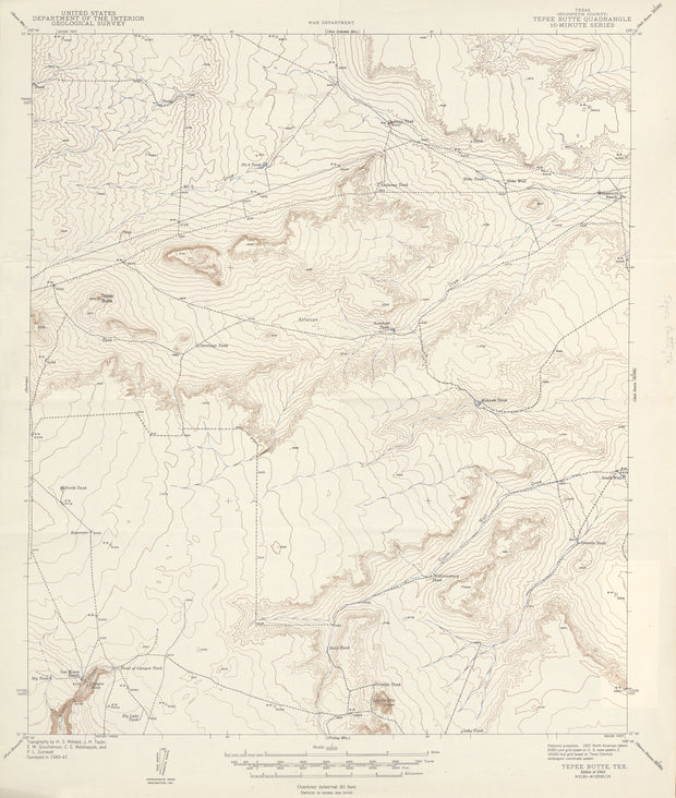
COUNTY: Hudspeth (partial El Paso); SCALE: 1:62,500
This is a high-resolution reproduction printed on 24 lb. bond paper.
PLEASE NOTE: This map does not cover the entire county. The principle county within which the map coverage lies is listed first with partial coverage as noted.
22"W x 30"H
Tepee Butte 1941, USGS
HST0375
Regular price
$29.95
0 in stock
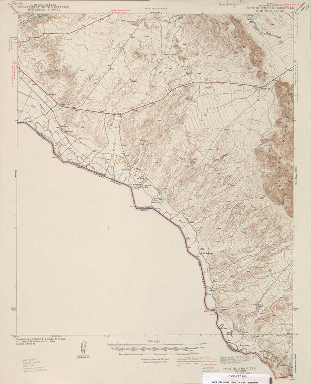
COUNTY: Hudspeth; SCALE: 1:62,500
This is a high-resolution reproduction printed on 24 lb. bond paper.
PLEASE NOTE: This map does not cover the entire county. The principle county within which the map coverage lies is listed first with partial coverage as noted.
22"W x 30"H
Fort Quitman 1941, USGS
HST0172
Regular price
$29.95
0 in stock
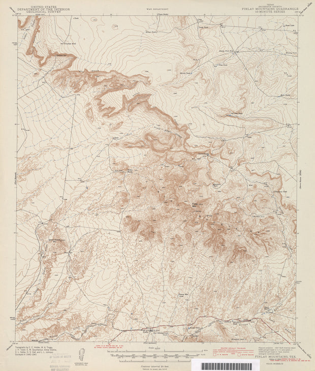
COUNTY: Hudspeth; SCALE: 1:62,500
This is a high-resolution reproduction printed on 24 lb. bond paper.
PLEASE NOTE: This map does not cover the entire county. The principle county within which the map coverage lies is listed first with partial coverage as noted.
22"W x 30"H
Finlay Mountains 1941, USGS
HST0163
Regular price
$29.95
0 in stock
COUNTY: Hudspeth; SCALE: 1:62,500
This is a high-resolution reproduction printed on 24 lb. bond paper.
PLEASE NOTE: This map does not cover the entire county. The principle county within which the map coverage lies is listed first with partial coverage as noted.