0 in stock
- Laminated with wood hanging rails
- 72" W x 52" H
- Mapsco Cartography
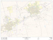
- Coverage includes Midland and Odessa (click for details)
- Includes Zip Code Boundaries
This Midland Odessa Combo Wall Map by Mapsco/ Kappa Map Group measures 72" x 52" and features up-to-date cartography, with new streets and changes in complete street detail. The map is printed in color, with a markable and washable laminated surface with hanging rails for easy hanging. Streets are indexed in a separate book.
The area of coverage includes all of Midland and Odessa with the following boundaries:
- North: to the Midland-Martin and Ector-Andrews County lines.
- South: to E. Loop 338 and Dora Roberts Road
- East: to the intersection of I-20 and TX-250 S Loop
- West: to Odessa and past Moss Ave
Details and features include:
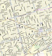
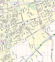
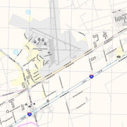
Airports, All Streets & Highways, Block Numbers, Cemeteries, City Limits (color coded), Educational Institutions, Fire & Police Stations, Golf & Country Clubs, Government Buildings, Hospitals, Libraries, Points of Interest, Post Offices, Railroads, Recreational Parks, Water Features, and ZIP Codes & Boundaries.
Click
HERE for a detail view of this map


