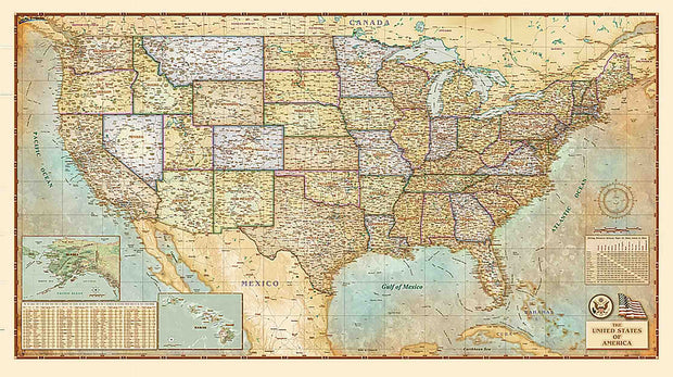
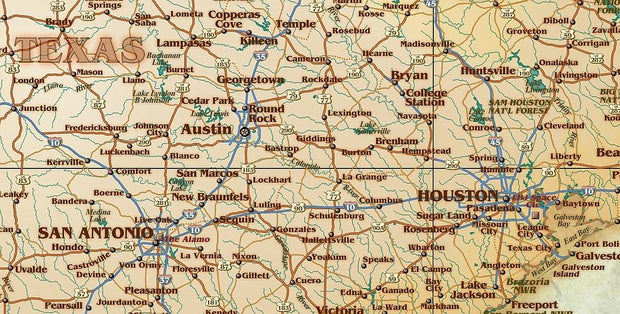
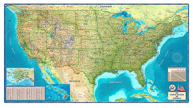
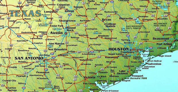
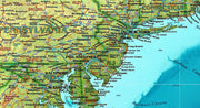
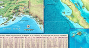
Cities, State Borders, Highways, Latitude, Longitude, Points of Interest, Capitols
Classic Antique Atlas Style
Works beautifully with dark wood furniture and trim, a designers delight
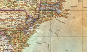
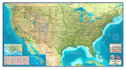
This Antiqued USA Wall Map is beautifully illustrated with subtle earth tone hues. The detail is highly legible with state borders clearly defined. In classic Antique Atlas style, this map can be used for general reference, to track current events, or as a piece of art. Decorators will find the color scheme works beautifully with dark wood furniture and trim. This map is a designer's delight.
This map comes rolled and ships in a sturdy cardboard tube.
USA Wall Map by Compart Maps
USWM004
Regular price
$69.95
0 in stock
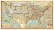
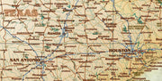
Cities, State Borders, HIghways, Latitude, Longitude, Points of Interest, Capitols
Illustrated using vibrant greens, blues and browns
Perfect for an office, classroom or library
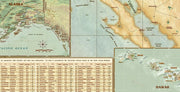
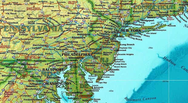
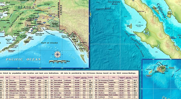
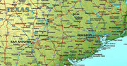
The Compart Maps USA Wall Map is beautifully illustrated with vibrant greens, browns and blues. The detail is highly legible with state borders clearly defined. In classic Antique Atlas style, this map can be used for general reference, to track current events, or as a piece of art. Perfect for an office, classroom or decorating a library, this map is a designer's delight.
This map is printed on 36 lb premium coated paper and comes rolled and shipped in a sturdy cardboard tube.