0 in stock
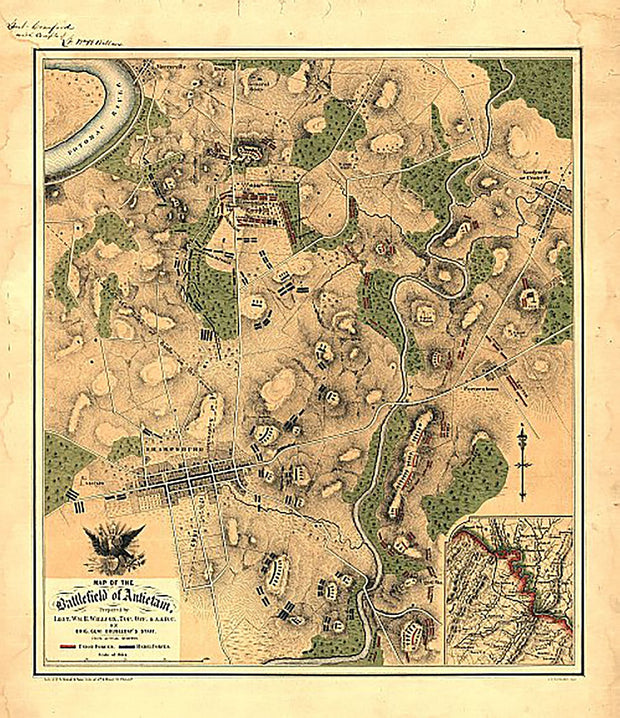
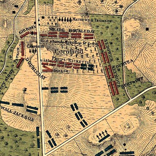
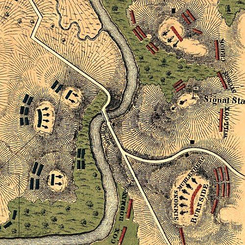
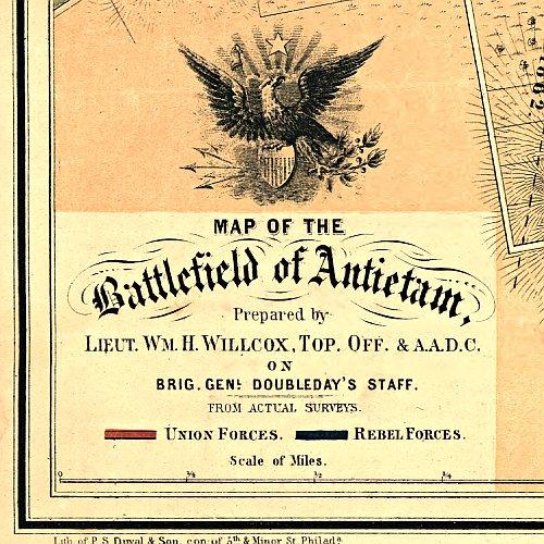
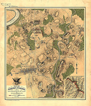
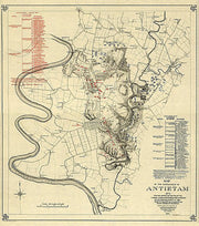
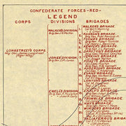
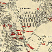
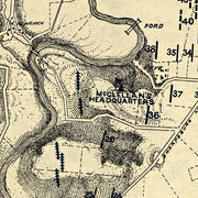
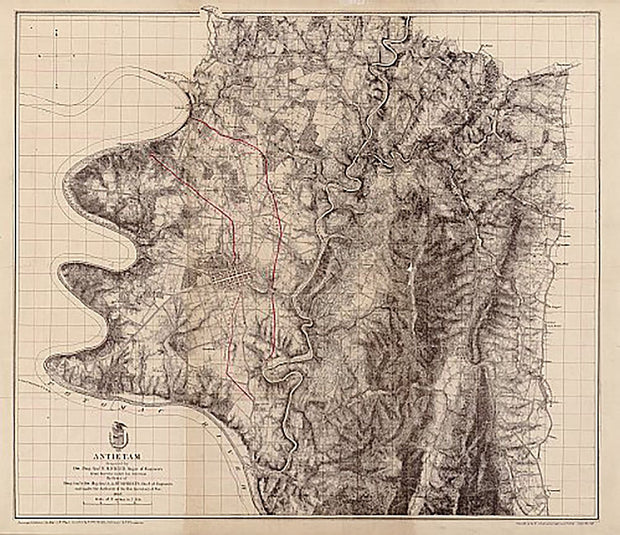
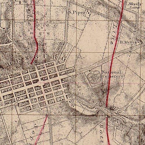
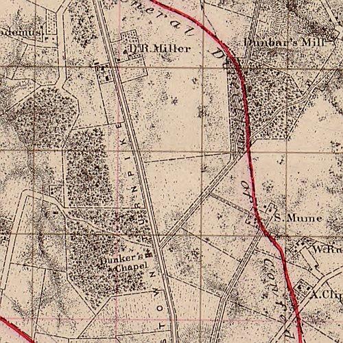
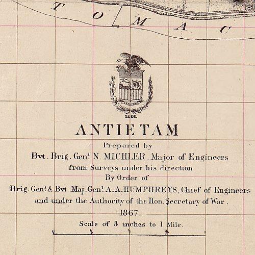
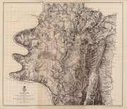
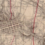
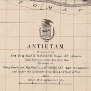
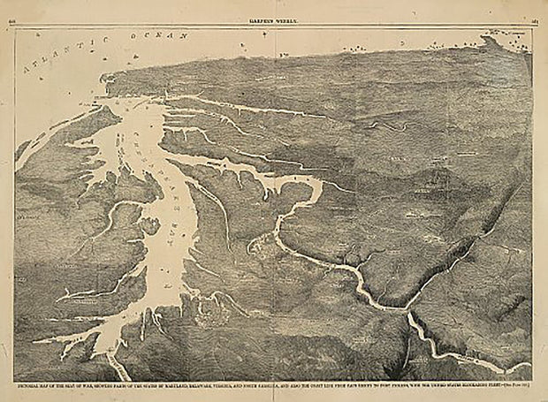
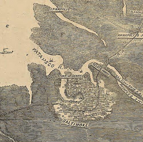
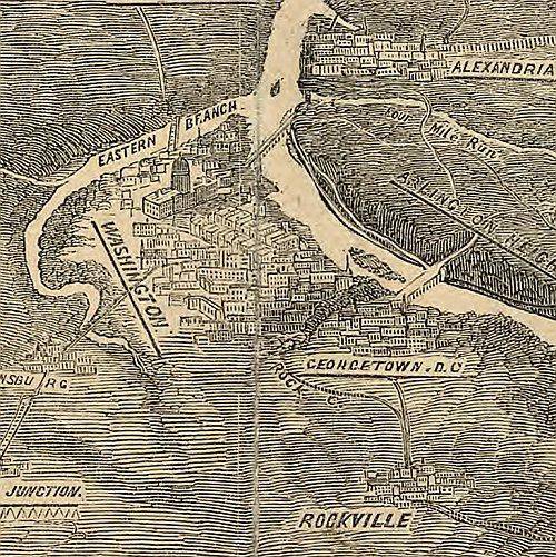
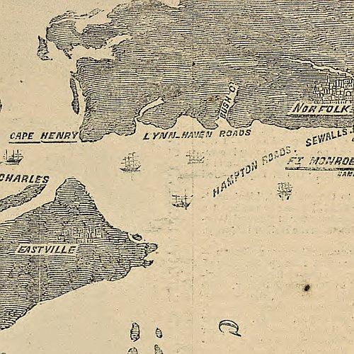
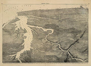
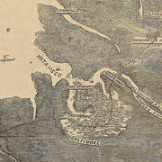
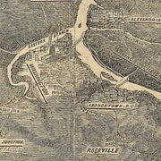
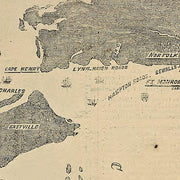
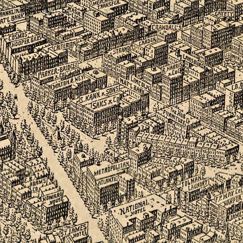
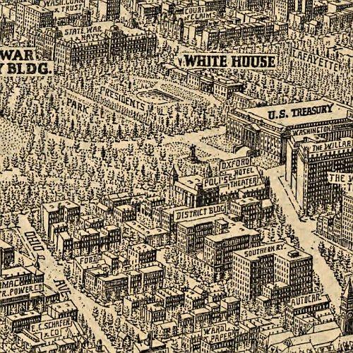
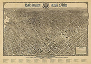
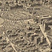
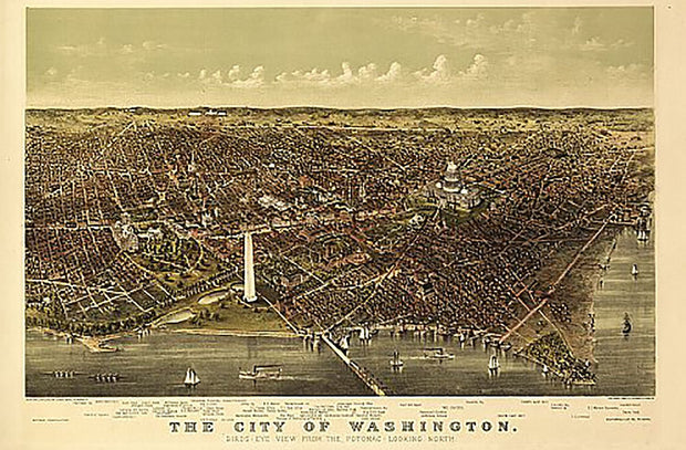
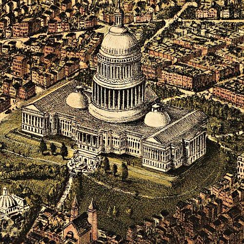
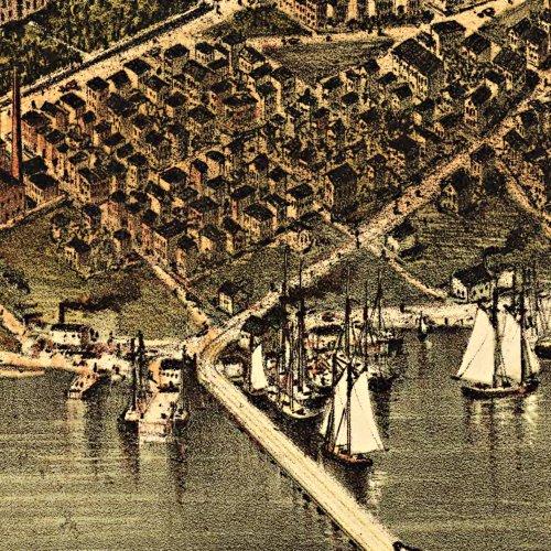
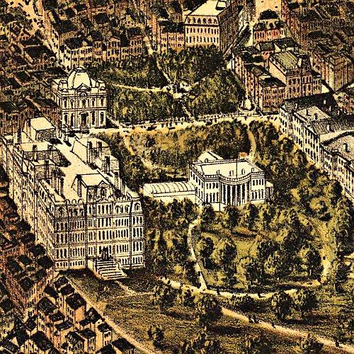
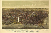
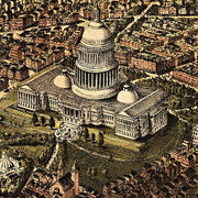
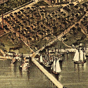
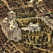
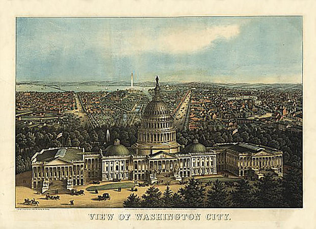
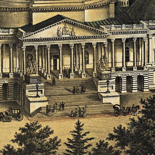
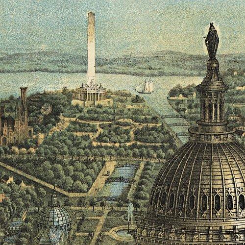
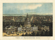
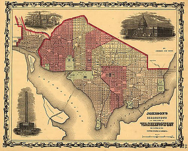
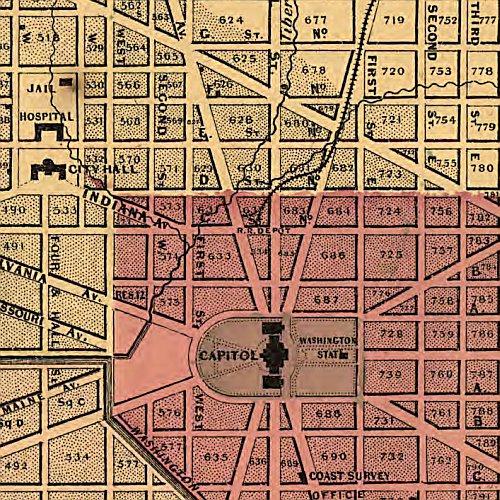
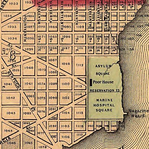
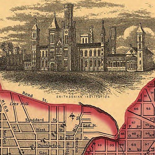
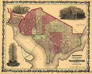
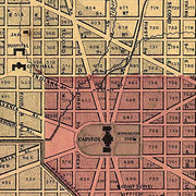
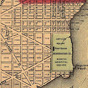
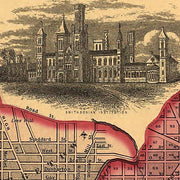
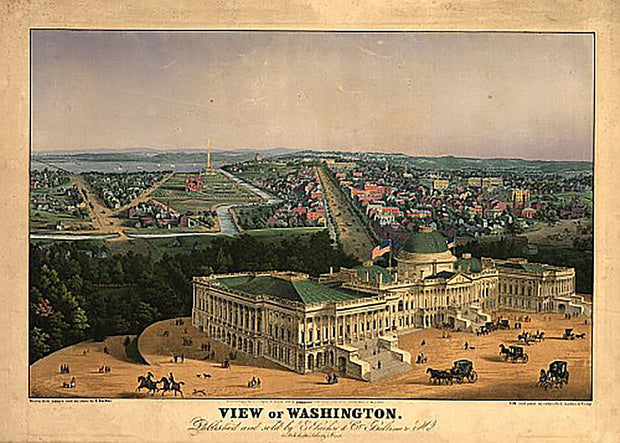
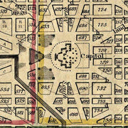
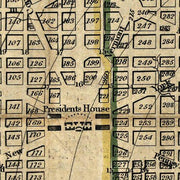
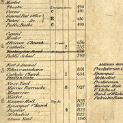
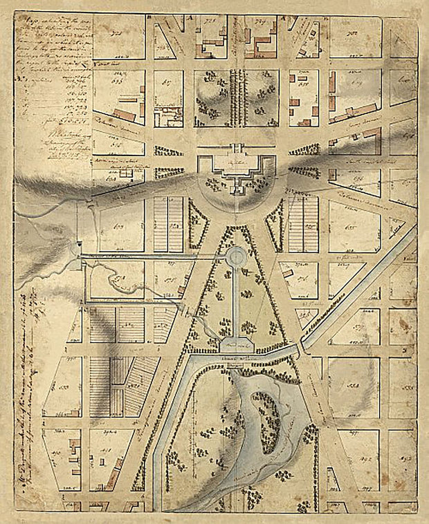
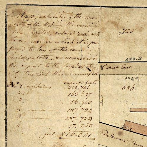
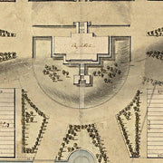
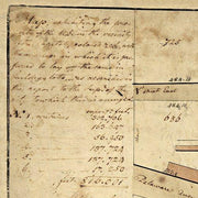
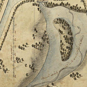
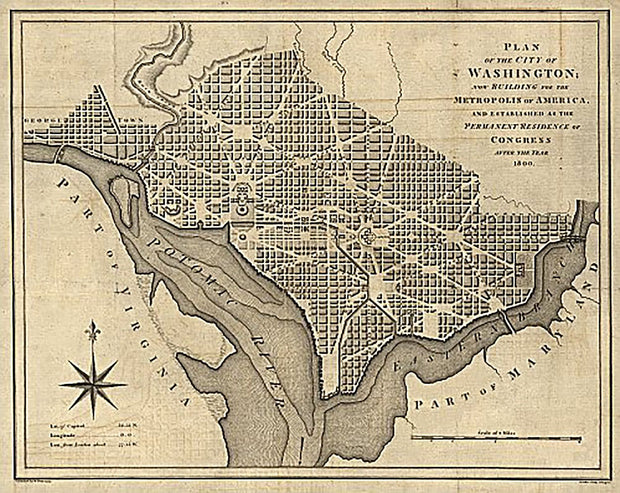
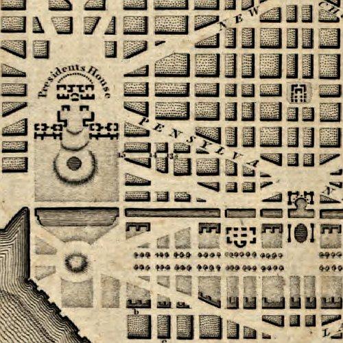
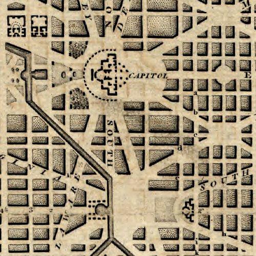
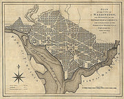
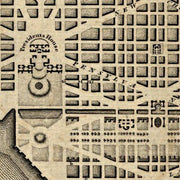
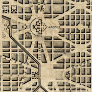
Pictorial map of the seat of war, showing parts of the states of Maryland, Delaware, Virginia, and North Carolina
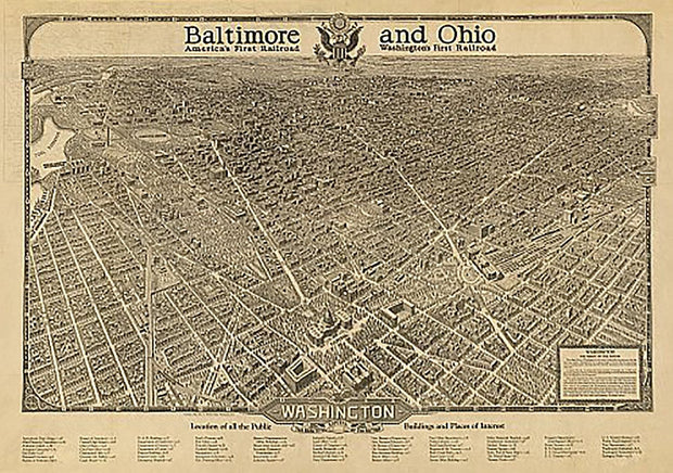
This beautiful antique map reproduction is printed on heavy acid-free stock with fade proof inks and is excellent for framing.
22"W x 16"H