This beautiful map, commissioned in 1986 to commemorate the Texas Sesquicentennial by artist and master cartographer John Davis, depicts the historic events that transpired during the turbulent years of the Texas revolution. Hand drawn, with exquisite color and detail, it features battle sites, roads and trails and hundreds of early settlements.
Celebrating the storied days of 1835-1836, Davis meticulously locates each of the 48 battles of the Texas Revolution and territory controlled by Native American tribes such as the Comanche, Cherokee, Caddo, Kickapoo, Pawnee and Alabama Coushatta.
The map also contains an inset view of the full Republic of Texas at that time and a table in the lower-right which lists facts about important battles.
Printed on a 26" W x 32" H sheet of sturdy, art-gallery quality parchment stock it is especially suitable for framing.
In order to make sure it arrives safely we carefully roll the map and insert it in to a protective poly tubing sleeve and then it is inserted in a heavy cardboard tube for safe handling all the way to its destination.
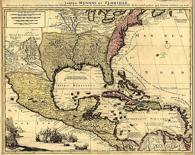
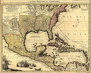
Although the text is in Latin, there is much that can be learned from this wonderful map from the early 18th century. It shows the extent of New Spain and Florida, New France, the American colonies, and the West Indies as well as rivers, towns, and trade routes. This beautiful reproduction is printed on heavy parchment style paper and is excellent for framing.
18" x 24"
Interested in a framed version of this map? Click HERE
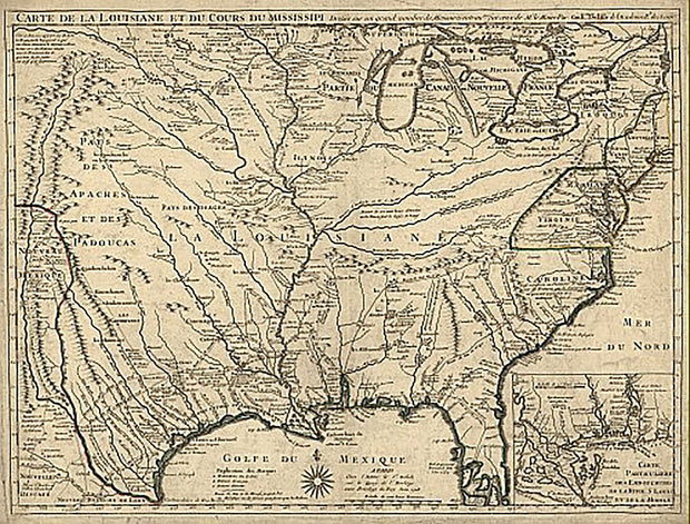
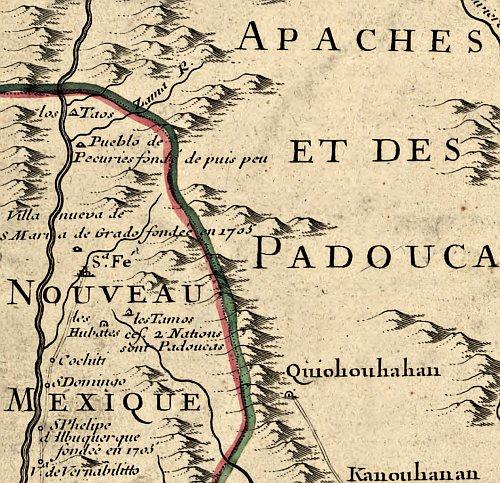
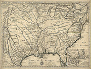
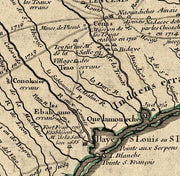
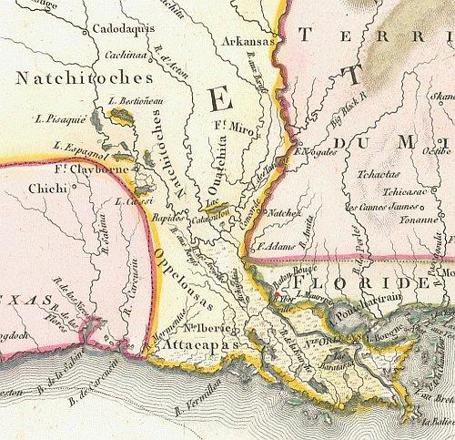
Carte de la Louisiane et du cours du Mississipi 1718
HIST840
Regular price
$39.95
-1 in stock
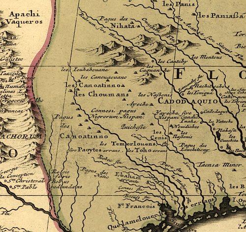
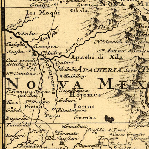
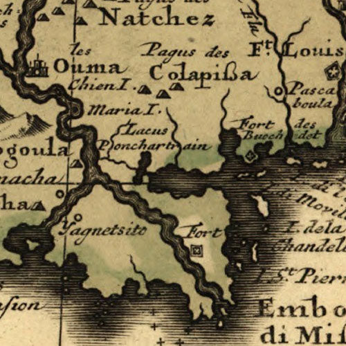
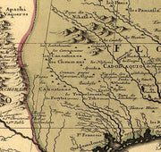
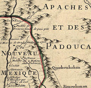
Known for its detailed depiction of the states adjacent to the Gulf of Mexico region and the Mississippi River, this map is also the first printed map to show a variant name for Texas (from the note "Mission de los Teijas etablie en 1716" in what is now East Texas) and has been called "the map that named Texas". It depicts the great French explorations of the era and was copied for decades. By Guillaume de L'Isle.
26"W x 18"H
Interested in a framed version of this map? Click HERE
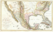
Carte du Mexique 1811
HIST730
Regular price
$39.95
-2 in stock
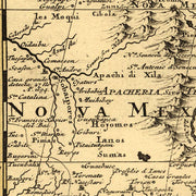
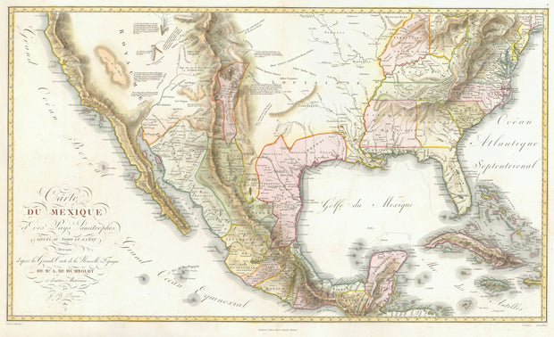
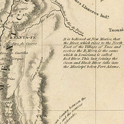
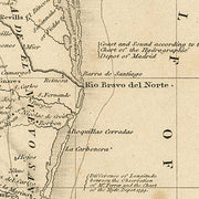
This beautiful map drawn by the famous German Baron, Alexander von Humboldt represents a synthesis of state-of-the-art cartographic knowledge of Mexico in the early years of the 19th century. It bears the full title "Carte du Mexique et des Pays Limitropher Situres ou Nort et E'est" and although the text is in French, American place names have English (or very close equivalent) spellings. This beautiful reproduction is printed on heavy parchment style paper and is excellent for framing.
36"W x 22'H
Interested in a framed version of this map? Click HERE
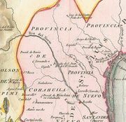
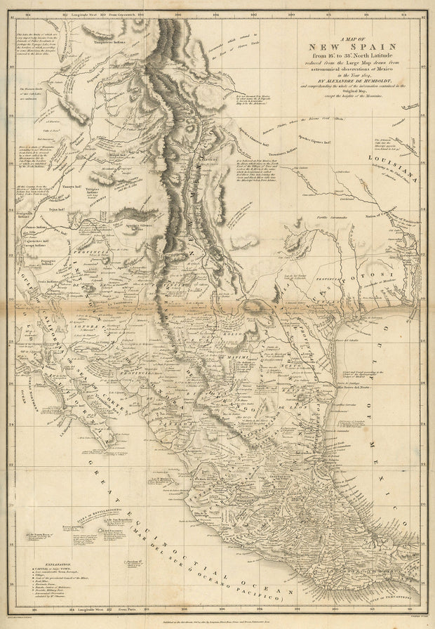
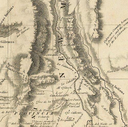
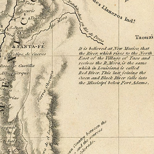
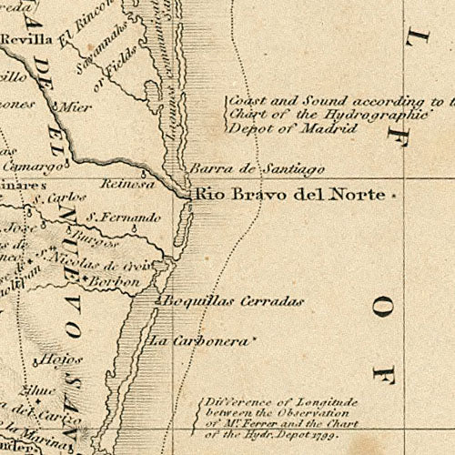
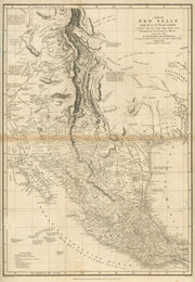
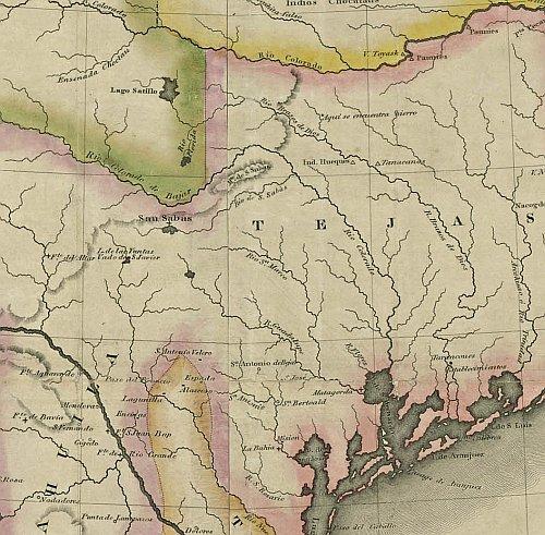
A Map of New Spain 1810
HIST400
Regular price
$39.95
-8 in stock
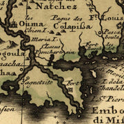
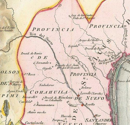
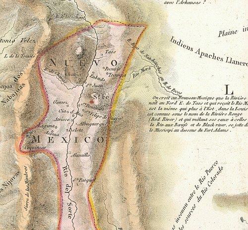
Drawn by Alexander von Humbolt, this great map dates from the period just after the Louisiana Purchase in 1803 when little was known about the "provincia" of Texas. Interesting note: longitude is shown as degrees "West from Paris". This beautiful reproduction is printed on heavy parchment style paper and is excellent for framing.
23" x 31"
Interested in a framed version of this map? Click HERE
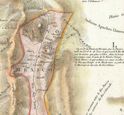
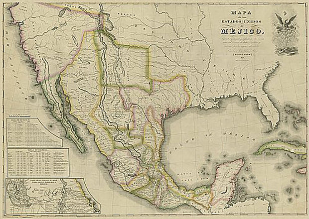
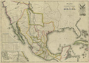
Mapa de los Estados Unidos de Mejico 1828
HIST270
Regular price
$39.95
-3 in stock
This map, in Spanish, covers the entirety of Mexico as it was in 1828 including what is now Texas, New Mexico, and California. It shows rivers, lakes, mountainous areas, mines, cities, towns, missions, forts, and Indian tribes, ruins, and villages. It features an inset map, 'Carta de los Caminos & c. desde Vera Cruz y Alvardo a Mejico (Map of the Roads and etc. from Vera Cruz and Alvardo to Mexico City)' as well as two tables: 1) Tabla de Distancias, 2) Tabla Estadistica (Statistics). This beautiful reproduction is printed on heavy, acid-free stock and is excellent for framing.
34"W x 24"H
Interested in a framed version of this map? Click HERE