Skip to content
  • Texas Maps
    • Road Atlases
    • Wall Maps
    • Folded Maps
  • City Maps
    • Texas City Wall Maps
    • Street Guides
    • Folded Maps
  • Historical Maps
    • Texas
    • Topographic
    • County
    • War
  • Topographic Maps
    • Any Current US Topographic Map
    • Current Texas Topographic Maps
    • Historical Texas Topographic Maps
  • Classroom Maps
    • Earth Sciences
    • Educational
    • Historical
  • Outdoor Maps
    • Fishing Maps
    • Birding Maps
    • Current Topo Maps
  • Decorative Maps
    • Historical
    • Reference
  • Everything Else
    • Other State
      • Other State Historical Maps
    • USA
      • USA Historical Maps
      • USA Road Atlases
      • USA Wall Maps
    • Country Maps
    • World
      • World Wall Maps
    • Globes
    • Custom
      • Custom Design Maps
  • Log in
Cart
Texas Map Store | Have a question? | email: truenorth@gvtc.com
  • My Account
    • Login
    • Contact Us
  • View Cart
Texas Map Store Texas Map Store Texas Map Store Texas Map Store
Log in Search Cart
  • Texas Maps
    • Road Atlases
    • Wall Maps
    • Folded Maps
  • City Maps
    • Texas City Wall Maps
    • Street Guides
    • Folded Maps
  • Historical Maps
    • Texas
    • Topographic
    • County
    • War
  • Topographic Maps
    • Any Current US Topographic Map
    • Current Texas Topographic Maps
    • Historical Texas Topographic Maps
  • Classroom Maps
    • Earth Sciences
    • Educational
    • Historical
  • Outdoor Maps
    • Fishing Maps
    • Birding Maps
    • Current Topo Maps
  • Decorative Maps
    • Historical
    • Reference
  • Everything Else
    • Other State
      • Other State Historical Maps
    • USA
      • USA Historical Maps
      • USA Road Atlases
      • USA Wall Maps
    • Country Maps
    • World
      • World Wall Maps
    • Globes
    • Custom
      • Custom Design Maps
Home / Austin Wall Maps / Texas City Wall Maps: Austin

Austin Wall Maps

  • View all
  • Austin Wall Maps
  • San Antonio Wall Maps
  • Texas City Wall Maps: Austin
  • Texas Wall Maps
  • TX City / County Maps. TX City / County Maps: Austin
  • TX City / County Maps. TX City / County Maps: Austin/Travis Co.
  • TX City / County Maps. TX City / County Maps: San Antonio
  • TX City / County Maps. TX City / County Maps: San Antonio/Bexar Co.
  • Universal Map. Universal Map: Wall Maps

Quick view
Austin Regional Area Major Arterial Wall Map
from $99.95
Quick view
Greater Austin Metro Area Wall Map
from $99.95
Quick view
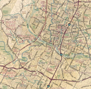
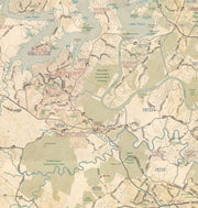
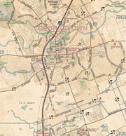
Austin Regional Area Major Arterial Wall Map - Antiqued Version
from $99.95
Austin Regional Area Major Arterial Wall Map
Austin Regional Area Major Arterial Wall Map by MetroMaps
Austin Regional Area Major Arterial Wall Map
Austin Regional Area Major Arterial Wall Map by MetroMaps
Austin Regional Area Major Arterial Wall Map

Austin Regional Area Major Arterial Wall Map

WALL043-1

Regular price $99.95
-6 in stock

  • Paper or laminated
  • Covers Austin Regional Area
  • Includes Zip Codes boundaries
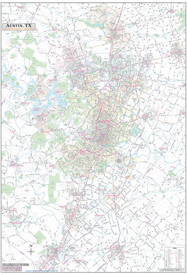
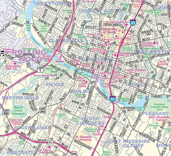
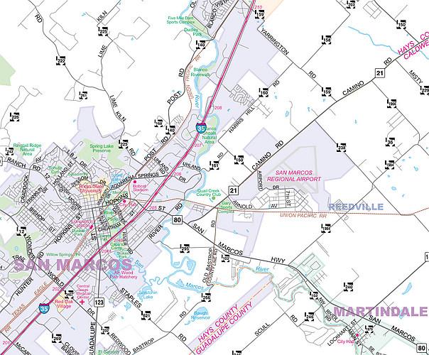
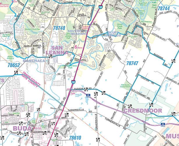
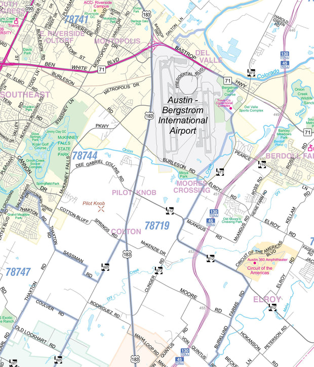
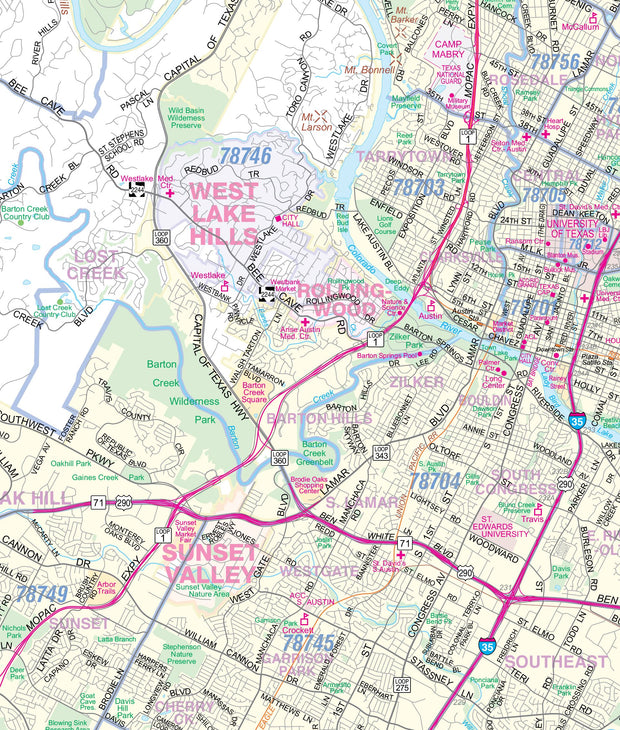
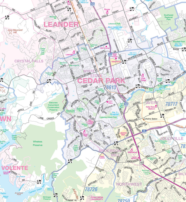
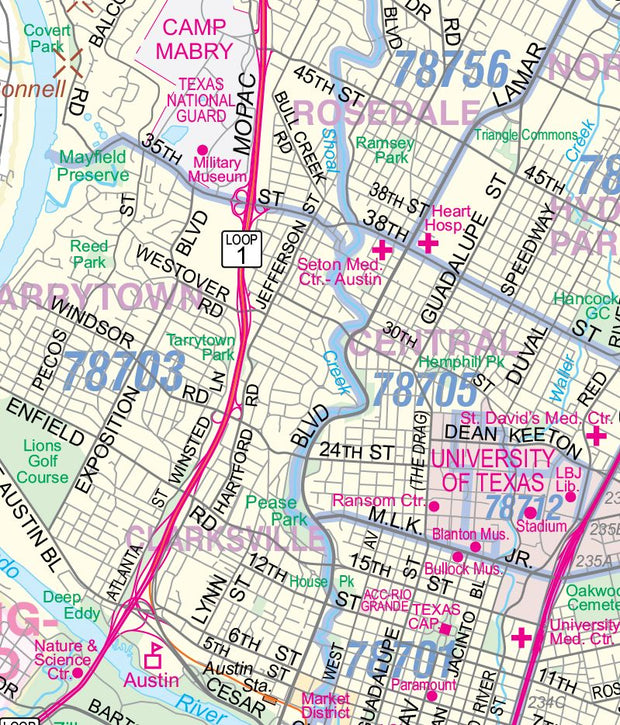
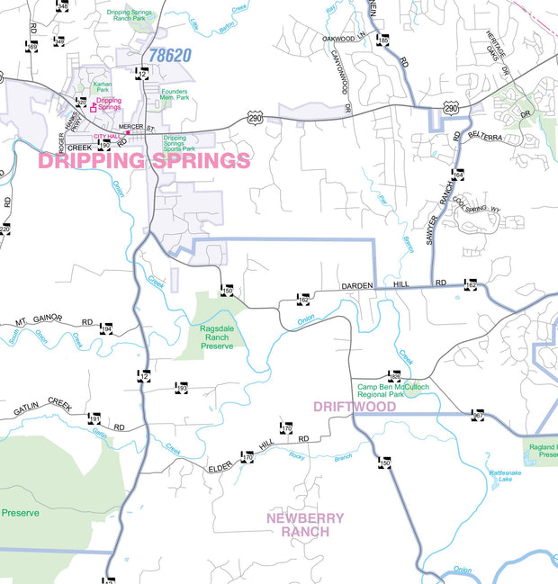
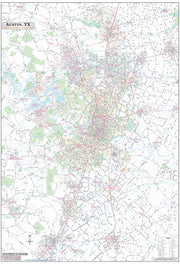
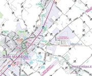
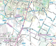
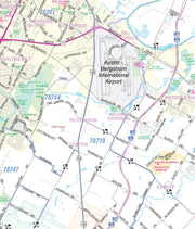
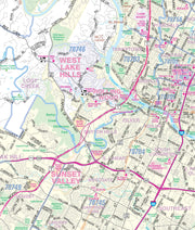
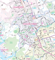
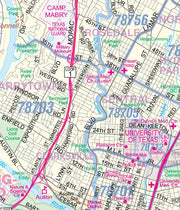
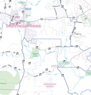
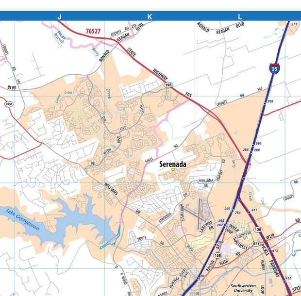
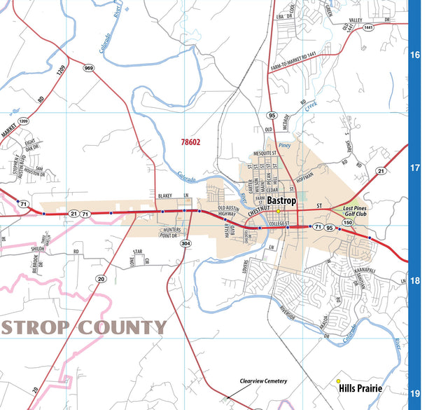
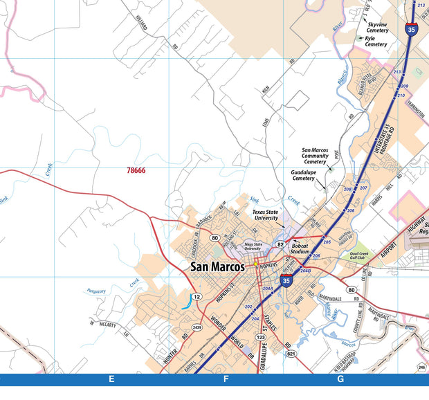
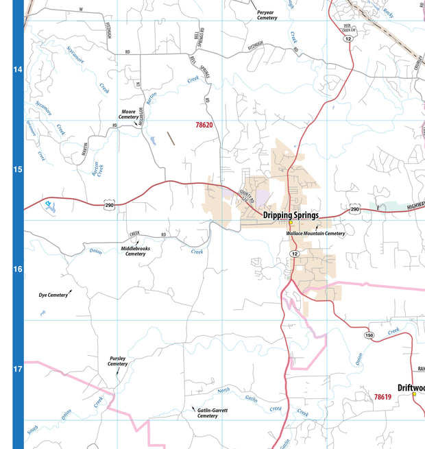
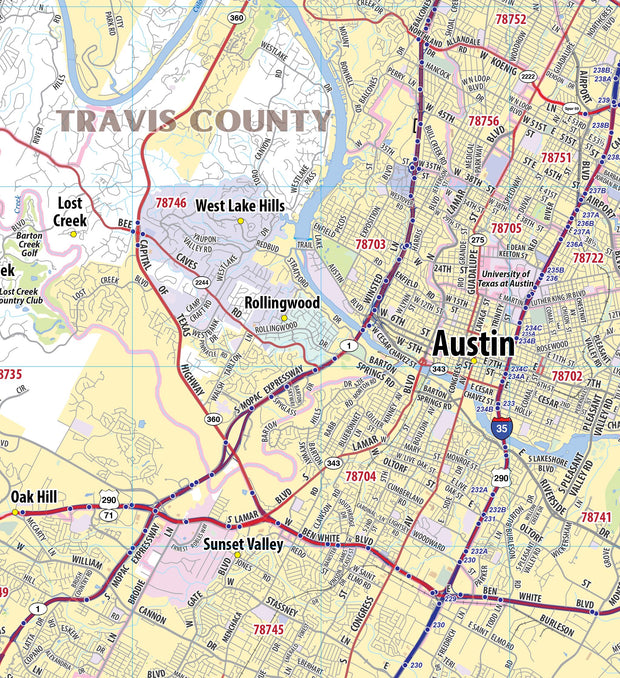
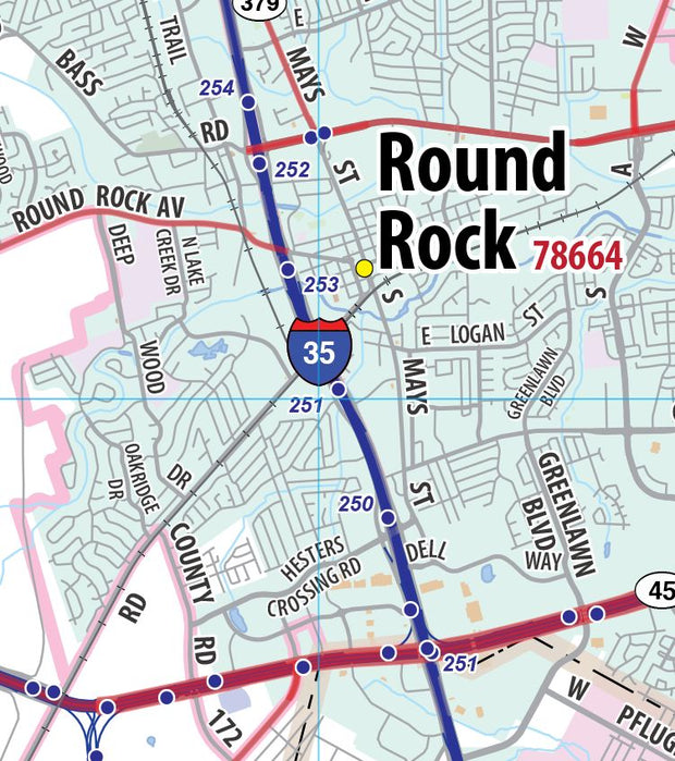
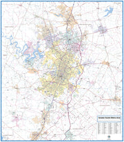
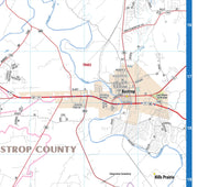
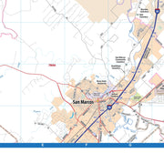
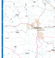
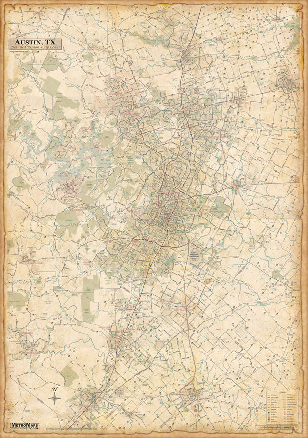
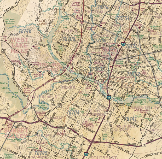
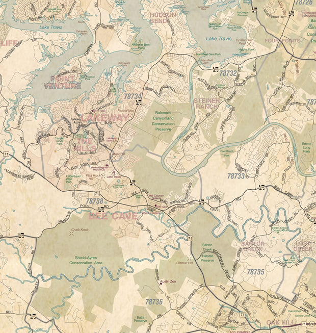
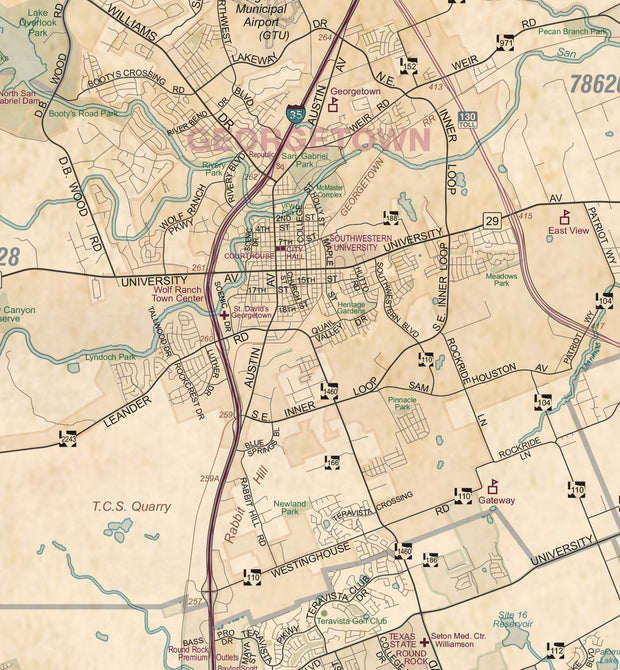
This up to date map of the Austin regional area features up-to-date major roads, cities, highways, zip code boundaries, lakes, hospitals, high schools and more. Area of coverage includes: West to include Dripping Springs, North to include Georgetown, East - to include Taylor and Elgin and South to include San Marcos and Lockhart.
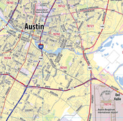
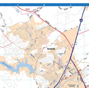
Choose from paper or laminated at checkout.


Greater Austin Metro Area Wall Map

Greater Austin Metro Area Wall Map

TXWM102

Regular price $99.95
-15 in stock

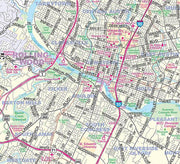
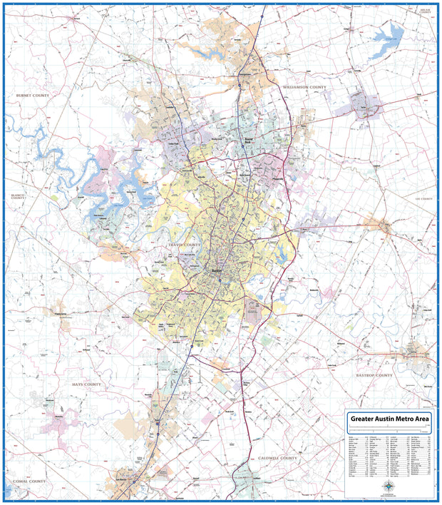
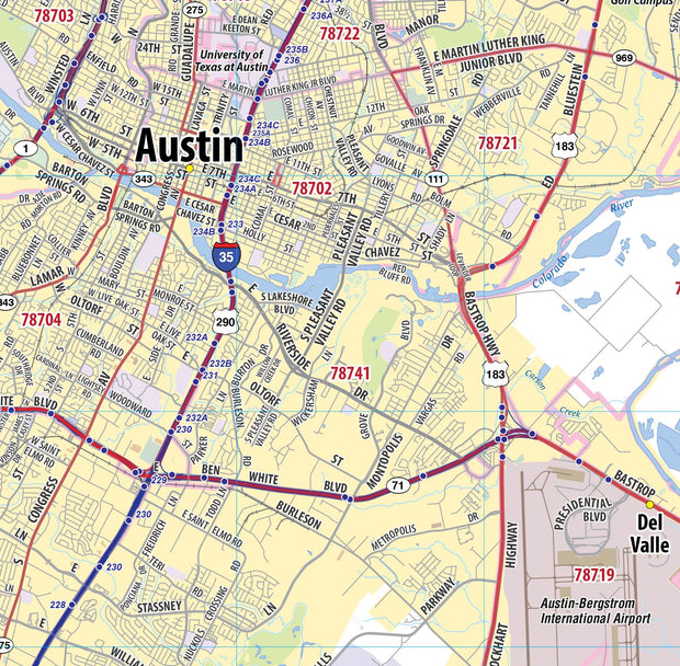
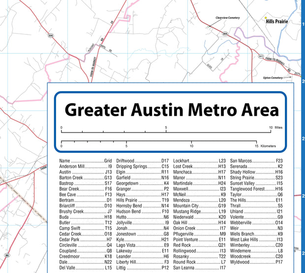
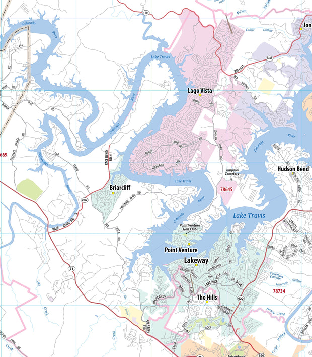
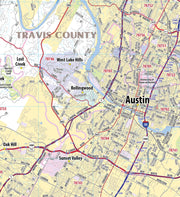
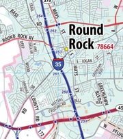
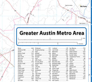
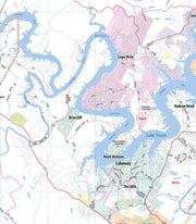
This wall map of the Austin metro area shows locations within 25 miles of downtown Austin, including Travis County, and parts of Hays, Williamson and Bastrop Counties. Communities included are Georgetown, Leander, Cedar Park, Round Rock, Pflugerville, Lago Vista, Lakeway, Bee Cave, Kyle, San Marcos and Lockhart, among others. Features shown include cities, towns, major roads and highways, zip codes, and major points of interest. An index of community names is included.

This map comes rolled and ships in a sturdy cardboard tube.

Austin Regional Area Major Arterial Wall Map - Antiqued Version

Austin Regional Area Major Arterial Wall Map - Antiqued Version

WALL043

Regular price $99.95
-1 in stock

The same map as our Austin Regional Major Arterial Map but we gave this an antique treatment for a little more decorative character
  • Paper or laminated
  • Covers Austin Regional Area
  • Includes Zip Codes boundaries
This up to date map of the Austin regional area features up-to-date major roads, cities, highways, zip code boundaries, lakes, hospitals, high schools and more. Area of coverage includes: West to include Dripping Springs, North to include Georgetown, East - to include Taylor and Elgin and South to include San Marcos and Lockhart.

This map comes rolled and ships in a sturdy cardboard tube.


Texas Map Store

Powered by Shopify


True North Publishing dba Texas Map Store has been publishing and selling maps for Texas since 1997. We continually strive to produce the most accurate and up-to-date maps available. We heartily welcome your suggestions, so please feel free to call, write or email any time.

More Stuff

  • Custom Maps
  • Purchase Orders
  • Tax Exempt Purchases
  • Contact Us
  • About Us
  • Shipping
  • Refunds and returns
  • Privacy Policy
  • Terms of Service

Categories

  • Texas Maps
  • City Maps
  • Historical Maps
  • Topographic Maps
  • Classroom Maps
  • Outdoor Maps
  • Decorative Maps
  • Everything Else

Join TMS Newsletter

Sign-up for Discounts, Coupons, New Product Arrivals and Recent News.

Texas Map Store

Powered by Shopify

  • american express
  • apple pay
  • diners club
  • discover
  • google pay
  • master
  • paypal
  • visa

All of our maps have a Free Shipping Option!