This is a high-resolution reproduction printed on 24 lb. bond paper.
PLEASE NOTE: This map does not cover the entire county. The principle county within which the map coverage lies is listed first with partial coverage as noted.
22"W x 30"H
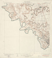
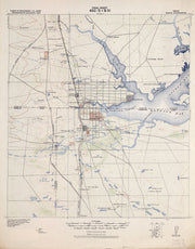
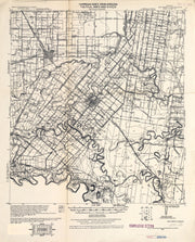
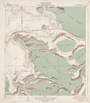
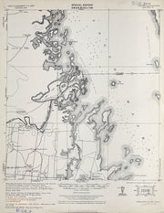
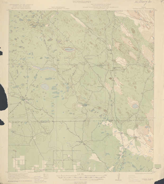
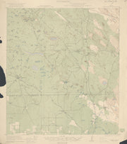
Harlingen 1929, USGS
HST0196
Regular price
$29.95
0 in stock
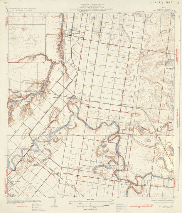
COUNTY: Cameron; SCALE: 1:31,680
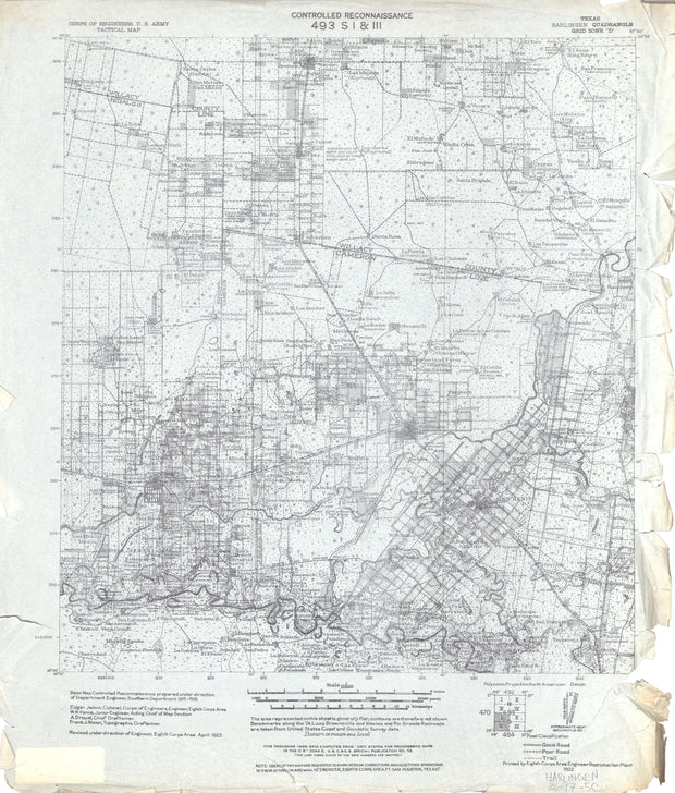
This is a high-resolution reproduction printed on 24 lb. bond paper.
PLEASE NOTE: This map does not cover the entire county. The principle county within which the map coverage lies is listed first with partial coverage as noted.
This is a high-resolution reproduction printed on 24 lb. bond paper.
PLEASE NOTE: This map does not cover the entire county. The principle county within which the map coverage lies is listed first with partial coverage as noted.
22"W x 30"H
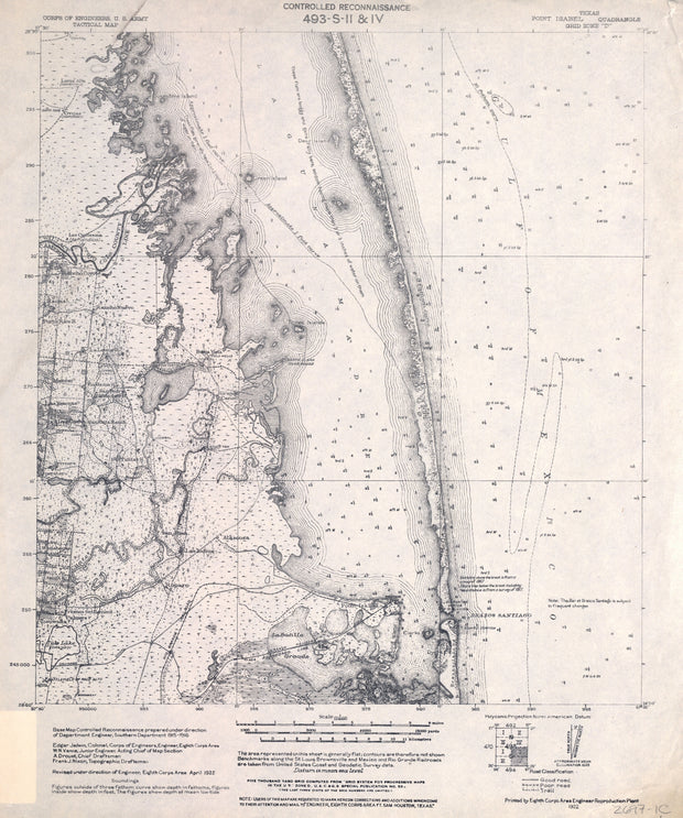
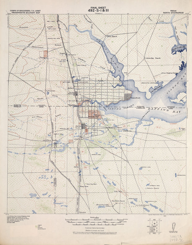
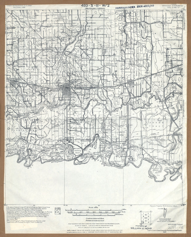
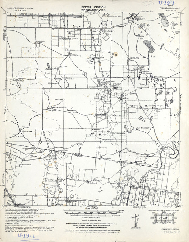
Harlingen 1922, US Army Corps of Engineers
HST0841
Regular price
$29.95
0 in stock
COUNTY: Cameron/Willacy; SCALE: 1:125,000
This is a high-resolution reproduction printed on 24 lb. bond paper.
PLEASE NOTE: This map does not cover the entire county. The principle county within which the map coverage lies is listed first with partial coverage as noted.
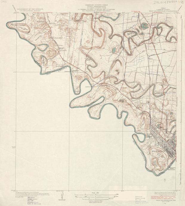
This is a high-resolution reproduction printed on 24 lb. bond paper.
PLEASE NOTE: This map does not cover the entire county. The principle county within which the map coverage lies is listed first with partial coverage as noted.
22"W x 30"H
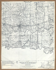
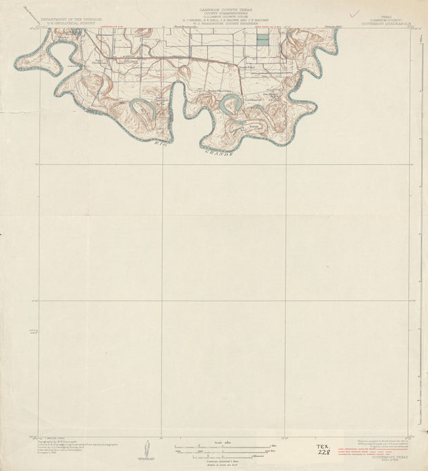
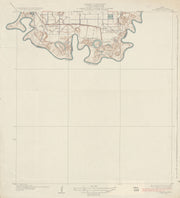
West Brownsville 1930, USGS
HST0408
Regular price
$29.95
0 in stock
COUNTY: Cameron; SCALE: 1:31,680
This is a high-resolution reproduction printed on 24 lb. bond paper.
PLEASE NOTE: This map does not cover the entire county. The principle county within which the map coverage lies is listed first with partial coverage as noted.
22"W x 30"H
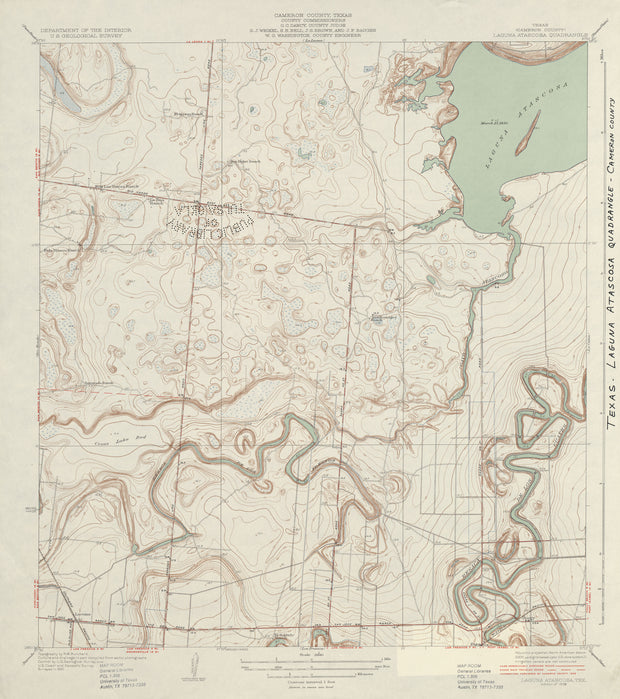
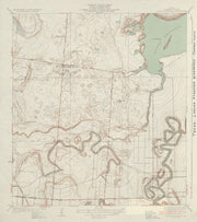
Laguna Atascosa 1930, USGS
HST0233
Regular price
$29.95
0 in stock
COUNTY: Cameron; SCALE: 1:31,680
This is a high-resolution reproduction printed on 24 lb. bond paper.
PLEASE NOTE: This map does not cover the entire county. The principle county within which the map coverage lies is listed first with partial coverage as noted.
This is a high-resolution reproduction printed on 24 lb. bond paper.
PLEASE NOTE: This map does not cover the entire county. The principle county within which the map coverage lies is listed first with partial coverage as noted.
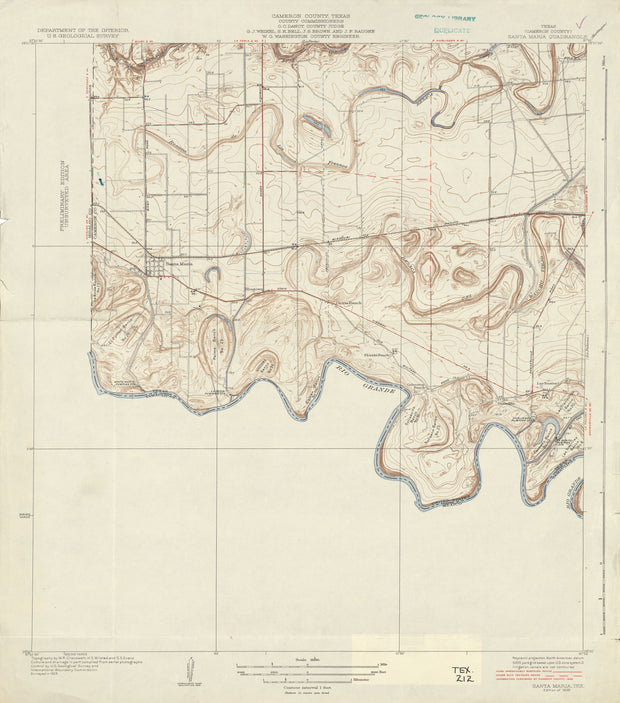
22"W x 30"H
Santa Maria 1929, USGS
HST0931
Regular price
$29.95
0 in stock
COUNTY: Cameron; SCALE: 1:31,680
This is a high-resolution reproduction printed on 24 lb. bond paper.
PLEASE NOTE: This map does not cover the entire county. The principle county within which the map coverage lies is listed first with partial coverage as noted.
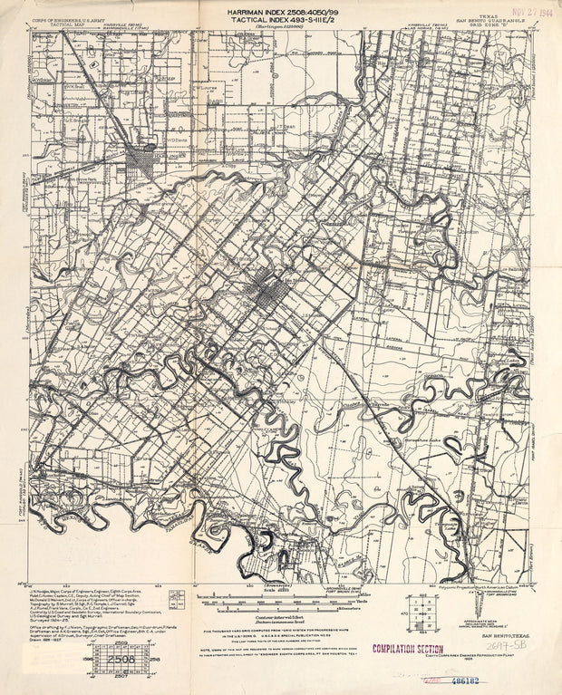
22"W x 30"H
San Benito 1925, US Army Corps of Engineers
HST0923
Regular price
$29.95
0 in stock
COUNTY: Cameron; SCALE: 1:62,500
This is a high-resolution reproduction printed on 24 lb. bond paper.
PLEASE NOTE: This map does not cover the entire county. The principle county within which the map coverage lies is listed first with partial coverage as noted.
22"W x 30"H
Mercedes 1924, US Army Corps of Engineers
HST0882
Regular price
$29.95
0 in stock
COUNTY: Hidalgo/Cameron; SCALE: 1:62,500
This is a high-resolution reproduction printed on 24 lb. bond paper.
PLEASE NOTE: This map does not cover the entire county. The principle county within which the map coverage lies is listed first with partial coverage as noted.
22"W x 30"H
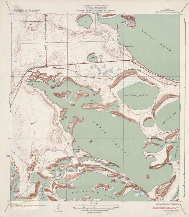
Laguna Vista 1929, USGS
HST0861
Regular price
$29.95
0 in stock
COUNTY: Cameron; SCALE: 1:31,680
This is a high-resolution reproduction printed on 24 lb. bond paper.
PLEASE NOTE: This map does not cover the entire county. The principle county within which the map coverage lies is listed first with partial coverage as noted.
22"W x 30"H
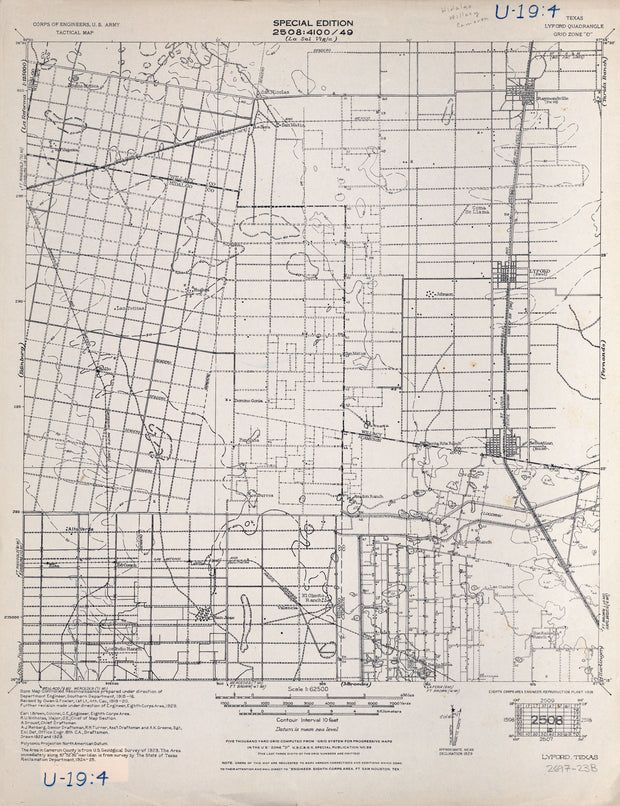
Lyford 1929, US Army Corps of Engineers
HST0873
Regular price
$29.95
0 in stock
COUNTY: Cameron/Willacy; SCALE: 1:62,500
This is a high-resolution reproduction printed on 24 lb. bond paper.
PLEASE NOTE: This map does not cover the entire county. The principle county within which the map coverage lies is listed first with partial coverage as noted.
22"W x 30"H
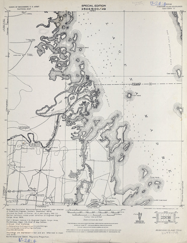
Josephine Island 1929, US Army Corps of Engineers
HST0853
Regular price
$29.95
0 in stock
COUNTY: Cameron/Willacy; SCALE: 1:62,500
This is a high-resolution reproduction printed on 24 lb. bond paper.
PLEASE NOTE: This map does not cover the entire county. The principle county within which the map coverage lies is listed first with partial coverage as noted.
This is a high-resolution reproduction printed on 24 lb. bond paper.
PLEASE NOTE: This map does not cover the entire county. The principle county within which the map coverage lies is listed first with partial coverage as noted.
22"W x 30"H
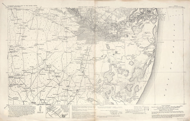
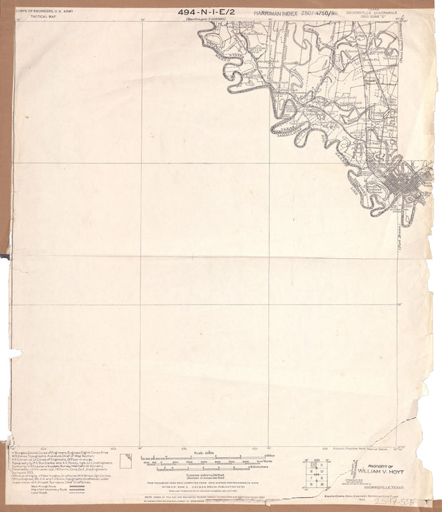
Brownsville 1923, US Army Corps of Engineers
HST0770
Regular price
$29.95
0 in stock
COUNTY: Cameron/Tamaulipas, Mex.; SCALE: 1:62,500
This is a high-resolution reproduction printed on 24 lb. bond paper.
PLEASE NOTE: This map does not cover the entire county. The principle county within which the map coverage lies is listed first with partial coverage as noted.
This is a high-resolution reproduction printed on 24 lb. bond paper.
PLEASE NOTE: This map does not cover the entire county. The principle county within which the map coverage lies is listed first with partial coverage as noted.
22"W x 30"H
Southmost 1930, USGS
HST0360
Regular price
$29.95
0 in stock
COUNTY: Cameron; SCALE: 1:31,680
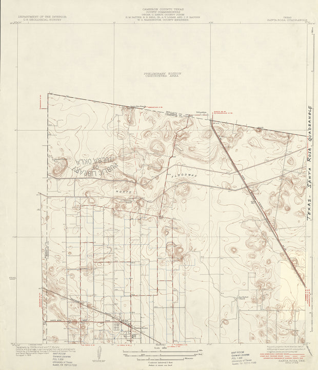
This is a high-resolution reproduction printed on 24 lb. bond paper.
PLEASE NOTE: This map does not cover the entire county. The principle county within which the map coverage lies is listed first with partial coverage as noted.
22"W x 30"H
Santa Rosa 1929, USGS
HST0342
Regular price
$29.95
0 in stock
COUNTY: Cameron; SCALE: 1:31,680
This is a high-resolution reproduction printed on 24 lb. bond paper.
PLEASE NOTE: This map does not cover the entire county. The principle county within which the map coverage lies is listed first with partial coverage as noted.