This fully indexed 4th edition map book of the Golden Triangle area covers Beaumont, Port Arthur, Orange, Lumberton, Bridge City, Port Neches, Groves, Kountze, Silsbee, Vidor, Nederland, etc. It features more than 160 pages of maps, covering more than 3,400 square miles including all of Jefferson and Orange Counties, most of Hardin County and portions of Chambers, Jasper, Liberty and Newton Counties.
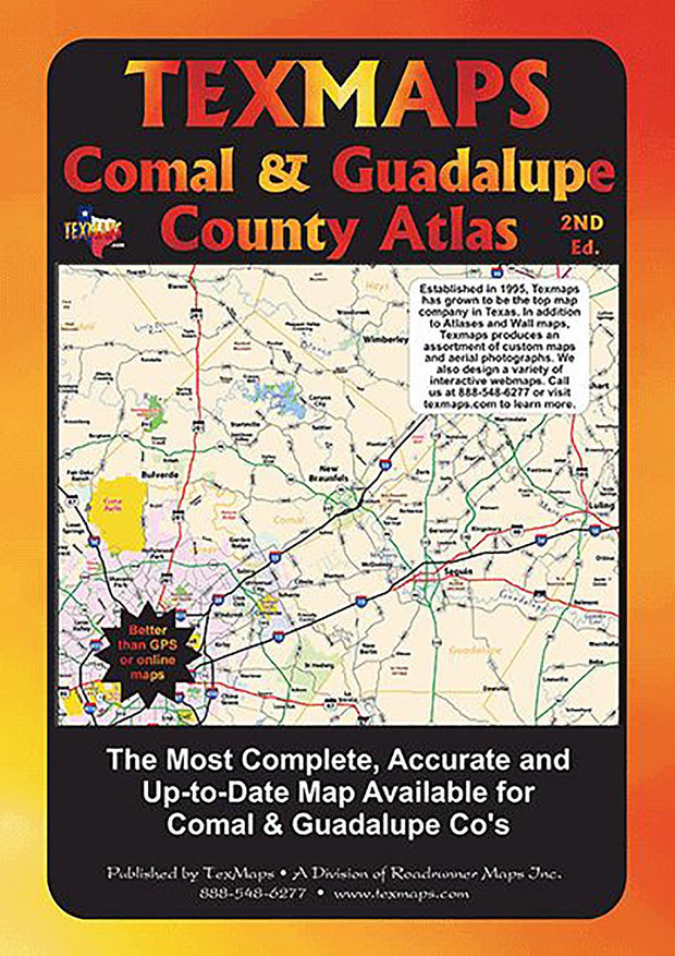
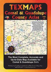
Comal & Guadalupe County Atlas by Texmaps, 2nd Ed. 2015
1 review
MPBK066
Regular price
$24.95
-24 in stock
2nd edition - 2015! Fully indexed street guide of Comal and Guadalupe Counties. Covering New Braunfels, Seguin, Canyon Lake, Bulverde, Garden Ridge, Schertz, Cibolo, McQueeney, etc. More than 135 pages of maps, covering more than 2,400 square miles.
Grateful there were any left. Got it very quickly. Great shape too.
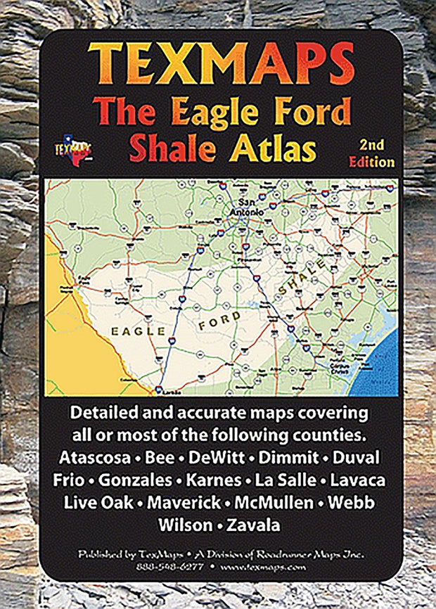
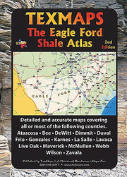
Eagle Ford Shale Atlas by Texmaps, 2nd Ed. 2015
MPBK065
Regular price
$34.95
-4 in stock
This is the most comprehensive map of the Eagle Ford Shale area available! More than 150 pages of maps covering more than 20,000 square miles in the area from Eagle Pass to Halletsville. Fully indexed to help you quickly find landmarks and remote county roads. Includes all or most of the following Counties: Atascosa, Bee, DeWitt, Dimmit, Duval, Frio, Gonzales, Karnes, La Salle, Lavaca, Live Oak, Maverick, McMullen, Webb, Wilson, Zavala. Includes GPS coordinates for rural areas. Updated 2015
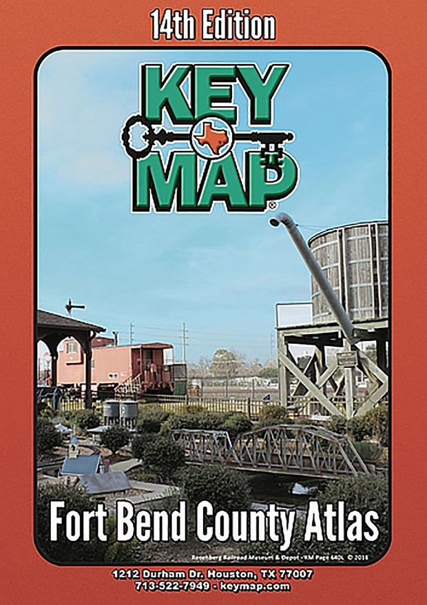
Fort Bend County Atlas by Key Maps, Wire-o version
No reviews
MPBK005
Regular price
$36.95
-11 in stock
The growth in Fort Bend County has not slowed since it became one of the nation's fastest growing counties. Stay on pace with the 14th Edition (2018) Fort Bend County Atlas from Key Maps. It comes complete with 128 pages of indexed, full-color maps, and complete, accurate listings of schools, hospitals, libraries, police and fire stations, and more. All Key Map Atlases include a mini-map with zip code information.
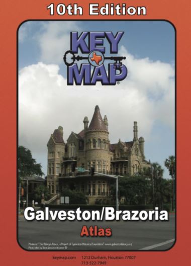
Galveston/Brazoria Area Atlas by Key Maps, Wire-o version
MPBK007
Regular price
$36.95
-13 in stock
With over 2200 square miles of coverage in portions of 5 counties, this 10th Edition Key Map Atlas has the Galveston/Brazoria area covered like a glove. It also has tourist information about Galveston Island as well as listings of schools, hospitals, subdivisions, and much more.