Explanation of Saffir-Simpson Hurricane Wind Scale
Longitude and Latitude Grid lines for easy tracking
Perfect for home, business, school, or governmental emergency planning agency, this map of the central and western North Atlantic Ocean, Caribbean Sea, and Gulf of Mexico is divided into one degree latitude and longitude grid lines to make the tracking of tropical systems easy. The map includes a glossary of tropical meteorology terms and an explanation of the Saffir-Simpson Hurricane Wind Scale. This map comes rolled and shipped in a sturdy cardboard tube.
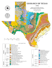
This attractive map/poster from the University of Texas Bureau of Economic Geology depicts surface geology for the state and includes a cross referenced stratigraphic column. This map comes rolled and shipped in a sturdy cardboard tube.
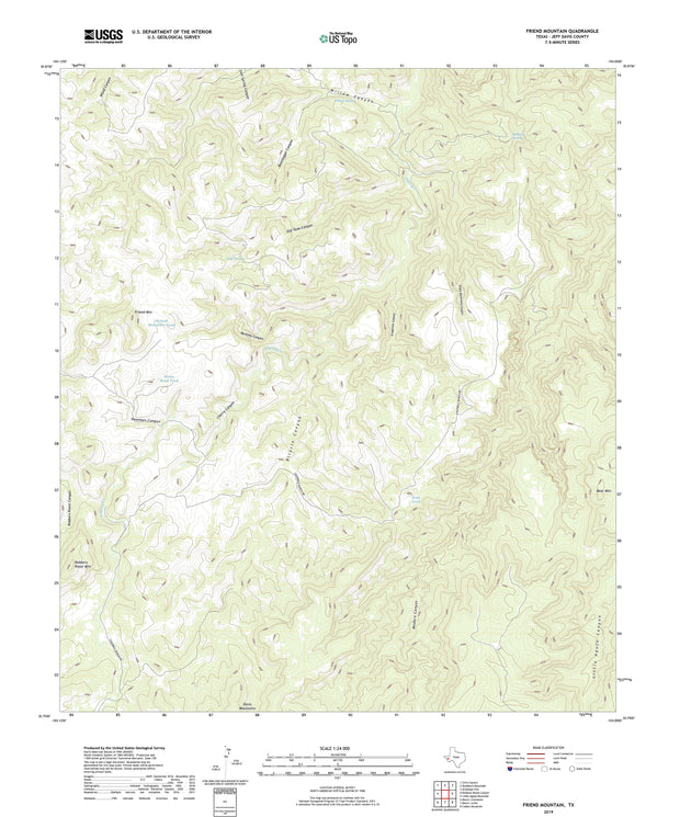
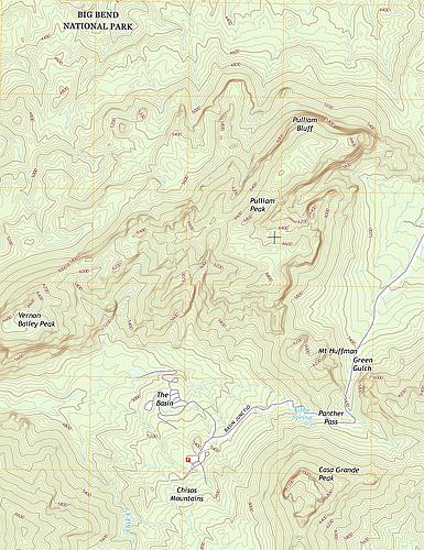
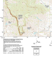
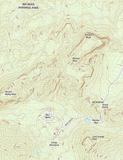
Any Current USGS TOPO Map - Select Your Quadrangle
TOPO100-01
Regular price
$24.95
-44 in stock
The current USGS topographic maps are scaled at 1:24,000 also know as the 7.5 series. Each map is referred to as a quadrangle. If you are not sure which quadrangle you need click the link at the bottom and follow these instructions:
Once you arrive at the USGS site type in the name of the location (city and state, mountain, national park, etc) you are searching in the search bar in the upper right corner.
Click on the round 24k red button and the list will display the names of the quadrangles associated with that area.
Use the zoom in and out button to see the quadrangle grids and names in an overlay of the map.
Once you have located the quadrangle you need simply type the name in the Quadrangle name field above , add it to your cart and we will get it printed up and shipped to you. It is that easy.
If you have any questions please feel free to give us a call anytime at 830-438-4080 and we will be happy to assist you with the process of identifying the map you need.
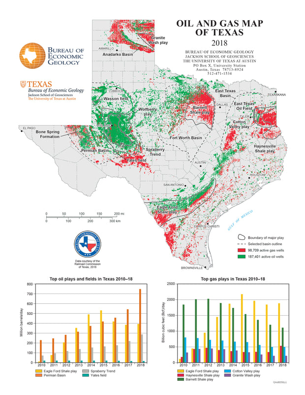
Oil and Gas Map of Texas
GEOL040
Regular price
$59.95
-21 in stock
Source: UT Bureau of Economic Geology
Includes Top Oil and Top Gas Plays
Data from the Railroad Commission of Texas
Texas has produced more oil and natural gas than any other state and to date remains the largest daily producer. Oil and natural gas are found in most parts of the state. No state or any other region worldwide has been as heavily explored or drilled for oil and natural gas as Texas. This beautiful laminated map/poster shows the oil and gas development in Texas in great detail and will be a compliment to any office or classroom. This map comes rolled and shipped in a sturdy cardboard tube.
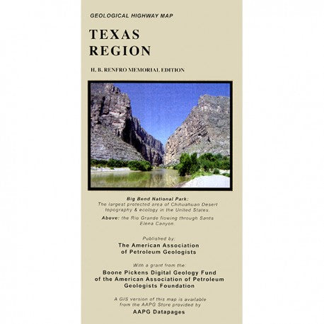
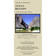
Geological Highway Map of Texas
GEOL010
Regular price
$29.95
-29 in stock
Learn more about the geological history of the rocks around you! This full-color map presents surface rock outcrop information - age, depositional environment, rock type, and names of formations - and includes major highways, towns, and landmarks. A stratigraphic column and mileage chart fill out the front of the map and various cross sections, inset maps showing gemstone locations, places of geological interest, fossil localities and much more, cover the back.
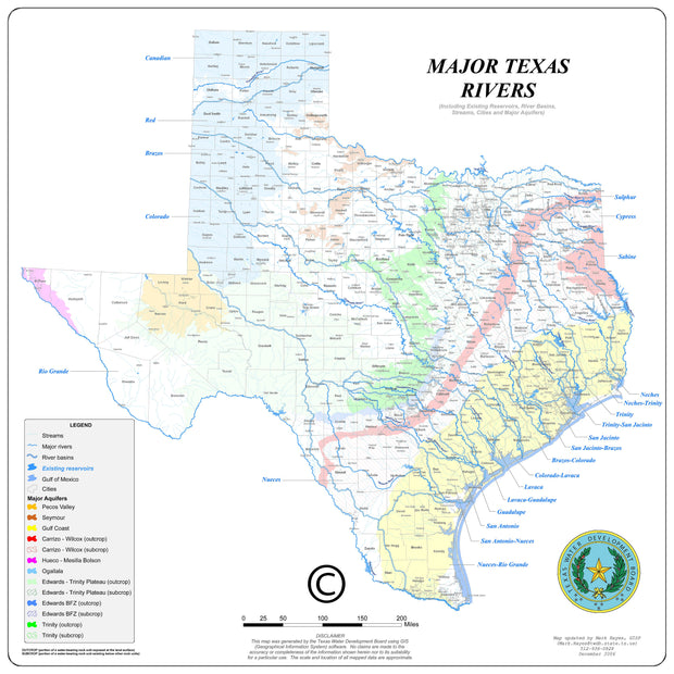
Major Texas Rivers Wall Map
1 review
TXWM013
Regular price
$59.95
-24 in stock
Paper or laminated
Source: Texas Water Development Board
Includes Rivers, Basins, Aquifers, Cities and Counties
Great Resource to Study Texas Hydrology
This wonderful laminated map from the Texas Water Development Board not only shows the major rivers of Texas and their basins, but also includes reserviors, major aquifers, major cities and counties . An excellent resource for anyone wanting to understand Texas hydrology.