-3 in stock
- Laminated with wood hanging rails
- 61" W x 63" H
- Fully Indexed
- Mapsco Cartography
- Includes Zip Code Boundaries
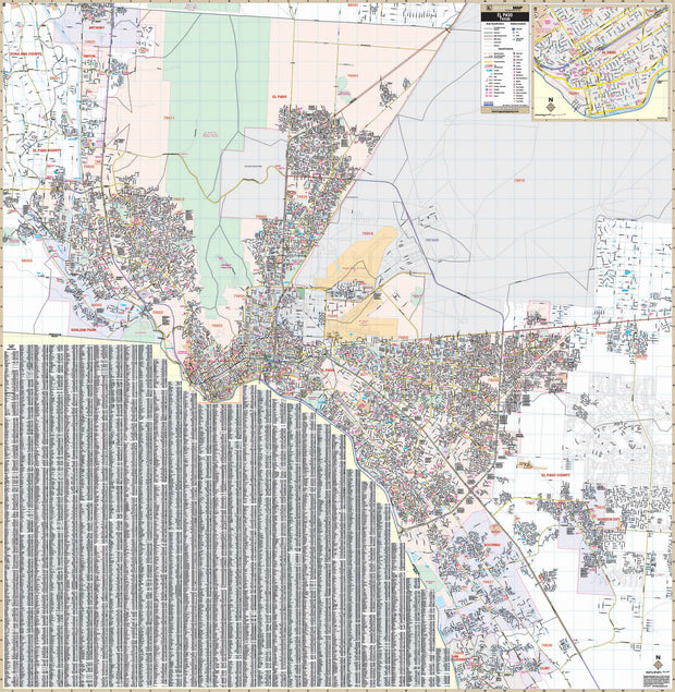
This 2nd Edition wall map covers the greater El Paso area and extends: North - to the city of Anthony and the New Mexico state line; South - to include the city of Clint and San Elizario; East - to include Horizon City and Homestead Meadows; West - to the El Paso County line, city of Sunland Park and all of Santa Teresa. It includes an inset map of downtown El Paso and features post offices, hospitals, mileage circles, time zones, airports, cemeteries, shopping centers, water features, parks, lat/long lines, fire/police stations, schools, golf courses and country clubs, zip codes and zip code boundaries, city limits, and annexations. Street indexing is on the map. Hanging rails are included on top and bottom for easy wall mounting.
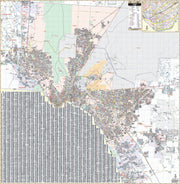
Click HERE for a larger view of this map