

You may also like
WALL001-1
TXWM104
Save money on our full line of wall maps from one of the industry leaders in wall maps. These always up to date, eye catching wall maps come in a variety of sizes and finishing options sure to meet your specific mapping needs.
Note: Major streets & highways available in all sizes. All streets & highways only available in larger sizes and will show unavailable in smaller sizes.
Features include:
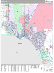
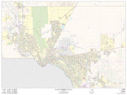
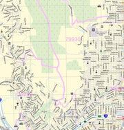
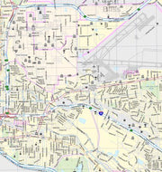
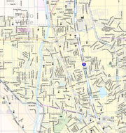
Area of Coverage: north: just pass the El Paso city limit; South: to include the cities of Sunland Park and San Elizario; East: to include the cities of Horizon City and Fort Bliss; West: to include the city of Santa Teresa and just pass the city limit of El Paso.
WALL066
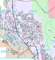
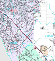
This up to date map of the El Paso area features up-to-date major roads, cities, highways, zip code boundaries, lakes, hospitals, high schools and more.
Choose from paper or laminated at checkout. This map comes rolled and ships in a sturdy carboard tube.


