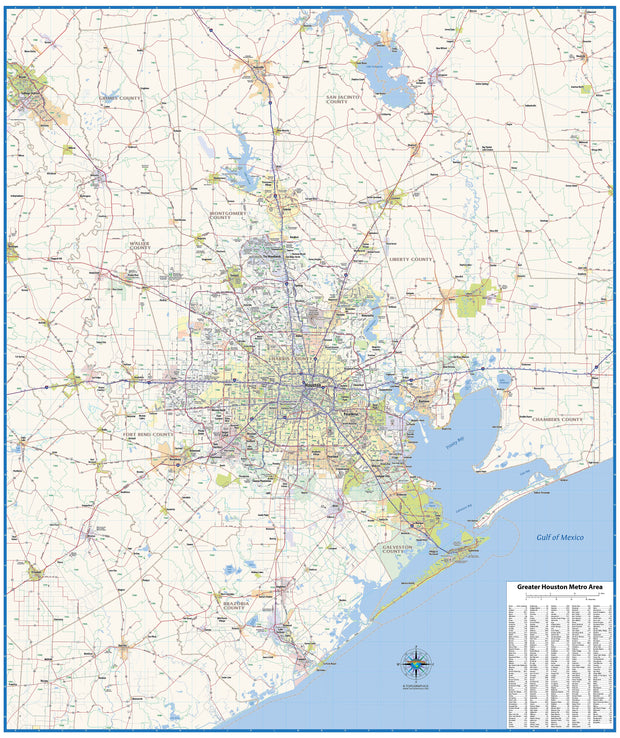
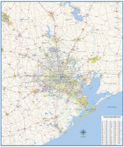
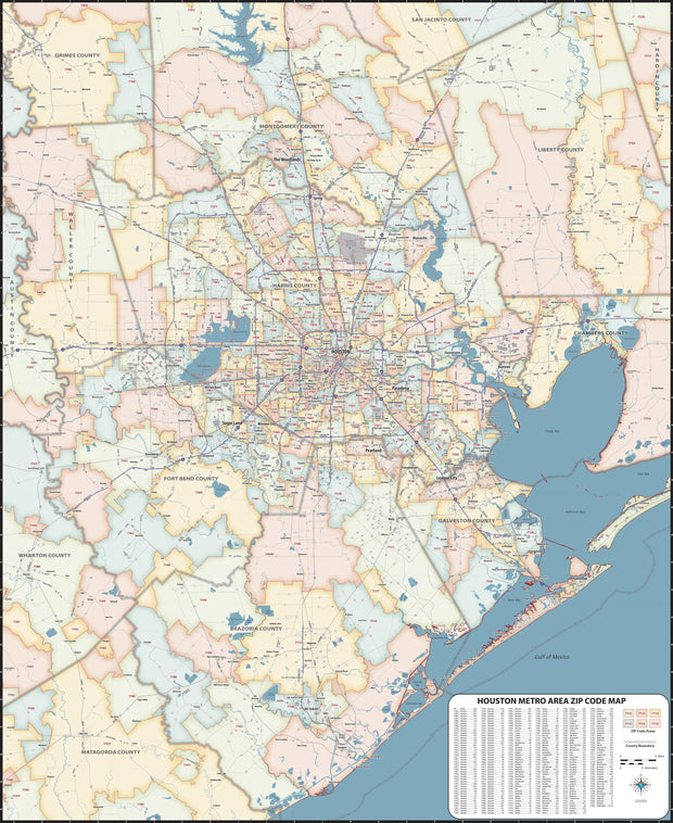
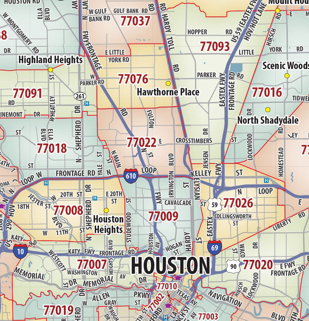
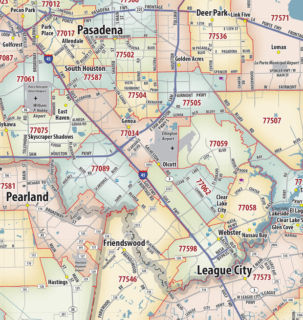
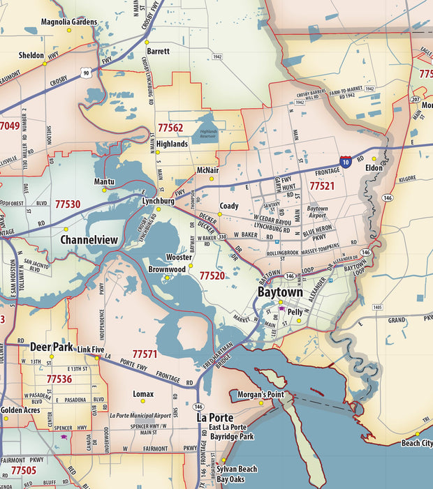
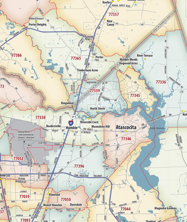
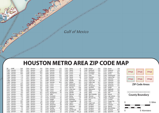
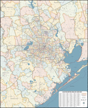
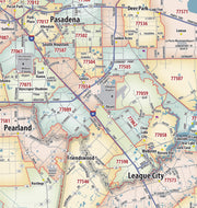
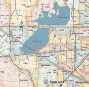
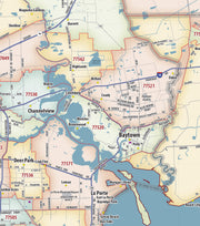
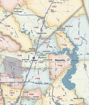
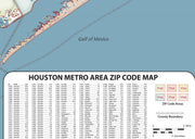
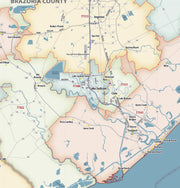
Houston Large Metro Wall Map by Kappa Map Group

Houston Large Metro Wall Map by Kappa Map Group

WALL004

Regular price $399.00
0 in stock

  • Laminated with Wood Hanging Rails
  • 79" W x 73" H
  • Fully Indexed in Separate Book Included
  • Street Level Detail
  • Includes Zip Code Boundaries

This large ("79 x"73") Houston w/ adjacent areas laminated wall map covers:
  • North - to the Montgomery/Harris County line including the city of Tomball and showing Northern Grand Parkway;
  • South - to all of Pearland in Brazoria County, and Sugar Land in Fort Bend County;
  • East - to include all of Deerpark and to the Fred Hartman Bridge;
  • West - to the Grand Parkway.
  • It includes inset maps of the city of Baytown and Downtown Houston and features post offices, hospitals, mileage circles, time zones, airports, cemeteries, shopping centers, water features, parks, lat/long lines, fire/police stations, schools, golf courses and country clubs, zip codes and zip code boundaries, city limits, and annexations. Street indexing is in a separate book. Hanging rails are included on top and bottom for easy wall mounting.
Click HERE for a larger view of this map


You may also like