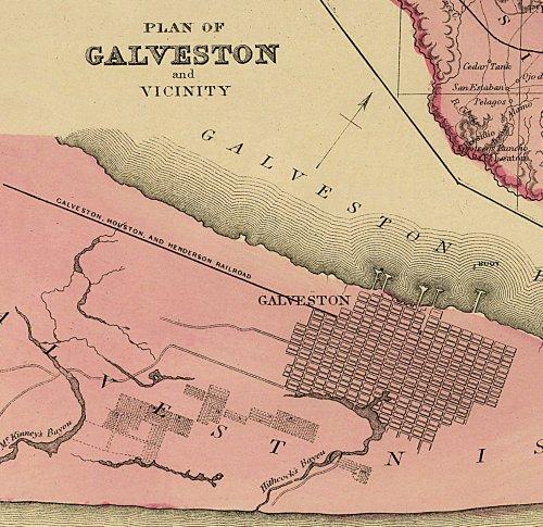
What sets this map by Frank Gray apart from the others of this period are the seven inset maps that show: the rivers of Texas and their tributaries, a Hypsometric Sketch of Texas that depicts the topography, Galveston, Galveston Bay, Matagorda Bay, Austin, and the southern tip of Texas. This beautiful reproduction is printed on heavy parchment style paper and is excellent for framing.
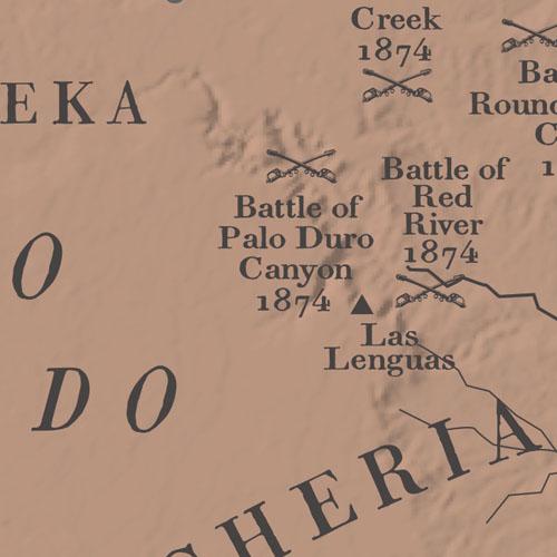
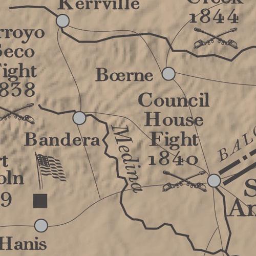
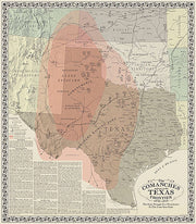
In the mid-nineteenth century westward settlement in Texas was stopped in its tracks by the Comanches, widely recognized at the time as the best mounted warriors in the world. The half-century struggle that ensued between the fledging state and Americas most fierce Indian tribe is depicted on this map. Battle sites, forts, trails and much more are shown on this graphically pleasing and historically rich map. This map is printed on heavy acid free stock and is perfect for framing.
25"W x 28"H
Interested in a framed version of this map? Click HERE
I will mount it under glass on the back porch of my house. Will be a great conversation piece.
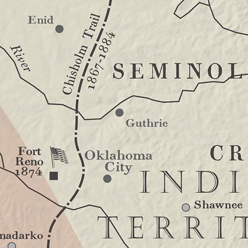
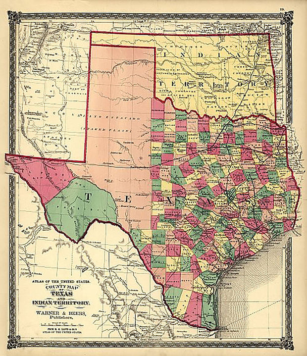
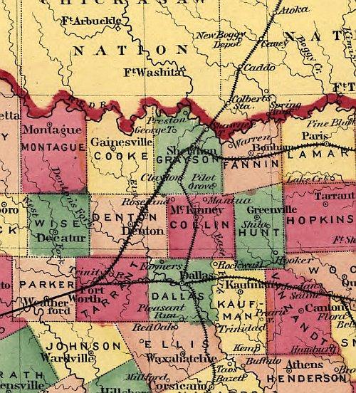
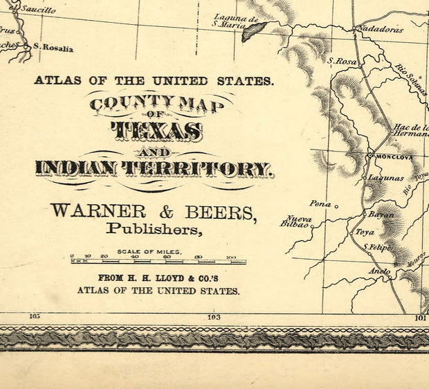
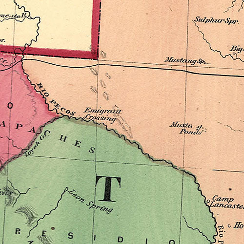
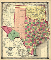
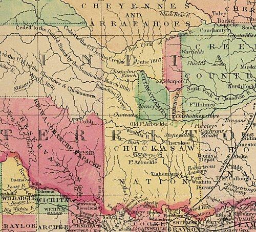
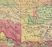
Texas and Indian Territory 1875
HIST170
Regular price
$39.95
-2 in stock
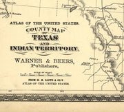
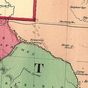
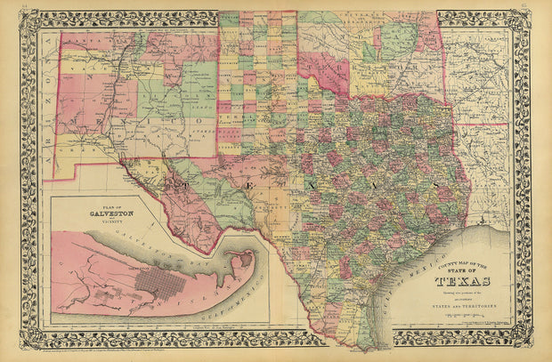
This beautiful hand-colored map is by Warner & Beers from H.H. Lloyd & Co.'s Atlas of the United States shows counties, principle cities, railroads, relief by hachures and rivers. Oklahoma was still "Indian Territory" and major tribal areas are shown. This beautiful reproduction is printed on heavy parchment style paper and is excellent for framing.
23"W x 25"H
Interested in a framed version of this map? Click HERE
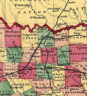
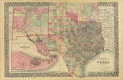
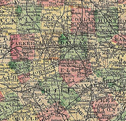
County Map of Texas by S. A. Mitchell 1881
HIST820
Regular price
$39.95
-1 in stock
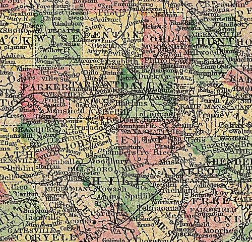
The mapmaking firm of S. A. Mitchell published this county map of Texas in 1881. At this time, Texas was experiencing explosive growth in terms of immigration and railroad development. The map was published in one of Mitchell’s popular commercial atlases, and clearly shows the steady westward movement of the Texas populace by charting county development. This reproduction is printed on heavy parchment style paper and is excellent for framing.