0 in stock
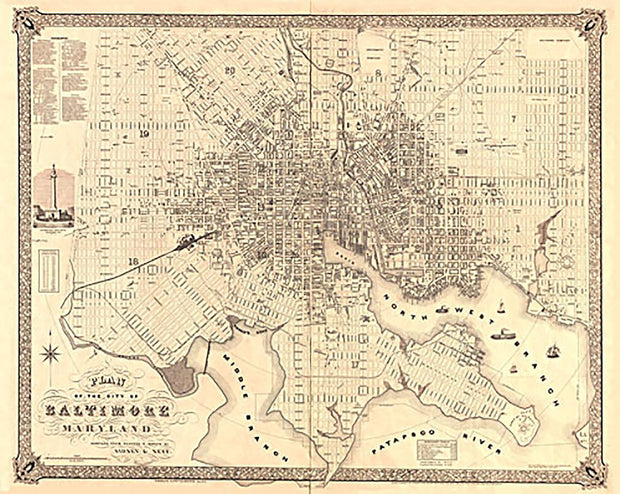
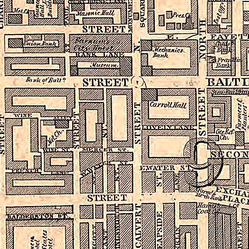
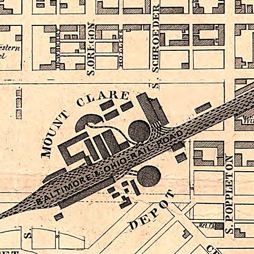
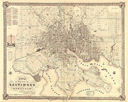
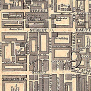
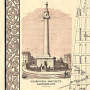
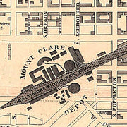
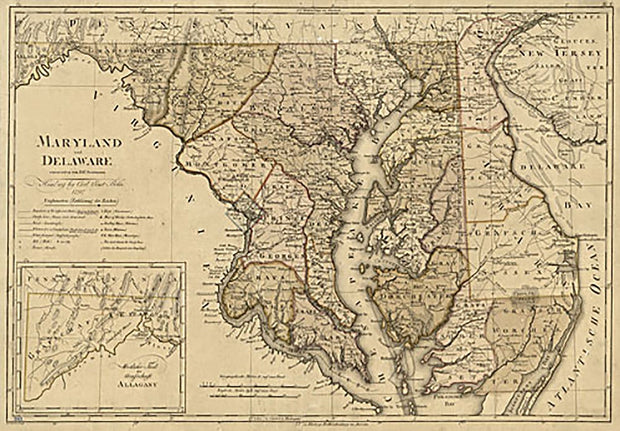
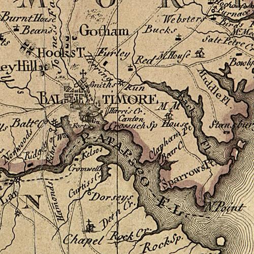
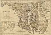
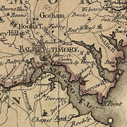
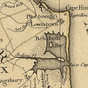
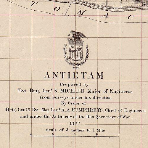
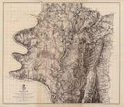
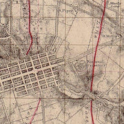
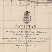
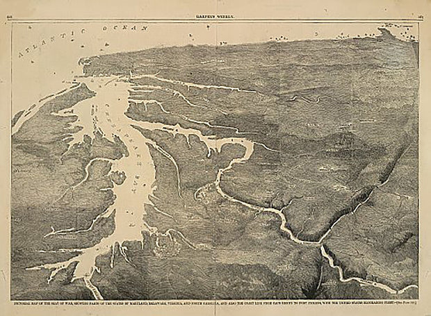
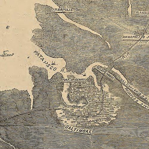
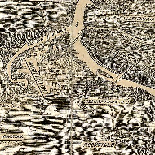
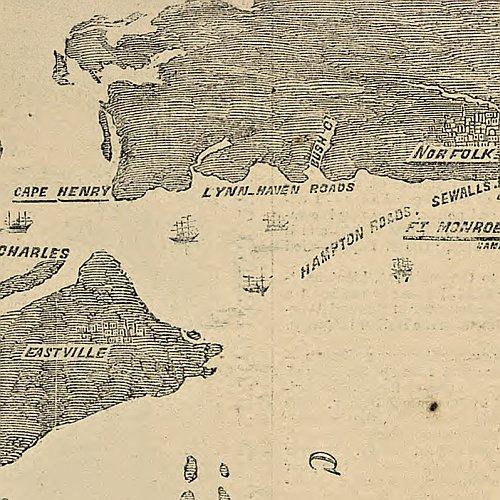
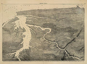
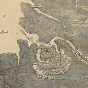
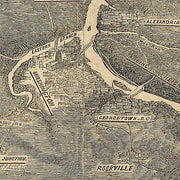
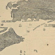
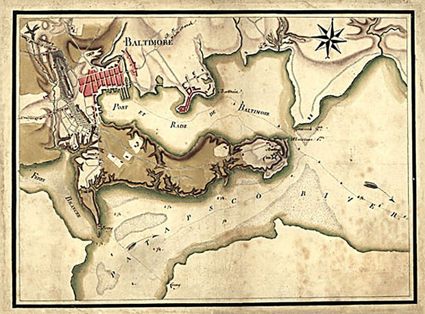
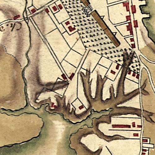
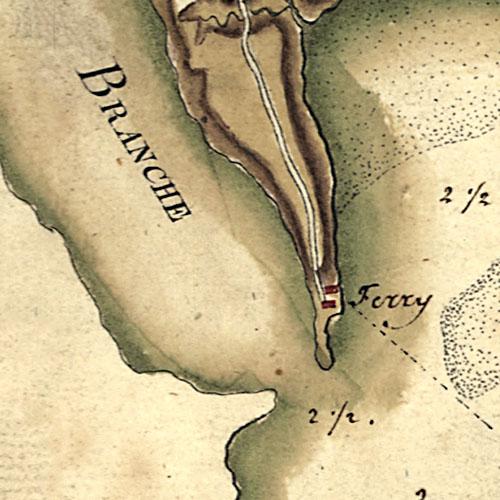
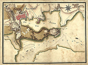
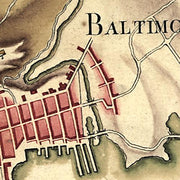
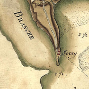
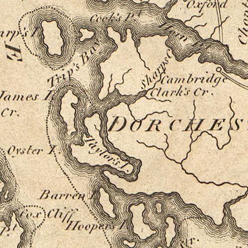
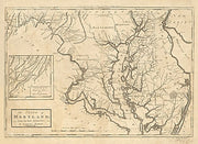
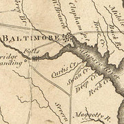
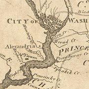
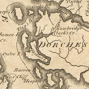
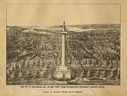
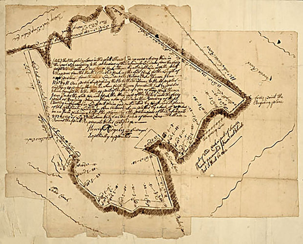
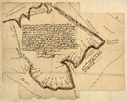
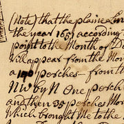
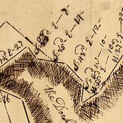
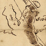
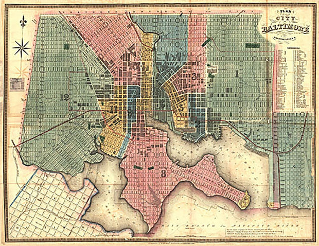
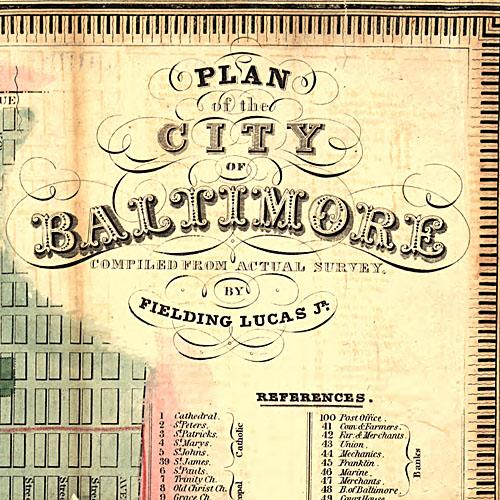
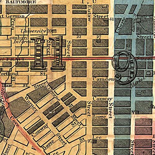
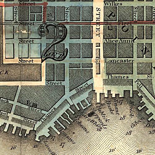
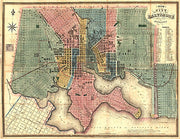
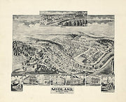
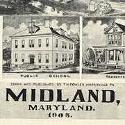
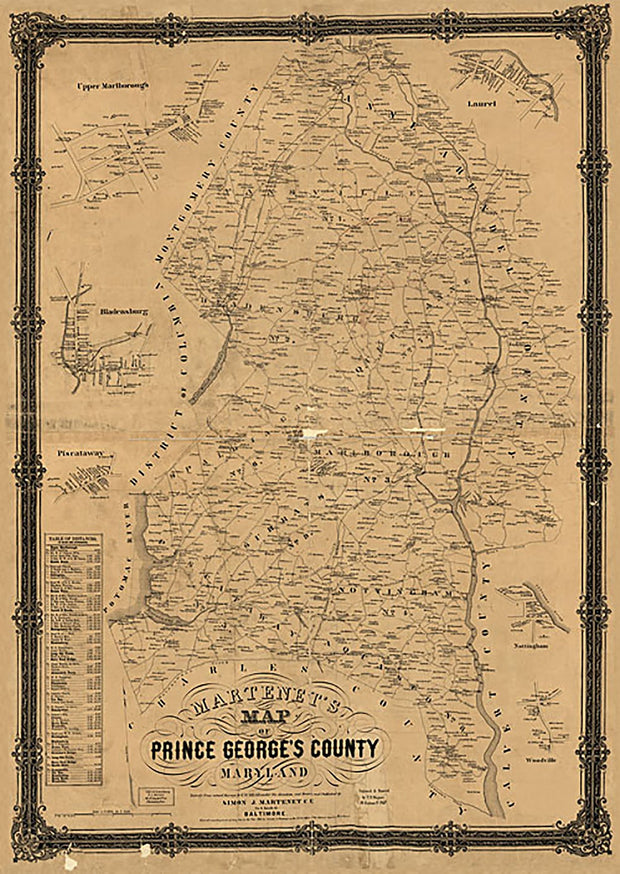
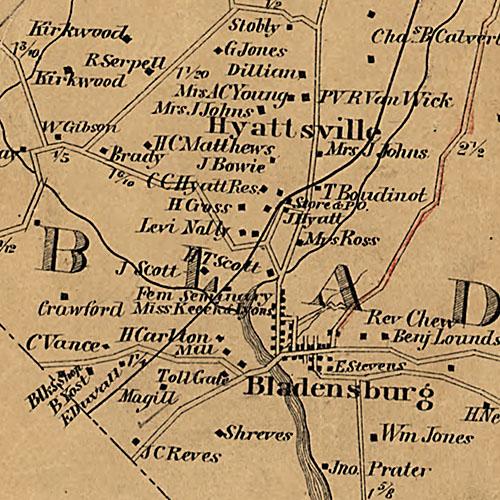
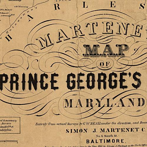
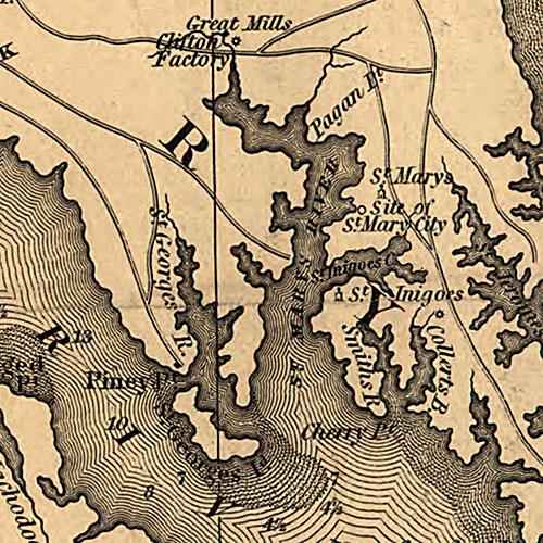
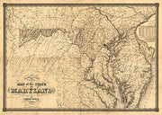
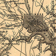
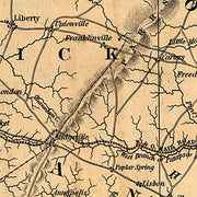
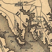
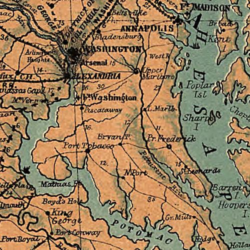
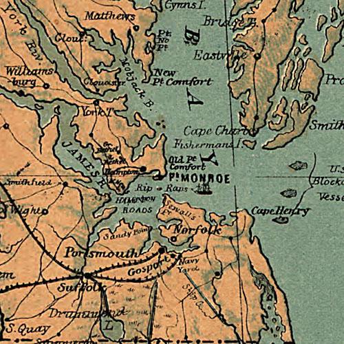
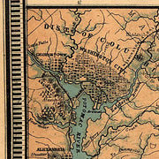
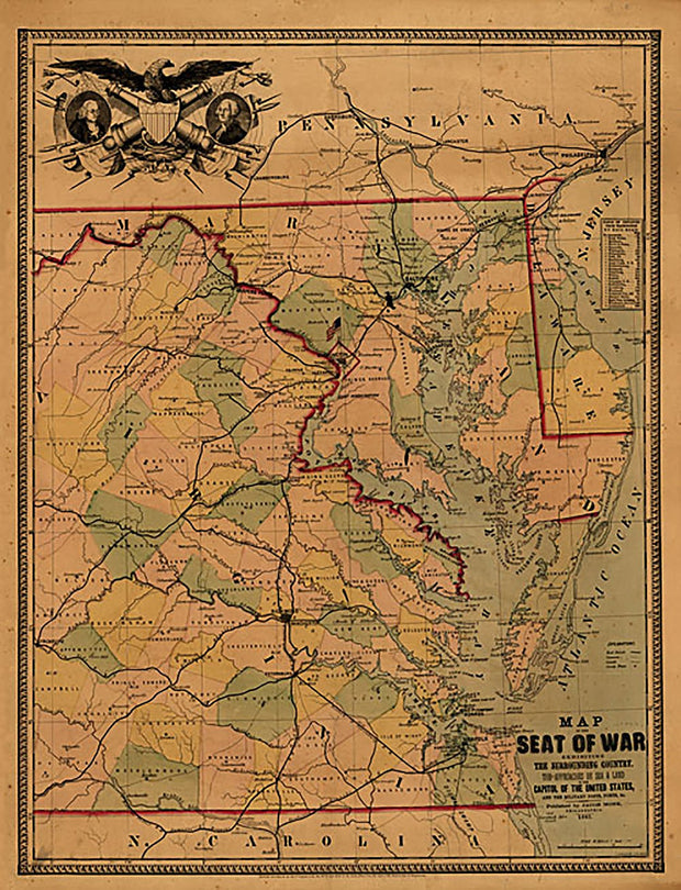
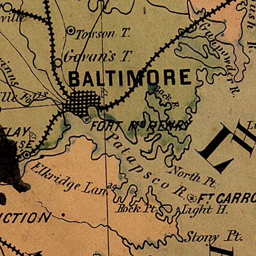
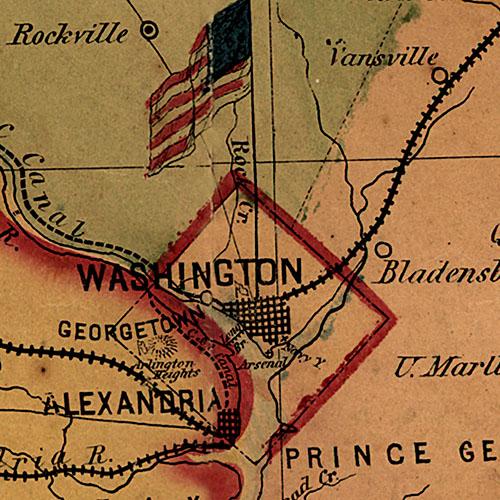
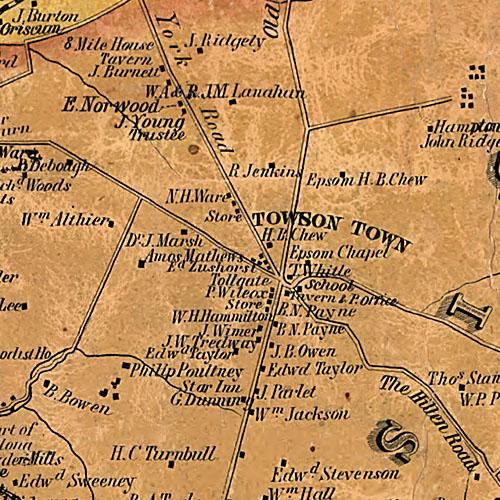
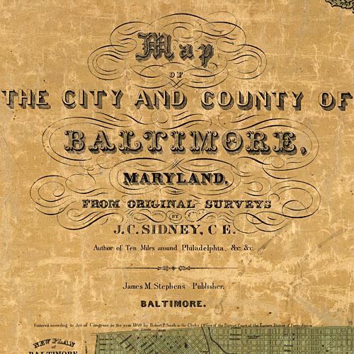
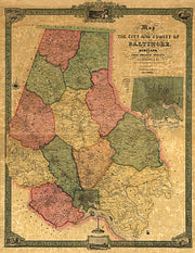
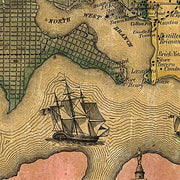
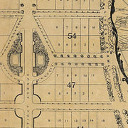
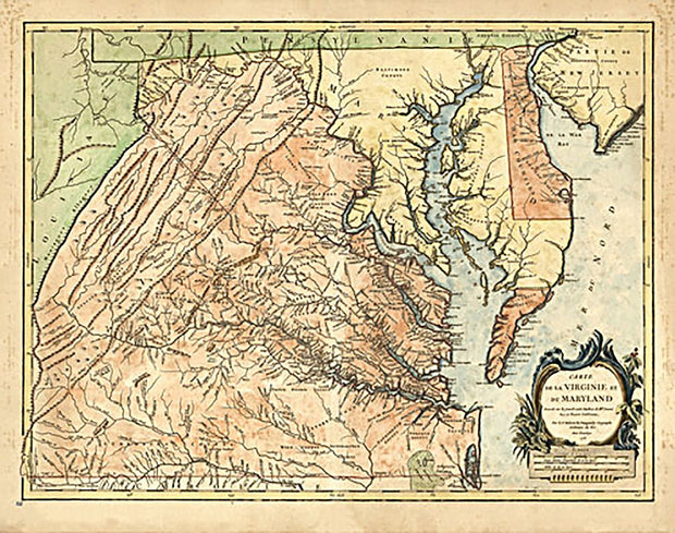
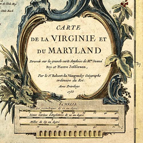
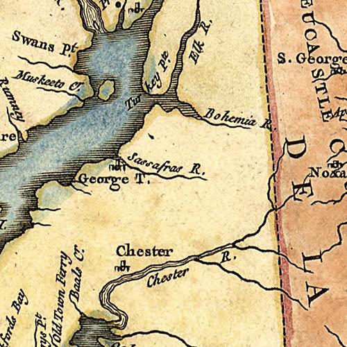
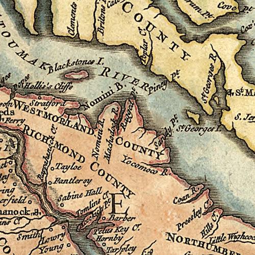
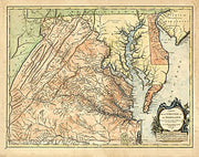
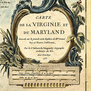
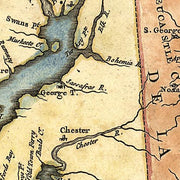
Carte de la Virginie et du Maryland. Dressée sur la grande carte angloise de Mrs. Josué Fry et Pierre Jefferson, par le Sr. Robert de Vaugondy, géographe ordinaire du roi. Avec privilege 1755. Gravé E. Haussard.
Robert de Vaugondy, Gilles, 1688-1766.
CREATED/PUBLISHED
Paris, 1757.
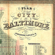
This beautiful antique map reproduction is printed on heavy acid-free stock with fade proof inks and is excellent for framing.
26”W X 16”H