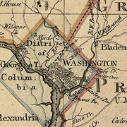
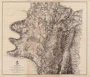
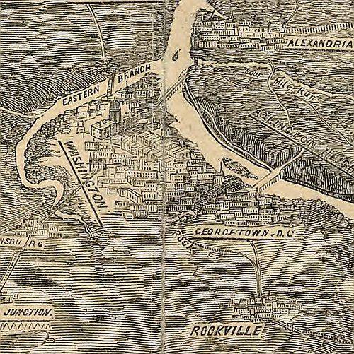
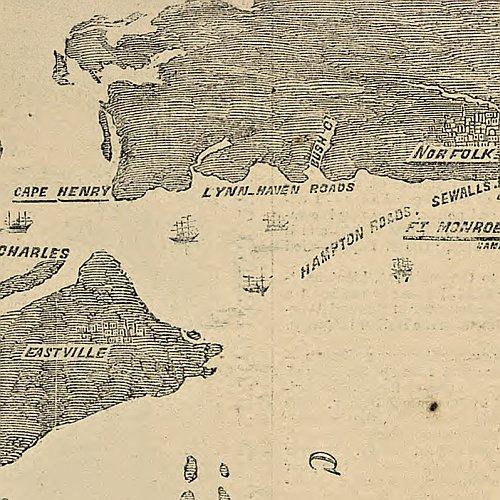
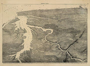
Map of the seat of war exhibiting the surrounding country, 1861
MD00016
Regular price
$39.95
0 in stock
Map of the seat of war exhibiting the surrounding country, the approaches by sea & land to the capitol of the United States, and the military posts, forts, &camps. General map of eastern Virginia, Maryland, and Delaware. Includes "Table of distances from Washington by rail road. This beautiful antique map reproduction is printed on heavy acid-free stock with fade proof inks and is excellent for framing.
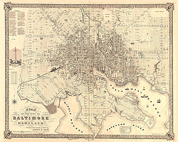
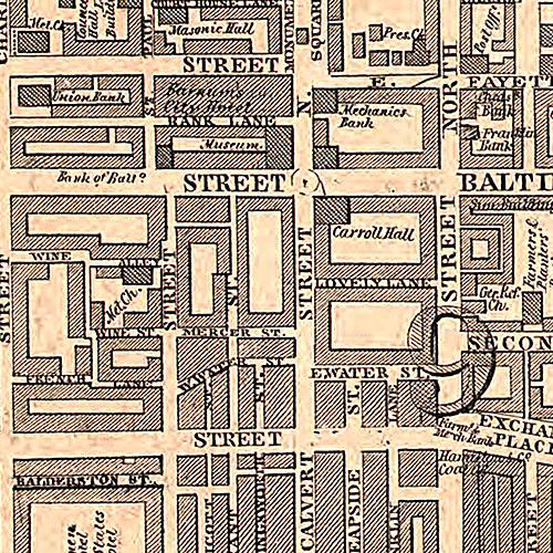
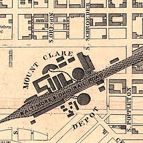
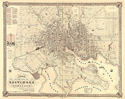
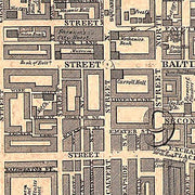
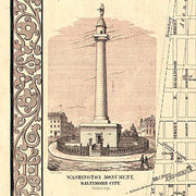
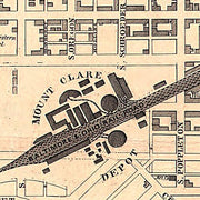
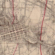
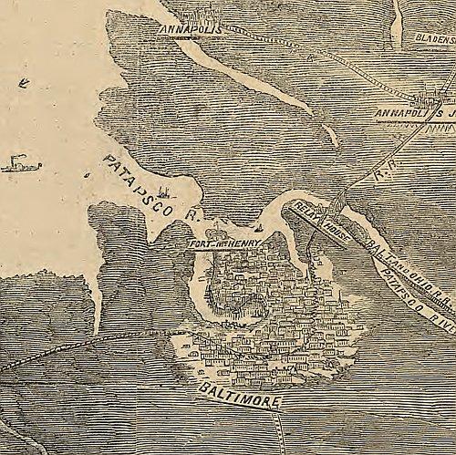
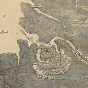
Plan of the city of Baltimore, Maryland / compiled from records and surveys by Sidney and Neff. Sidney & Neff. CREATED/PUBLISHED [S.l.] : published by Lloyd van Derveer, 1851. NOTES Includes index, population chart and view of Washington Monument. Shows wards. This beautiful antique map reproduction is printed on heavy acid-free stock with fade proof inks and is excellent for framing.
31”W X 25”H
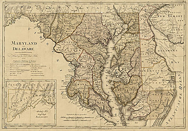
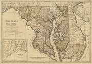
Maryland und Delaware, 1797
MD00021
Regular price
$39.95
-1 in stock
Maryland und Delaware. W. Sander, sculp. Sotzmann, D. F. CREATED/PUBLISHED Hamburg, C. E. Bohn, 1797.
This beautiful antique map reproduction is printed on heavy acid-free stock with fade proof inks and is excellent for framing.
26”W X 18”H
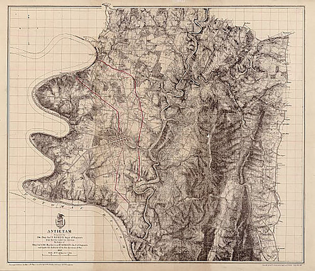
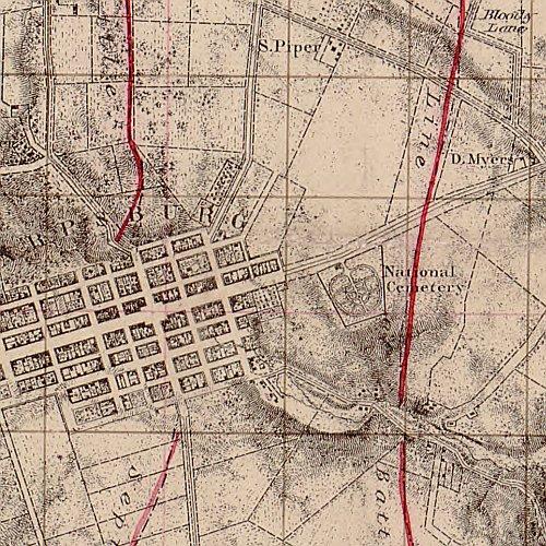
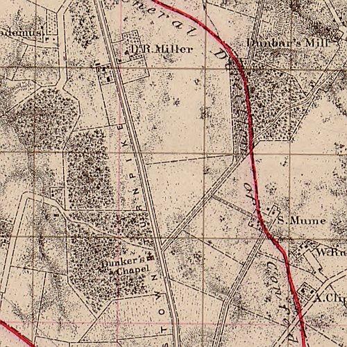
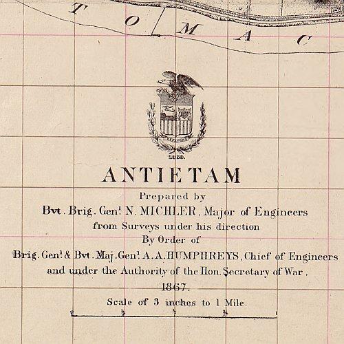
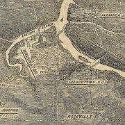
Antietam prepared by Bvt. Brig. Genl. N. Michler
MDCW002
Regular price
$39.95
-1 in stock
Antietam prepared by Bvt. Brig. Genl. N. Michler This beautiful antique map reproduction is printed on heavy acid-free stock with fade proof inks and is excellent for framing.
27"W x 23"H
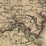
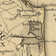
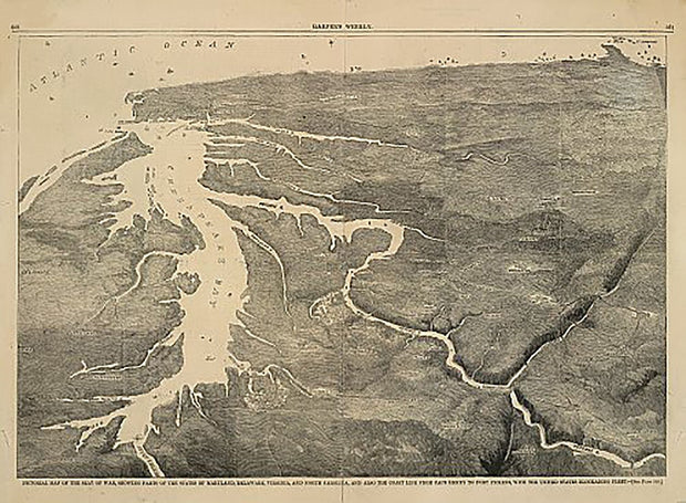
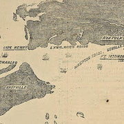
Pictorial map of the seat of war, showing parts of the states of Maryland, Delaware, Virginia, and North Carolina
MDCW001
Regular price
$39.95
0 in stock
Pictorial map of the seat of war, showing parts of the states of Maryland, Delaware, Virginia, and North Carolina This beautiful antique map reproduction is printed on heavy acid-free stock with fade proof inks and is excellent for framing.
22"W x 16"H
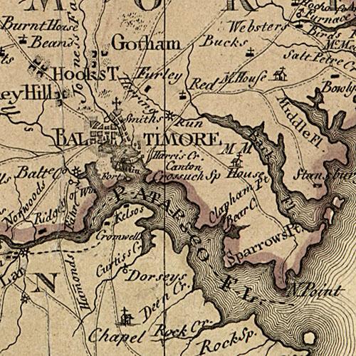
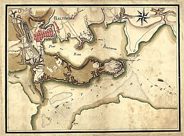
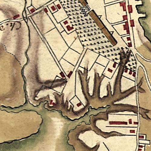
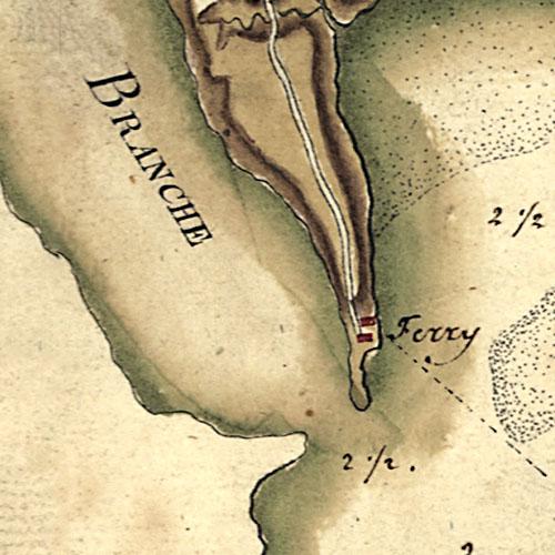
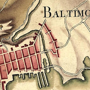
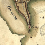
Ville, port, et rade de Baltimore dans le Maryland, 1781
MD00030
Regular price
$39.95
0 in stock
Ville, port, et rade de Baltimore dans le Maryland. Berthier, Louis-Alexandre, 1753-1815. CREATED/PUBLISHED 1781
This beautiful antique map reproduction is printed on heavy acid-free stock with fade proof inks and is excellent for framing