Our highly detailed map of old Ft. Worth and the notorious Hell's Half Acre district is filled with detail about the history starting with the early cattle drives around 1866 to 1885 and then with much additional information about the later days. Hell's Half Acre and Fort Worth were on the "Sin Circuit" and fancy women, gamblers and gunmen like Bat Masterson, James and Wyatt Earp and later Butch Cassidy and the Sundance Kid with their Hole-In-the-Wall Gang were frequent visitors. Less well known but equally active was the "Uptown" area south of the Tarrant County courthouse that also was filled with saloons and pleasure palaces but catered to a sometimes less rowdy clientele. Many famous and notorious places are shown: The White Elephant Saloon near which dapper gambler Luke Short and ex-Marshal Jim Courtright shot it out. The track of the herds as they entered Fort Worth from the south and made their way north to the Cold springs area on the Trinity River to bed down on their way north to the Red River and the Chisholm Trail in Indian Territory. Historical Note: In spite of some popular misinformation, Hell's Half Acre was NOT in the North Fort Worth Stockyard district. The Fort Worth Stockyards did not begin to operate until about 1900. Instead, the Acre was at the southern end of the Fort Worth business district bounded on the south by the Texas & Pacific Railroad reservation in later years. Also, Fort Worth was a sizeable city for its time with a population of over 22,000 compared to the few hundreds or few thousands in many of the forts, camps and railhead's of the period.
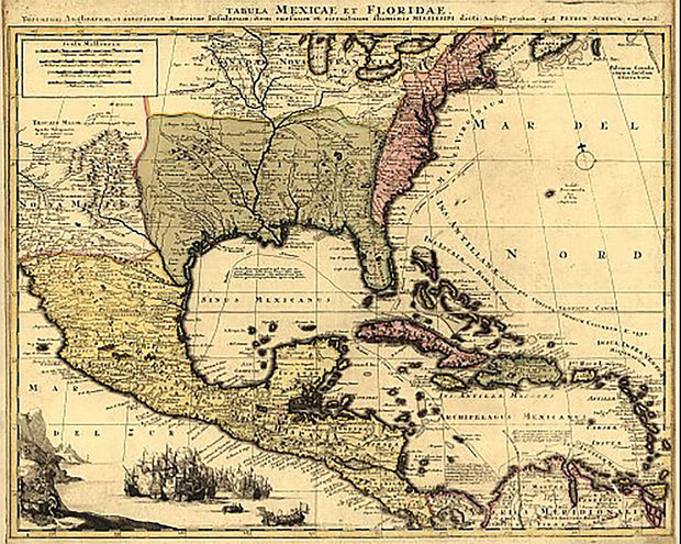
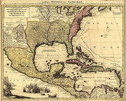
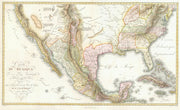
Although the text is in Latin, there is much that can be learned from this wonderful map from the early 18th century. It shows the extent of New Spain and Florida, New France, the American colonies, and the West Indies as well as rivers, towns, and trade routes. This beautiful reproduction is printed on heavy parchment style paper and is excellent for framing.
18" x 24"
Interested in a framed version of this map? Click HERE
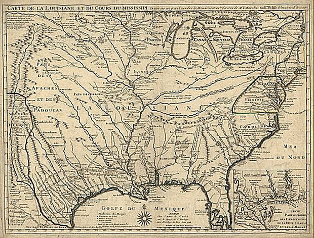
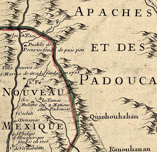
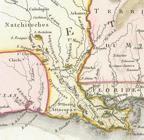
Carte de la Louisiane et du cours du Mississipi 1718
HIST840
Regular price
$39.95
-1 in stock
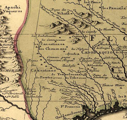
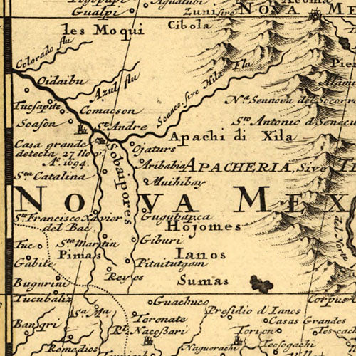
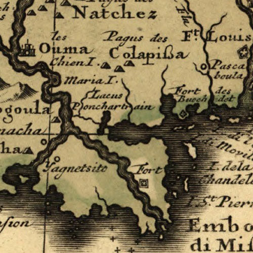
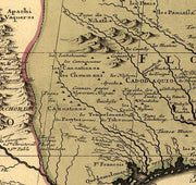
Known for its detailed depiction of the states adjacent to the Gulf of Mexico region and the Mississippi River, this map is also the first printed map to show a variant name for Texas (from the note "Mission de los Teijas etablie en 1716" in what is now East Texas) and has been called "the map that named Texas". It depicts the great French explorations of the era and was copied for decades. By Guillaume de L'Isle.
26"W x 18"H
Interested in a framed version of this map? Click HERE
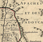
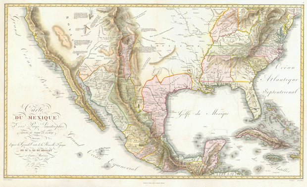
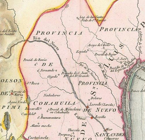
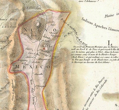
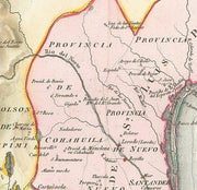
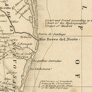
Carte du Mexique 1811
HIST730
Regular price
$39.95
-2 in stock
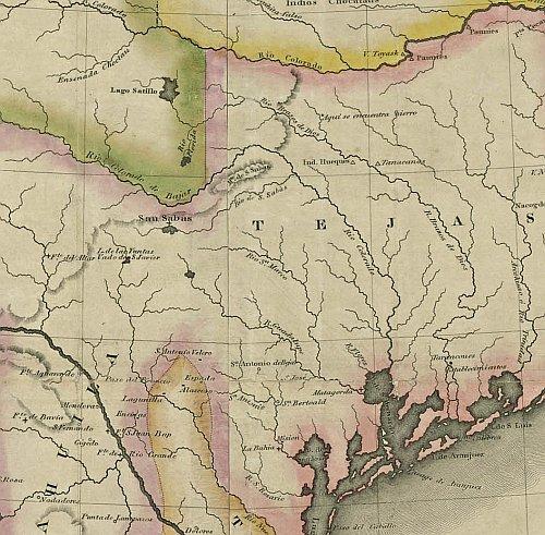
This beautiful map drawn by the famous German Baron, Alexander von Humboldt represents a synthesis of state-of-the-art cartographic knowledge of Mexico in the early years of the 19th century. It bears the full title "Carte du Mexique et des Pays Limitropher Situres ou Nort et E'est" and although the text is in French, American place names have English (or very close equivalent) spellings. This beautiful reproduction is printed on heavy parchment style paper and is excellent for framing.
36"W x 22'H
Interested in a framed version of this map? Click HERE
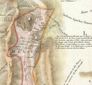
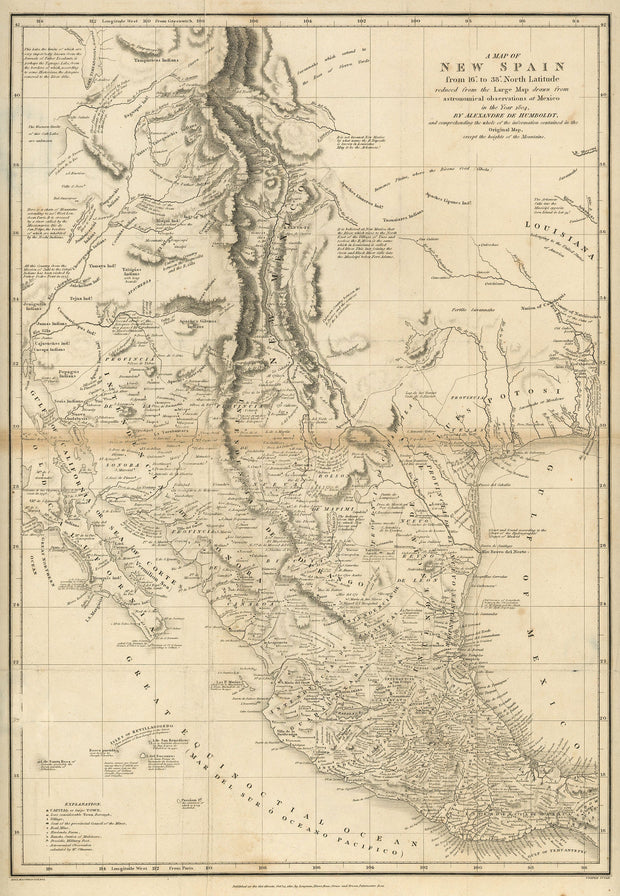
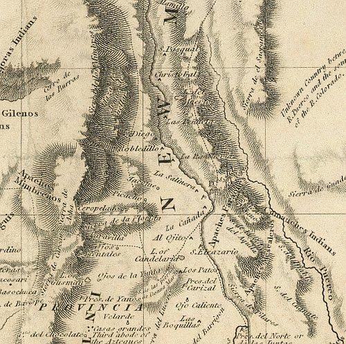
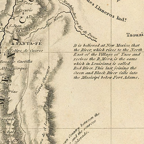
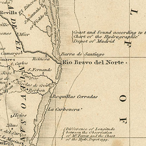
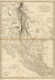
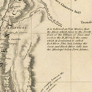
A Map of New Spain 1810
HIST400
Regular price
$39.95
-8 in stock
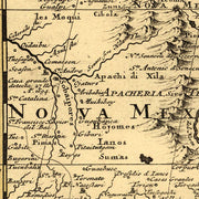
Drawn by Alexander von Humbolt, this great map dates from the period just after the Louisiana Purchase in 1803 when little was known about the "provincia" of Texas. Interesting note: longitude is shown as degrees "West from Paris". This beautiful reproduction is printed on heavy parchment style paper and is excellent for framing.
23" x 31"
Interested in a framed version of this map? Click HERE
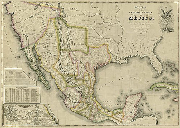
Mapa de los Estados Unidos de Mejico 1828
HIST270
Regular price
$39.95
-3 in stock
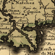
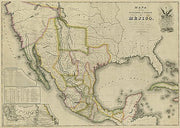
This map, in Spanish, covers the entirety of Mexico as it was in 1828 including what is now Texas, New Mexico, and California. It shows rivers, lakes, mountainous areas, mines, cities, towns, missions, forts, and Indian tribes, ruins, and villages. It features an inset map, 'Carta de los Caminos & c. desde Vera Cruz y Alvardo a Mejico (Map of the Roads and etc. from Vera Cruz and Alvardo to Mexico City)' as well as two tables: 1) Tabla de Distancias, 2) Tabla Estadistica (Statistics). This beautiful reproduction is printed on heavy, acid-free stock and is excellent for framing.
34"W x 24"H
Interested in a framed version of this map? Click HERE