Texas by Rand McNally

Texas by Rand McNally

TEXAS04

Regular price $12.95
-170 in stock

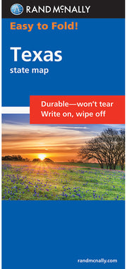
Get bigger map type with the same great map detail, all for the same low price with Rand McNallys Easy to Read Texas Folded Map. Features all Interstate, U.S., state, and county highways, along with clearly indicated parks, points of interest, airports, county boundaries, and more. You'll also find great travel information about state parks, welcome center locations, points of interest, road condition hotline numbers, a state mileage chart, and more. Insets include: Abilene, Amarillo, Austin, Beaumont, Big Bend National Park, Bryan / College Station, Corpus Christi, Dallas/Fort Worth & Vicinity, El Paso, Galveston, Houston & Vicinity, Laredo, Lower Rio Grande Valley, Lubbock, Midland/Odessa, Port Arthur, San Antonio, Waco, and Wichita Falls.


You may also like