Inset diagrams of rotary drilling rig and cable tools
Most historians agree that Texas was the birthplace of the modern oil industry. When Anthony F. Lucas brought in the Spindletop gusher on 1/10/1901 using the rotary drilling method, it ushered in a new era of oil production. This map locates all of the significant oil discoveries in Texas from the beginning in 1866 through the 1950s. Early refineries and pipelines are also shown as well as diagrams of cable tool and rotary drilling rigs. This map comes rolled and shipped in a sturdy cardboard tube.
Interested in a framed version of this map? Click HERE
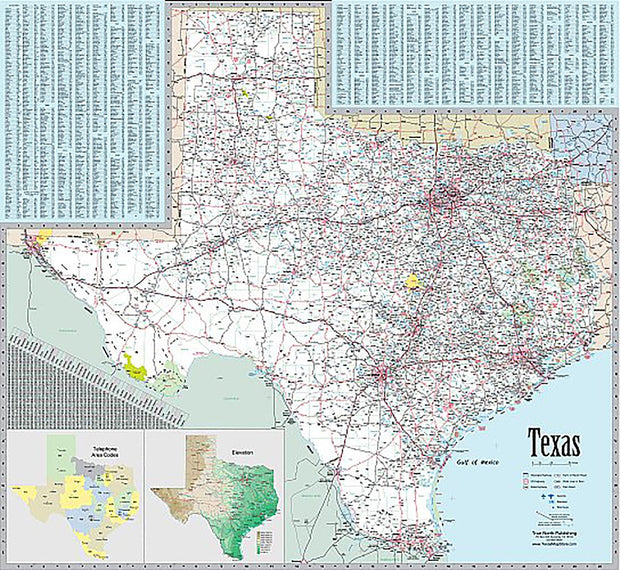
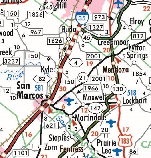
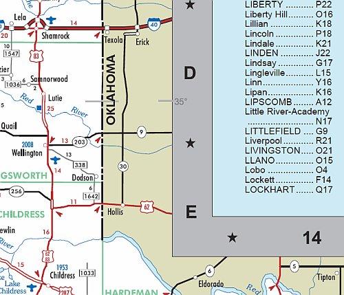
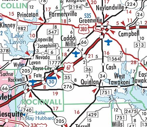
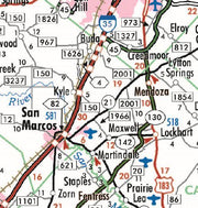
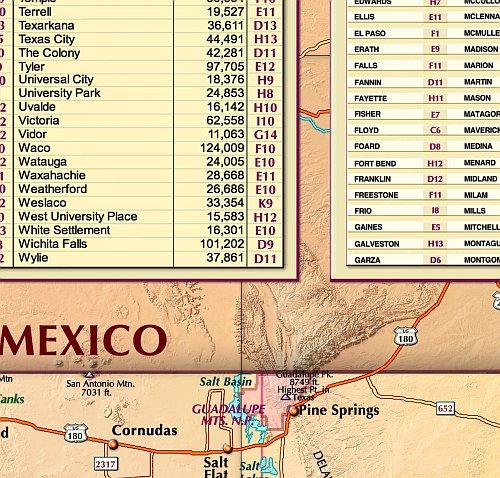
This extremely popular map includes all state, US and Interstate highways, cities & towns, airports, elevations, rivers, lakes, parks and county names and boundaries. Also included are inset maps of telephone area codes, statewide elevation contours and a mileage chart.
This map is rolled and shipped in a sturdy cardboard tube.
Texas Executive Wall Map by Texas Map Store, Gulf of America Edition
1 review
TXWM018GA
Regular price
$59.95
-2 in stock
Paper or laminated
Fully Indexed
Includes Counties, Cities, Roads, State Parks
Inset Maps of Area Codes and Elevations
This extremely popular map includes all state, US and Interstate highways, cities & towns, airports, elevations, rivers, lakes, parks and county names and boundaries. Also included are inset maps of telephone area codes, statewide elevation contours and a mileage chart.
This map is rolled and shipped in a sturdy cardboard tube.
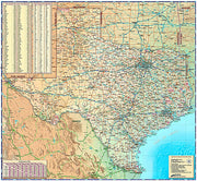
This is a colorful and easy-to-read map featuring topography in shaded relief. Beautiful as well as functional, this map from Compart will brighten any office or study.
This map comes rolled and ships in a sturdy cardboard tube.
Texas Decorative Wall Map by Compart Maps, Gulf of America Edition
1 review
TXWM017GA
Regular price
$59.95
-4 in stock
Paper or laminated
City/Town Index
Includes Counties, Cities, Highways
Beautiful and Functional
This is a colorful and easy-to-read map featuring topography in shaded relief. Beautiful as well as functional, this map from Compart will brighten any office or study.
This map comes rolled and ships in a sturdy cardboard tube.
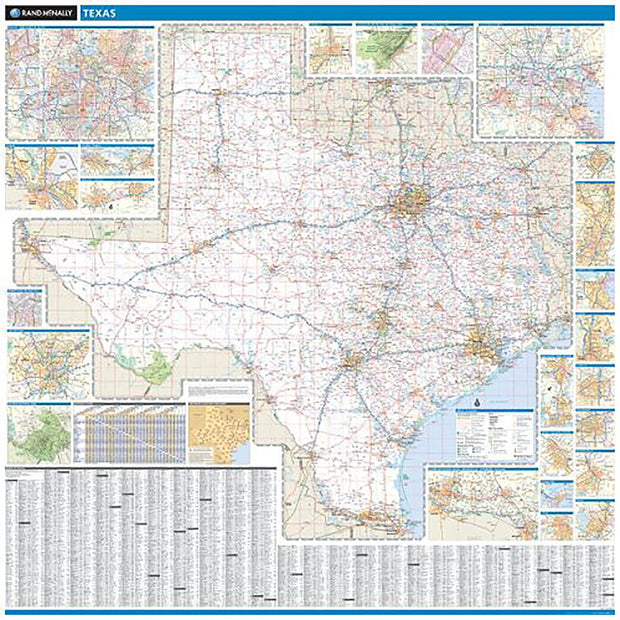
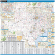
Rand McNally's regional wall map of Texas is ideal for anyone needing a comprehensive representation of the area for planning, routing, or reference. It's a great choice for business and sales strategy, urban development, social work outreach, education, and marketing. Texas residents, businesses, and government offices are sure to find this wonderful reference tool irreplaceable.
The laminated wall map is printed with UV-resistant ink to help prevent color fading.
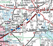
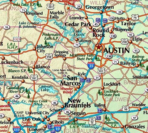
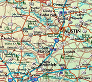
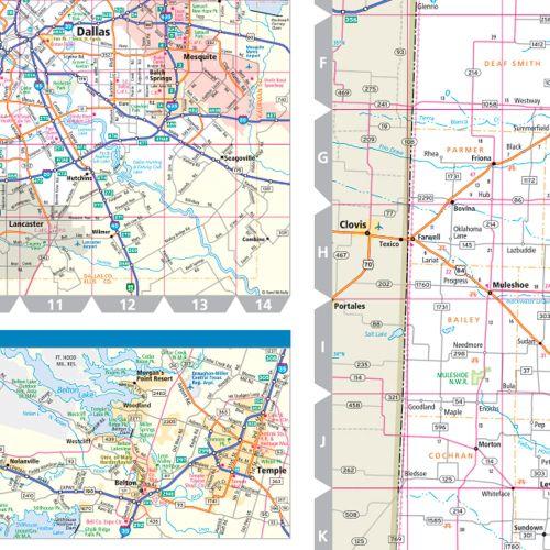
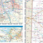
Map details include state highways, federal highways, county highways, county boundaries, city shading, cities and towns, major waterways, state/national parks, campsites, exit numbers, rest areas, military installations, airports, golf courses, universities, and much more.
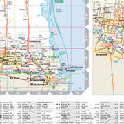
You'll also find a city/county index on the map and a driving times map between major cities in the region.
This truly complete wall map even includes a hanging kit with rails for easy mounting just about anywhere.
COVERAGE AREA
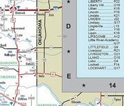
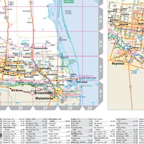
Inset maps include: Abilene; Amarillo; Austin; Beaumont; Bryan/College Station; Corpus Christi; Dallas/Fort Worth & Vicinity; Dallas downtown; El Paso; Fort Worth downtown; Galveston; Houston; Houston downtown; Laredo; Lower Rio Grande Valley Region (McAl