-6 in stock
- Laminated with Wood Hanging Rails
- 65" W x 46" H
- Fully Indexed
- Includes Cities, Highways, Time Zones, Long/Lat
- Full Coverage TX, AR, OK, NM, LA, MS
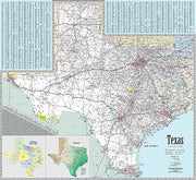
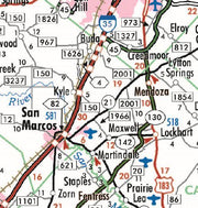
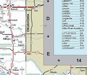
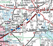
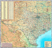
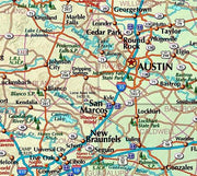
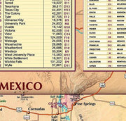
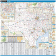
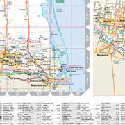
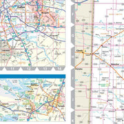
This laminated South Central United States wall map shows all of Arkansas, Louisiana, Mississippi, New Mexico, Oklahoma and Texas with partial coverage of Illinois, Indiana, Tennessee, Alabama, Arizona, Colorado, Kansas, and Missouri. The map features state, US and interstate highways, time zones, rivers and lakes, national forests, state lines, mountain ranges, longitude/latitude, cities and towns. Indexing is on the face of the face of the map. Framing rails are included on top and bottom for easy wall mounting.


