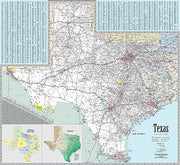
-3 in stock
- Laminated with Wood Hanging Rails
- 67" W x 53" H
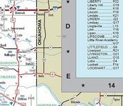
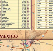
- Index of Counties and Cities
- Includes Color Coded Counties, Cities, Mileage Chart
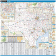
- Inset Map of DFW, Greater Houston and El Paso
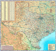
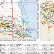
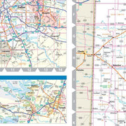
This Texas Wall Map by Kappa Map Group measures 67" W x 53" H and includes up-to-date cartography, color coded counties, a mileage chart between major cities, City/County Index on the face of the map, State of Texas fact Index, Discover Texas Index of Parks and Historical Sites and a laminated surface making the map both markable and washable.
Click
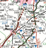
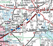
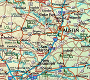
HERE for a detailed view of a section of this map.
Details include all state and federal highways, major waterways, state universities, military installations, major airports, wildlife areas, cities, state parks, county names, time zones, and numerous points of interest.
Insets: Dallas/Ft. Worth, Houston/Texas City/Galveston and the El Paso Areas.


