Skip to content
  • Texas Maps
    • Road Atlases
    • Wall Maps
    • Folded Maps
  • City Maps
    • Texas City Wall Maps
    • Street Guides
    • Folded Maps
  • Historical Maps
    • Texas
    • Topographic
    • County
    • War
  • Topographic Maps
    • Current
    • Historical
  • Classroom Maps
    • Earth Sciences
    • Educational
    • Historical
  • Outdoor Maps
    • Fishing Maps
    • Birding Maps
    • Current Topo Maps
  • Decorative Maps
    • Historical
    • Reference
  • Everything Else
    • Other State
      • Other State Historical Maps
    • USA
      • USA Historical Maps
      • USA Road Atlases
      • USA Wall Maps
    • World
      • World Wall Maps
    • Globes
    • Custom
      • Custom Design Maps
  • Log in
Cart
Texas Map Store | Have a question? | email: truenorth@gvtc.com
  • My Account
    • Login
    • Contact Us
  • View Cart
Texas Map Store Texas Map Store Texas Map Store Texas Map Store
Log in Search Cart
  • Texas Maps
    • Road Atlases
    • Wall Maps
    • Folded Maps
  • City Maps
    • Texas City Wall Maps
    • Street Guides
    • Folded Maps
  • Historical Maps
    • Texas
    • Topographic
    • County
    • War
  • Topographic Maps
    • Current
    • Historical
  • Classroom Maps
    • Earth Sciences
    • Educational
    • Historical
  • Outdoor Maps
    • Fishing Maps
    • Birding Maps
    • Current Topo Maps
  • Decorative Maps
    • Historical
    • Reference
  • Everything Else
    • Other State
      • Other State Historical Maps
    • USA
      • USA Historical Maps
      • USA Road Atlases
      • USA Wall Maps
    • World
      • World Wall Maps
    • Globes
    • Custom
      • Custom Design Maps
Home / Texas Wall Maps / TX City / County Maps. TX City / County Maps: San Antonio

Texas Wall Maps

Texas Wall Maps


  • View all
  • Austin Wall Maps
  • Compart. Compart: Wall Maps
  • Decorative Maps
  • Earth Sciences
  • Educational Maps
  • Texas Wall Maps
  • TX City / County Maps. TX City / County Maps: San Antonio
  • TX City / County Maps. TX City / County Maps: South Texas
  • Universal Map. Universal Map: Wall Maps

Quick view
Texas Hill Country Wall Map
from $175.00
Quick view
Texas Hill Country Map
Texas Hill Country Winery Map
$39.95
Texas Hill Country Wall Map

Texas Hill Country Wall Map

TXWM030-1

Regular price $175.00
0 in stock

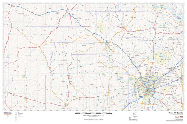
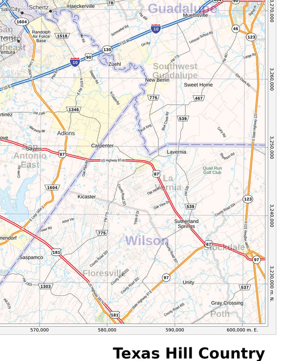
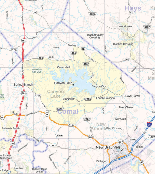
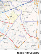
Texans have been singing the praises of their beloved Texas Hill Country for years and it’s not at all hard to see why. The splendid rolling hills hum with unique varieties of vegetation, spring-fed rivers, colorful culture, and some of the best barbecue in the country! Don’t even get us started on the fantastic real estate, diverse art and music offerings, and the abundance of fun activities. It comes as no surprise then that the Hill Country is a favorite getaway among Texans and out-of-state visitors alike.

The region sits upon the Edwards Plateau and stretches from Austin to San Antonio on the east and Concan to Junction on the west. It covers over 10,000 square miles of beautiful rolling hills, grasslands bathed in bluebonnets, expansive lakes, quaint cities and small towns, all of which offer visitors an adventure unlike any other.

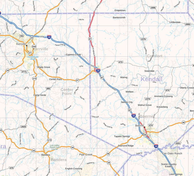
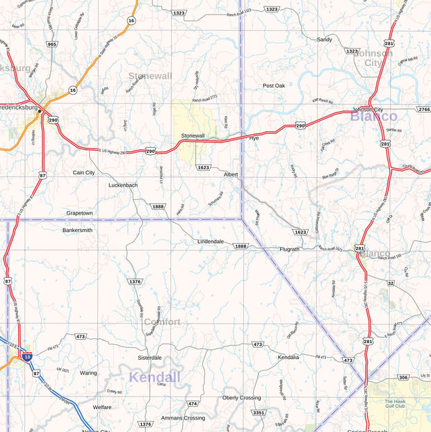
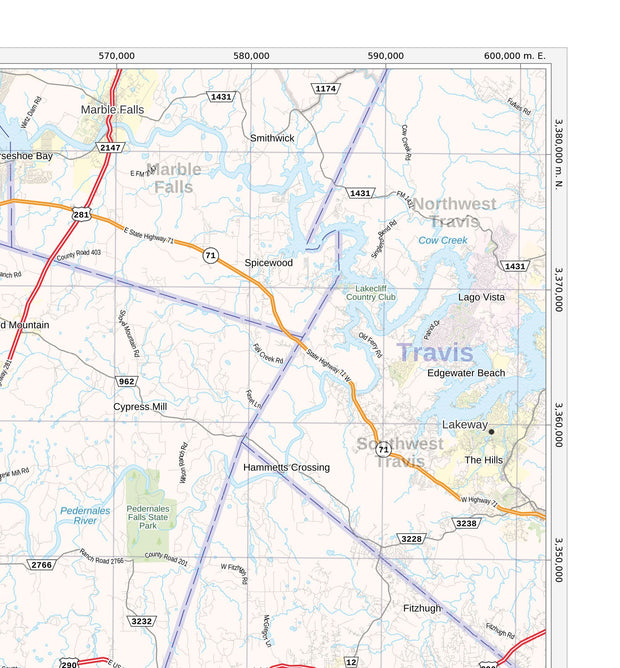
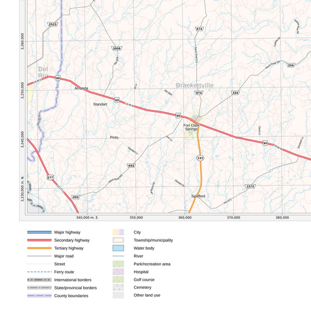
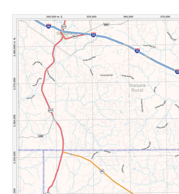
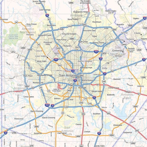
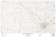
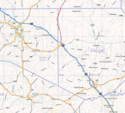
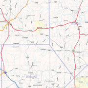
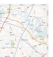
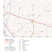
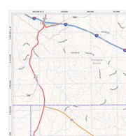
This up to date map includes counties, cities, towns, highways, FM roads, lakes, rivers, park and rec areas and golf courses.

Texas Hill Country Map

Texas Hill Country Winery Map

TXWM021

Regular price $39.95
-3 in stock

  • Printed on Heavy Parchment Stock
  • 29" W x 26" H
  • Includes topographical layering and rich colors
  • Covers the Texas Hill Country
  • Also shows locations for Texas Wineries


This beautiful map is printed on heavy parchment stock and captures the beauty of the Texas Hill Country like no other map. This map includes topographical layering, rich colors and major attractions such as state campgrounds, wineries and historic sites.

The coverage area extends to Medina and Ingram to the west, Cherry Spring and Pflugerville to the north, Lochart and Luling to the east and Hondo and La Vernia to the south.

This map is functional, decorative and is perfect for framing.

Interested in a framed version of this map? Click HERE

Texas Map Store

Powered by Shopify


True North Publishing dba Texas Map Store has been publishing and selling maps for Texas since 1997. We continually strive to produce the most accurate and up-to-date maps available. We heartily welcome your suggestions, so please feel free to call, write or email any time.

More Stuff

  • Custom Maps
  • Tax Exempt Purchases
  • Contact Us
  • About Us
  • Shipping
  • Refunds and returns
  • Privacy Policy
  • Terms of Service

Categories

  • Texas Maps
  • City Maps
  • Historical Maps
  • Topographic Maps
  • Classroom Maps
  • Outdoor Maps
  • Decorative Maps
  • Everything Else

Join TMS Newsletter

Sign-up for Discounts, Coupons, New Product Arrivals and Recent News.

Texas Map Store

Powered by Shopify

  • american express
  • diners club
  • discover
  • jcb
  • master
  • paypal
  • visa

Everything Ships Free!

Welcome to the Texas Map Store

where every item has a free shipping option!