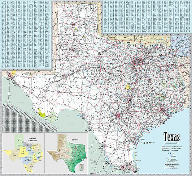
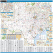
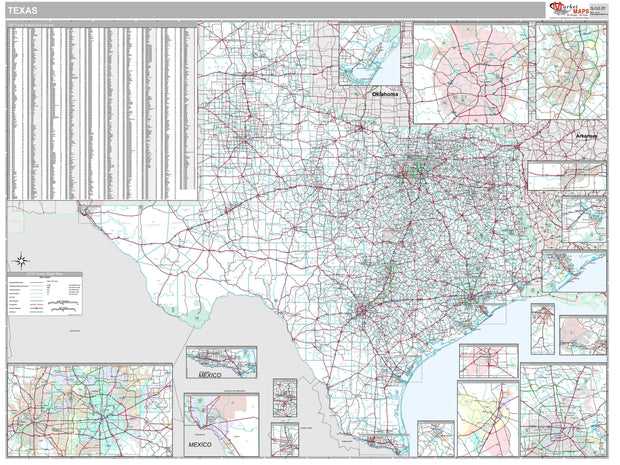
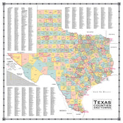
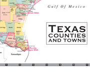
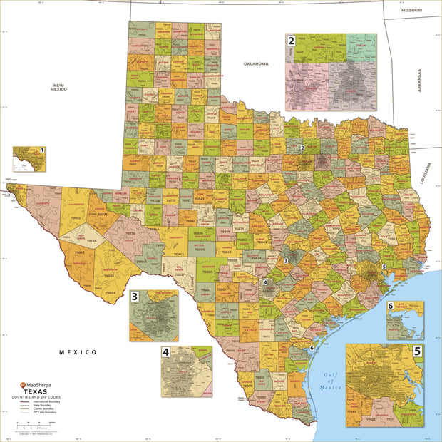
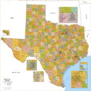
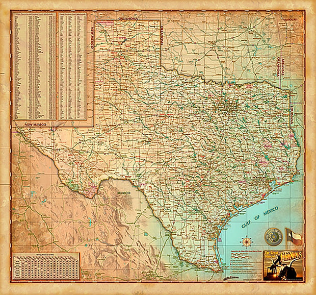
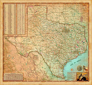
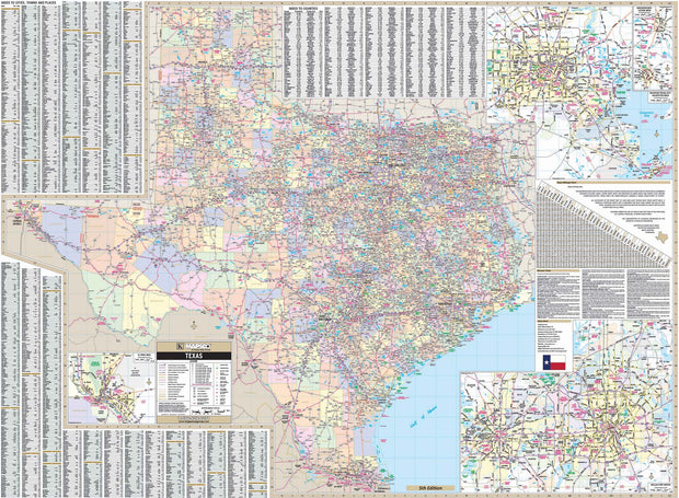
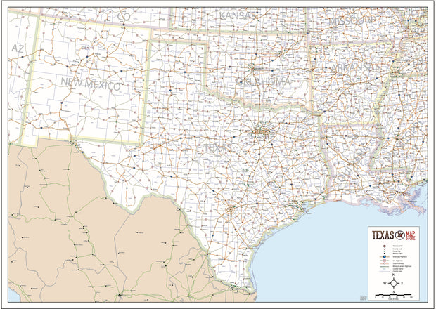
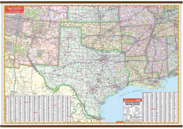
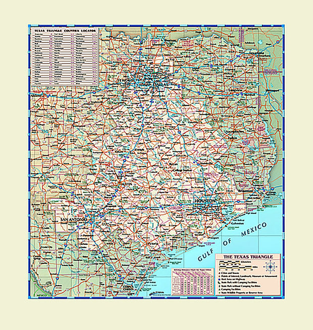
Explore Our Texas State Map Collection
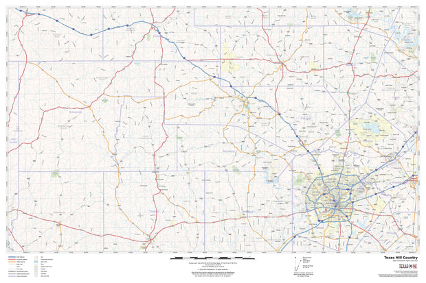
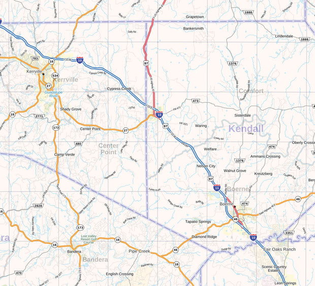
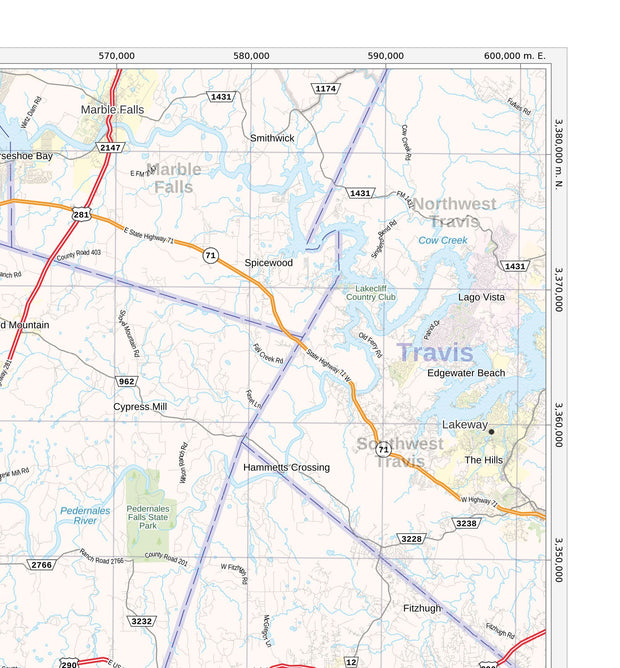
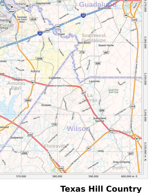
Functional as well as decorative, discover Texas from every angle with our collection of Texas state maps. This collection features several high-quality, current state maps perfect for travel planning, business planning, or wall display. These maps are available in multiple sizes to suit your space or specific needs. All these maps offer free shipping.
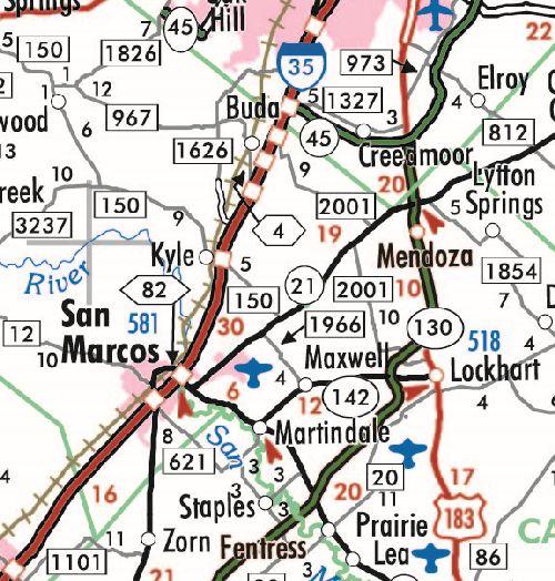
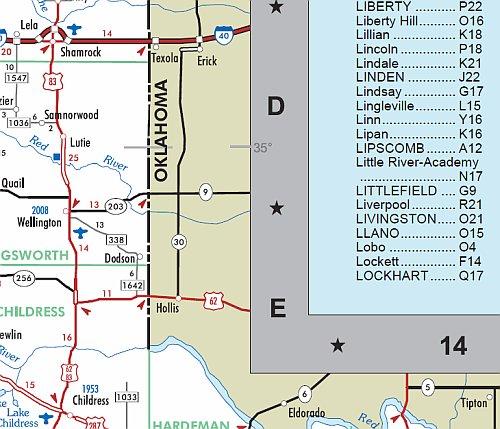
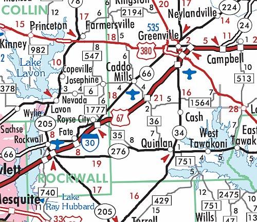
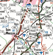
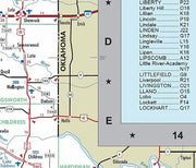
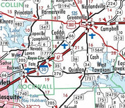
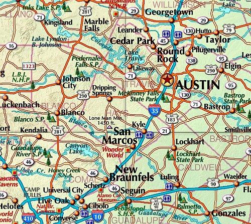
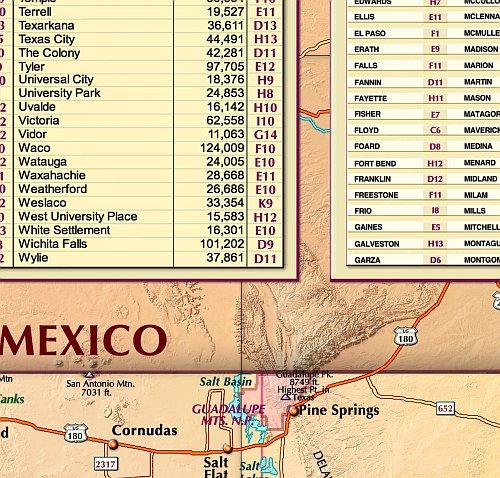
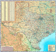
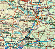
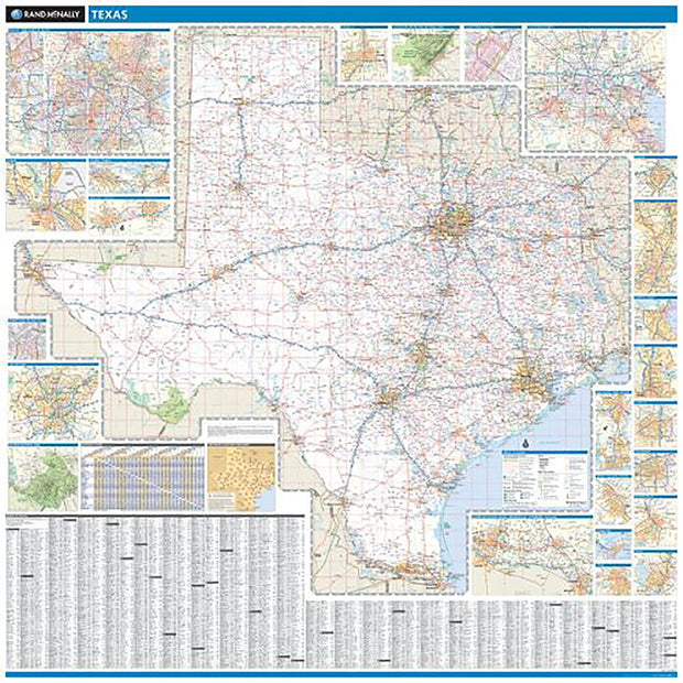
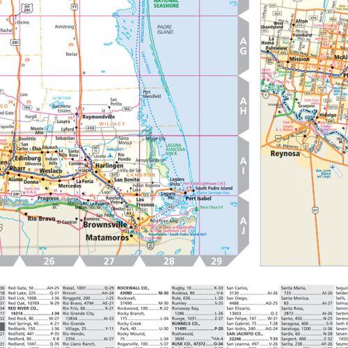
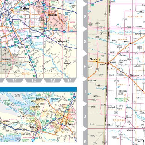
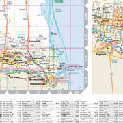
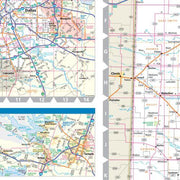
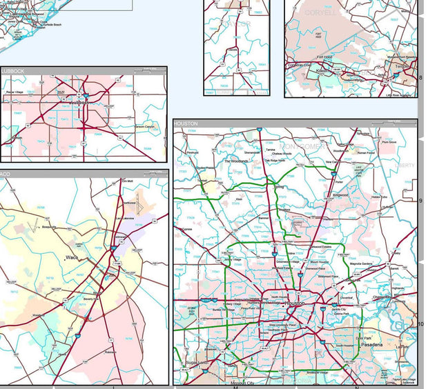
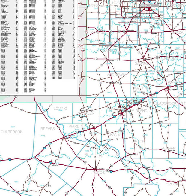
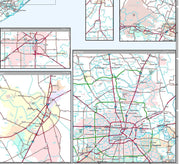
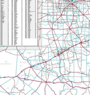
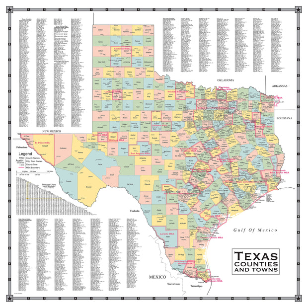
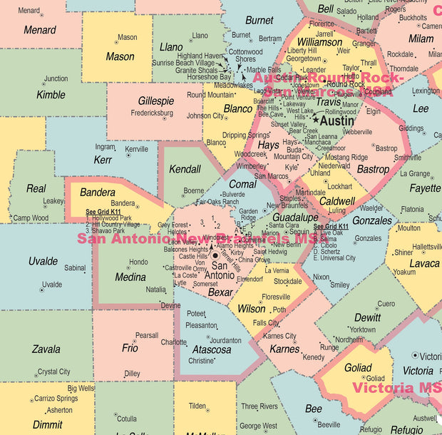
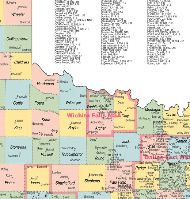
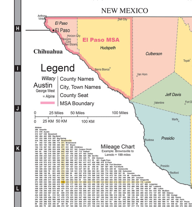
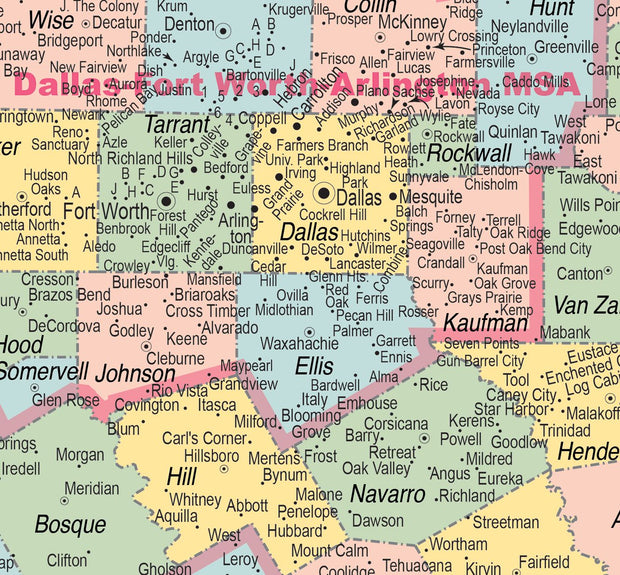
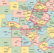
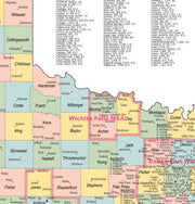
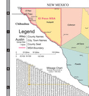
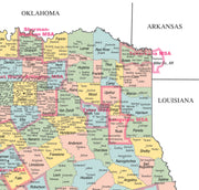
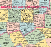
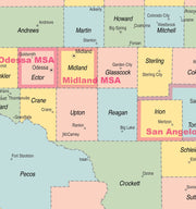
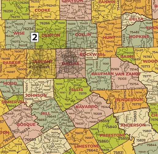
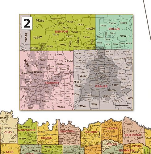
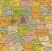
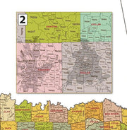
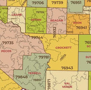
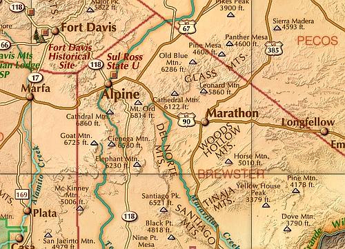
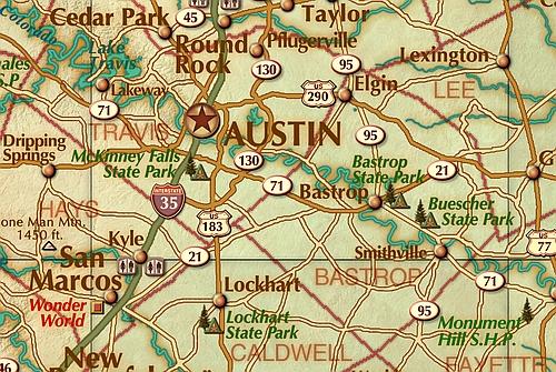
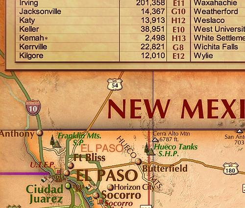
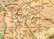
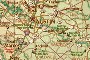
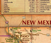
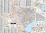
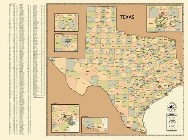
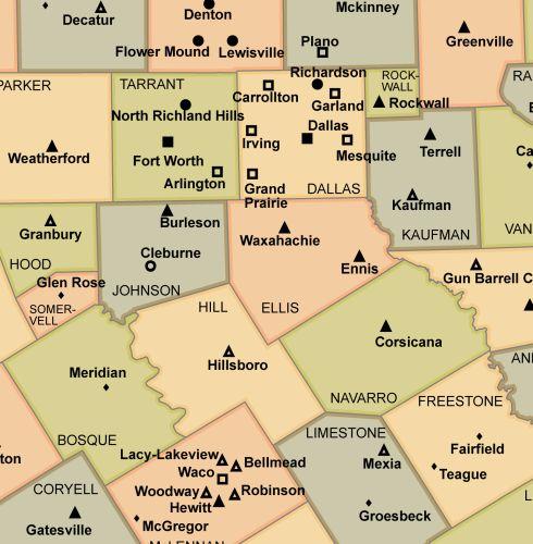
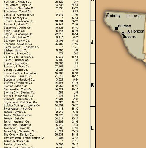
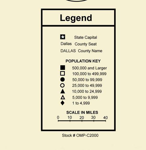
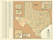
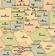
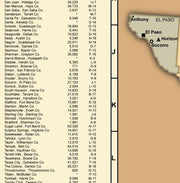
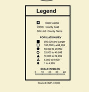
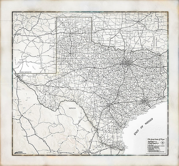
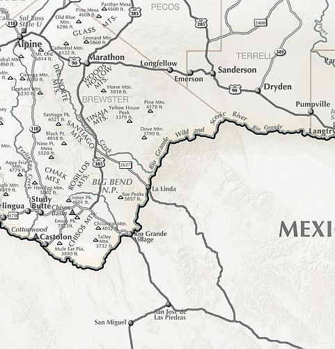
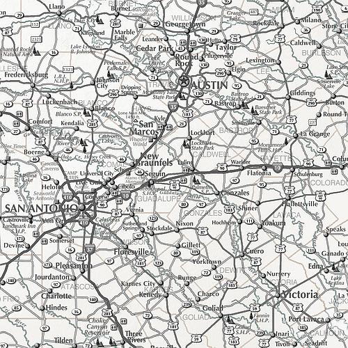
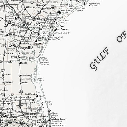
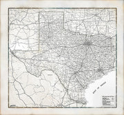
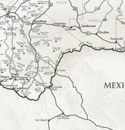
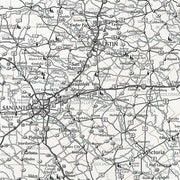
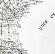
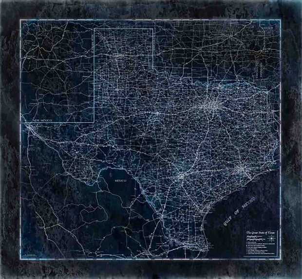
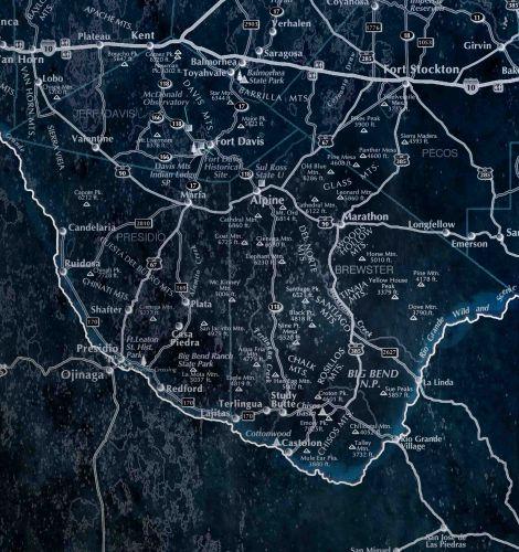
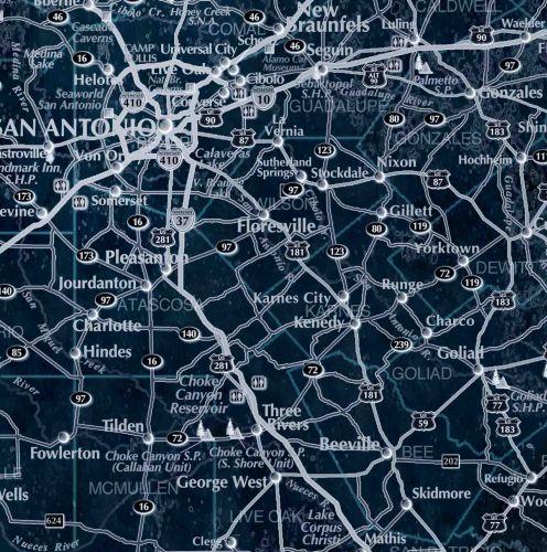
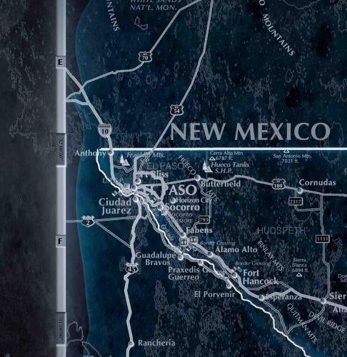
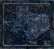
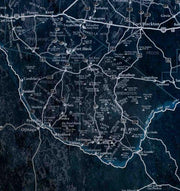
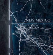
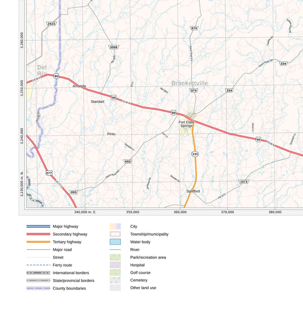
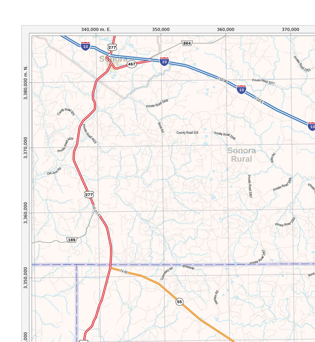
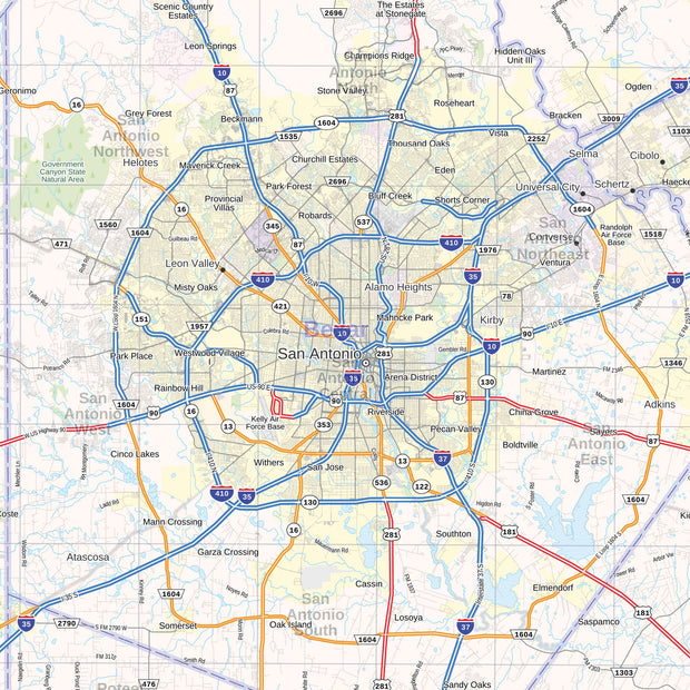
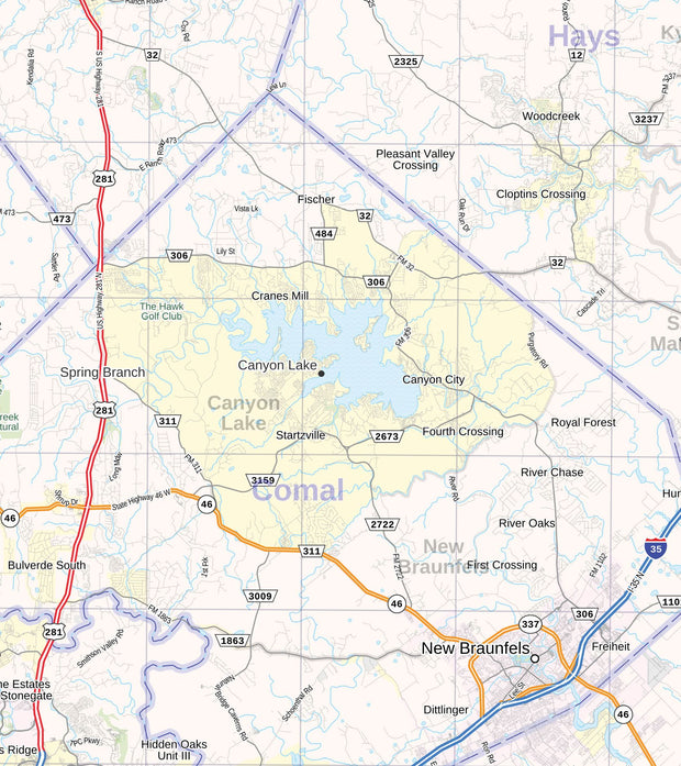
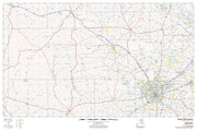
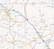
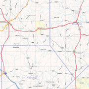
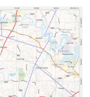
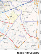
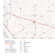
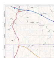
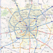
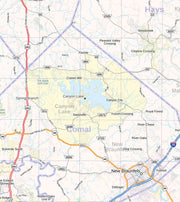
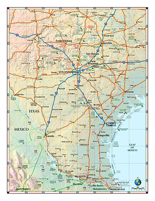
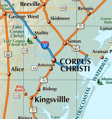
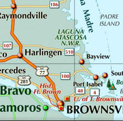
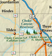
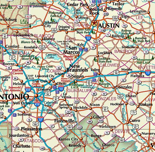
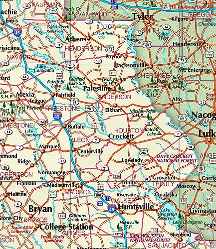
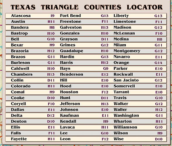
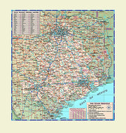
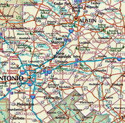
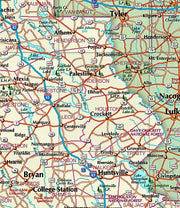
Features vary but may include cities, counties, shaded relief topography, highways, state and national parks, and other points of interest.
Available formats include:
- Paper - printed on 36 lb bond, perfect for framing
- Laminated - durable and perfect for dry-erase marker use
- Laminated with hanging rails - ready to hang with professional rails installed top & bottom
These maps are designed and printed in the USA
Perfect for planning, teaching, or displaying your state pride. Buy your map online and have it delivered within a few days.