-1 in stock
- Laminated with wood hanging rails
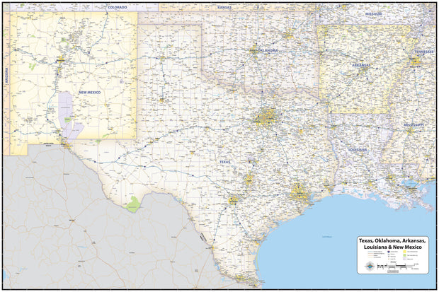
- 58" W x 77" H
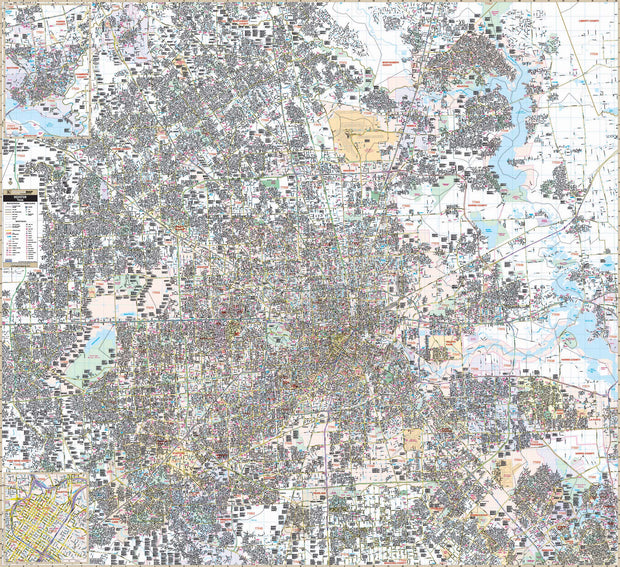
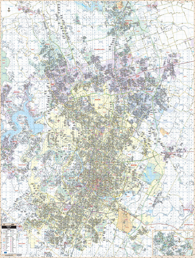
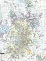
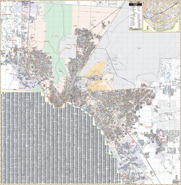
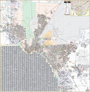
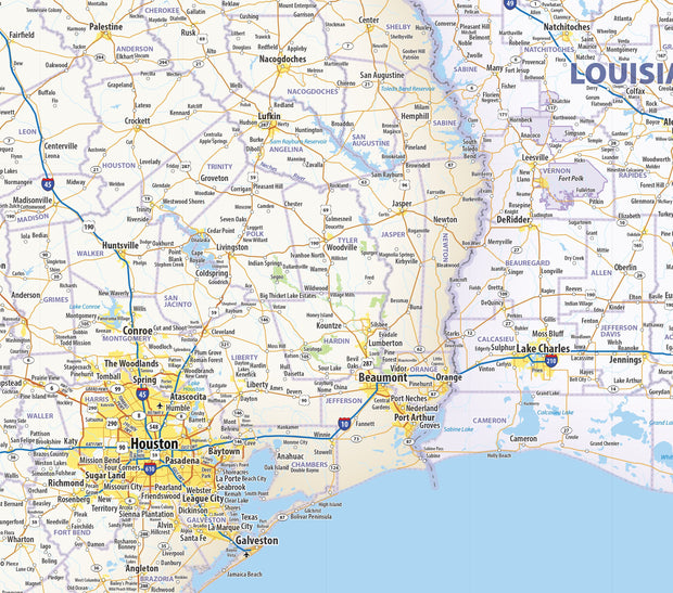
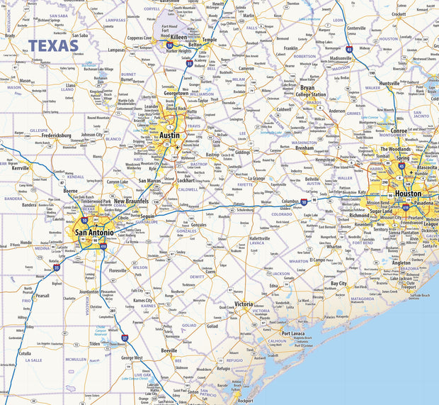
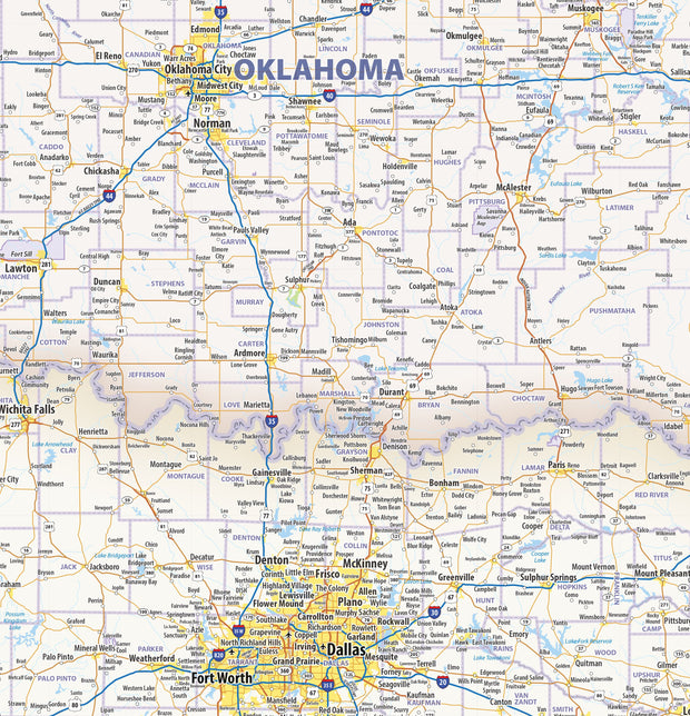
- Street level detail
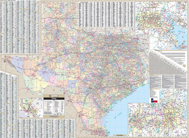
- Mapsco cartography matches Mapsco Street Guides
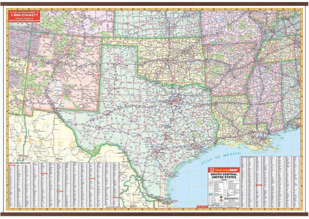
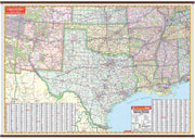
- Includes Zip Code Boundaries
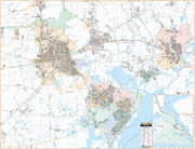
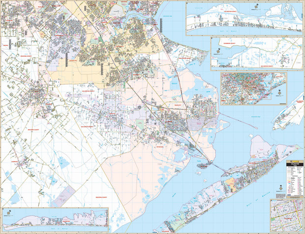
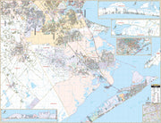
The Austin, Texas Wall Map by Kappa Map Group (Mapsco) measures 59" by 78" and includes new streets and all the new community details. Shows all of Austin, Texas in complete street detail covering: North: to Leander and Round Rock; South: to San Leanna and all of Austin; East: includes Pflugerville, and Walter E. Long Park and Lake; West: to Lakeway and all of Jonestown.
Also includes all streets/highways, educational institutions, hospitals, governmental buildings, golf/country clubs, ZIP codes/boundaries, post offices, fire/police stations, shopping centers, airports, cemeteries, libraries, recreational parks, water features, railroads, block numbers, and points of interest. Mark-able and washable laminated surface, up-to-date cartography with complete street detail, and street indexing in a separate book. Page numbers and grid compatible with Mapsco Austin Street Guide. Hanging rails are included on top and bottom for easy wall mounting. Laminated.
Click
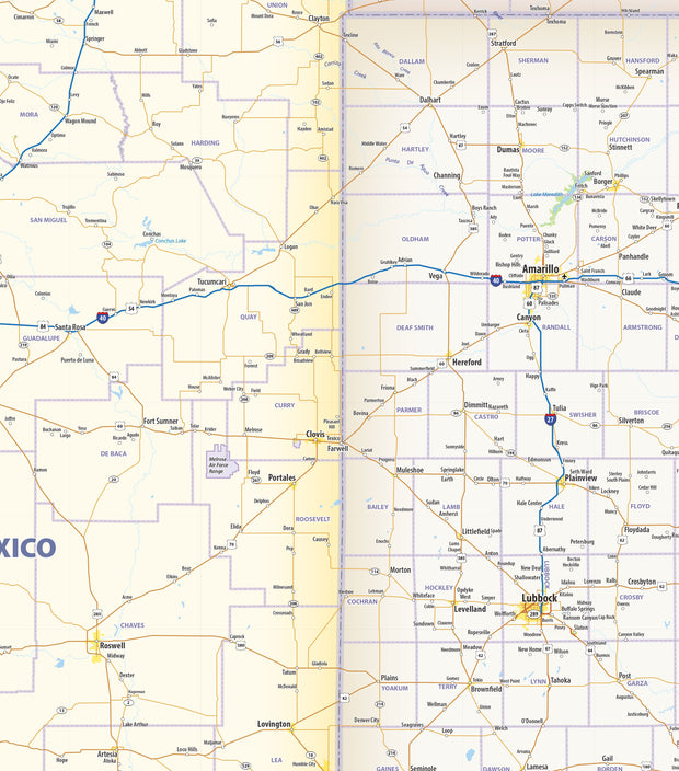
HERE for a more detailed view of a section of this map.