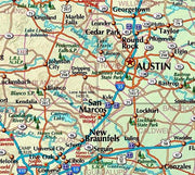
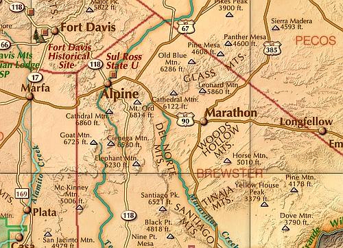
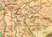
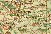
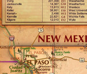
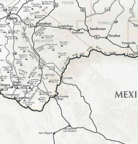
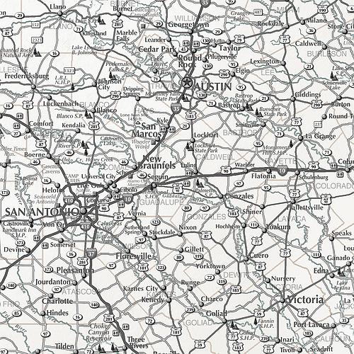
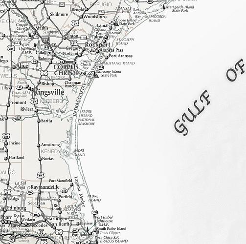
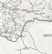
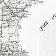
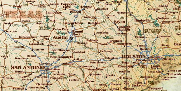
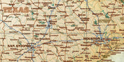
Covers South Texas from the Hill Country to Brownsville
This regional map of South Texas covers the Brady and Lampasas in the Hill Country all the way to the South Texas Border. Includes cities, towns, highways, rivers, state parks and more. Perfect for anyone looking for an up close representation of South Texas.
This map comes rolled and ships in a sturdy cardboard tube.
This is a colorful and easy-to-read map featuring topography in shaded relief. Beautiful as well as functional, this map from Compart will brighten any office or study.
This map comes rolled and ships in a sturdy cardboard tube.
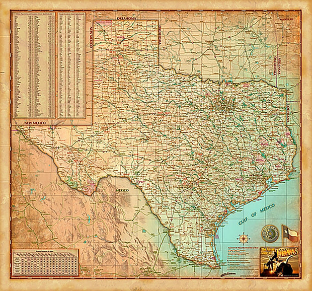
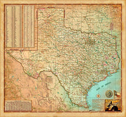
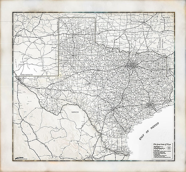
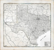
Antique Style Texas Wall Map
1 review
TXWM017A
Regular price
$44.95
-41 in stock
Paper or Laminated
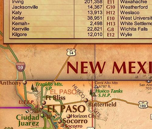
City/Town Index
Includes Counties, Cities, Roads
Antiqued Finish Perfect for Office or Study
This decorative map of Texas is colorful and easy-to-read featuring topography in shaded relief. Beautiful as well as functional, this map will brighten any office, classroom or study.
This map comes rolled and shipped in a sturdy cardboard tube.
Interested in a framed version of this map? Click HERE
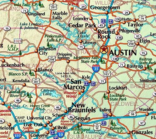
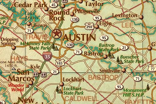
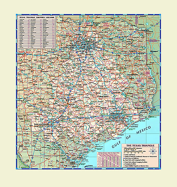
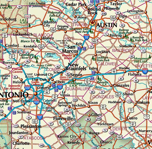
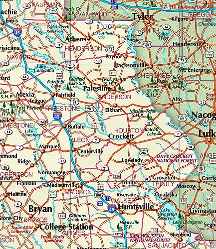
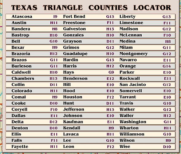
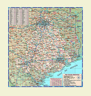
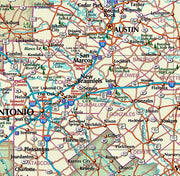
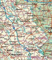
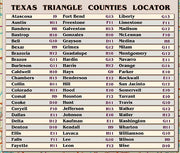
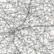
Covers Dallas, Houston, San Antonio and all points in between
Formed by the 4 largest metropolitan areas in the state, the area known as the Texas triangle is one of the 11 megaregions in the United States. The Texas Triangle is home to more than 70% of all Texans making this map perfect for sales teams, logistic and service companies or anyone looking for a great looking map of THE TRIANGLE. This is a colorful and easy-to-read map featuring topography in shaded relief.
This map comes rolled and ships in a sturdy cardboard tube.
Texas Rustic Wall Map
TXWM017R
Regular price
$44.95
-11 in stock
Paper or laminated
Includes Counties, Cities, Highways and more
Rustic Finish is Perfect for Decorating
This rustic style map of Texas is particularly popular with decorators. It is also easy-to-read and features topography in shaded relief. Beautiful as well as functional, this map from will add a touch of class to any office or study.
This map comes rolled and ships in a sturdy cardboard tube.
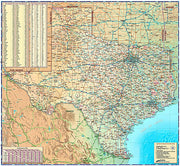
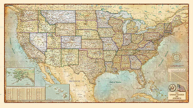
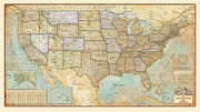
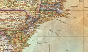
USA Antiqued Wall Map
USWM003
Regular price
$69.95
-6 in stock
Cities, State Borders, Highways, Latitude, Longitude, Points of Interest, Capitols
Classic Antique Atlas Style
Works beautifully with dark wood furniture and trim, a designers delight
This Antiqued USA Wall Map is beautifully illustrated with subtle earth tone hues. The detail is highly legible with state borders clearly defined. In classic Antique Atlas style, this map can be used for general reference, to track current events, or as a piece of art. Decorators will find the color scheme works beautifully with dark wood furniture and trim. This map is a designer's delight.
This map comes rolled and ships in a sturdy cardboard tube.