Fort Worth Street Map by Rand McNally

Fort Worth Street Map by Rand McNally

FOLD022

Regular price $14.95
-83 in stock

Learn More About Paper vs Laminated vs Laminated with Hanging Rails →

Rand McNally's folded map for Fort Worth is a must-have for anyone traveling in and around this part of Texas, offering unbeatable accuracy and reliability at a great price. Our trusted cartography shows all Interstate, U.S., state, and county highways, along with clearly indicated parks, points of interest, airports, county boundaries, and streets. The easy-to-use legend and detailed index make for quick and easy location of destinations. You'll see why Rand McNally folded maps have been the trusted standard for years.

  • Regularly updated
  • Full-color maps
  • Clearly labeled Interstate, U.S., state, and county highways
  • Indications of parks, points of interest, airports, county boundaries, schools, shopping malls, downtown & vicinity maps
  • Easy-to-use legend
  • Detailed & full street index
  • Convenient folded size
  • Copyright 2019

COVERAGE AREA

Communities Included: Arlington,Bedford, Euless, Dalworthington Gardens, Edgecliff, Forest Hill, Haltom City, Hurst, Richland Hills, Rover Oaks, Sansom Park, Westover Hills, Westworth, White Settlement plus downtown enlargement.

PRODUCT DETAILS

Measures 9.5" x 4" and folds out to 40" x 28".


Customer Reviews

Based on 5 reviews
80%
(4)
20%
(1)
0%
(0)
0%
(0)
0%
(0)
M
Milton Bentley

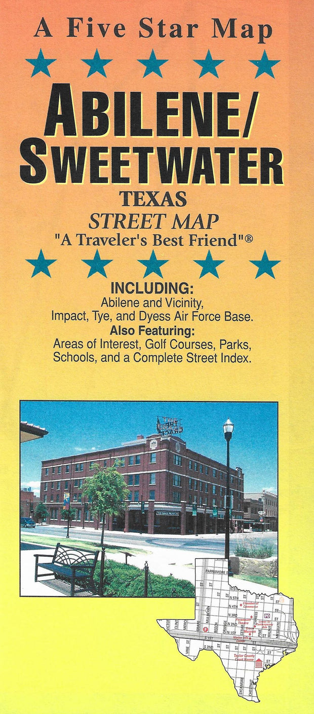
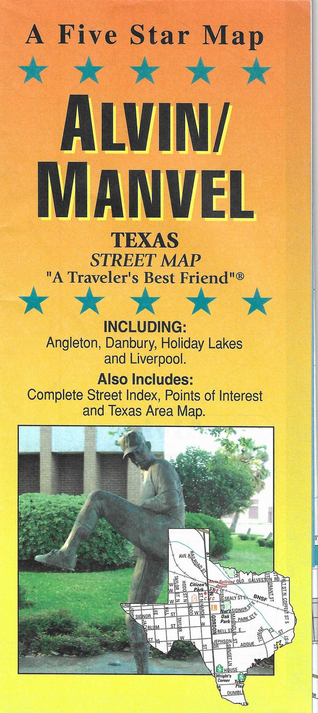
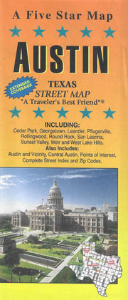
A wonderful and useful map, though not all that practical on the road. Even pulled off in a safe spot, and given that I have long arms, I wasn't able to use it without spreading it out on the hood. That aside, it is most helpful and logically laid out.

S
Susan Golden

Just the map I needed and quick shipping. Packed well.

P
Petersons Landscape

it was like old days. everything i hoped and expected

M
Mary Townsend

I have enjoyed having the map of Fort Worth! Very good quality and great customer service!

A
Anonymous

Super!


You may also like